Cinderhills Wood
Wood, Forest in Derbyshire Derbyshire Dales
England
Cinderhills Wood
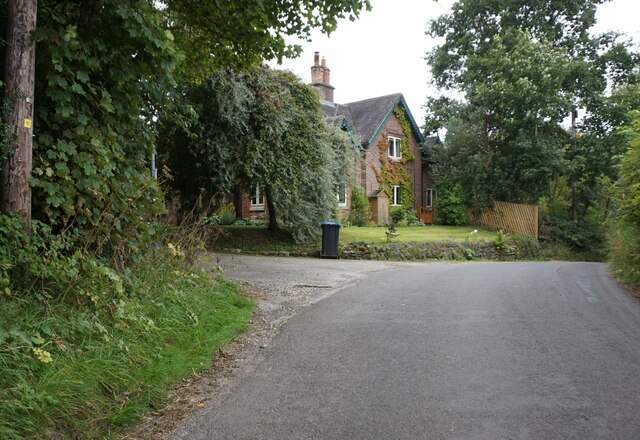
Cinderhills Wood is a picturesque woodland located in Derbyshire, England. Situated near the village of Cinderhills, the wood covers an area of approximately 50 acres and is known for its natural beauty and diverse ecosystem.
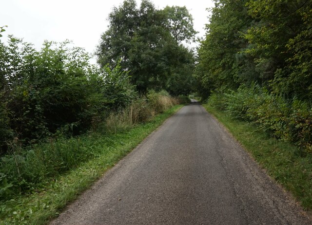
The wood is predominantly made up of deciduous trees, including oak, beech, and ash, which form a dense canopy that provides shade and shelter for a variety of wildlife. The forest floor is covered in a thick carpet of mosses, ferns, and wildflowers, creating a vibrant and colorful undergrowth.
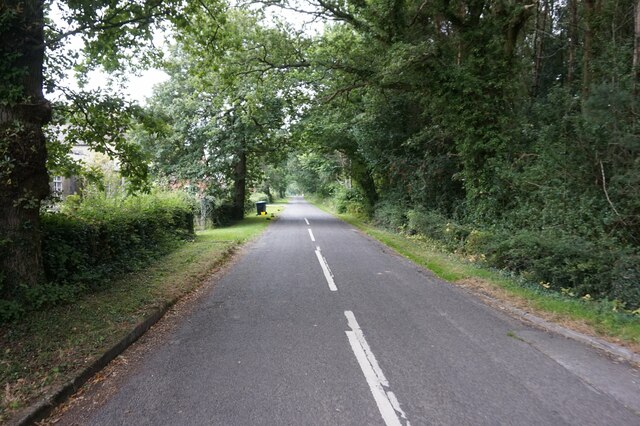
A network of well-maintained paths and trails crisscross the wood, allowing visitors to explore its many nooks and crannies. These paths are perfect for leisurely walks or more adventurous hikes, offering stunning views of the surrounding countryside and the opportunity to spot local wildlife.
Cinderhills Wood is home to a rich array of fauna, including squirrels, rabbits, foxes, and a wide variety of bird species. Birdwatchers often flock to the wood to catch a glimpse of the elusive woodpecker or to listen to the melodic songs of the resident thrushes and warblers.
The wood is also known for its historical significance, with remnants of old boundary walls and stone structures scattered throughout. These remnants serve as a reminder of the area's past and add an extra layer of charm to the woodland experience.
Overall, Cinderhills Wood is a stunning natural sanctuary, offering visitors a chance to immerse themselves in the beauty of Derbyshire's countryside and connect with nature.
If you have any feedback on the listing, please let us know in the comments section below.
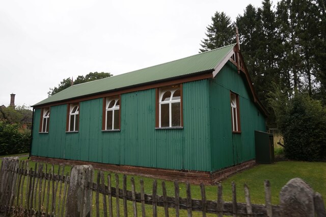
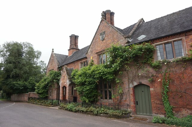
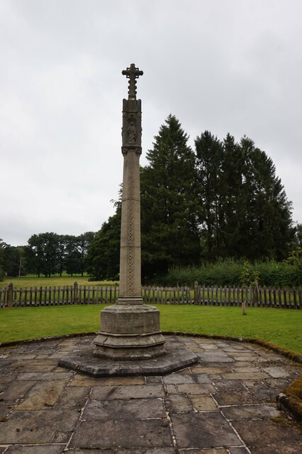
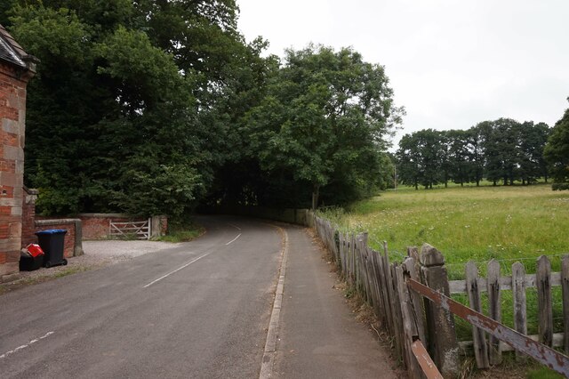
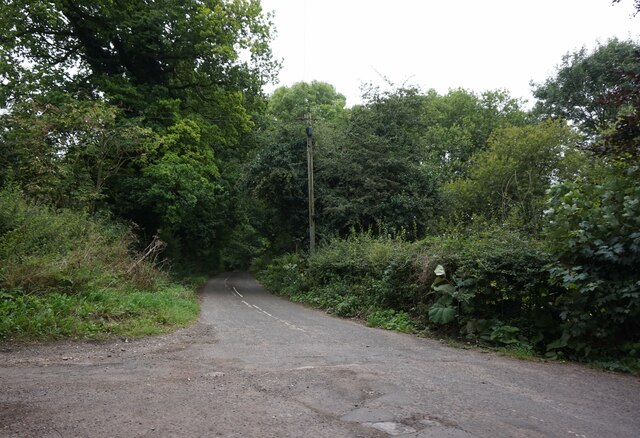
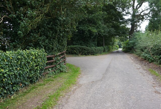
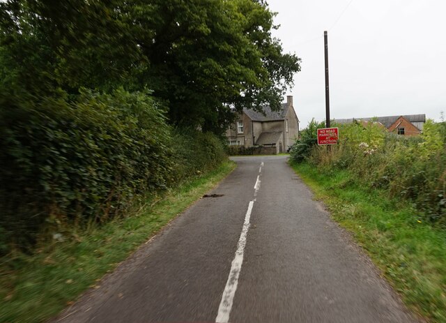
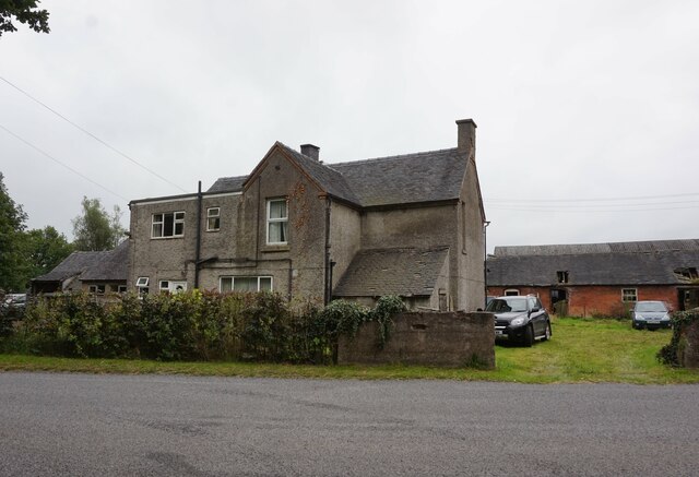
Cinderhills Wood Images
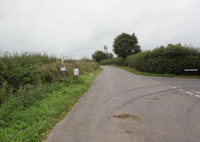
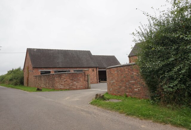
Images are sourced within 2km of 52.973789/-1.7607882 or Grid Reference SK1641. Thanks to Geograph Open Source API. All images are credited.
Cinderhills Wood is located at Grid Ref: SK1641 (Lat: 52.973789, Lng: -1.7607882)
Administrative County: Derbyshire
District: Derbyshire Dales
Police Authority: Derbyshire
What 3 Words
///idealist.intruding.unrated. Near Mayfield, Staffordshire
Nearby Locations
Related Wikis

Anacrehill
Anacrehill is an area of Snelston parish, to the south of the village. The area contains a small number of cottages and farmhouses located on Virginsalley...
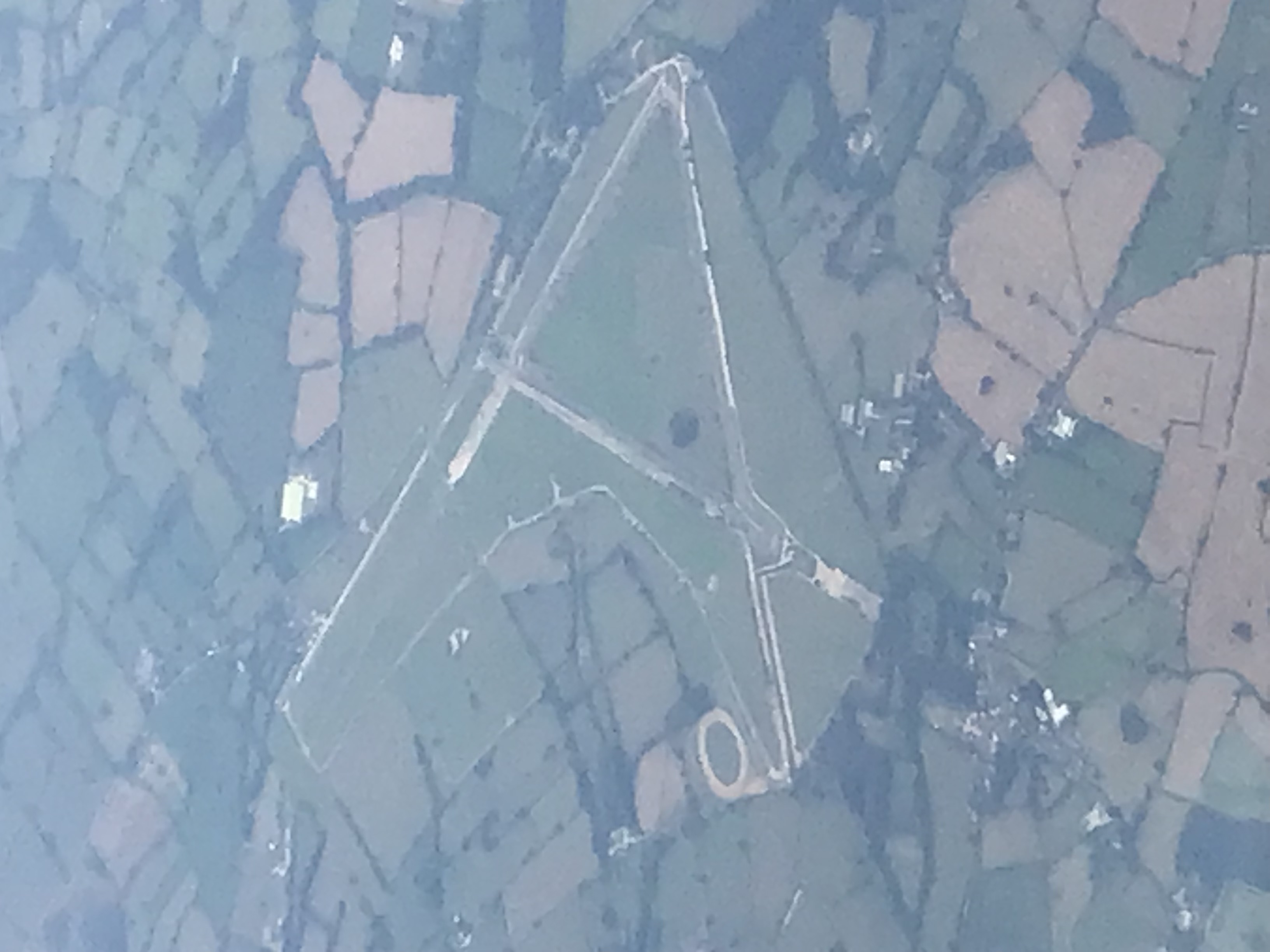
Darley Moor Airfield
Darley Moor Airfield and Road Race Circuit is situated on a high plateau adjacent to the A515, two miles south of Ashbourne, Derbyshire, England. The airfield...

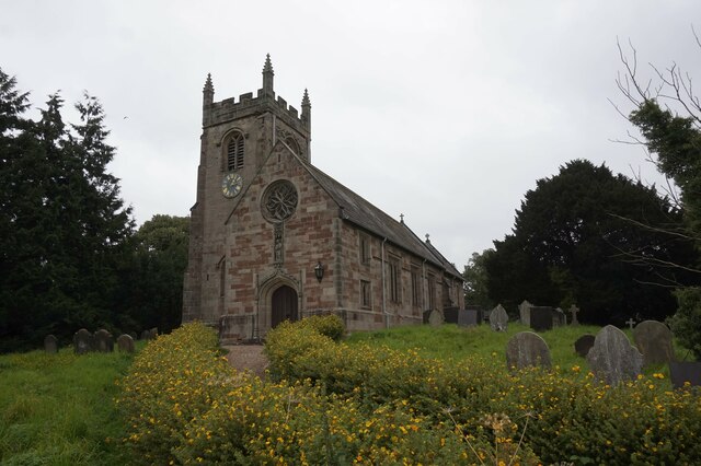
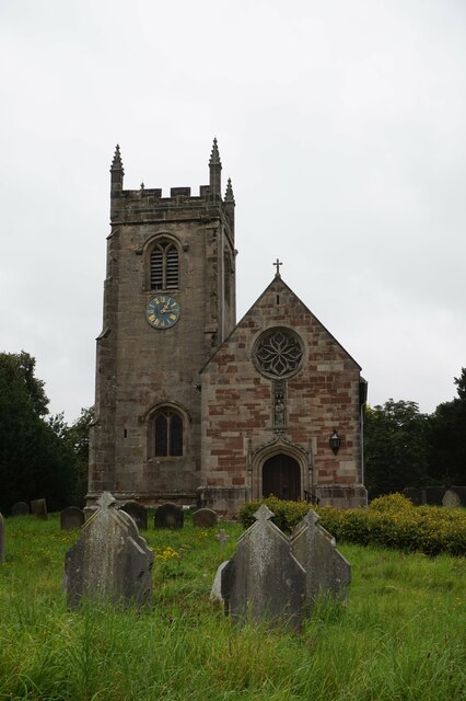
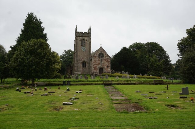
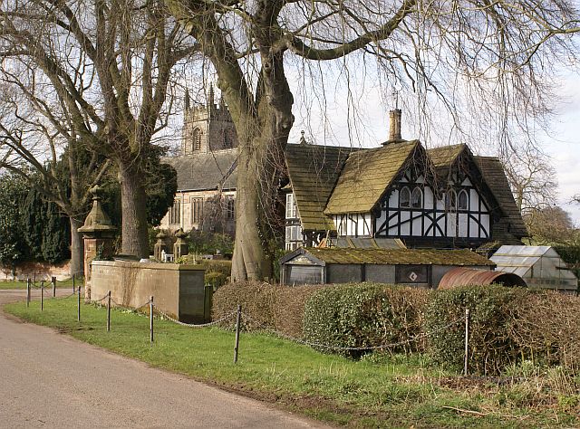
St Peter's Church, Snelston
St Peter's Church, Snelston is a Grade II* listed parish church in the Church of England: 319 in Snelston, Derbyshire. == History == The church dates...

Roston
Roston is a hamlet in Derbyshire, England. It is located north of Rocester. The Roston Inn (known locally as 'The Shant') is at the junction of Mill Lane...
Snelston
Snelston is a village and civil parish three miles south-west of Ashbourne in Derbyshire, England. It includes Anacrehill. The population of the civil...

Stydd Hall
Stydd Hall (Castle) is a country house located near to the village of Yeaveley, Derbyshire, 15 miles (24 km) west of Derby, close to the A515 between Wyaston...

Yeaveley Preceptory
Yeaveley Preceptory, also known as Stydd Preceptory, was a preceptory of the Knights Hospitaller, near the village of Yeaveley, in Derbyshire, England...
St James' Church, Edlaston
St James’ Church, Edlaston is a Grade II* listed parish church in the Church of England: 207 in Edlaston, Derbyshire. == History == The church dates from...
Nearby Amenities
Located within 500m of 52.973789,-1.7607882Have you been to Cinderhills Wood?
Leave your review of Cinderhills Wood below (or comments, questions and feedback).