Butlers' Wood
Wood, Forest in Yorkshire Harrogate
England
Butlers' Wood
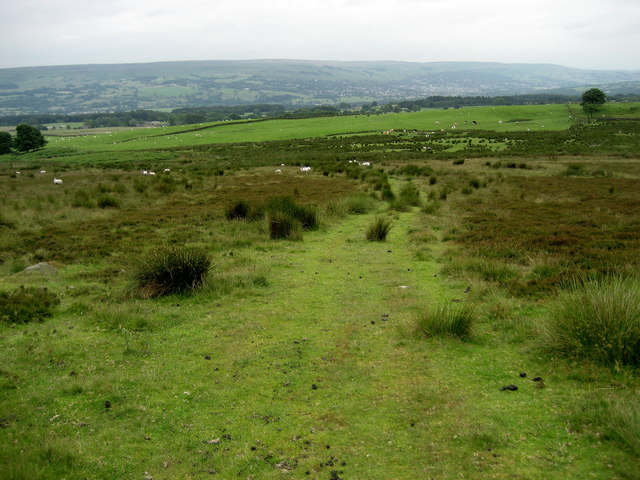
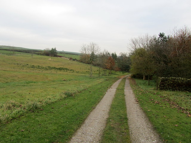
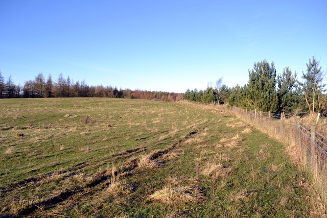
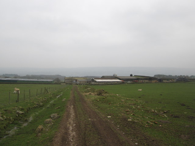
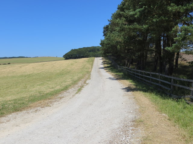
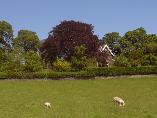
Butlers' Wood is a picturesque woodland located in the county of Yorkshire, England. Situated in a rural area, it covers a considerable area of land and is known for its natural beauty and diverse ecosystem.
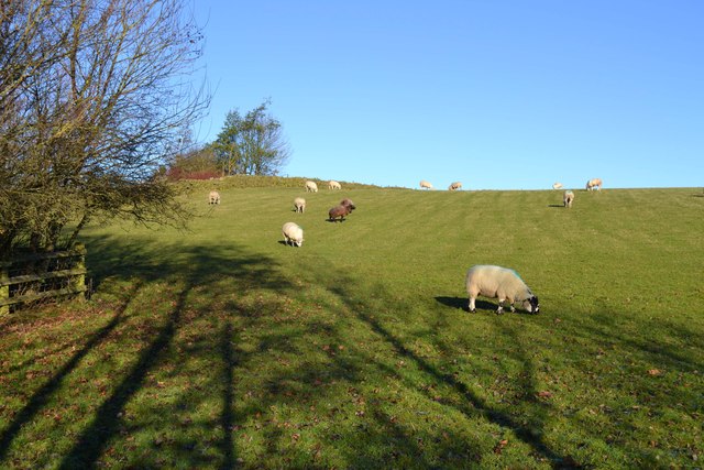
The wood is predominantly made up of a mixture of deciduous and coniferous trees, creating a rich tapestry of colors throughout the seasons. It is home to a variety of wildlife, including birds, deer, and smaller mammals, making it a popular spot for nature enthusiasts and birdwatchers.
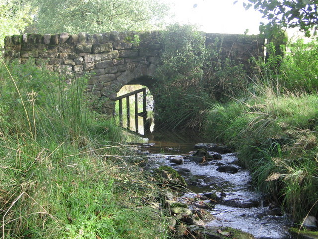
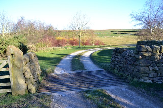
The woodland features well-maintained footpaths and trails, allowing visitors to explore and appreciate its tranquil surroundings. These paths wind through the trees, providing opportunities to admire the native flora and fauna. The wood is also home to a small stream that meanders through its heart, adding to its charm and providing a peaceful atmosphere.
Butlers' Wood is well-known for its historical significance as well. It is rumored to have been used as a hideout for local outlaws in the past, giving it a touch of mystery and intrigue. Today, it serves as a peaceful retreat for those seeking respite from the hustle and bustle of everyday life.
Visitors to Butlers' Wood can expect to be surrounded by the sights and sounds of nature. Whether it's a leisurely walk, a picnic, or simply enjoying the serenity of the woodland, this enchanting forest offers a peaceful and rejuvenating experience for all who venture within its borders.
If you have any feedback on the listing, please let us know in the comments section below.
Butlers' Wood Images
Images are sourced within 2km of 53.93304/-1.7552815 or Grid Reference SE1648. Thanks to Geograph Open Source API. All images are credited.


Butlers' Wood is located at Grid Ref: SE1648 (Lat: 53.93304, Lng: -1.7552815)
Division: West Riding
Administrative County: North Yorkshire
District: Harrogate
Police Authority: North Yorkshire
What 3 Words
///classmate.sunbeam.piglets. Near Burley in Wharfedale, West Yorkshire
Nearby Locations
Related Wikis

Askwith
Askwith is a village and civil parish in North Yorkshire, England, with a population of 220 (2001 census), increasing to 240 at the 2011 Census. The village...

Denton Hall, Wharfedale
Denton Hall is an English country house located to the north of the River Wharfe, at Denton, Borough of Harrogate, North Yorkshire, England between Otley...
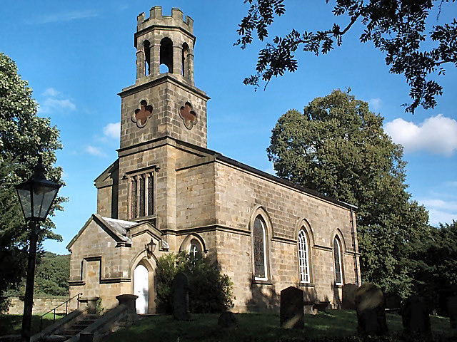
Church of St Helen, Denton
The Church of St Helen, Denton is a parish church in the hamlet of Denton, near Otley, in North Yorkshire, England. The church was built in 1776 by the...

Denton, North Yorkshire
Denton is a hamlet and civil parish in the Harrogate district of North Yorkshire, England. At the 2011 Census the population of this civil parish was less...

Ilkley Town A.F.C.
Ilkley Town Association Football Club is a football club based in Ilkley, England. They are currently members of the North West Counties League Division...

Burley in Wharfedale
Burley in Wharfedale is a village and civil parish in West Yorkshire, England, in the Wharfedale valley. In 2011, it had a population of 7,041. The village...
Weston, North Yorkshire
Weston is a village and civil parish in the former Harrogate district of North Yorkshire, England. The village is 1.2 miles (2 km) north–west of Otley...
Yorkshire Heritage Way
The Yorkshire Heritage Way is a 42-mile (68 km) footpath in northern England. It links the contrasting cities of Bradford in West Yorkshire and Ripon in...
Nearby Amenities
Located within 500m of 53.93304,-1.7552815Have you been to Butlers' Wood?
Leave your review of Butlers' Wood below (or comments, questions and feedback).