Askwith

Settlement in Yorkshire Harrogate

England

Askwith

Whin Hill Farm The entrance to the non-working farm. 
Mown paths through meadows and a lake provide the perfect hide-away!
Whin Hill Farm Credit: Clare Smith

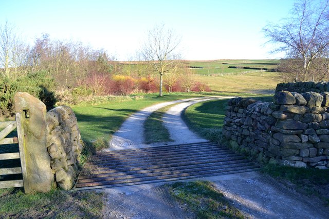
Askwith is a small village located in the county of Yorkshire, England. Situated in the Lower Wharfedale area, it lies approximately 10 miles northwest of the city of Leeds and 14 miles northeast of the town of Skipton. Nestled in the beautiful Yorkshire Dales National Park, Askwith enjoys picturesque surroundings and a peaceful rural atmosphere.

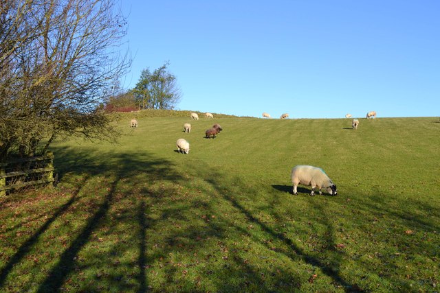
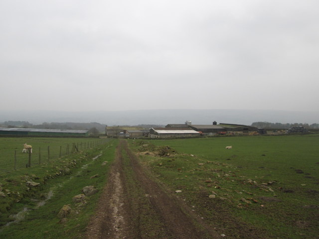
The village itself is characterized by its charming stone-built houses and traditional architecture, reflecting its rich history and heritage. It has a small population, with a close-knit community that contributes to its friendly and welcoming atmosphere. The local economy is primarily based on agriculture, with some residents also commuting to nearby towns and cities for work.

One of the notable landmarks in Askwith is the All Saints Church, a Grade II listed building dating back to the 12th century. This historic church adds to the village's cultural significance and is of architectural interest. The surrounding countryside offers numerous opportunities for outdoor activities, such as hiking, cycling, and exploring the nearby Nidderdale Area of Outstanding Natural Beauty.

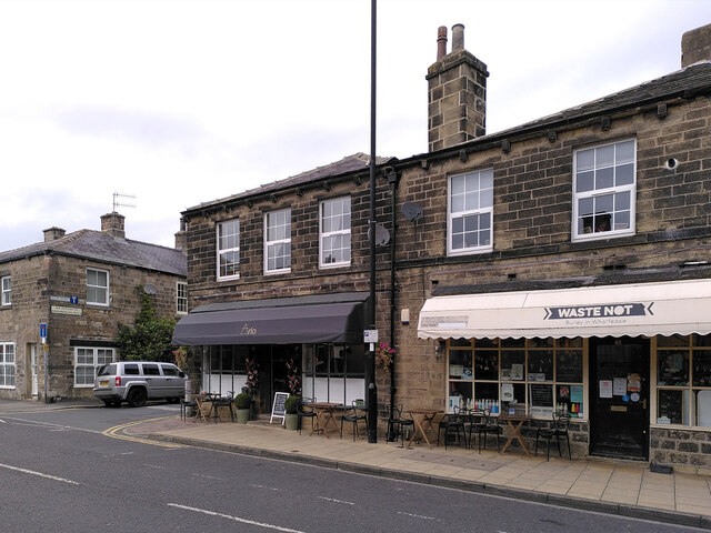
Although Askwith is a relatively small village, it benefits from its proximity to larger towns and cities, providing access to a range of amenities and services. The nearby town of Ilkley offers a wider selection of shops, restaurants, and entertainment options, while Leeds provides a diverse cultural and commercial hub.

Overall, Askwith is a tranquil village in Yorkshire, offering a peaceful and idyllic setting amidst the stunning natural beauty of the Yorkshire Dales. It is a place where residents and visitors can enjoy a slower pace of life, surrounded by picturesque landscapes and a strong sense of community.

If you have any feedback on the listing, please let us know in the comments section below.
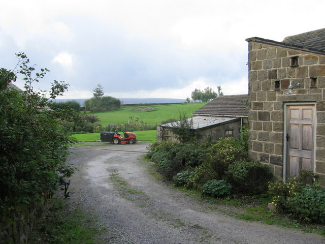
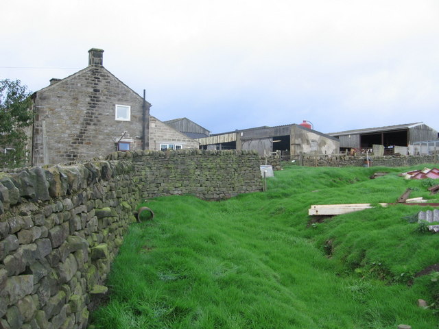
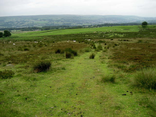
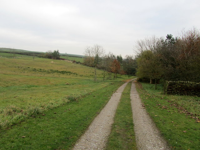
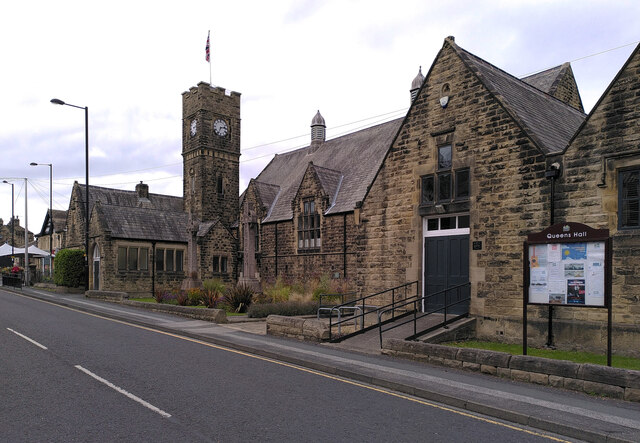
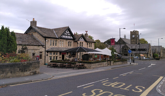
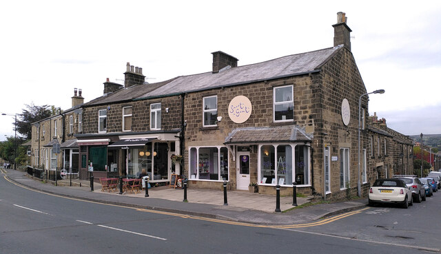
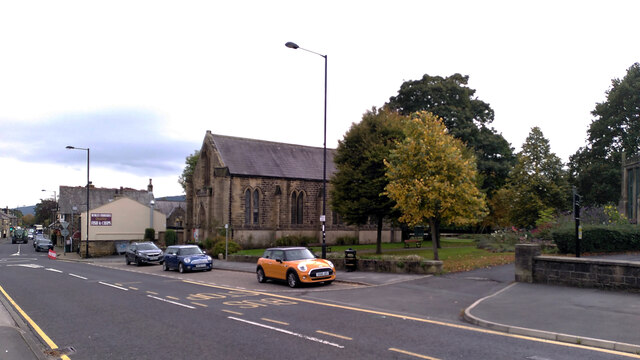
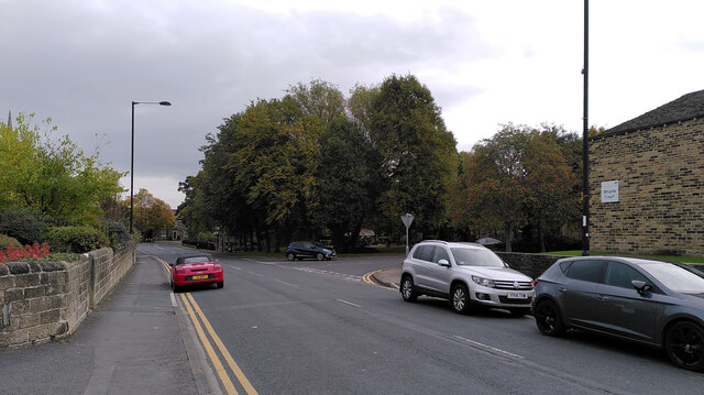
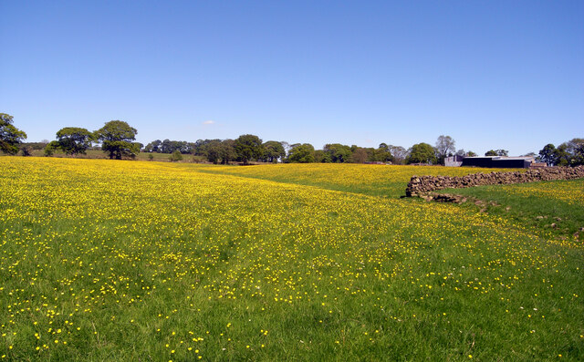
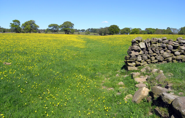
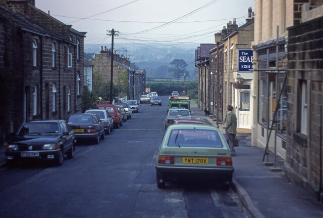
Askwith Images

Images are sourced within 2km of 53.930302/-1.743934 or Grid Reference SE1648. Thanks to Geograph Open Source API. All images are credited.

Whin Hill Farm The entrance to the non-working farm. 
Mown paths through meadows and a lake provide the perfect hide-away!
Whin Hill Farm
The entrance to the non-working farm. Mown paths through meadows and a lake provide the perfect hide-away!
Top Moorside Farm Very much a working farm, the far right hand building is in 
the square! The farmhouse to the left is in square 1649.
Top Moorside Farm
Very much a working farm, the far right hand building is in the square! The farmhouse to the left is in square 1649.
Stoop Hill Walking across a section of moorland from Askwith Moor Road towards Moorside Farm.
Stoop Hill
Walking across a section of moorland from Askwith Moor Road towards Moorside Farm.
Access to Whin Hill Farm Long access is required to reach here from the very narrow Hall Lane - from thence to the small village of Askwith
Access to Whin Hill Farm
Long access is required to reach here from the very narrow Hall Lane - from thence to the small village of Askwith
Track to Whin Hill Farm
Sheep in Field Near Whin Hill Farm, Askwith
Sheep in Field
Near Whin Hill Farm, Askwith
Approaching Top Moorside Farm from the north
Arl Cafe and Waste Not, Main Street, Burley-in-Wharfedale
Main Street, Burley-in-Wharfedale
Queen's Hall, Main Street, Burley-in-Wharfedale
The Red Lion, Main Street, Burley-in-Wharfedale
Main Street and Peel Place, Burley-in-Wharfedale
Salem United Reformed Church, Main Street, Burley-in-Wharfedale
MCC Autocentre and the Co-Op, Main Street, Burley-in-Wharfedale
Main Street, Burley-in-Wharfedale
Buttercups, Covey Hall Farm, Weston
Peel Place, Burley-in-Wharfedale
Show me another place!

Askwith is located at Grid Ref: SE1648 (Lat: 53.930302, Lng: -1.743934)

Division: West Riding

Administrative County: North Yorkshire

District: Harrogate

Police Authority: North Yorkshire

What 3 Words

///signed.disputes.footballers. Near Burley in Wharfedale, West Yorkshire

Nearby Locations

Butlers' Wood Askwith

Related Wikis

Askwith

Askwith is a village and civil parish in North Yorkshire, England, with a population of 220 (2001 census), increasing to 240 at the 2011 Census. The village...

Weston, North Yorkshire

Weston is a village and civil parish in the former Harrogate district of North Yorkshire, England. The village is 1.2 miles (2 km) north–west of Otley...

Weston Hall, Yorkshire

Weston Hall is a country house and Grade I listed building in Weston, North Yorkshire, England. == History and architecture == The house has been in the...

Burley in Wharfedale

Burley in Wharfedale is a village and civil parish in West Yorkshire, England, in the Wharfedale valley. In 2011, it had a population of 7,041. The village...

Nearby Amenities

Located within 500m of 53.930302,-1.743934
Askwith
Is In: UK, England, North Yorkshire, Wharfedale
Is In County: North Yorkshire
Is In Historic County: Yorkshire;West Yorkshire
Is In Municipality: Harrogate
Is In Valley: Wharfedale
Place: village
Population: 240
Wikidata: Q732333
Wikipedia: en:Askwith
Lat/Long: 53.9304395/-1.7426203
West Lane Askwith
Booth: K6
Covered: booth
Man Made: telephone_box
Removed Amenity: telephone
Removed Phone: +44 1943 461 152
Lat/Long: 53.9307255/-1.745143
Post Box
Collection Times: Mo-Fr 09:00; Sa 07:00
Operator: Royal Mail
Post Box Type: wall
Priority Covid19: yes
Ref: LS21 550
Royal Cypher: EIIR
Lat/Long: 53.9302452/-1.7439836
Location Transition: yes
Power: pole
Source: Bing
Lat/Long: 53.9315369/-1.743326
Power: pole
Source: Bing
Lat/Long: 53.932088/-1.743047
Power: pole
Source: Bing
Lat/Long: 53.9328823/-1.7424167
Material: wood
Power: pole
Source: Bing
Lat/Long: 53.933735/-1.7417757
Note: Gap in wall - not gate (as per survey 24.1.21)
Lat/Long: 53.9319812/-1.7413053
Barrier: stile
Material: wood
Stile: ladder
Lat/Long: 53.9298219/-1.7421534
Bench
Lat/Long: 53.931235/-1.7430268
Defibrillator
Defibrillator Location: outside Askwith Village Hall
Emergency: defibrillator
Indoor: no
Lat/Long: 53.9312205/-1.743086
Entrance: yes
Lat/Long: 53.9312019/-1.74311
old lime kiln
Archaeological Site: lime_kiln
Historic: archaeological_site
Input: limestone
Output: lime
Source: OS sheet 169, publ 1853
Lat/Long: 53.9325182/-1.7461169
old lime kiln
Archaeological Site: lime_kiln
Historic: archaeological_site
Input: limestone
Output: lime
Source: OS sheet 169, publ 1853
Lat/Long: 53.9324929/-1.7463744
Natural: spring
Source: NLS-OS-NatGrid-110k-1940-60
Lat/Long: 53.9344636/-1.7435033
old lime kiln
Archaeological Site: lime_kiln
Historic: archaeological_site
Input: limestone
Output: lime
Source: OS sheet 169, publ 1853
Lat/Long: 53.9327329/-1.748267
Natural: spring
Source: OS sheet 169, publ 1853
Lat/Long: 53.9322782/-1.7499836
Barrier: stile
Material: wood
Step Count: 2
Stile: stepover
Lat/Long: 53.9343472/-1.7424948
Barrier: stile
Material: wood
Stile: stepover
Lat/Long: 53.9333435/-1.7404312
Information: guidepost
Tourism: information
Lat/Long: 53.9298064/-1.7421613
Barrier: cattle_grid
Lat/Long: 53.9300299/-1.7434641
Bench
Backrest: yes
Historic: memorial
Inscription: Askwith & District Village Hall Commemorate 50 Years of Peace 1945-1995
Material: wood;metal
Memorial: plaque
Lat/Long: 53.9307228/-1.7451876
Advertising: board
Lit: no
Operator: Askwith Parish Council
Support: wall_mounted
Lat/Long: 53.9302507/-1.7439966
Barrier: cattle_grid
Lat/Long: 53.9313163/-1.7445805
Power: pole
Lat/Long: 53.9281279/-1.7489811
Power: pole
Lat/Long: 53.9283242/-1.7501031
Power: pole
Lat/Long: 53.9287918/-1.7481603
Power: pole
Lat/Long: 53.9277316/-1.7433237
Power: pole
Lat/Long: 53.9279658/-1.7423878
Power: pole
Source: Bing
Lat/Long: 53.929367/-1.7474445
Designation: public_bridleway
Information: route_marker
Tourism: information
Lat/Long: 53.9288541/-1.7467524
The data included in this document is from www.openstreetmap.org. The data is made available under ODbL.

Have you been to Askwith?

Leave your review of Askwith below (or comments, questions and feedback).