Aslackby

Settlement in Lincolnshire South Kesteven

England

Aslackby

Sovereign Street crossing Pointon Lode into Aslackby
Sovereign Street crossing Pointon Lode into Aslackby Credit: Tim Heaton

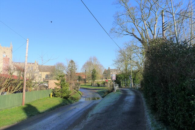
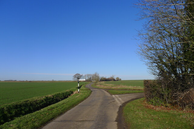
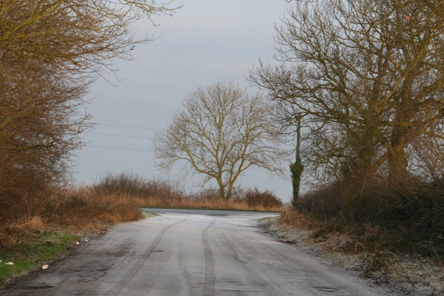
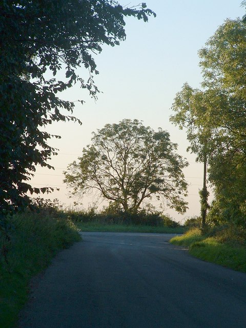
Aslackby is a small village located in the South Kesteven district of Lincolnshire, England. Situated approximately 8 miles east of the market town of Grantham, Aslackby has a population of around 250 residents. The village is known for its picturesque rural setting, with rolling farmlands and tranquil countryside.

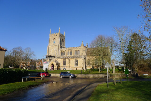
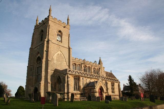
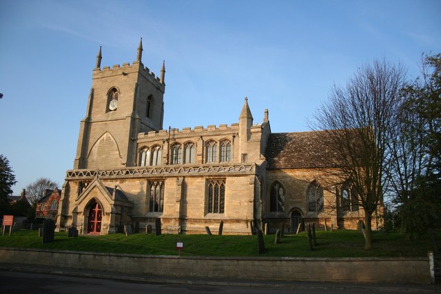
Historically, Aslackby has roots dating back to the medieval era, and evidence of its past can be seen in the architecture of the village. The St James' Church, a Grade I listed building, is a prominent feature and dates back to the 13th century. The church's beautiful stained glass windows and intricate stonework make it a popular destination for visitors.

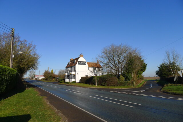
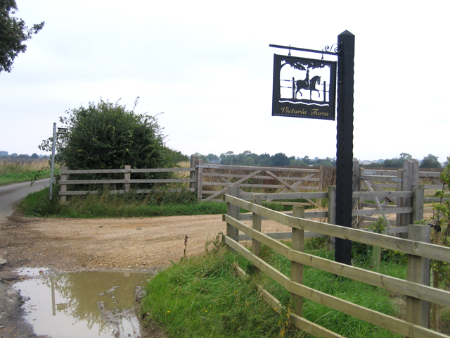
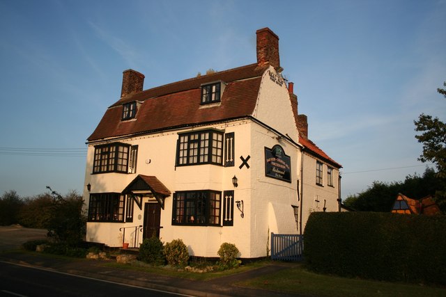
Despite its small size, Aslackby has a strong sense of community. The village has a village hall which hosts various activities and events, providing a hub for social gatherings. The local pub, The Finch Hatton Arms, is a popular spot for residents and visitors alike, offering a selection of beverages and traditional pub meals.

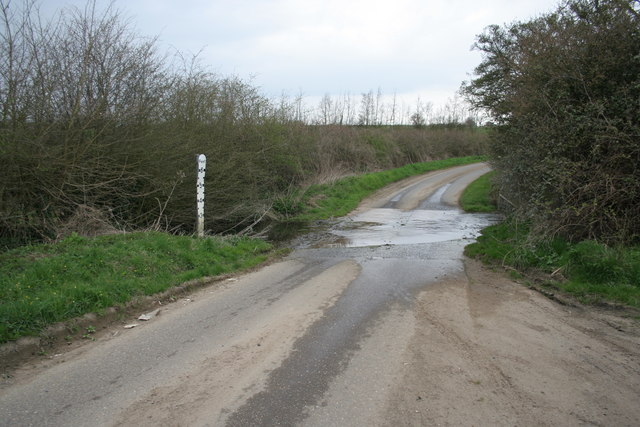
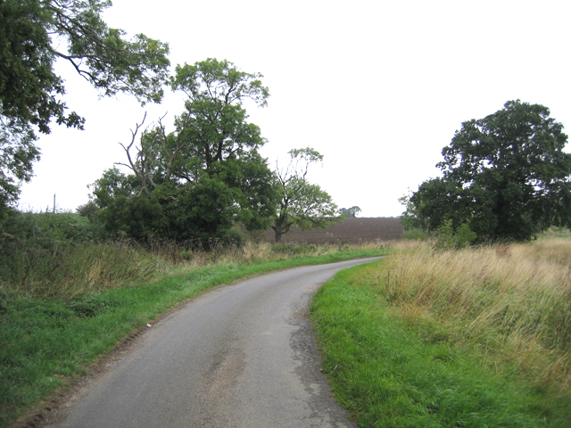
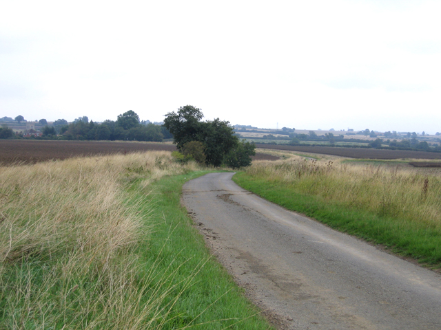
Surrounded by idyllic countryside, Aslackby offers plenty of opportunities for outdoor activities. The village is surrounded by footpaths and bridleways, making it a haven for walkers and cyclists. The nearby Aslackby and Laughton Hills Nature Reserve is home to a variety of wildlife and offers stunning views over the surrounding landscape.

In conclusion, Aslackby is a charming village in Lincolnshire, known for its rich history, beautiful church, and close-knit community. With its rural setting and outdoor recreational opportunities, it provides a peaceful and picturesque retreat for residents and visitors alike.

If you have any feedback on the listing, please let us know in the comments section below.
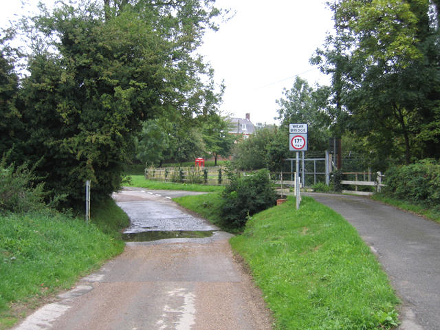
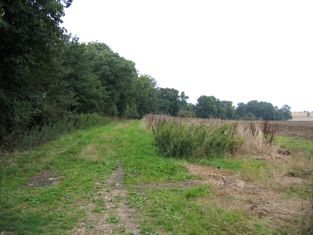
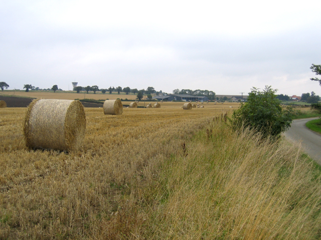
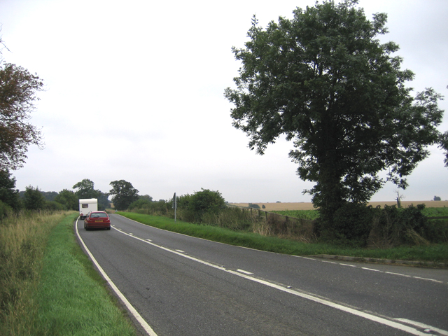
Aslackby Images

Images are sourced within 2km of 52.859937/-0.39048368 or Grid Reference TF0830. Thanks to Geograph Open Source API. All images are credited.

Sovereign Street crossing Pointon Lode into Aslackby
Church of St James, Aslackby Listed Grade I, from the 13th century <span class="nowrap"><a title="https://www.robschurches.com/aslackby" rel="nofollow ugc noopener" href="https://www.robschurches.com/aslackby">Link</a><img style="margin-left:2px;" alt="External link" title="External link - shift click to open in new window" src="https://s1.geograph.org.uk/img/external.png" width="10" height="10"/></span>
Church of St James, Aslackby
Listed Grade I, from the 13th century LinkExternal link
Moorfield House, Aslackby Late 18th to mid 19th century farmhouse <span class="nowrap"><a title="https://historicengland.org.uk/listing/the-list/list-entry/1317654?section=official-list-entry" rel="nofollow ugc noopener" href="https://historicengland.org.uk/listing/the-list/list-entry/1317654?section=official-list-entry">Link</a><img style="margin-left:2px;" alt="External link" title="External link - shift click to open in new window" src="https://s1.geograph.org.uk/img/external.png" width="10" height="10"/></span>
Moorfield House, Aslackby
Late 18th to mid 19th century farmhouse LinkExternal link
The A15 passing the Robin Hood and Little John Popular pub restaurant, and a great pint of Black Sheep. <span class="nowrap"><a title="https://heritage-explorer.lincolnshire.gov.uk/Monument/MLI121668" rel="nofollow ugc noopener" href="https://heritage-explorer.lincolnshire.gov.uk/Monument/MLI121668">Link</a><img style="margin-left:2px;" alt="External link" title="External link - shift click to open in new window" src="https://s1.geograph.org.uk/img/external.png" width="10" height="10"/></span> describes it as an 19th century farmhouse
The A15 passing the Robin Hood and Little John
Popular pub restaurant, and a great pint of Black Sheep. LinkExternal link describes it as an 19th century farmhouse
Mareham Lane (Roman road) north of Graby The modern Mareham Lane runs from near Graby, Lincolnshire, due north for about 10.5 miles to Sleaford. Much of its length follows the route of a Roman road, Margary number 260, which ran for about 16 miles from Bourne to Sleaford (Margary, I.D., 1955. Roman roads in Britain, volume 1)
Mareham Lane (Roman road) north of Graby
The modern Mareham Lane runs from near Graby, Lincolnshire, due north for about 10.5 miles to Sleaford. Much of its length follows the route of a Roman road, Margary number 260, which ran for about 16 miles from Bourne to Sleaford (Margary, I.D., 1955. Roman roads in Britain, volume 1)
St.James' church, Aslackby, Lincs. The village name is pronounced 'Ayzelbee' and there was a Preceptory of the Knights Templar founded here in 1154, but nothing remains. St.James church has a Victorian chancel of 1856 and a Perpendicular clerestory on a 14th century Decorated nave.
St.James' church, Aslackby, Lincs.
The village name is pronounced 'Ayzelbee' and there was a Preceptory of the Knights Templar founded here in 1154, but nothing remains. St.James church has a Victorian chancel of 1856 and a Perpendicular clerestory on a 14th century Decorated nave.
The Tree This tree is on the A15. It is south of the Graby turn off and the photo was taken from a layby to the east of the A15. This layby was in part on the old Roman Road.
The Tree
This tree is on the A15. It is south of the Graby turn off and the photo was taken from a layby to the east of the A15. This layby was in part on the old Roman Road.
The tree in Autumn One of a series of pictures of this tree over the years
The tree in Autumn
One of a series of pictures of this tree over the years
Ford between Graby and Aslackby
Farm entrance, Aslackby, Lincs with sign for Victoria Farm.
Farm entrance, Aslackby, Lincs
with sign for Victoria Farm.
Country lane, Aslackby, Lincs
Country lane, Aslackby, Lincs looking NNE towards the village.
Country lane, Aslackby, Lincs
looking NNE towards the village.
Ford in Aslackby village, Lincs
Greenfields Lane, Laughton, Lincs a public access route north to Folkingham.
Greenfields Lane, Laughton, Lincs
a public access route north to Folkingham.
Bales of wheat straw, Laughton, Lincs
The A15 road at Laughton, Lincs the main road from Sleaford to Bourne.
The A15 road at Laughton, Lincs
the main road from Sleaford to Bourne.
Robin Hood and Little John Historic, early 19th century coaching inn at Aslackby called the Robin Hood and Little John.

All you men who think it good
Come have a drink with Robin Hood
If Robin Hood abroad has gone
Then have a drink with Little John
Robin Hood and Little John
Historic, early 19th century coaching inn at Aslackby called the Robin Hood and Little John. All you men who think it good Come have a drink with Robin Hood If Robin Hood abroad has gone Then have a drink with Little John
St.James' church
St.James' church
Show me another place!

Aslackby is located at Grid Ref: TF0830 (Lat: 52.859937, Lng: -0.39048368)

Division: Parts of Kesteven

Administrative County: Lincolnshire

District: South Kesteven

Police Authority: Lincolnshire

What 3 Words

///hence.ruin.badly. Near Billingborough, Lincolnshire

Nearby Locations

Aslackby

Related Wikis

St James' Church, Aslackby

St James the Great Church is a Grade I listed Church of England parish church dedicated to James, son of Zebedee in Aslackby, Lincolnshire, England. The...

Aslackby Preceptory

Aslackby Preceptory in Lincolnshire lay to the south-east of Aslackby Church. Until about 1891 a tower, possibly of the preceptory church, together with...

Aslackby and Laughton

Aslackby and Laughton is a civil parish in the South Kesteven district of Lincolnshire, England. According to the 2001 census the parish had a population...

Aveland

Aveland was a Wapentake of Kesteven from the time of the Danelaw until the Local Government Act 1888. Its meeting place was The Aveland at grid reference...

Related Videos

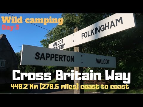
Day 3 Macmillan Cross Britain Way Impassable Right of way Sempringham Folkingham Prison Wild camping

Filmed on the 17/08/2017 since then my video skills and equipment has improved alot :) I ended up camping in a fenced of area at ...

Nearby Amenities

Located within 500m of 52.859937,-0.39048368
Aslackby
Is In: Lincolnshire, England, UK
Place: village
Lat/Long: 52.8599151/-0.3907678
Bus Stop
Robin Hood PH
Bus: yes
Naptan AtcoCode: 270000008947
Naptan Bearing: N
Naptan CommonName: Robin Hood PH
Naptan Indicator: opp
Naptan Landmark: Robin Hood PH
Naptan NaptanCode: lingwjgm
Naptan Street: A15
Naptan Verified: no
Public Transport: platform
Source: naptan_import
Lat/Long: 52.8610361/-0.3853293
Bus Stop
St James Church
Bus: yes
Naptan AtcoCode: 2700LAC06109
Naptan Bearing: E
Naptan CommonName: St James Church
Naptan Indicator: adj
Naptan Landmark: St James Church
Naptan NaptanCode: lingamdg
Naptan Street: Temple Road
Naptan Verified: no
Public Transport: platform
Source: naptan_import
Lat/Long: 52.8599047/-0.3889908
Bus Stop
Robin Hood PH
Bus: yes
Naptan AtcoCode: 2700LARH4738
Naptan Bearing: S
Naptan CommonName: Robin Hood PH
Naptan Indicator: adj
Naptan Landmark: Robin Hood PH
Naptan NaptanCode: lindmtmj
Naptan Street: A15
Naptan Verified: no
Public Transport: platform
Source: naptan_import
Lat/Long: 52.8610518/-0.3851653
Manor Farm
Place: farm
Source: Bing
Lat/Long: 52.860875/-0.3845537
Moorfield House Farm
Place: farm
Source: Bing
Lat/Long: 52.8606564/-0.3881952
Temple Farm
Place: farm
Source: Bing
Lat/Long: 52.8595003/-0.3872497
Aslaackby Castle
Archaeological Site: fortification
Historic: archaeological_site
Source: Bing
Wikidata: Q2985801
Wikipedia: en:Aslackby Preceptory
Lat/Long: 52.8612603/-0.3893978
Description: Preceptory of Knight's Templars
Historic: archaeological_site
Source: Bing
Lat/Long: 52.8593199/-0.3871977
Telephone
Booth: K6
Covered: booth
Listed Status: Grade II
Operator: BT
Operator Wikidata: Q593786
Phone: +44 1778 440600
Lat/Long: 52.8598433/-0.3887269
Bench
Lat/Long: 52.8598214/-0.388861
Community Centre
Aslackby Village Hall
Community Centre: village_hall
Lat/Long: 52.8624699/-0.3856628
Pub
Robin Hood & Little John
Addr City: Aslackby
Addr Housename: The Robin Hood
Addr Postcode: NG34 0HL
Fhrs Authority: South Kesteven
Fhrs Id: 238724
Fhrs Local Authority Id: 3730
Lat/Long: 52.8614595/-0.385192
The data included in this document is from www.openstreetmap.org. The data is made available under ODbL.

Have you been to Aslackby?

Leave your review of Aslackby below (or comments, questions and feedback).