Northwick Park

Downs, Moorland in Gloucestershire Cotswold

England

Northwick Park

Northcot Bricks Limited The Northcot Brick works are beside the Worcester to Oxford Railway and Station Road between Blockley and Paxford,
Northcot Bricks Limited Credit: Philip Halling

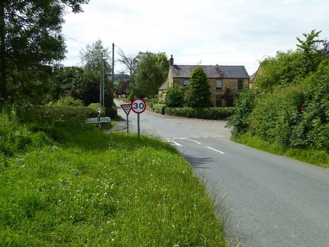
Northwick Park is a picturesque area located in Gloucestershire, England. It is characterized by its stunning natural landscape, encompassing both downs and moorland. Spanning over a vast area, Northwick Park is a haven for nature lovers and outdoor enthusiasts.

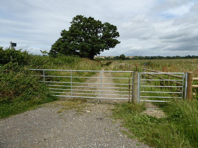
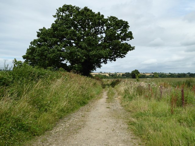
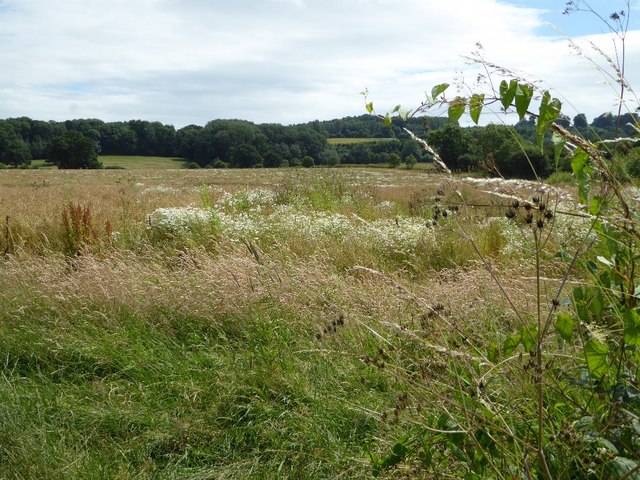
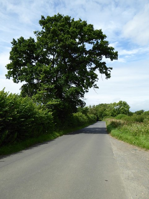
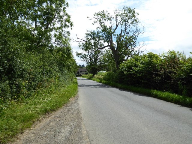
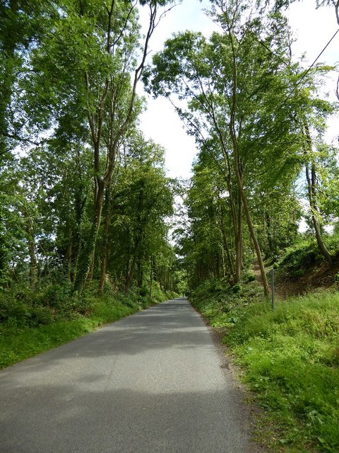
The downs in Northwick Park offer breathtaking views of the surrounding countryside. With rolling hills covered in lush green grass, it is an ideal spot for hiking, picnicking, and enjoying the serenity of the outdoors. The downs also provide a habitat for a diverse range of wildlife, making it a popular destination for birdwatchers and nature photographers.

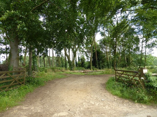
Adjacent to the downs, the moorland in Northwick Park offers a contrasting landscape. It is characterized by its low-lying vegetation, including heather, gorse, and bracken. Moorland walks are a popular activity in this area, allowing visitors to immerse themselves in the unique flora and fauna that thrive in this habitat.

Northwick Park is also home to a variety of historical landmarks. The park's rich heritage can be explored through the remnants of ancient settlements, burial mounds, and prehistoric monuments. These archaeological sites add an extra layer of intrigue and fascination to the park's natural beauty.

Overall, Northwick Park in Gloucestershire is a treasure trove for those seeking tranquility and a connection with nature. Its downs and moorland, along with its rich history, make it an enticing destination for visitors of all ages. Whether one is looking for a leisurely walk, a chance to observe wildlife, or a glimpse into the past, Northwick Park offers an array of opportunities to explore and appreciate the beauty of the Gloucestershire countryside.

If you have any feedback on the listing, please let us know in the comments section below.

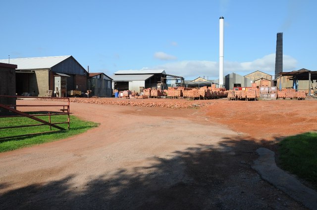
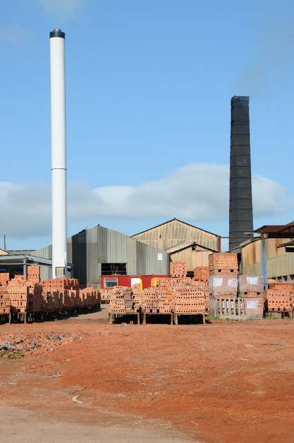
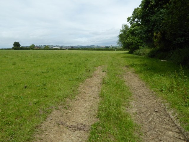
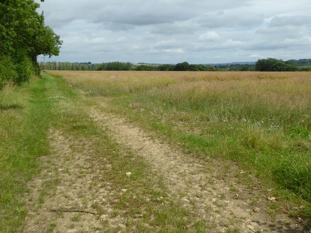
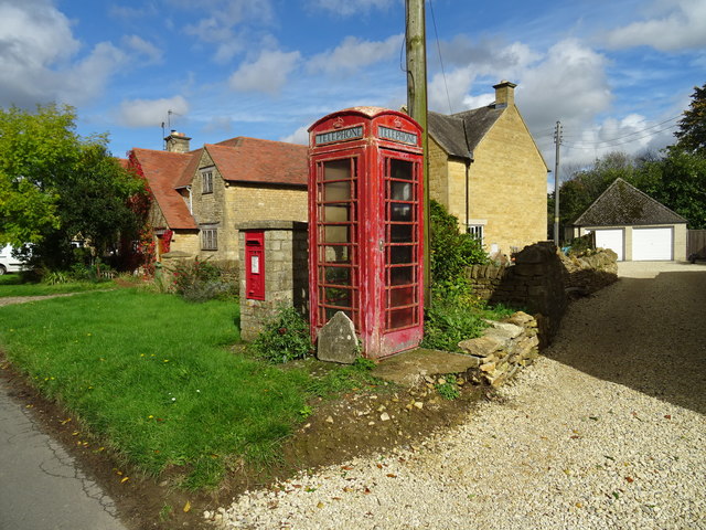
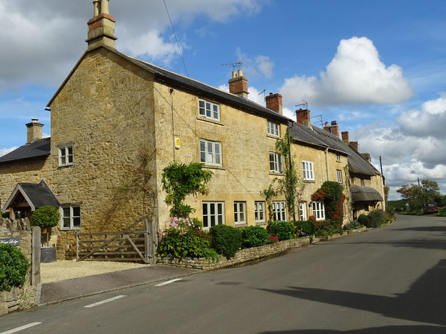
Northwick Park Images

Images are sourced within 2km of 52.030833/-1.7557747 or Grid Reference SP1636. Thanks to Geograph Open Source API. All images are credited.

Northcot Bricks Limited The Northcot Brick works are beside the Worcester to Oxford Railway and Station Road between Blockley and Paxford,
Northcot Bricks Limited
The Northcot Brick works are beside the Worcester to Oxford Railway and Station Road between Blockley and Paxford,
Chimneys at Northcot Brick Works, Chimneys at Northcot Brick Works viewed from Station Road between Blockley and Paxford.
Chimneys at Northcot Brick Works,
Chimneys at Northcot Brick Works viewed from Station Road between Blockley and Paxford.
Field near Grey stone Farm A bridleway follows the hedgerow to the right of this field near GreyStone Farm which can be seen by the hedge to the left.
Field near Grey stone Farm
A bridleway follows the hedgerow to the right of this field near GreyStone Farm which can be seen by the hedge to the left.
Headland track near Wellacres Farm Headland track near Wellacres Farm to the north of the village of Draycott.
Headland track near Wellacres Farm
Headland track near Wellacres Farm to the north of the village of Draycott.
Entrance to Northwick Business Centre Entrance to Northwick Business Centre near the village of Draycott.
Entrance to Northwick Business Centre
Entrance to Northwick Business Centre near the village of Draycott.
Gate and track Gateway and track to farmland near the village of Draycott.  This is also the route of a bridleway.
Gate and track
Gateway and track to farmland near the village of Draycott. This is also the route of a bridleway.
Farmland track Farmland track and bridleway near Draycott.
Farmland track
Farmland track and bridleway near Draycott.
Farmland at Draycott Difficult to identify the crop being grown here in this field on the edge of the village of Drayton.
Farmland at Draycott
Difficult to identify the crop being grown here in this field on the edge of the village of Drayton.
Crossroads in Draycott
Oak tree beside the road An oak tree in the hedgerow beside a country road near Draycott.
Oak tree beside the road
An oak tree in the hedgerow beside a country road near Draycott.
Road approaching Draycott
Woodland belt at Northwick Park Entrance to a woodland belt beside a country road passing Northwick Park, near Blockley.
Woodland belt at Northwick Park
Entrance to a woodland belt beside a country road passing Northwick Park, near Blockley.
Road passing through Beech Plantation Road passing through Beech Plantation in Northwick Park.
Road passing through Beech Plantation
Road passing through Beech Plantation in Northwick Park.
The reason for 'Doing Posh' The dedication plaque for the village bus shelter.
The Coronation of Queen Elizabeth II.
The reason for 'Doing Posh'
The dedication plaque for the village bus shelter. The Coronation of Queen Elizabeth II.
Blockley does posh Whilst the camera does not capture the warmth of the Cotswold stone.
This is one well kept and crafted bus shelter.
It is over 60 years old and commemorates Queen Elizabeth II Coronation.
<a href="https://www.geograph.org.uk/photo/5308627">SP1635 : The reason for 'Doing Posh'</a> has a photo of the plaque.
Blockley does posh
Whilst the camera does not capture the warmth of the Cotswold stone. This is one well kept and crafted bus shelter. It is over 60 years old and commemorates Queen Elizabeth II Coronation. SP1635 : The reason for 'Doing Posh' has a photo of the plaque.
Green in Winter A rather grand conifer in Lower Street.
Green in Winter
A rather grand conifer in Lower Street.
Communication facilities in Broad Campden The phone box is 'Out of order' since the phone has been removed. All of the rural village phones in the area seem to have been removed.
Communication facilities in Broad Campden
The phone box is 'Out of order' since the phone has been removed. All of the rural village phones in the area seem to have been removed.
Houses in Broad Campden
Show me another place!

Northwick Park is located at Grid Ref: SP1636 (Lat: 52.030833, Lng: -1.7557747)

Administrative County: Gloucestershire

District: Cotswold

Police Authority: Gloucestershire

What 3 Words

///creatures.abandons.homelands. Near Blockley, Gloucestershire

Related Wikis

Northwick Park, Gloucestershire

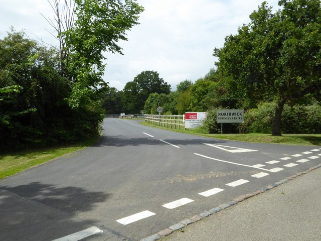
Northwick Park is a residential estate and business centre near Blockley in Gloucestershire, England. The estate is built in the grounds of the former...

Wellacre Quarry

Wellacre Quarry (grid reference SP180370) is a 12.3 hectare geological Site of Special Scientific Interest in Gloucestershire, notified in 1974. It is...

Blockley railway station

Blockley railway station served the village of Blockley, Gloucestershire, England from 1853 to 1966 on the Oxford, Worcester and Wolverhampton Railway...

Broad Campden

Broad Campden is a small village in Gloucestershire, England, with a church and pub, and notable for its beauty and fine walking trails. == History... ==

Draycott, Gloucestershire

Draycott is a small hamlet in north Gloucestershire between Moreton-in-Marsh and Blockley, within Blockley civil parish. It is not mentioned in Domesday...
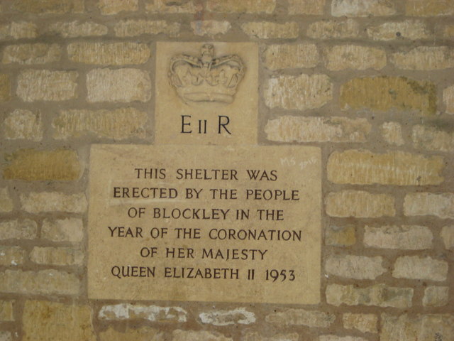
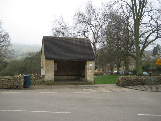
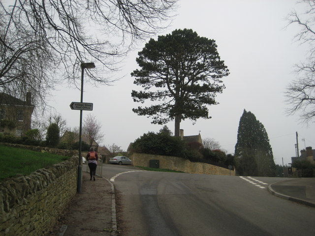
Blockley

Blockley is a village, civil parish and ecclesiastical parish in the Cotswold district of Gloucestershire, England, about 3 miles (5 km) northwest of Moreton...

Chipping Campden railway station

Chipping Campden, or for most of its existence simply Campden, is a closed railway station on the Cotswold Line, which served the town of Chipping Campden...

Fruit and Vegetable Preservation Research Station

The Fruit and Vegetable Preservation Research Station (FVPRS) was a former British government research institute, now a private research company, that...

Related Videos

A Bright & Breezy Morning walk in a Sublime Cotswold Village

So, today we are out and about walking in the Cotswold village of Broad Campden which is located about halfway between ...

Village & Country Road Ambience Early Morning Walk

Out and about Walking in Blockley Blockley is a sizeable Cotswold village situated about 3 miles northwest of Moreton-in-Marsh.

Father Brown & Blockley – Pretty Cotswold Village #cotswolds

If you love the Father Brown mystery series, you should enjoy this visit to the real life Kembleford… the beautiful Cotswold village ...

Nearby Amenities

Located within 500m of 52.030833,-1.7557747
Bus Stop
Northwick Park Business Centre
Bus: yes
Naptan AtcoCode: 1600GLC577
Naptan Bearing: NW
Naptan CommonName: Northwick Park Business Centre
Naptan NaptanCode: glogjadt
Naptan Street: Northwick Park
Naptan Verified: no
Public Transport: platform
Source: naptan_import
Lat/Long: 52.0314516/-1.7519039
Bus Stop
Northwick Park Business Centre
Bus: yes
Naptan AtcoCode: 1600GLC578
Naptan Bearing: SE
Naptan CommonName: Northwick Park Business Centre
Naptan Indicator: Opp
Naptan NaptanCode: glogjadw
Naptan Street: Northwick Park
Naptan Verified: no
Public Transport: platform
Source: naptan_import
Lat/Long: 52.0314875/-1.75186
Power: pole
Lat/Long: 52.0334153/-1.7500837
Power: pole
Lat/Long: 52.0326414/-1.7499992
Power: pole
Lat/Long: 52.0315968/-1.7497672
Power: pole
Lat/Long: 52.0307032/-1.7495137
Northwick Mansions
Power: pole
Transformer: distribution
Voltage Primary: 11000
Lat/Long: 52.0273301/-1.7570534
Power: pole
Lat/Long: 52.0296739/-1.7512961
Power: pole
Lat/Long: 52.0299516/-1.7493153
Power: pole
Lat/Long: 52.0297998/-1.7503573
Power: pole
Lat/Long: 52.0296133/-1.7521423
Location Transition: yes
Power: pole
Lat/Long: 52.0295419/-1.7529704
Northwick Park Business Centre
Power: transformer
Transformer: distribution
Voltage Primary: 11000
Lat/Long: 52.0294264/-1.7537308
Location Transition: yes
Power: pole
Lat/Long: 52.0295295/-1.7538046
Power: pole
Lat/Long: 52.0297593/-1.7543659
Power: pole
Lat/Long: 52.0296356/-1.755076
Power: pole
Lat/Long: 52.0295213/-1.7557197
Power: pole
Lat/Long: 52.0293744/-1.7565981
Power: pole
Lat/Long: 52.0291475/-1.7570152
Northwick Park Business Centre West
Power: pole
Transformer: distribution
Voltage Primary: 11000
Lat/Long: 52.0288971/-1.7574745
The data included in this document is from www.openstreetmap.org. The data is made available under ODbL.

Have you been to Northwick Park?

Leave your review of Northwick Park below (or comments, questions and feedback).