Caroline Plantation

Wood, Forest in Gloucestershire Cotswold

England

Caroline Plantation

Road to Blockley Greenway Road leads down into Blockley.
Road to Blockley Credit: Clint Mann

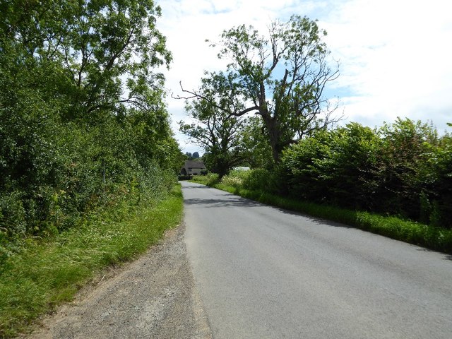
Caroline Plantation is a picturesque woodland area located in Gloucestershire, England. Situated within the larger Forest of Dean, this plantation covers an extensive area and is renowned for its natural beauty and diverse ecosystem.

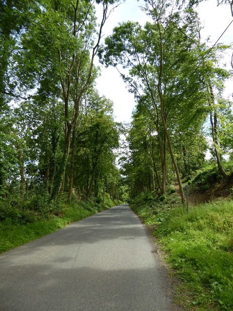
The woodland is predominantly composed of various species of trees, including oak, beech, and ash, which create a dense canopy that provides shade and shelter for numerous wildlife species. The forest floor is adorned with a rich carpet of ferns, wildflowers, and mosses, adding to the enchanting atmosphere of the plantation.

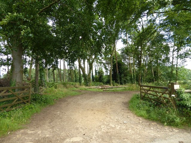
Caroline Plantation offers a tranquil escape for nature lovers and outdoor enthusiasts. It boasts a network of well-maintained trails that wind through the forest, allowing visitors to explore its hidden gems. These pathways are suitable for both leisurely strolls and more adventurous hikes, offering something for everyone.

The plantation is home to a wide range of wildlife, including deer, foxes, badgers, and a variety of bird species. Birdwatchers will delight in the opportunity to spot rare and migratory birds that call this woodland their temporary or permanent home.

Caroline Plantation is also known for its historical significance. The area has a rich heritage, with remnants of ancient settlements and old mining activities still visible today. It offers a glimpse into the region's past and provides a unique educational experience for visitors interested in local history.

Overall, Caroline Plantation in Gloucestershire is a captivating woodland retreat that combines natural beauty, recreational opportunities, and historical significance. It is a haven for wildlife, a sanctuary for nature enthusiasts, and a place where visitors can immerse themselves in the peacefulness of the forest.

If you have any feedback on the listing, please let us know in the comments section below.

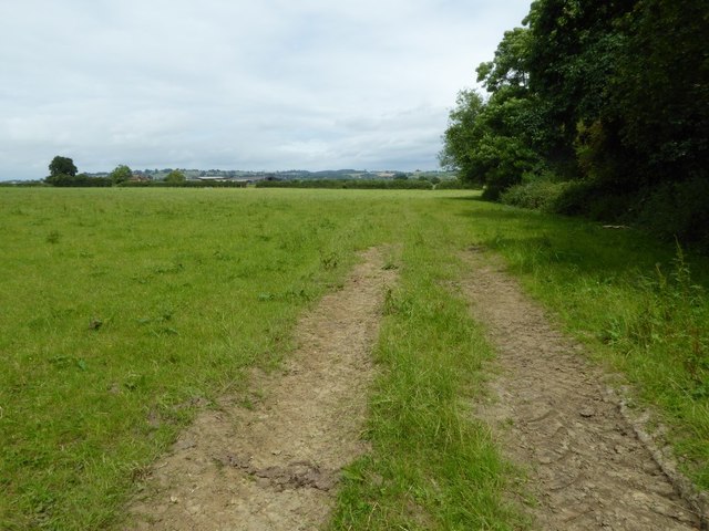
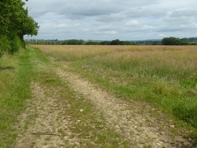
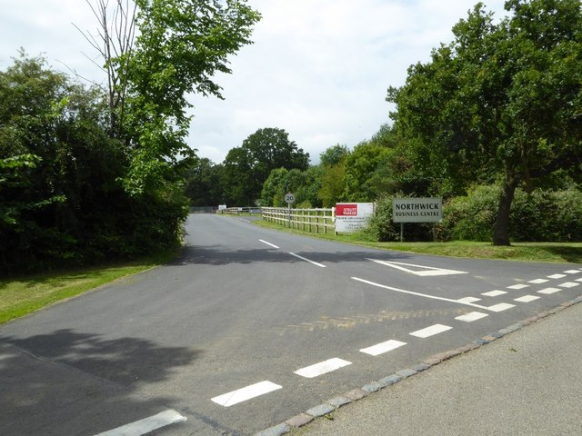
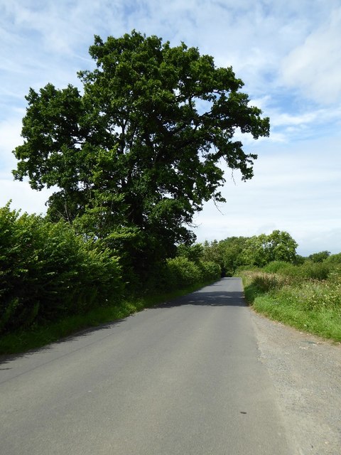
Caroline Plantation Images

Images are sourced within 2km of 52.025602/-1.7652329 or Grid Reference SP1636. Thanks to Geograph Open Source API. All images are credited.

Road to Blockley Greenway Road leads down into Blockley.
Road to Blockley
Greenway Road leads down into Blockley.
Field near Grey stone Farm A bridleway follows the hedgerow to the right of this field near GreyStone Farm which can be seen by the hedge to the left.
Field near Grey stone Farm
A bridleway follows the hedgerow to the right of this field near GreyStone Farm which can be seen by the hedge to the left.
Headland track near Wellacres Farm Headland track near Wellacres Farm to the north of the village of Draycott.
Headland track near Wellacres Farm
Headland track near Wellacres Farm to the north of the village of Draycott.
Entrance to Northwick Business Centre Entrance to Northwick Business Centre near the village of Draycott.
Entrance to Northwick Business Centre
Entrance to Northwick Business Centre near the village of Draycott.
Oak tree beside the road An oak tree in the hedgerow beside a country road near Draycott.
Oak tree beside the road
An oak tree in the hedgerow beside a country road near Draycott.
Road approaching Draycott
Woodland belt at Northwick Park Entrance to a woodland belt beside a country road passing Northwick Park, near Blockley.
Woodland belt at Northwick Park
Entrance to a woodland belt beside a country road passing Northwick Park, near Blockley.
Road passing through Beech Plantation Road passing through Beech Plantation in Northwick Park.
Road passing through Beech Plantation
Road passing through Beech Plantation in Northwick Park.
Farmland above Chipping Campden
The reason for 'Doing Posh' The dedication plaque for the village bus shelter.
The Coronation of Queen Elizabeth II.
The reason for 'Doing Posh'
The dedication plaque for the village bus shelter. The Coronation of Queen Elizabeth II.
Blockley does posh Whilst the camera does not capture the warmth of the Cotswold stone.
This is one well kept and crafted bus shelter.
It is over 60 years old and commemorates Queen Elizabeth II Coronation.
<a href="https://www.geograph.org.uk/photo/5308627">SP1635 : The reason for 'Doing Posh'</a> has a photo of the plaque.
Blockley does posh
Whilst the camera does not capture the warmth of the Cotswold stone. This is one well kept and crafted bus shelter. It is over 60 years old and commemorates Queen Elizabeth II Coronation. SP1635 : The reason for 'Doing Posh' has a photo of the plaque.
Green in Winter A rather grand conifer in Lower Street.
Green in Winter
A rather grand conifer in Lower Street.
I have a question Are the railings to keep us out or them in?
Quite a number of tombs in this church yard have railings around them.
One would speculate that these are post WWII.
The tomb in front is a bale reflecting the wool trade of the past.
I have a question
Are the railings to keep us out or them in? Quite a number of tombs in this church yard have railings around them. One would speculate that these are post WWII. The tomb in front is a bale reflecting the wool trade of the past.
We are but mortal Not a tribute to a chapter of Hell's Angels. 
But a grim reminder from the stonemason that we are all mortal.
We are but mortal
Not a tribute to a chapter of Hell's Angels. But a grim reminder from the stonemason that we are all mortal.
High Street Looking along High Street.  In the left centre of the photo is Bankside, a building of 17th Century origins remodelled in around 1800.  Grade II listed - see <span class="nowrap"><a title="www.historicengland.org.uk/listing/the-list/list-entry/1304362" rel="nofollow ugc noopener" href="http://www.historicengland.org.uk/listing/the-list/list-entry/1304362">Link</a><img style="margin-left:2px;" alt="External link" title="External link - shift click to open in new window" src="https://s1.geograph.org.uk/img/external.png" width="10" height="10"/></span>.
High Street
Looking along High Street. In the left centre of the photo is Bankside, a building of 17th Century origins remodelled in around 1800. Grade II listed - see LinkExternal link.
High Street Looking along High Street.  The house on the left of the photo is Bankside, a building of 17th Century origins remodelled in around 1800.  Grade II listed - see <span class="nowrap"><a title="www.historicengland.org.uk/listing/the-list/list-entry/1304362" rel="nofollow ugc noopener" href="http://www.historicengland.org.uk/listing/the-list/list-entry/1304362">Link</a><img style="margin-left:2px;" alt="External link" title="External link - shift click to open in new window" src="https://s1.geograph.org.uk/img/external.png" width="10" height="10"/></span>.
High Street
Looking along High Street. The house on the left of the photo is Bankside, a building of 17th Century origins remodelled in around 1800. Grade II listed - see LinkExternal link.
High Street Looking along High Street.  The house in the left centre of the photo is Bankside, a building of 17th Century origins remodelled in around 1800.  Grade II listed - see <span class="nowrap"><a title="www.historicengland.org.uk/listing/the-list/list-entry/1304362" rel="nofollow ugc noopener" href="http://www.historicengland.org.uk/listing/the-list/list-entry/1304362">Link</a><img style="margin-left:2px;" alt="External link" title="External link - shift click to open in new window" src="https://s1.geograph.org.uk/img/external.png" width="10" height="10"/></span>.
High Street
Looking along High Street. The house in the left centre of the photo is Bankside, a building of 17th Century origins remodelled in around 1800. Grade II listed - see LinkExternal link.
Hill View Early 19th Century cottage on High Street.  Grade II listed - see <span class="nowrap"><a title="www.historicengland.org.uk/listing/the-list/list-entry/1153336" rel="nofollow ugc noopener" href="http://www.historicengland.org.uk/listing/the-list/list-entry/1153336">Link</a><img style="margin-left:2px;" alt="External link" title="External link - shift click to open in new window" src="https://s1.geograph.org.uk/img/external.png" width="10" height="10"/></span>.
Hill View
Early 19th Century cottage on High Street. Grade II listed - see LinkExternal link.
Show me another place!

Caroline Plantation is located at Grid Ref: SP1636 (Lat: 52.025602, Lng: -1.7652329)

Administrative County: Gloucestershire

District: Cotswold

Police Authority: Gloucestershire

What 3 Words

///dragon.badminton.irritate. Near Blockley, Gloucestershire

Related Wikis

Nearby Amenities

Located within 500m of 52.025602,-1.7652329
Power: pole
Source: Bing
Lat/Long: 52.0257805/-1.7721622
Hangman's Hall Farm
Location Transition: yes
Power: pole
Ref: 770282
Source: wpd_opendata
Transformer: distribution
Voltage Primary: 11000
Lat/Long: 52.0257441/-1.7696194
Power: pole
Source: Bing
Lat/Long: 52.0257722/-1.7708908
Power: pole
Lat/Long: 52.0296083/-1.7647567
Power: pole
Lat/Long: 52.0287782/-1.7648184
Power: pole
Lat/Long: 52.0279506/-1.7653066
Power: pole
Lat/Long: 52.0270083/-1.7659061
Location Transition: yes
Power: pole
Lat/Long: 52.0268321/-1.7670688
The data included in this document is from www.openstreetmap.org. The data is made available under ODbL.

Have you been to Caroline Plantation?

Leave your review of Caroline Plantation below (or comments, questions and feedback).