Adlam's Plantation
Wood, Forest in Hampshire New Forest
England
Adlam's Plantation
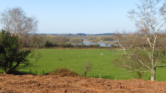
Adlam's Plantation is a picturesque woodland located in Hampshire, England. Situated in the heart of the county, this woodland is renowned for its natural beauty and rich biodiversity. Covering an area of approximately 200 acres, Adlam's Plantation is a haven for nature enthusiasts and those seeking tranquility amidst the hustle and bustle of modern life.
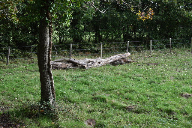
The woodland is predominantly comprised of a mix of deciduous and coniferous trees, creating a diverse ecosystem that supports a wide range of plant and animal species. Visitors can expect to encounter oak, beech, and pine trees, among others, as they explore the woodland's winding trails. The canopy of trees provides a cooling shade during the summer months and a vibrant display of colors during autumn.
Adlam's Plantation is home to an array of wildlife, including deer, foxes, squirrels, and a variety of bird species. The woodland's peaceful atmosphere makes it an ideal habitat for these animals, allowing visitors to observe them in their natural environment. Additionally, the plantation is also home to several species of rare and protected flora, making it a site of significant ecological importance.
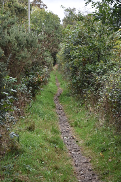
The woodland offers a range of activities for visitors, such as walking, cycling, and picnicking. Several well-marked trails guide visitors through the plantation, allowing them to fully explore its beauty. There are also designated picnic areas where visitors can relax and enjoy the serene surroundings.
Adlam's Plantation is a true gem of Hampshire, showcasing the county's natural beauty and providing a much-needed escape from the pressures of everyday life. Whether one is a nature lover, a keen photographer, or simply seeking a tranquil retreat, this woodland is a must-visit destination.
If you have any feedback on the listing, please let us know in the comments section below.
Adlam's Plantation Images
Images are sourced within 2km of 50.888324/-1.7839546 or Grid Reference SU1509. Thanks to Geograph Open Source API. All images are credited.

Adlam's Plantation is located at Grid Ref: SU1509 (Lat: 50.888324, Lng: -1.7839546)
Administrative County: Hampshire
District: New Forest
Police Authority: Hampshire
What 3 Words
///watchdogs.radiates.youths. Near Alderholt, Dorset
Nearby Locations
Related Wikis

Ringwood and Fordingbridge Rural District
Ringwood and Fordingbridge was a rural district in Hampshire from 1932 to 1974.It was formed by the merger of part of the disbanded Christchurch Rural...

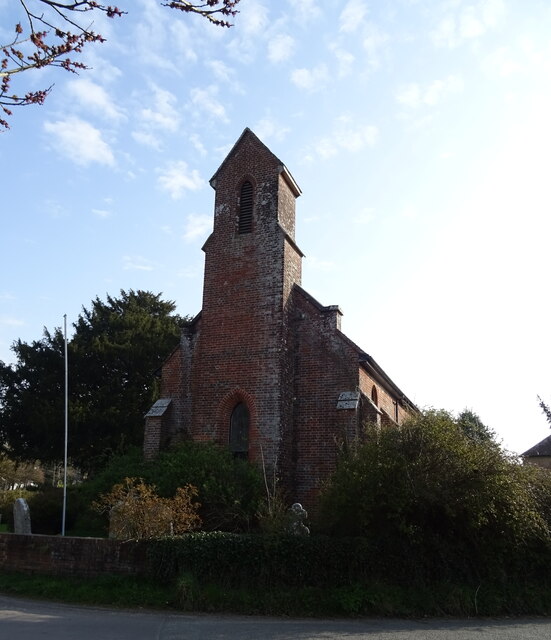
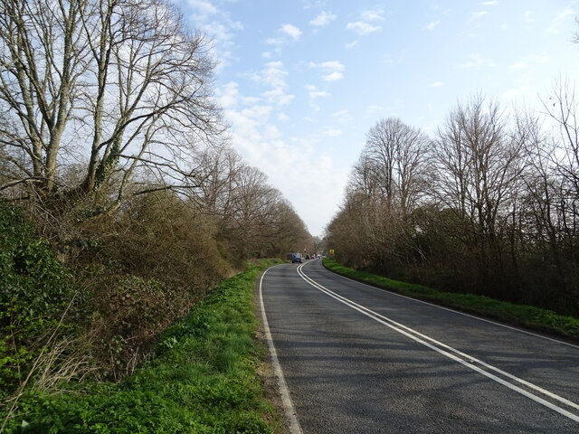
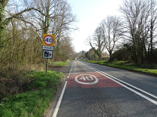
Ibsley
Ibsley is a village and former civil parish, now in the parish of Ellingham, Harbridge and Ibsley, in the New Forest district, in Hampshire, England. It...

Latchmore Brook
The Latchmore Brook is a significant stream in the New Forest, Hampshire, England. It rises from the elevated gravel plateaus in the north of the Forest...
Mockbeggar, Hampshire
Mockbeggar is a hamlet in the New Forest National Park of Hampshire, England. Its nearest town is Ringwood, which lies approximately 3 miles (5.6 km) south...

South Gorley
South Gorley is a hamlet in the New Forest National Park of Hampshire, England. It is in the civil parish of Ellingham, Harbridge and Ibsley. Its nearest...

Harbridge
Harbridge is a small village and former civil parish, now in the parish of Ellingham, Harbridge and Ibsley, in the New Forest district, in the county of...

Avon Valley (Bickton to Christchurch)
Avon Valley (Bickton to Christchurch) is a 1,403.8-hectare (3,469-acre) biological Site of Special Scientific Interest which stretches from Christchurch...
RAF Ibsley
Royal Air Force Ibsley or more simply RAF Ibsley is a former Royal Air Force station in Hampshire, England. The airfield is near the village of Ibsley...
Nearby Amenities
Located within 500m of 50.888324,-1.7839546Have you been to Adlam's Plantation?
Leave your review of Adlam's Plantation below (or comments, questions and feedback).