Hearns Plantation
Wood, Forest in Hampshire New Forest
England
Hearns Plantation
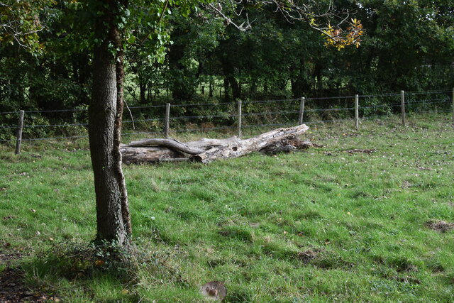
Hearns Plantation is a picturesque woodland located in the county of Hampshire, England. Situated in the heart of the New Forest National Park, this beautiful plantation spans an area of approximately 200 acres. It is known for its dense and diverse collection of trees, making it a haven for nature enthusiasts and a popular destination for walkers, hikers, and photographers.
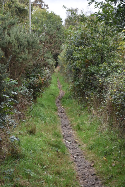
The plantation boasts an impressive variety of tree species, including oak, beech, birch, and pine, creating a vibrant and colorful landscape throughout the year. Visitors can explore the network of well-maintained trails that wind through the woodland, offering stunning views and opportunities to spot wildlife such as deer, squirrels, and a wide range of bird species.
Hearns Plantation is also home to a number of historic features, adding to its charm and character. The remnants of an old sawmill can still be seen, serving as a reminder of the area's industrial past. Additionally, there are several picnic areas and benches scattered throughout the woodland, providing the perfect spot for visitors to relax and enjoy the tranquil surroundings.
Managed by the Forestry Commission, Hearns Plantation is carefully maintained to preserve its natural beauty and ecological balance. Its accessibility and close proximity to nearby towns and villages make it a popular destination for both locals and tourists, offering a peaceful retreat from the hustle and bustle of everyday life. Whether one seeks a leisurely stroll, a family picnic, or a chance to immerse oneself in nature, Hearns Plantation offers a truly enchanting experience for all who visit.
If you have any feedback on the listing, please let us know in the comments section below.
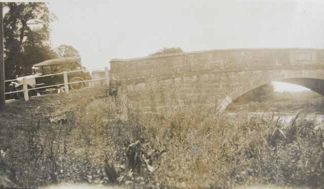
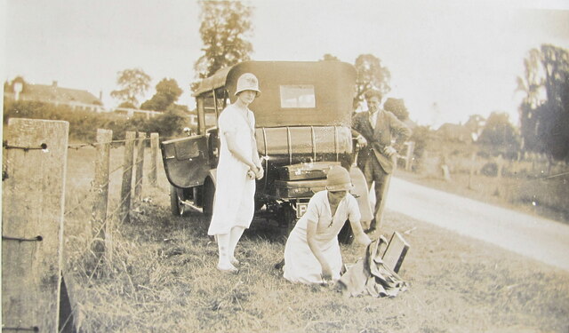
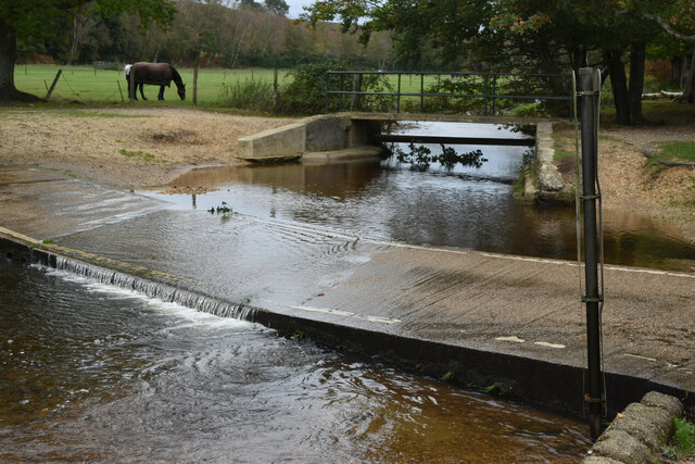
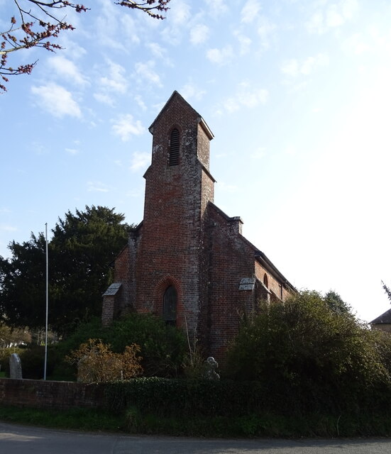
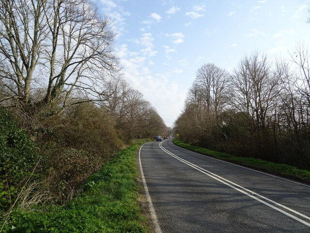
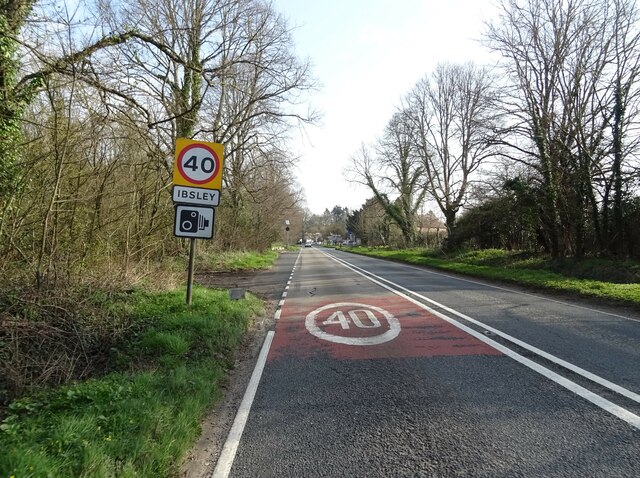
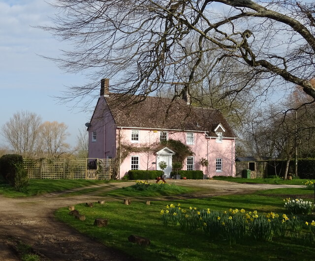
Hearns Plantation Images
Images are sourced within 2km of 50.884089/-1.7793542 or Grid Reference SU1509. Thanks to Geograph Open Source API. All images are credited.


Hearns Plantation is located at Grid Ref: SU1509 (Lat: 50.884089, Lng: -1.7793542)
Administrative County: Hampshire
District: New Forest
Police Authority: Hampshire
What 3 Words
///lucky.testers.landlady. Near Ringwood, Hampshire
Nearby Locations
Related Wikis

Ringwood and Fordingbridge Rural District
Ringwood and Fordingbridge was a rural district in Hampshire from 1932 to 1974.It was formed by the merger of part of the disbanded Christchurch Rural...
Mockbeggar, Hampshire
Mockbeggar is a hamlet in the New Forest National Park of Hampshire, England. Its nearest town is Ringwood, which lies approximately 3 miles (5.6 km) south...

RAF Ibsley
Royal Air Force Ibsley or more simply RAF Ibsley is a former Royal Air Force station in Hampshire, England. The airfield is near the village of Ibsley...
Ibsley Circuit
Ibsley Circuit was a car racing circuit situated at RAF Ibsley, on the Fordingbridge to Ringwood Road in Hampshire, United Kingdom. Autosport states that...

South Gorley
South Gorley is a hamlet in the New Forest National Park of Hampshire, England. It is in the civil parish of Ellingham, Harbridge and Ibsley. Its nearest...
Ibsley
Ibsley is a village and former civil parish, now in the parish of Ellingham, Harbridge and Ibsley, in the New Forest district, in Hampshire, England. It...

Moyles Court School
Moyles Court School is a private school located in Rockford, Hampshire, for children aged 2 to 16 years. Its Headmaster is Richard Milner-Smith. ��2�...

Avon Valley (Bickton to Christchurch)
Avon Valley (Bickton to Christchurch) is a 1,403.8-hectare (3,469-acre) biological Site of Special Scientific Interest which stretches from Christchurch...
Nearby Amenities
Located within 500m of 50.884089,-1.7793542Have you been to Hearns Plantation?
Leave your review of Hearns Plantation below (or comments, questions and feedback).