Aislabeck Plantation
Wood, Forest in Yorkshire Richmondshire
England
Aislabeck Plantation
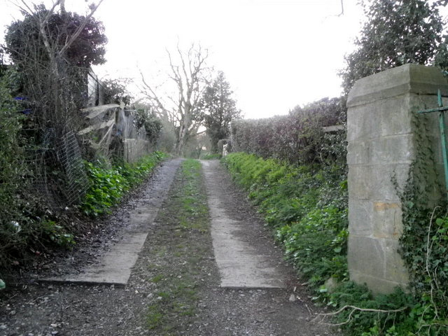
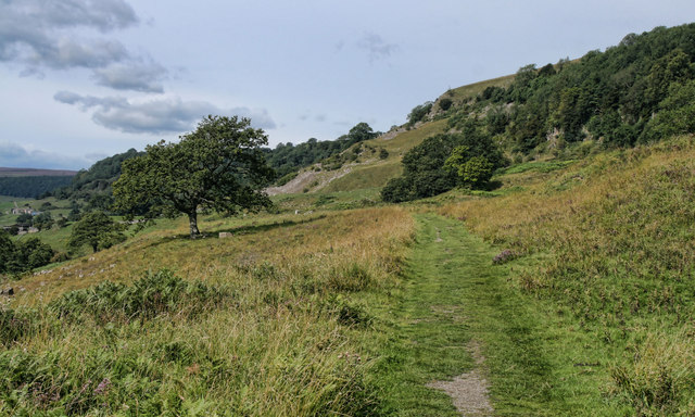
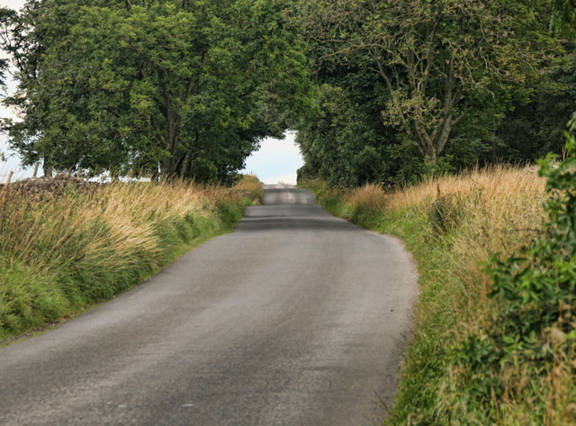
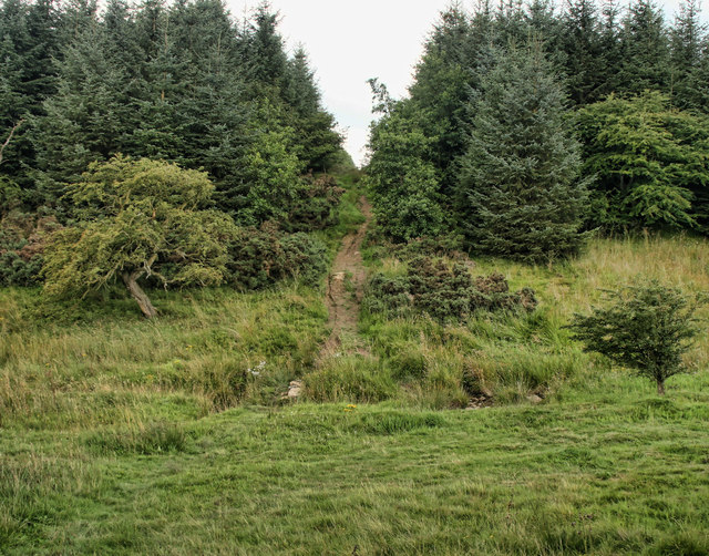
Aislabeck Plantation is a picturesque woodland located in the county of Yorkshire, England. Situated in the heart of the beautiful Yorkshire Dales, this enchanting forest covers an expansive area and offers visitors a tranquil and immersive natural experience.
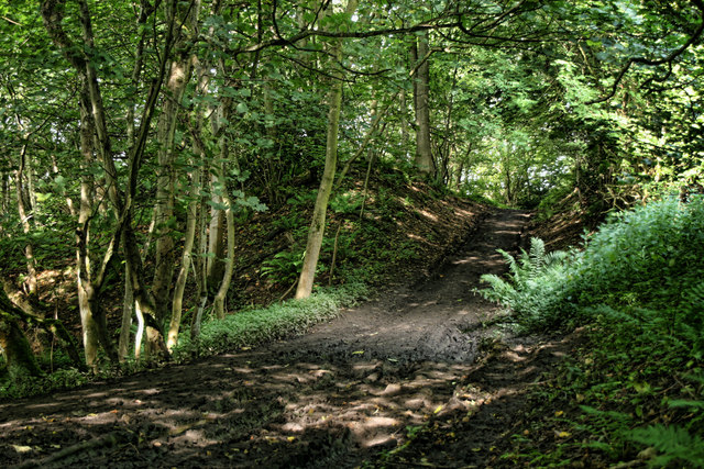
The plantation is characterized by its diverse range of tree species, including oak, beech, and birch, which create a rich and vibrant tapestry of colors throughout the year. The forest is particularly renowned for its breathtaking autumn foliage, when the leaves transform into a stunning array of reds, oranges, and golds.
Visitors to Aislabeck Plantation can enjoy a variety of activities, ranging from leisurely walks and hikes along the numerous trails that crisscross the forest, to picnicking in designated areas surrounded by the tranquil sounds of nature. The plantation also offers opportunities for wildlife enthusiasts, as it is home to a wide range of bird species, including woodpeckers and owls.
The management of Aislabeck Plantation is committed to sustainable forestry practices, ensuring the preservation of this natural treasure for future generations. Additionally, the woodland is well-maintained, with clear paths and signposts to guide visitors and prevent damage to the delicate ecosystem.
Overall, Aislabeck Plantation is a haven for nature lovers and outdoor enthusiasts alike. Its serene beauty, coupled with its accessibility and commitment to conservation, make it a must-visit destination for those seeking solace and connection with the natural world in the heart of Yorkshire.
If you have any feedback on the listing, please let us know in the comments section below.
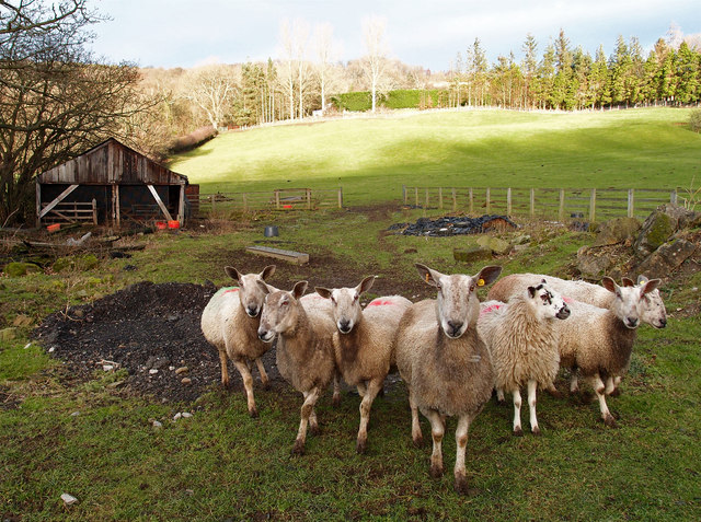
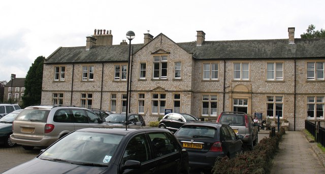
Aislabeck Plantation Images
Images are sourced within 2km of 54.411955/-1.7658307 or Grid Reference NZ1501. Thanks to Geograph Open Source API. All images are credited.

Aislabeck Plantation is located at Grid Ref: NZ1501 (Lat: 54.411955, Lng: -1.7658307)
Division: North Riding
Administrative County: North Yorkshire
District: Richmondshire
Police Authority: North Yorkshire
What 3 Words
///formal.edit.booms. Near Richmond, North Yorkshire
Nearby Locations
Related Wikis

Richmond Racecourse
Richmond Racecourse was a British horse racing track situated at Richmond, North Yorkshire at first High Moor, then Low Moor, from 1765 to 1776. It was...

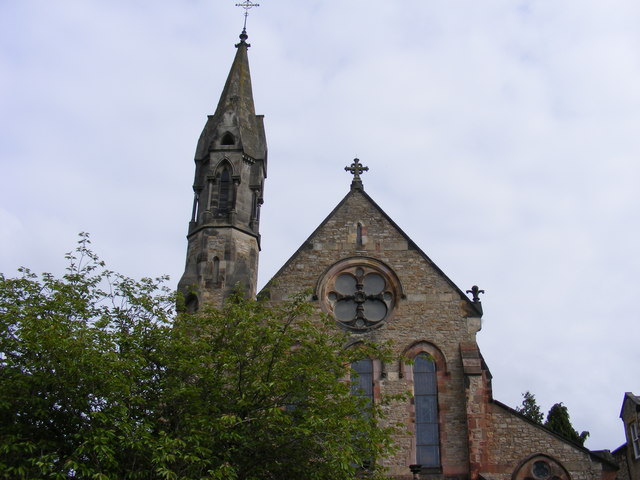
St Joseph and St Francis Xavier Church
St Joseph and St Francis Xavier Church is a Roman Catholic Parish church in Richmond, North Yorkshire. It is situated between Newbiggin and Victoria Road...

Hudswell, North Yorkshire
Hudswell is a village and civil parish on the border of the Yorkshire Dales, in North Yorkshire, England. The population at the ONS Census 2011 was 353...
Friary Community Hospital
The Friary Community Hospital is a health facility in Queen's Road, Richmond, North Yorkshire, England. It is managed by South Tees Hospitals NHS Foundation...

Greyfriars, Richmond
Greyfriars, Richmond was a friary in North Yorkshire, England. Its bell tower still survives and dates from the 15th century. Its establishment as a friary...

Georgian Theatre Royal
The Georgian Theatre Royal is a theatre and historic Georgian playhouse in the market town of Richmond, North Yorkshire, England. It is among the oldest...

Victoria Hospital, Richmond
The Victoria Hospital was a health facility in Queen's Road, Richmond, North Yorkshire, England. It is now used as a funeral director's offices and remains...

Richmond Town Hall, North Yorkshire
Richmond Town Hall is a municipal building in the Market Place, Richmond, North Yorkshire, England. The structure, which is the meeting place of Richmond...
Nearby Amenities
Located within 500m of 54.411955,-1.7658307Have you been to Aislabeck Plantation?
Leave your review of Aislabeck Plantation below (or comments, questions and feedback).