Pinder's Plantation
Wood, Forest in Yorkshire Harrogate
England
Pinder's Plantation

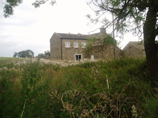
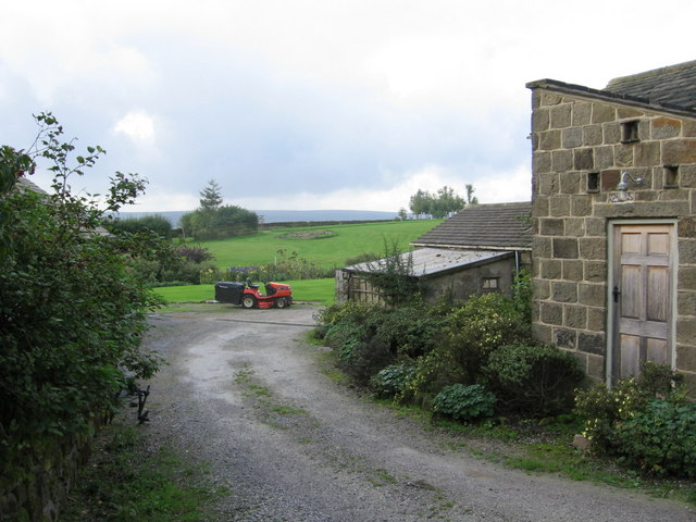
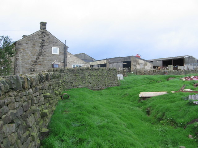
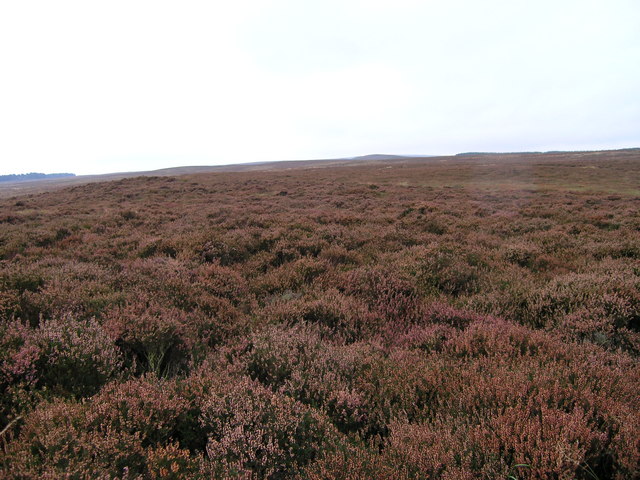
Pinder's Plantation is a sprawling woodland located in Yorkshire, England. Nestled in the heart of the county, this enchanting forest stretches over 500 acres, offering a haven of natural beauty and tranquility.
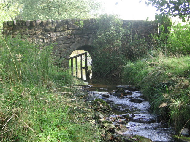
The plantation is predominantly made up of deciduous trees, such as oak, beech, and birch, which create a lush and diverse ecosystem. The forest floor is blanketed with a rich layer of moss, ferns, and wildflowers, adding a vibrant touch of color to the landscape. Pinder's Plantation is also home to a variety of wildlife, including deer, foxes, rabbits, and a plethora of bird species, making it a popular spot for nature enthusiasts and birdwatchers.
The woodland is crisscrossed by a network of well-maintained walking trails, allowing visitors to explore its natural wonders at their own pace. These paths wind through the forest, leading to hidden glades, babbling brooks, and picturesque viewpoints. The plantation is also known for its beautiful bluebell displays in the spring, attracting visitors from far and wide.
Pinder's Plantation is not only a natural treasure but also an important part of the local history. The woodland has been carefully managed for generations, with sustainable forestry practices in place to ensure its preservation for future generations to enjoy. The plantation is open to the public year-round, providing a serene escape from the hustle and bustle of everyday life.
If you have any feedback on the listing, please let us know in the comments section below.
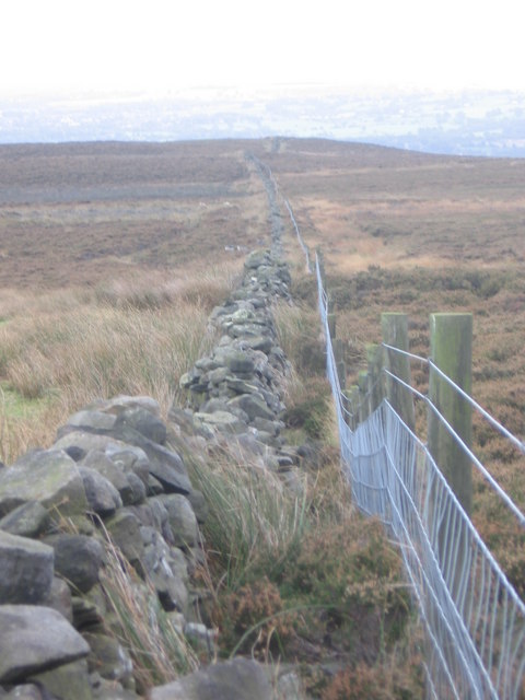
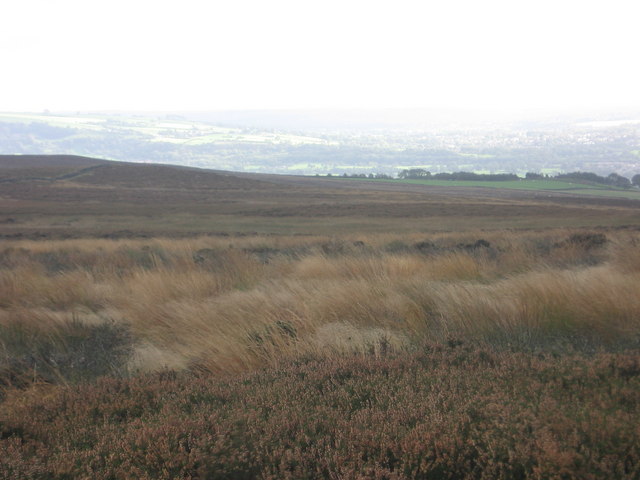
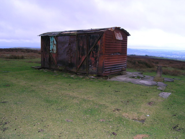
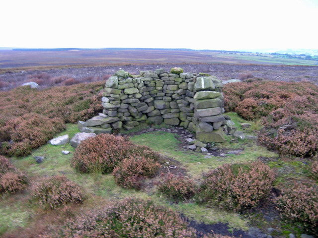
Pinder's Plantation Images
Images are sourced within 2km of 53.950718/-1.7684955 or Grid Reference SE1550. Thanks to Geograph Open Source API. All images are credited.


Pinder's Plantation is located at Grid Ref: SE1550 (Lat: 53.950718, Lng: -1.7684955)
Division: West Riding
Administrative County: North Yorkshire
District: Harrogate
Police Authority: North Yorkshire
What 3 Words
///lilac.project.weeks. Near Burley in Wharfedale, West Yorkshire
Nearby Locations
Related Wikis
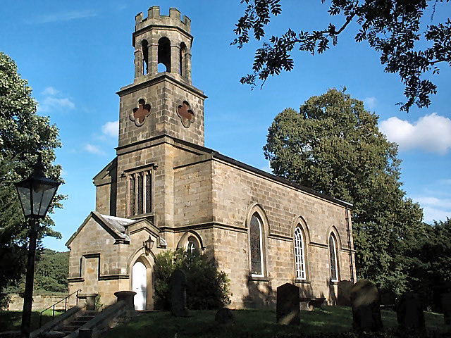
Church of St Helen, Denton
The Church of St Helen, Denton is a parish church in the hamlet of Denton, near Otley, in North Yorkshire, England. The church was built in 1776 by the...

Denton, North Yorkshire
Denton is a hamlet and civil parish in the Harrogate district of North Yorkshire, England. At the 2011 Census the population of this civil parish was less...

Denton Hall, Wharfedale
Denton Hall is an English country house located to the north of the River Wharfe, at Denton, Borough of Harrogate, North Yorkshire, England between Otley...

Snowden Crags
Snowden Crags is a prehistoric archaeological site on Askwith Moor in North Yorkshire, England. Local antiquarian Eric Cowling recorded a stone circle...

Ilkley Town A.F.C.
Ilkley Town Association Football Club is a football club based in Ilkley, England. They are currently members of the North West Counties League Division...

Askwith
Askwith is a village and civil parish in North Yorkshire, England, with a population of 220 (2001 census), increasing to 240 at the 2011 Census. The village...
Yorkshire Heritage Way
The Yorkshire Heritage Way is a 42-mile (68 km) footpath in northern England. It links the contrasting cities of Bradford in West Yorkshire and Ripon in...
Middleton-on-Wharfe
Middleton is a hamlet and civil parish in the Harrogate district of North Yorkshire, England. It is on the border with West Yorkshire and 1 mile north...
Nearby Amenities
Located within 500m of 53.950718,-1.7684955Have you been to Pinder's Plantation?
Leave your review of Pinder's Plantation below (or comments, questions and feedback).