Ash Coppice

Wood, Forest in Gloucestershire Cotswold

England

Ash Coppice

Road junction at Smallthorns Cottage Sheltered by small copses
Road junction at Smallthorns Cottage Credit: David Smith

Ash Coppice is a small wood located in Gloucestershire, England. Situated in the heart of the county, it covers an area of approximately 10 hectares. The wood is predominantly composed of ash trees, hence its name, but also features a diverse range of other deciduous species such as oak, birch, and beech.

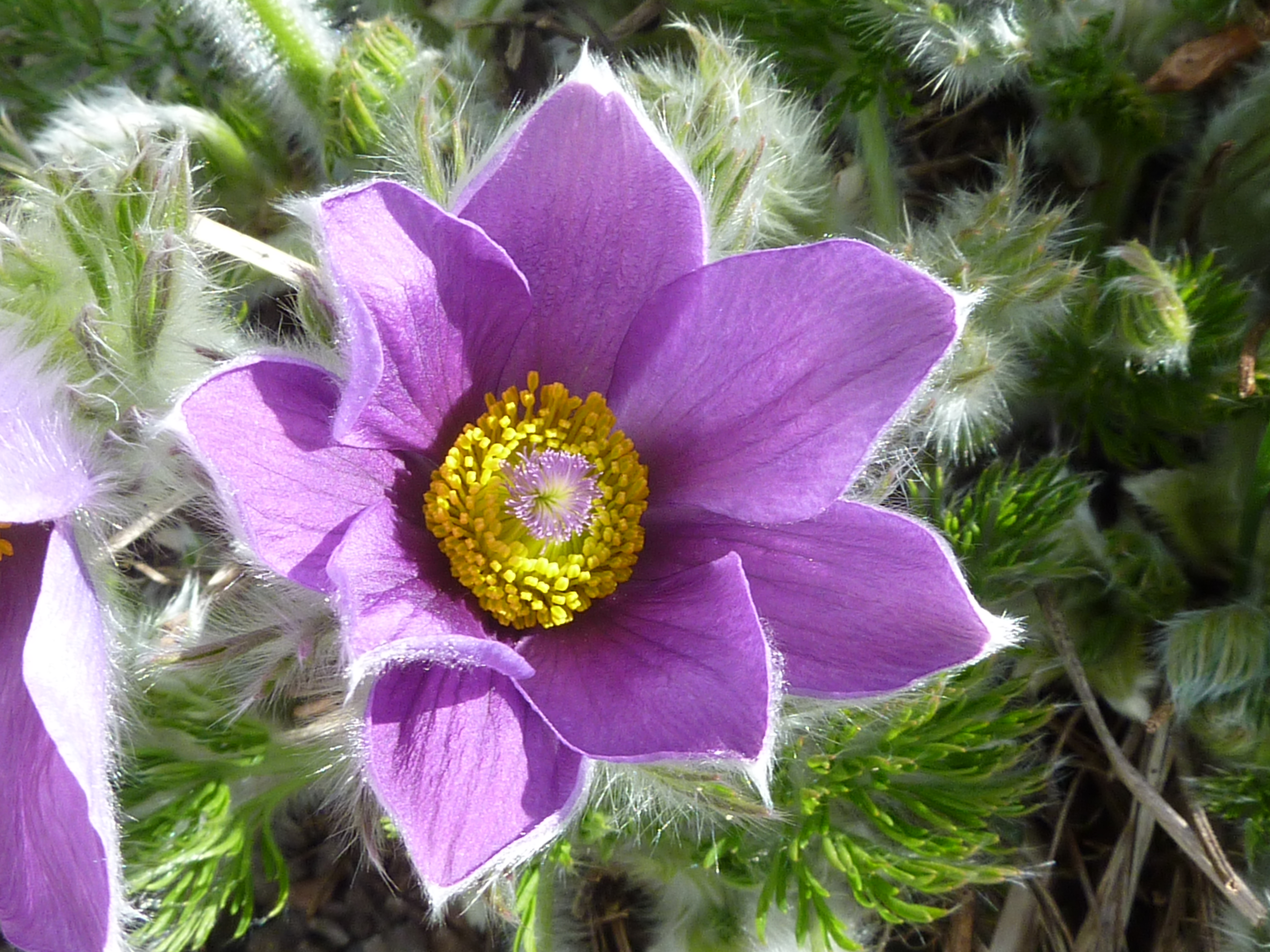
The woodland floor is covered in a thick carpet of moss, providing a lush and green environment. It is also home to a variety of wildflowers, including bluebells, primroses, and wood anemones, which add vibrant splashes of color during the spring and summer months.

The wood is a haven for wildlife, attracting a wide range of species. Birdwatchers can spot species such as great tits, blue tits, and wrens, while woodland mammals like squirrels, badgers, and foxes can also be found here. In addition, the wood provides a habitat for insects, including butterflies, beetles, and spiders.

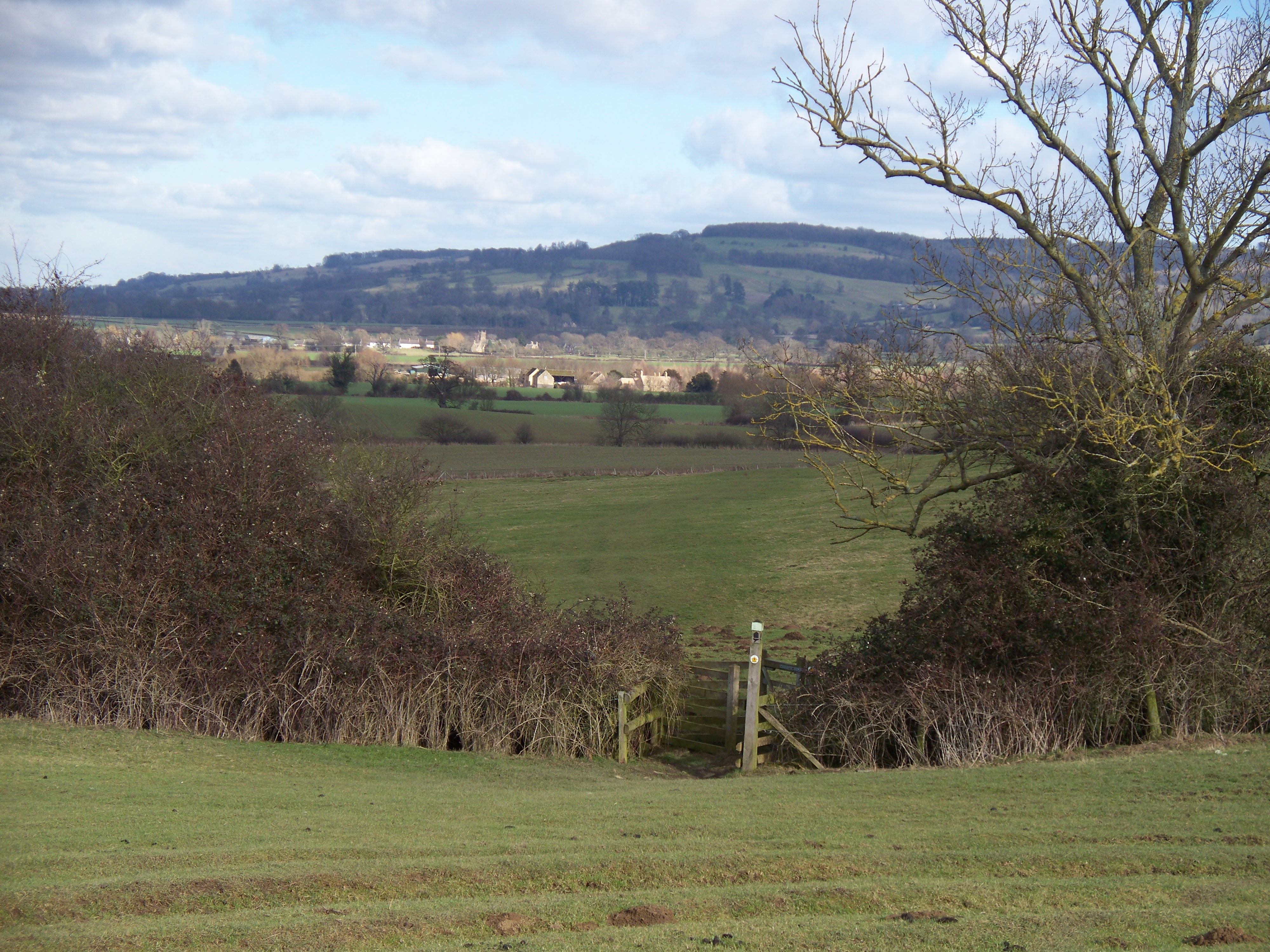
Ash Coppice offers visitors a peaceful and tranquil setting, ideal for nature walks and exploration. There are several pathways that wind through the wood, allowing visitors to immerse themselves in the natural beauty of the surroundings. The wood is particularly popular in the autumn months when the ash trees turn vibrant shades of gold and orange, creating a stunning display of autumnal colors.

Overall, Ash Coppice is a charming woodland retreat, offering a rich variety of flora and fauna, making it a perfect destination for nature enthusiasts and those seeking a peaceful escape in the heart of Gloucestershire.

If you have any feedback on the listing, please let us know in the comments section below.
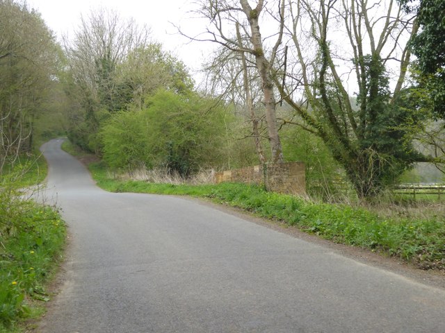
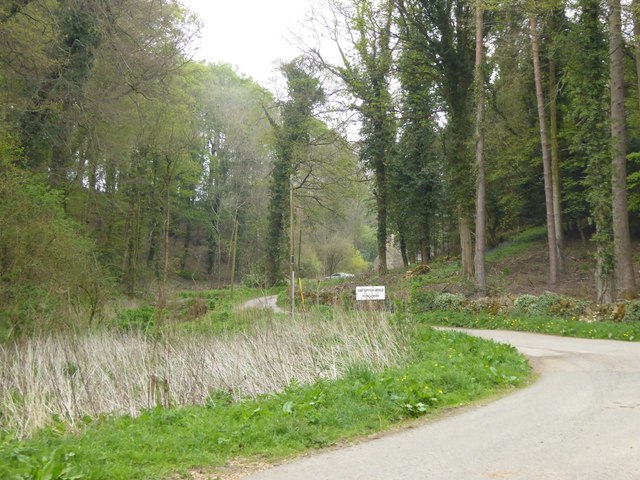
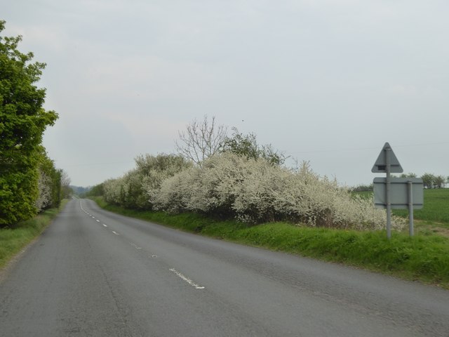
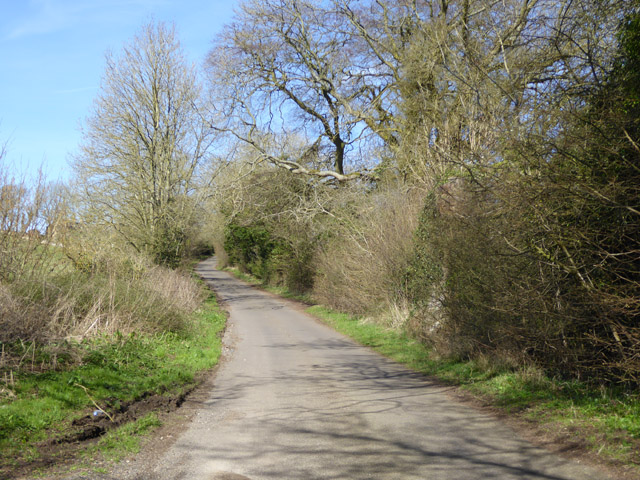
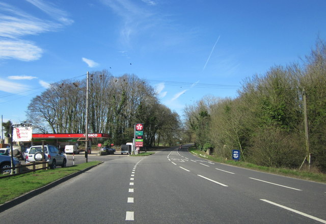
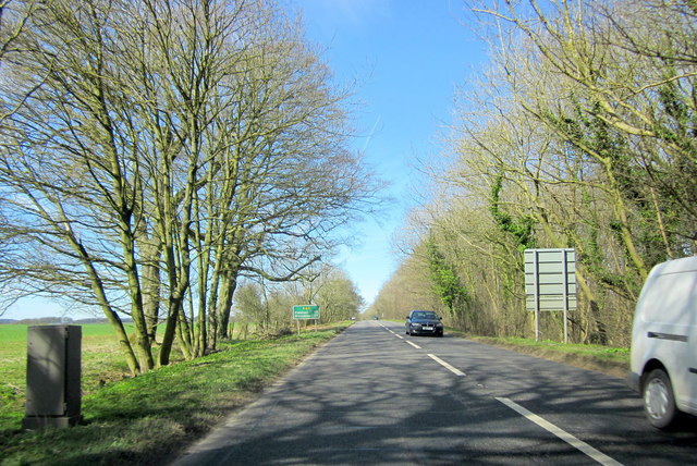
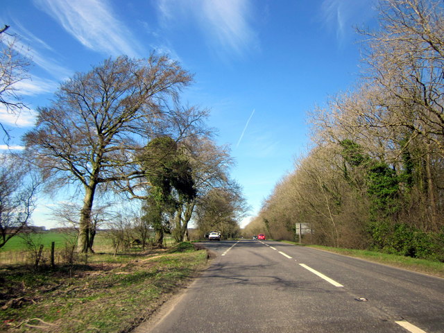
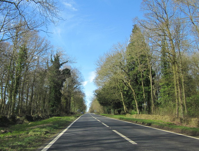
Ash Coppice Images

Images are sourced within 2km of 51.998507/-1.7911557 or Grid Reference SP1433. Thanks to Geograph Open Source API. All images are credited.

Road junction at Smallthorns Cottage Sheltered by small copses
Road junction at Smallthorns Cottage
Sheltered by small copses
Minor road east of Smallthorns Cottage Looking eastwards, the road is starting to drop from the level ridge into a valley
Minor road east of Smallthorns Cottage
Looking eastwards, the road is starting to drop from the level ridge into a valley
Stile and sign for footpath, part of the Diamond Way
Bridge at the southern end of The Dingles wood The stream flows from the north through the wood; the road marks the edge of the woodland
Bridge at the southern end of The Dingles wood
The stream flows from the north through the wood; the road marks the edge of the woodland
Road to Far Upton Wold farm This road through woodland is part of the Diamond Way footpath
Road to Far Upton Wold farm
This road through woodland is part of the Diamond Way footpath
Blossom on Five Mile Drive (A424)
Headland footpath Headland footpath cut by a considerate farmer.  This path is just to the south of the A44 at Five Mile Drive.
Headland footpath
Headland footpath cut by a considerate farmer. This path is just to the south of the A44 at Five Mile Drive.
Headland daisies Daisies in a field headland beside the A44 Five Mile Drive near Blockley.
Headland daisies
Daisies in a field headland beside the A44 Five Mile Drive near Blockley.
Farmland beside Five Mile Drive Field headland beside Five Mile Drive and the A44 on the Cotswolds near Blockley.
Farmland beside Five Mile Drive
Field headland beside Five Mile Drive and the A44 on the Cotswolds near Blockley.
View to Forresters Cottage View to Forresters Cottage beside Five Mile Drive near Blockley.
View to Forresters Cottage
View to Forresters Cottage beside Five Mile Drive near Blockley.
Lane towards Smallthorns Farm
Junction for Far Upton Wold Farm A private road to the farm goes left. A public footpath also follows it, used by the Diamond Way.
Junction for Far Upton Wold Farm
A private road to the farm goes left. A public footpath also follows it, used by the Diamond Way.
Log stacks by the road Tracks suggested these had been brought across the field from woodland to the right.
Log stacks by the road
Tracks suggested these had been brought across the field from woodland to the right.
Spring Hill House A grade II listed building, about 1757 with later additions and alterations.
Spring Hill House
A grade II listed building, about 1757 with later additions and alterations.
Troopers Lodge Garage A44
A44 Five Mile Drive Heading Towards Broadway
A44 Five Mile Drive Heading Towards Broadway E-Type Jaguar in Layby
A44 Five Mile Drive Just Before Turning For Blockley
Show me another place!

Ash Coppice is located at Grid Ref: SP1433 (Lat: 51.998507, Lng: -1.7911557)

Administrative County: Gloucestershire

District: Cotswold

Police Authority: Gloucestershire

What 3 Words

///guesswork.windmill.senders. Near Blockley, Gloucestershire

Related Wikis

Nearby Amenities

Located within 500m of 51.998507,-1.7911557
Kennel Hill
Power: pole
Transformer: distribution
Voltage Primary: 11000
Lat/Long: 51.9987469/-1.7970901
Power: pole
Lat/Long: 51.9980368/-1.7963974
Power: pole
Lat/Long: 51.9975128/-1.7958958
Power: pole
Lat/Long: 51.9969315/-1.7953393
Upton Wold House
Power: pole
Transformer: distribution
Voltage Primary: 11000
Lat/Long: 51.996811/-1.7944863
Power: pole
Lat/Long: 51.9967078/-1.7931707
Power: pole
Lat/Long: 51.9966223/-1.7919758
Power: pole
Lat/Long: 51.9965472/-1.7909773
Power: pole
Lat/Long: 51.9964733/-1.7900104
Trooper's Lodge
Power: pole
Transformer: distribution
Voltage Primary: 11000
Lat/Long: 51.9972172/-1.7845199
Power: pole
Lat/Long: 51.997178/-1.7854205
Power: pole
Lat/Long: 51.9971285/-1.7867629
Power: pole
Lat/Long: 51.9967623/-1.7878385
Power: pole
Lat/Long: 51.9963948/-1.7889073
Power: pole
Lat/Long: 51.9962974/-1.7877446
Power: pole
Lat/Long: 51.9958176/-1.7866771
Kennel Hill Cottages
Power: pole
Transformer: distribution
Voltage Primary: 11000
Lat/Long: 51.9946013/-1.7902069
Power: pole
Lat/Long: 51.9947689/-1.7895209
Power: pole
Lat/Long: 51.9949977/-1.7885768
Power: pole
Lat/Long: 51.9951463/-1.7872524
The data included in this document is from www.openstreetmap.org. The data is made available under ODbL.

Have you been to Ash Coppice?

Leave your review of Ash Coppice below (or comments, questions and feedback).