Ridge Upper Moor

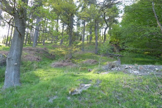
Wood, Forest in Derbyshire High Peak

England

Ridge Upper Moor

Temporary bridge made for logging vehicles An area of mature conifers was clear felled and this bridge was made for access by logging vehicles using some of the cut logs.
Temporary bridge made for logging vehicles Credit: Graham Cole

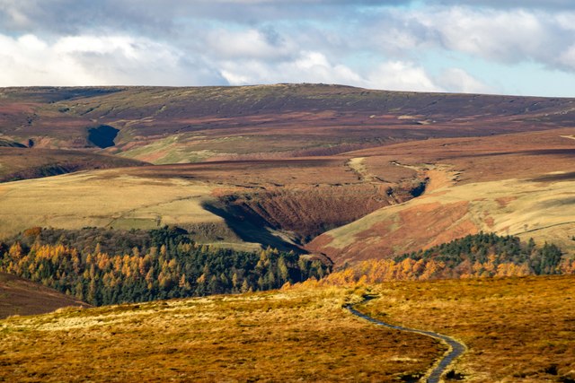
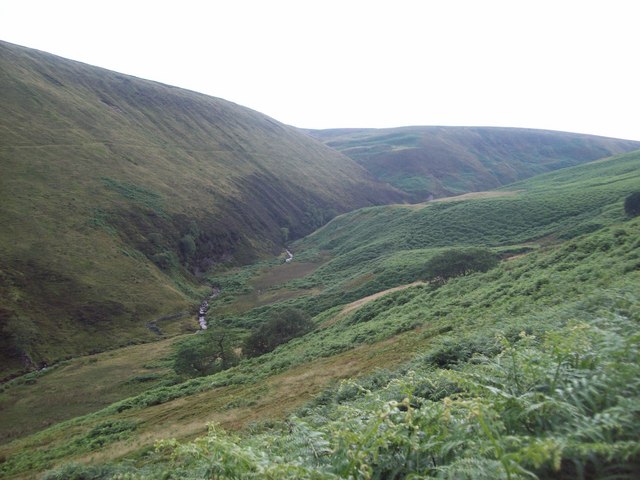
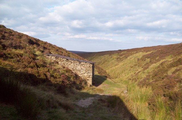
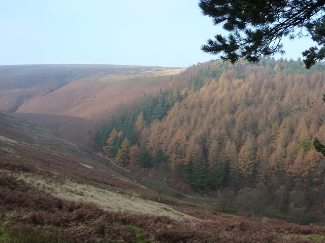
Ridge Upper Moor, located in Derbyshire, England, is a picturesque wood and forest area that spans over a vast expanse of land. The region is known for its natural beauty and diverse flora and fauna.

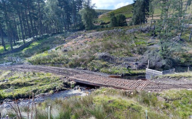
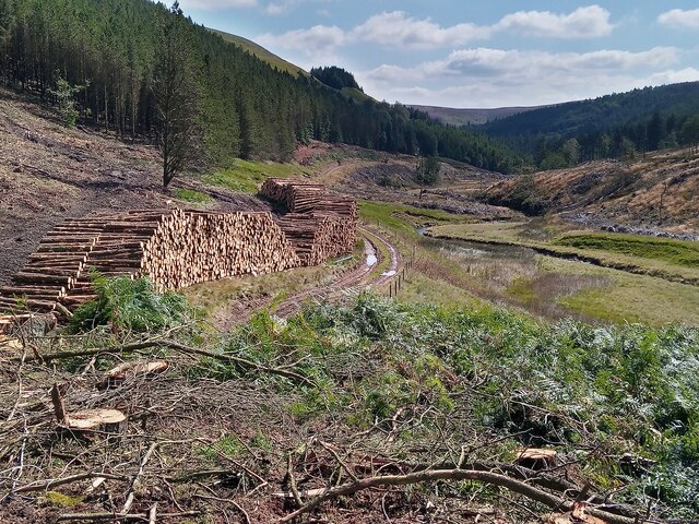
The woodland in Ridge Upper Moor is characterized by a mixture of deciduous and coniferous trees, creating a unique and enchanting landscape. The area features towering oak, beech, and birch trees, as well as evergreen firs and pines. The forest floor is covered in a thick carpet of mosses, ferns, and wildflowers, adding to the area's charm.

The wood is a haven for a wide variety of wildlife. Birdwatchers can spot species such as woodpeckers, owls, and various songbirds. The forest is also home to mammals such as deer, foxes, and rabbits. Nature enthusiasts can often catch glimpses of these creatures as they go about their daily routines.

Walking and hiking trails wind their way through Ridge Upper Moor, allowing visitors to explore the wood at their own pace. The paths are well-maintained and offer breathtaking views of the surrounding countryside. Nature lovers can enjoy a peaceful stroll, immersing themselves in the tranquility of the forest.

Ridge Upper Moor is a popular destination for both locals and tourists seeking to escape the hustle and bustle of city life. Its natural beauty, diverse wildlife, and peaceful ambiance make it an ideal location for outdoor enthusiasts and those looking to reconnect with nature.

If you have any feedback on the listing, please let us know in the comments section below.

Ridge Upper Moor Images

Images are sourced within 2km of 53.444509/-1.784171 or Grid Reference SK1494. Thanks to Geograph Open Source API. All images are credited.

Temporary bridge made for logging vehicles An area of mature conifers was clear felled and this bridge was made for access by logging vehicles using some of the cut logs.
Temporary bridge made for logging vehicles
An area of mature conifers was clear felled and this bridge was made for access by logging vehicles using some of the cut logs.
Logging near Derwent Reservoirs Clear felling of mature plantations has occurred while other people have planted trees in many acres of previously open moorland and valley sides.
Logging near Derwent Reservoirs
Clear felling of mature plantations has occurred while other people have planted trees in many acres of previously open moorland and valley sides.
Road and Howden Reservoir Howden Reservoir and the road which is only open on weekdays running along side.
Road and Howden Reservoir
Howden Reservoir and the road which is only open on weekdays running along side.
The Howden Reservoir
Trees below Banktop Plantation Trees below Banktop Plantation above Howden Reservoir.
Trees below Banktop Plantation
Trees below Banktop Plantation above Howden Reservoir.
Ridge Clough View of <a href="https://www.geograph.org.uk/photo/6545978">SK1693 : Ridge Clough</a>, in the Upper Derwent Valley, seen from <a href="https://www.geograph.org.uk/photo/7649346">SK1991 : Lost Lad</a>.
Ridge Clough
View of SK1693 : Ridge Clough, in the Upper Derwent Valley, seen from SK1991 : Lost Lad.
Stone Bridge Over the River Westend Attractive stone bridge crossing the Westend River shortly before it joins Howden Reservoir. The Banktop Plantation can be seen beyond.
Stone Bridge Over the River Westend
Attractive stone bridge crossing the Westend River shortly before it joins Howden Reservoir. The Banktop Plantation can be seen beyond.
Track by the River Westend Woodland track climbing alongside the River Westend which can be seen bubbling away on the right.
Track by the River Westend
Woodland track climbing alongside the River Westend which can be seen bubbling away on the right.
Dry Clough and the River Westend Coniferous plantations envelop this section of the clough before giving way to open moorland on the higher slopes.
Dry Clough and the River Westend
Coniferous plantations envelop this section of the clough before giving way to open moorland on the higher slopes.
The Infant River Westend The Westend River viewed here from the track leading up to Ronksley Moor.
The Infant River Westend
The Westend River viewed here from the track leading up to Ronksley Moor.
Track on Ridgewalk Moor
Lower Small Clough One of the two shelters that nestle in this hidden clough.
Lower Small Clough
One of the two shelters that nestle in this hidden clough.
Two bridges
Two bridges
Conifers, and reflections In the waters of Howden Reservoir.
Conifers, and reflections
In the waters of Howden Reservoir.
Fly Agaric in conifer woodland Highly poisonous fungi.Woodland at Howden Reservoir.
Fly Agaric in conifer woodland
Highly poisonous fungi.Woodland at Howden Reservoir.
Conifer plantation, partly felled On the west side of Howden Reservoir.
Conifer plantation, partly felled
On the west side of Howden Reservoir.
Start of a path going to Alport Castles Through a beech plantation called Ditch Clough, near Howden Reservoir.
Start of a path going to Alport Castles
Through a beech plantation called Ditch Clough, near Howden Reservoir.
Conifer plantation Banktop Hey is the moorland across the clough.
Conifer plantation
Banktop Hey is the moorland across the clough.
Show me another place!

Ridge Upper Moor is located at Grid Ref: SK1494 (Lat: 53.444509, Lng: -1.784171)

Administrative County: Derbyshire

District: High Peak

Police Authority: Derbyshire

What 3 Words

///shams.nerves.suspended. Near High Peak, Derbyshire

Related Wikis

Howden Reservoir

The Howden Reservoir is a Y-shaped reservoir, the uppermost of the three in the Upper Derwent Valley, England. The western half of the reservoir lies in...

Alport Castles

The Alport Castles are a landslip feature in the Peak District National Park in Derbyshire. At over half a mile long, it is thought to be the largest landslide...

River Westend

The River Westend flows through the Dark Peak of the Derbyshire Peak District in England. Its source is at Bleaklow Stones on Bleaklow, from where it...

Howden Edge

Howden Edge (grid reference SK187943) is a peak in the north-east of the Upper Derwent Valley area of the Peak District National Park in England. At 545...

High Stones

High Stones, at 548 metres (1,798 ft), is the highest point within the boundaries of both the City of Sheffield and South Yorkshire, England.High Stones...

Derwent Reservoir (Derbyshire)

Derwent Reservoir is the middle of three reservoirs in the Upper Derwent Valley in the north of Derbyshire, England. It lies approximately 10 mi (16 km...

River Alport

The River Alport flows for 5.6 miles (9 km) in the Dark Peak of the Peak District in Derbyshire, England. Its source is on Bleaklow, 3 miles (4.8 km)...

Margery Hill

Margery Hill is a 546-metre (1,791 ft) hill on the Howden Moors in South Yorkshire, England. It lies towards the northern boundary of the Peak District...

Nearby Amenities

Located within 500m of 53.444509,-1.784171
The data included in this document is from www.openstreetmap.org. The data is made available under ODbL.

Have you been to Ridge Upper Moor?

Leave your review of Ridge Upper Moor below (or comments, questions and feedback).