Kennel Hill Plantation

Wood, Forest in Gloucestershire Cotswold

England

Kennel Hill Plantation

Road junction at Smallthorns Cottage Sheltered by small copses
Road junction at Smallthorns Cottage Credit: David Smith

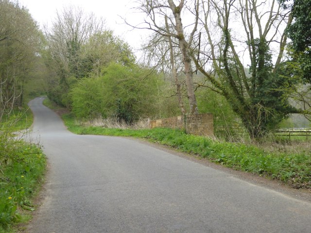
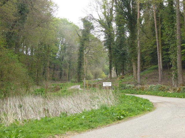
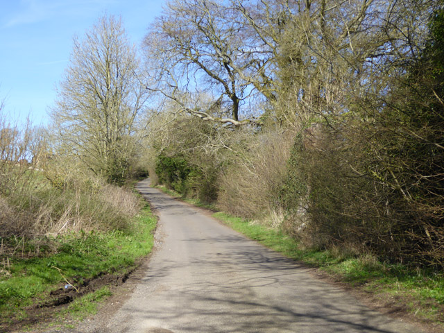
Kennel Hill Plantation is a picturesque woodland located in the county of Gloucestershire, England. Situated within the larger Forest of Dean, this plantation is known for its diverse range of flora and fauna, making it a popular destination for nature enthusiasts and tourists alike.

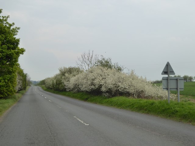
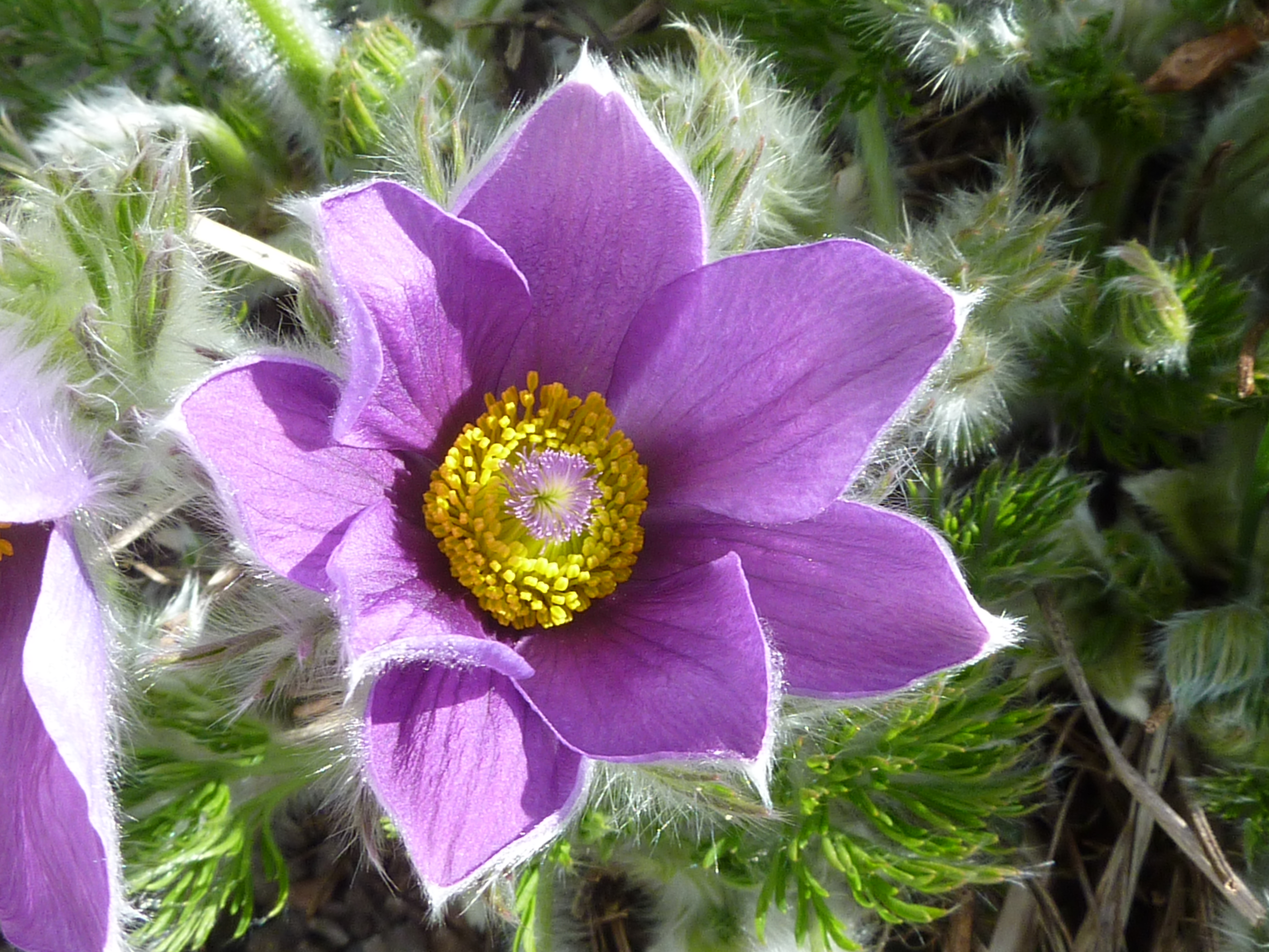
Covering an area of approximately 200 acres, Kennel Hill Plantation is dominated by a mixture of broadleaf trees, predominantly oak and beech, which create a dense canopy overhead. The woodland floor is covered with an array of wildflowers, including bluebells and primroses, adding bursts of color to the landscape during springtime.

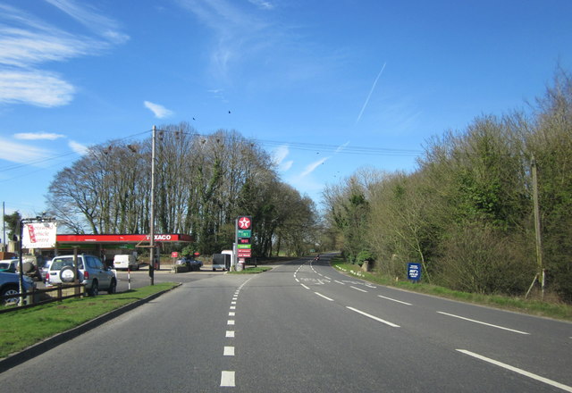
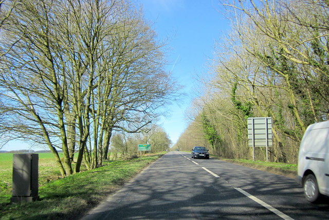
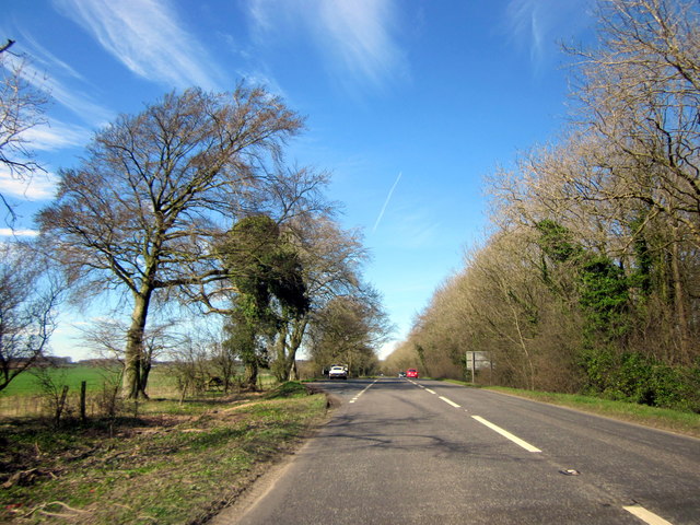
The plantation is crisscrossed by a network of well-maintained footpaths, providing visitors with the opportunity to explore the area and enjoy its natural beauty. These paths lead to several viewpoints, offering panoramic vistas of the surrounding countryside.

The plantation is also home to a wide variety of wildlife. Birdwatchers can spot species such as woodpeckers, nuthatches, and tawny owls, while mammal enthusiasts may glimpse foxes, deer, and badgers. The diverse range of habitats within Kennel Hill Plantation provides a sanctuary for many species, contributing to the area's importance for conservation.

In addition to its natural attractions, the plantation offers recreational activities such as hiking, picnicking, and nature photography. It is accessible to visitors of all ages and abilities, with designated parking areas and facilities for disabled visitors.

Overall, Kennel Hill Plantation in Gloucestershire is a stunning woodland retreat, offering a peaceful and immersive experience in the heart of nature.

If you have any feedback on the listing, please let us know in the comments section below.

Kennel Hill Plantation Images

Images are sourced within 2km of 51.995432/-1.7909806 or Grid Reference SP1433. Thanks to Geograph Open Source API. All images are credited.

Road junction at Smallthorns Cottage Sheltered by small copses
Road junction at Smallthorns Cottage
Sheltered by small copses
Minor road east of Smallthorns Cottage Looking eastwards, the road is starting to drop from the level ridge into a valley
Minor road east of Smallthorns Cottage
Looking eastwards, the road is starting to drop from the level ridge into a valley
Stile and sign for footpath, part of the Diamond Way
Bridge at the southern end of The Dingles wood The stream flows from the north through the wood; the road marks the edge of the woodland
Bridge at the southern end of The Dingles wood
The stream flows from the north through the wood; the road marks the edge of the woodland
Road to Far Upton Wold farm This road through woodland is part of the Diamond Way footpath
Road to Far Upton Wold farm
This road through woodland is part of the Diamond Way footpath
Blossom on Five Mile Drive (A424)
Headland footpath Headland footpath cut by a considerate farmer.  This path is just to the south of the A44 at Five Mile Drive.
Headland footpath
Headland footpath cut by a considerate farmer. This path is just to the south of the A44 at Five Mile Drive.
Headland daisies Daisies in a field headland beside the A44 Five Mile Drive near Blockley.
Headland daisies
Daisies in a field headland beside the A44 Five Mile Drive near Blockley.
Farmland beside Five Mile Drive Field headland beside Five Mile Drive and the A44 on the Cotswolds near Blockley.
Farmland beside Five Mile Drive
Field headland beside Five Mile Drive and the A44 on the Cotswolds near Blockley.
View to Forresters Cottage View to Forresters Cottage beside Five Mile Drive near Blockley.
View to Forresters Cottage
View to Forresters Cottage beside Five Mile Drive near Blockley.
Lane towards Smallthorns Farm
Junction for Far Upton Wold Farm A private road to the farm goes left. A public footpath also follows it, used by the Diamond Way.
Junction for Far Upton Wold Farm
A private road to the farm goes left. A public footpath also follows it, used by the Diamond Way.
Log stacks by the road Tracks suggested these had been brought across the field from woodland to the right.
Log stacks by the road
Tracks suggested these had been brought across the field from woodland to the right.
Spring Hill House A grade II listed building, about 1757 with later additions and alterations.
Spring Hill House
A grade II listed building, about 1757 with later additions and alterations.
Troopers Lodge Garage A44
A44 Five Mile Drive Heading Towards Broadway
A44 Five Mile Drive Heading Towards Broadway E-Type Jaguar in Layby
Old Milepost by the A44, Evesham Road, Blockley parish Grazebrook iron casting by the A44, in parish of Blockley (Cotswold District), Evesham Road, by the East side of road.

May be lost

Inscription reads:-
: {hand->} / MORETON / 4 MILES / STOW / 6 / County of Worcester 1896 : : BLOCKLEY / PARISH : : {<-hand} / BROADWAY / 4 MILES / EVESHAM / 10 / WORCESTER / 25 :
Maker:-
: M & W Grazebrook / Iron Founders / Dudley :

Grade II listed.
List Entry Number: 1153277 <span class="nowrap"><a title="https://historicengland.org.uk/listing/the-list/list-entry/1153277" rel="nofollow ugc noopener" href="https://historicengland.org.uk/listing/the-list/list-entry/1153277">Link</a><img style="margin-left:2px;" alt="External link" title="External link - shift click to open in new window" src="https://s1.geograph.org.uk/img/external.png" width="10" height="10"/></span>

Milestone Society National ID: GL_MMEV04
Old Milepost by the A44, Evesham Road, Blockley parish
Grazebrook iron casting by the A44, in parish of Blockley (Cotswold District), Evesham Road, by the East side of road. May be lost Inscription reads:- : {hand->} / MORETON / 4 MILES / STOW / 6 / County of Worcester 1896 : : BLOCKLEY / PARISH : : {<-hand} / BROADWAY / 4 MILES / EVESHAM / 10 / WORCESTER / 25 : Maker:- : M & W Grazebrook / Iron Founders / Dudley : Grade II listed. List Entry Number: 1153277 LinkExternal link Milestone Society National ID: GL_MMEV04
Show me another place!

Kennel Hill Plantation is located at Grid Ref: SP1433 (Lat: 51.995432, Lng: -1.7909806)

Administrative County: Gloucestershire

District: Cotswold

Police Authority: Gloucestershire

What 3 Words

///bandage.ambitions.jugs. Near Blockley, Gloucestershire

Related Wikis

Hornsleasow Quarry

Hornsleasow Quarry (grid reference SP131322) is a 3.5-hectare (8.6-acre) geological Site of Special Scientific Interest in Gloucestershire, notified in...

Bourton Down

Bourton Down (grid reference SP142313) is an 11.17-hectare (27.6-acre) biological Site of Special Scientific Interest near Bourton-on-the-Hill in Gloucestershire...

Blockley

Blockley is a village, civil parish and ecclesiastical parish in the Cotswold district of Gloucestershire, England, about 3 miles (5 km) northwest of Moreton...

Hornsleasow Roughs

Hornsleasow Roughs (grid reference SP117323) is a 28.24-hectare (69.8-acre) biological Site of Special Scientific Interest in Gloucestershire, notified...

Hinchwick

Hinchwick is a small village in Gloucestershire, England at grid reference SP145300. Hinchwick Manor was built by architect Charles Robert Cockerell in...

Church of St Lawrence, Bourton-on-the-Hill

The Anglican Church of St Lawrence at Bourton-on-the-Hill in the Cotswold District of Gloucestershire, England was built in the 12th century. It is a grade...
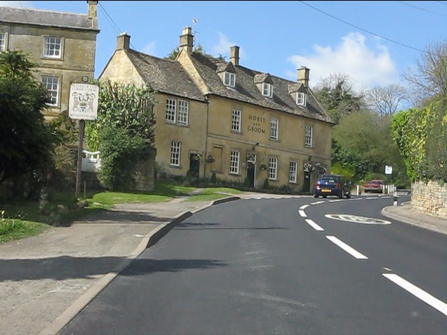
Bourton-on-the-Hill

Bourton-on-the-Hill is a village and civil parish in the Cotswold district of Gloucestershire, England, and about 2 miles (3 km) west of Moreton-in-Marsh...
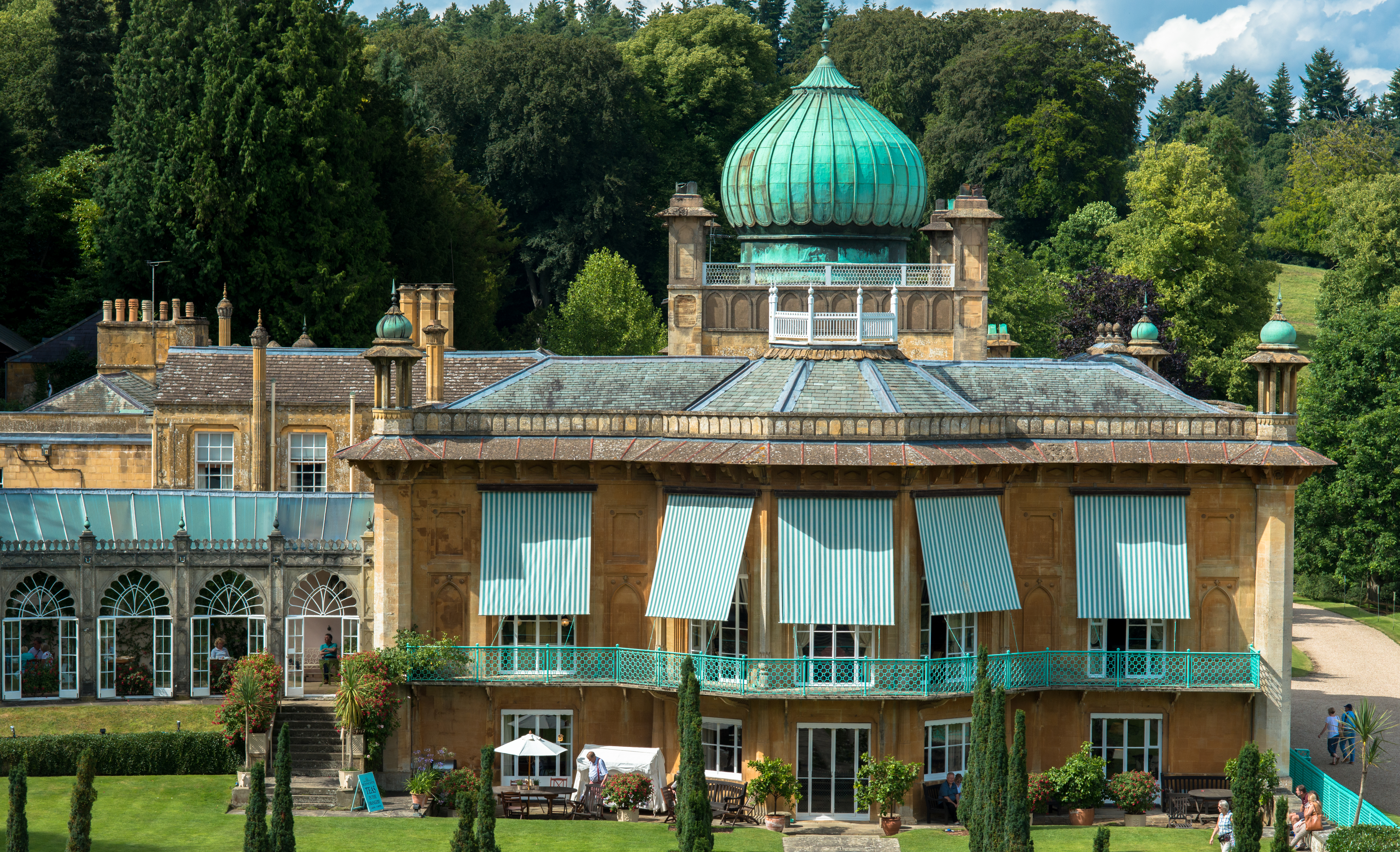
Sezincote House

Sezincote House (pronounced seas in coat) is the centre of a country estate in the civil parish of Sezincote, in the county of Gloucestershire, England...

Nearby Amenities

Located within 500m of 51.995432,-1.7909806
Power: pole
Lat/Long: 51.9980368/-1.7963974
Power: pole
Lat/Long: 51.9975128/-1.7958958
Power: pole
Lat/Long: 51.9969315/-1.7953393
Upton Wold House
Power: pole
Transformer: distribution
Voltage Primary: 11000
Lat/Long: 51.996811/-1.7944863
Power: pole
Lat/Long: 51.9967078/-1.7931707
Power: pole
Lat/Long: 51.9966223/-1.7919758
Power: pole
Lat/Long: 51.9965472/-1.7909773
Power: pole
Lat/Long: 51.9964733/-1.7900104
Trooper's Lodge
Power: pole
Transformer: distribution
Voltage Primary: 11000
Lat/Long: 51.9972172/-1.7845199
Power: pole
Lat/Long: 51.997178/-1.7854205
Power: pole
Lat/Long: 51.9971285/-1.7867629
Power: pole
Lat/Long: 51.9967623/-1.7878385
Power: pole
Lat/Long: 51.9963948/-1.7889073
Power: pole
Lat/Long: 51.9962974/-1.7877446
Power: pole
Lat/Long: 51.9958176/-1.7866771
Kildanes
Power: pole
Transformer: distribution
Voltage Primary: 11000
Lat/Long: 51.9927206/-1.7882086
Power: pole
Lat/Long: 51.9927821/-1.7871988
Power: pole
Lat/Long: 51.9928461/-1.7861608
Power: pole
Lat/Long: 51.9929179/-1.7850678
Kennel Hill Cottages
Power: pole
Transformer: distribution
Voltage Primary: 11000
Lat/Long: 51.9946013/-1.7902069
Power: pole
Lat/Long: 51.9947689/-1.7895209
Power: pole
Lat/Long: 51.9949977/-1.7885768
Power: pole
Lat/Long: 51.9951463/-1.7872524
Power: pole
Lat/Long: 51.9951484/-1.7861259
Power: pole
Lat/Long: 51.9952664/-1.7855372
Power: pole
Lat/Long: 51.9949939/-1.7853434
Power: pole
Lat/Long: 51.9943214/-1.7848787
Power: pole
Lat/Long: 51.9936636/-1.7844133
The data included in this document is from www.openstreetmap.org. The data is made available under ODbL.

Have you been to Kennel Hill Plantation?

Leave your review of Kennel Hill Plantation below (or comments, questions and feedback).