Sheepwash Plantation

Wood, Forest in Gloucestershire Cotswold

England

Sheepwash Plantation

Track and bridleway to Snowshill Hill farm
Track and bridleway to Snowshill Hill farm Credit: David Smith

Sheepwash Plantation is a picturesque woodland located in Gloucestershire, England. Spanning over a vast area, the plantation is known for its serene beauty and diverse range of flora and fauna. The plantation is situated near the village of Sheepwash, which gives it its name.

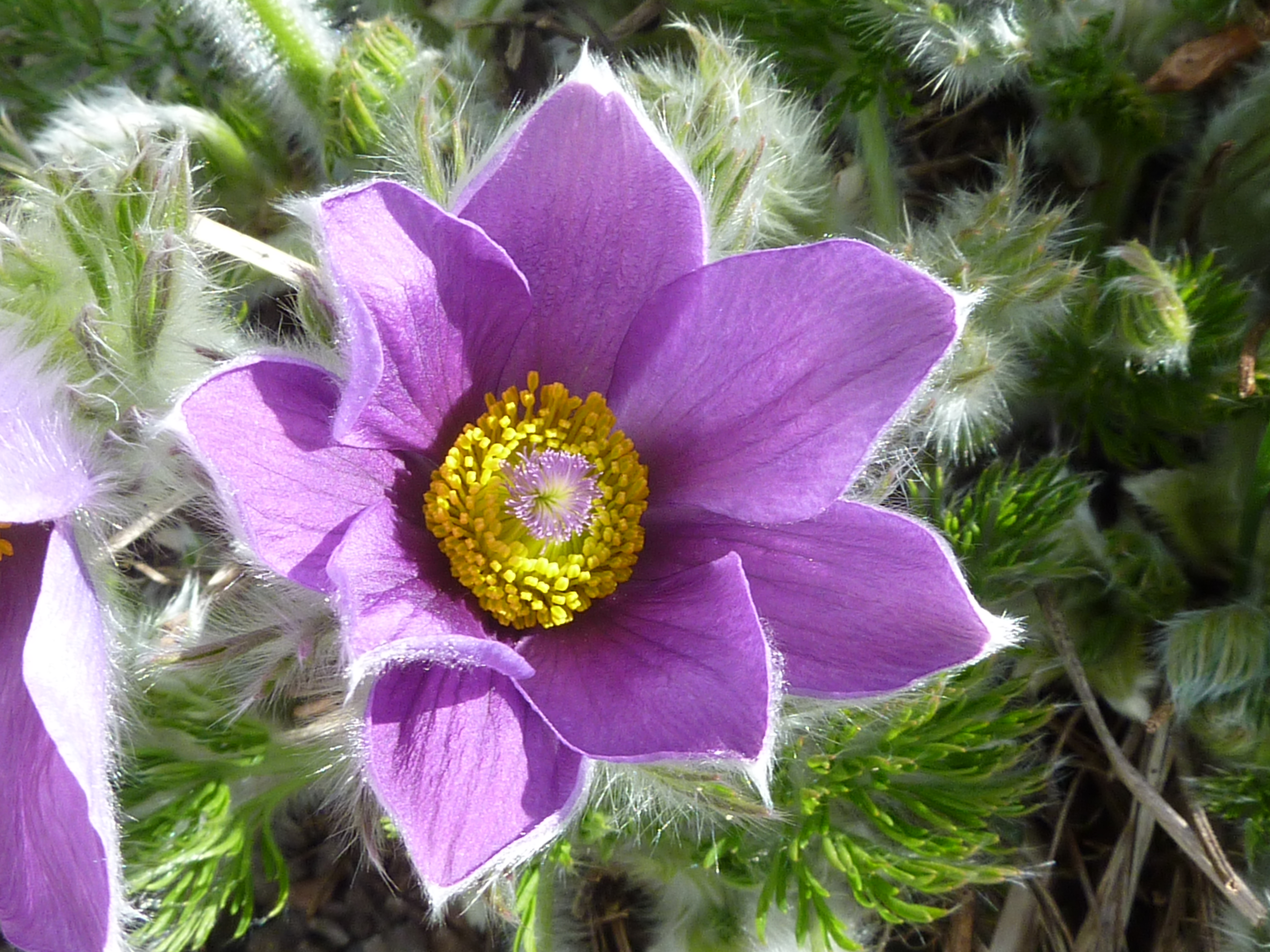
Covering approximately 100 acres, Sheepwash Plantation is predominantly composed of deciduous trees, including oak, beech, and birch. These trees provide a rich canopy, creating a shady and tranquil atmosphere within the woodland. The plantation is also home to a variety of wildflowers, such as bluebells and primroses, which add a burst of color to the landscape during springtime.

The plantation is crisscrossed by several footpaths and trails, making it a popular destination for nature lovers and hikers. These pathways lead visitors through the enchanting woodland, allowing them to explore its hidden corners and discover its natural wonders. Wildlife is abundant in Sheepwash Plantation, with sightings of deer, foxes, and numerous bird species being common.

The plantation is managed by the local forestry commission, ensuring its preservation and protection. Conservation efforts are underway to maintain the ecological balance and promote sustainable practices within the woodland. Sheepwash Plantation serves as an important habitat for various species and contributes to the overall biodiversity of Gloucestershire.

Overall, Sheepwash Plantation offers a peaceful retreat for those seeking solace in nature. Its idyllic setting, diverse vegetation, and abundant wildlife make it a must-visit destination for anyone wishing to immerse themselves in the beauty of Gloucestershire's woodlands.

If you have any feedback on the listing, please let us know in the comments section below.

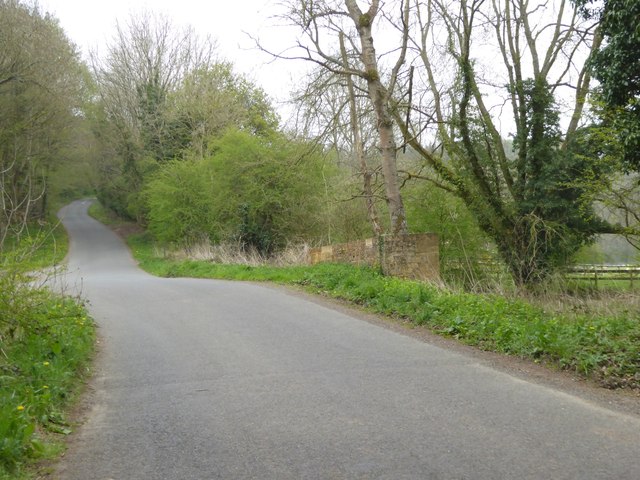
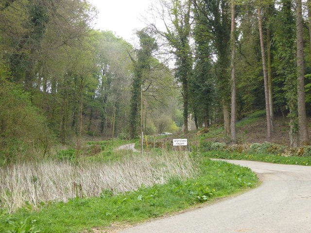
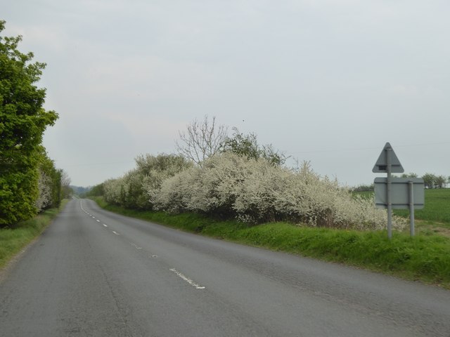
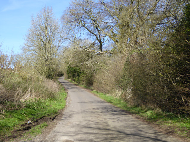
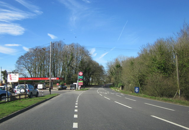
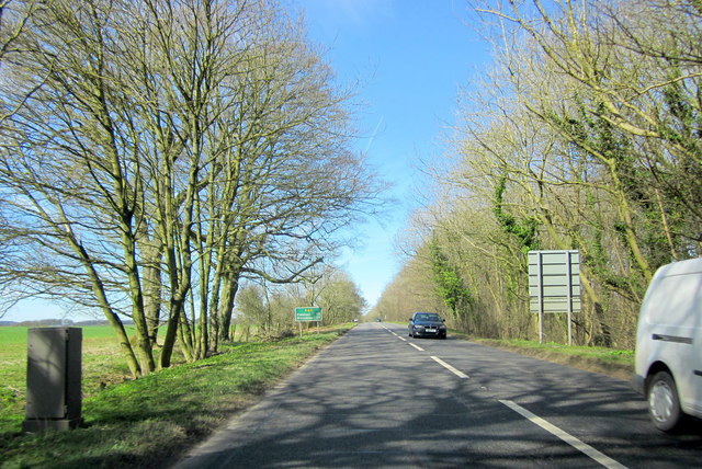
Sheepwash Plantation Images

Images are sourced within 2km of 51.999025/-1.7938042 or Grid Reference SP1433. Thanks to Geograph Open Source API. All images are credited.

Track and bridleway to Snowshill Hill farm
Narrow road with wide verges north of Snowshill Hill farm Showing old and modern forms of boundary - drystone wall or fencing
Narrow road with wide verges north of Snowshill Hill farm
Showing old and modern forms of boundary - drystone wall or fencing
Road junction at Smallthorns Cottage Sheltered by small copses
Road junction at Smallthorns Cottage
Sheltered by small copses
Minor road east of Smallthorns Cottage Looking eastwards, the road is starting to drop from the level ridge into a valley
Minor road east of Smallthorns Cottage
Looking eastwards, the road is starting to drop from the level ridge into a valley
Stile and sign for footpath, part of the Diamond Way
Bridge at the southern end of The Dingles wood The stream flows from the north through the wood; the road marks the edge of the woodland
Bridge at the southern end of The Dingles wood
The stream flows from the north through the wood; the road marks the edge of the woodland
Road to Far Upton Wold farm This road through woodland is part of the Diamond Way footpath
Road to Far Upton Wold farm
This road through woodland is part of the Diamond Way footpath
Blossom on Five Mile Drive (A424)
Headland footpath Headland footpath cut by a considerate farmer.  This path is just to the south of the A44 at Five Mile Drive.
Headland footpath
Headland footpath cut by a considerate farmer. This path is just to the south of the A44 at Five Mile Drive.
Headland daisies Daisies in a field headland beside the A44 Five Mile Drive near Blockley.
Headland daisies
Daisies in a field headland beside the A44 Five Mile Drive near Blockley.
Farmland beside Five Mile Drive Field headland beside Five Mile Drive and the A44 on the Cotswolds near Blockley.
Farmland beside Five Mile Drive
Field headland beside Five Mile Drive and the A44 on the Cotswolds near Blockley.
View to Forresters Cottage View to Forresters Cottage beside Five Mile Drive near Blockley.
View to Forresters Cottage
View to Forresters Cottage beside Five Mile Drive near Blockley.
Lane towards Smallthorns Farm
Junction for Far Upton Wold Farm A private road to the farm goes left. A public footpath also follows it, used by the Diamond Way.
Junction for Far Upton Wold Farm
A private road to the farm goes left. A public footpath also follows it, used by the Diamond Way.
Log stacks by the road Tracks suggested these had been brought across the field from woodland to the right.
Log stacks by the road
Tracks suggested these had been brought across the field from woodland to the right.
Spring Hill House A grade II listed building, about 1757 with later additions and alterations.
Spring Hill House
A grade II listed building, about 1757 with later additions and alterations.
Troopers Lodge Garage A44
A44 Five Mile Drive Heading Towards Broadway
Show me another place!

Sheepwash Plantation is located at Grid Ref: SP1433 (Lat: 51.999025, Lng: -1.7938042)

Administrative County: Gloucestershire

District: Cotswold

Police Authority: Gloucestershire

What 3 Words

///informer.straying.instead. Near Blockley, Gloucestershire

Related Wikis

Hornsleasow Quarry

Hornsleasow Quarry (grid reference SP131322) is a 3.5-hectare (8.6-acre) geological Site of Special Scientific Interest in Gloucestershire, notified in...

Bourton Down

Bourton Down (grid reference SP142313) is an 11.17-hectare (27.6-acre) biological Site of Special Scientific Interest near Bourton-on-the-Hill in Gloucestershire...

Blockley

Blockley is a village, civil parish and ecclesiastical parish in the Cotswold district of Gloucestershire, England, about 3 miles (5 km) northwest of Moreton...

Hornsleasow Roughs

Hornsleasow Roughs (grid reference SP117323) is a 28.24-hectare (69.8-acre) biological Site of Special Scientific Interest in Gloucestershire, notified...

Nearby Amenities

Located within 500m of 51.999025,-1.7938042
Kennel Hill
Power: pole
Transformer: distribution
Voltage Primary: 11000
Lat/Long: 51.9987469/-1.7970901
Power: pole
Lat/Long: 51.9980368/-1.7963974
Power: pole
Lat/Long: 51.9975128/-1.7958958
Power: pole
Lat/Long: 51.9969315/-1.7953393
Upton Wold House
Power: pole
Transformer: distribution
Voltage Primary: 11000
Lat/Long: 51.996811/-1.7944863
Power: pole
Lat/Long: 51.9967078/-1.7931707
Power: pole
Lat/Long: 51.9966223/-1.7919758
Power: pole
Lat/Long: 51.9965472/-1.7909773
Power: pole
Lat/Long: 51.9964733/-1.7900104
Power: pole
Lat/Long: 51.9967623/-1.7878385
Power: pole
Lat/Long: 51.9963948/-1.7889073
The data included in this document is from www.openstreetmap.org. The data is made available under ODbL.

Have you been to Sheepwash Plantation?

Leave your review of Sheepwash Plantation below (or comments, questions and feedback).