Sandle Copse
Wood, Forest in Hampshire New Forest
England
Sandle Copse
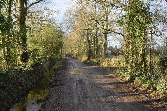
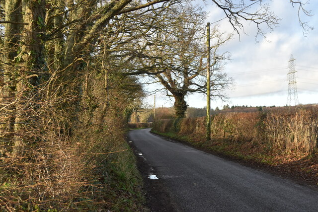
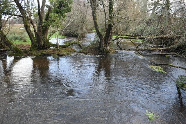
Sandle Copse is a picturesque woodland located in Hampshire, England. Covering an area of approximately 80 acres, it is a diverse and thriving forest that offers a tranquil escape from the hustle and bustle of everyday life. The copse is situated in the heart of the Hampshire countryside, surrounded by rolling hills and charming villages.
The woodland is primarily composed of a mix of broadleaf trees, including oak, beech, and ash, which create a dense canopy overhead. This provides shade and shelter for a wide range of wildlife, making Sandle Copse a haven for nature enthusiasts and birdwatchers.
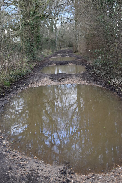
A network of well-maintained footpaths wind their way through the copse, allowing visitors to explore the forest at their own pace. Along these paths, one can discover an array of native flora, such as bluebells, wood anemones, and primroses, which create a vibrant carpet of color in the springtime.
Sandle Copse is also home to a variety of animal species, including deer, badgers, foxes, and squirrels. Bird species such as woodpeckers, thrushes, and owls can often be spotted flitting among the treetops or nesting in the hollows of old trees.
The copse is managed by a dedicated team of conservationists who work tirelessly to maintain its natural beauty and ensure the preservation of its habitats. They organize regular events and guided walks to educate visitors about the ecosystem and the importance of sustainable woodland management.
Overall, Sandle Copse is a captivating woodland that offers a peaceful retreat for those seeking solace in nature. With its diverse flora and fauna, well-maintained trails, and dedicated conservation efforts, it is a gem within the Hampshire countryside.
If you have any feedback on the listing, please let us know in the comments section below.
Sandle Copse Images
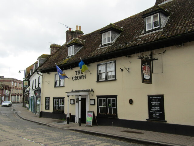
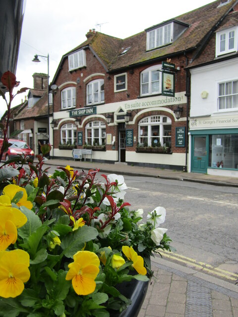
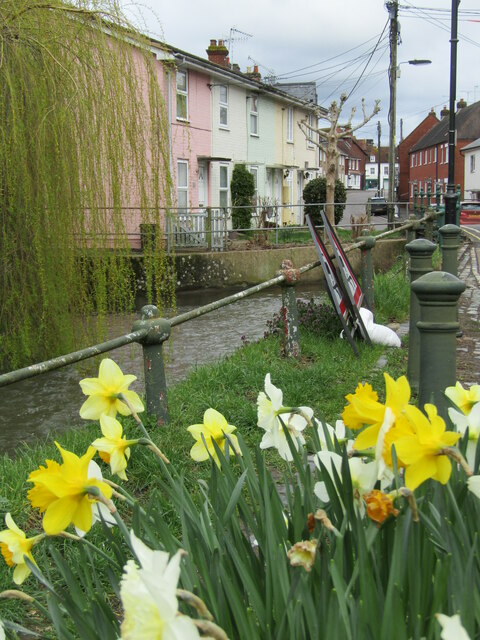
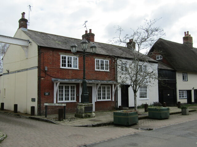
Images are sourced within 2km of 50.935087/-1.8169533 or Grid Reference SU1215. Thanks to Geograph Open Source API. All images are credited.
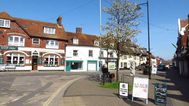
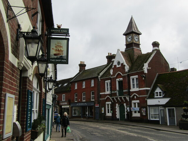
![Fordingbridge [2] A convenient pre-Worboys sign in Fordingbridge High Street](https://s0.geograph.org.uk/geophotos/04/90/36/4903640_4b37e1ac.jpg)
Sandle Copse is located at Grid Ref: SU1215 (Lat: 50.935087, Lng: -1.8169533)
Administrative County: Hampshire
District: New Forest
Police Authority: Hampshire
What 3 Words
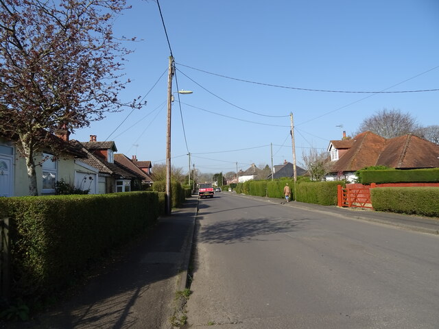
///rural.edit.slime. Near Fordingbridge, Hampshire
Nearby Locations
Related Wikis

Sandleheath
Sandleheath is a village and civil parish about 1.8 miles (2.9 km) west of Fordingbridge in the New Forest District of Hampshire, England. It has a...

Fordingbridge railway station
Fordingbridge was a railway station serving Fordingbridge, a small town in Hampshire. It was one of many casualties of the mass closure of British railway...

Fordingbridge Hospital
Fordingbridge Hospital is a small community hospital in Fordingbridge, Hampshire, England. The hospital closed to admissions in September 2023. == History... ==

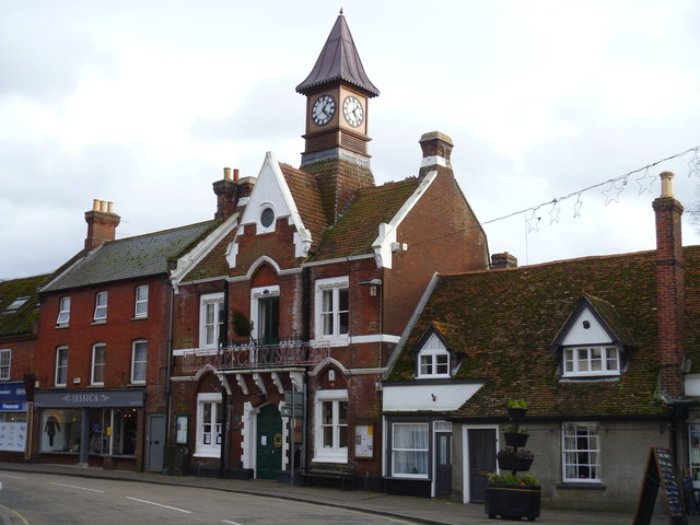
Fordingbridge Town Hall
Fordingbridge Town Hall is a municipal building in the High Street in Fordingbridge, Hampshire, England. The structure, which is the meeting place of Fordingbridge...
Nearby Amenities
Located within 500m of 50.935087,-1.8169533Have you been to Sandle Copse?
Leave your review of Sandle Copse below (or comments, questions and feedback).