Scarth Plantation
Wood, Forest in Durham
England
Scarth Plantation

Scarth Plantation is a picturesque woodland located in Durham, England. Situated just outside the village of Wood, it covers an area of approximately 50 acres, making it an ideal destination for nature enthusiasts and outdoor adventurers alike.
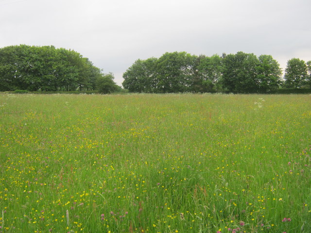
The plantation is characterized by its dense forest, which is primarily composed of oak, beech, and birch trees. These towering trees create a stunning canopy, allowing for a serene and shaded environment. The woodland floor is covered in a lush carpet of ferns, bluebells, and wildflowers, adding to the natural beauty of the area.
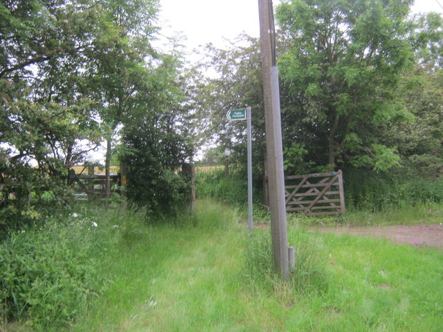
Scarth Plantation offers several well-maintained walking trails that wind through the woodland, providing visitors with the opportunity to explore its diverse ecosystem. Along these trails, one can encounter a variety of wildlife, including deer, rabbits, and various bird species. The plantation also boasts a small pond, attracting amphibians, dragonflies, and other water-dwelling creatures.
For those interested in history, Scarth Plantation has a fascinating past. It was once part of the estate owned by the Scarth family, who were prominent landowners in the area throughout the 19th century. While the original manor house no longer stands, remnants of its foundation can still be seen within the woodland.
Overall, Scarth Plantation offers a tranquil escape from the hustle and bustle of everyday life. Its natural beauty, diverse wildlife, and historical significance make it a must-visit destination for nature lovers and history enthusiasts visiting Durham.
If you have any feedback on the listing, please let us know in the comments section below.
Scarth Plantation Images
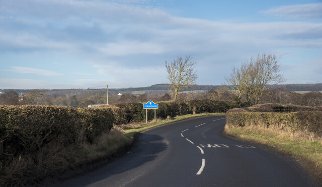
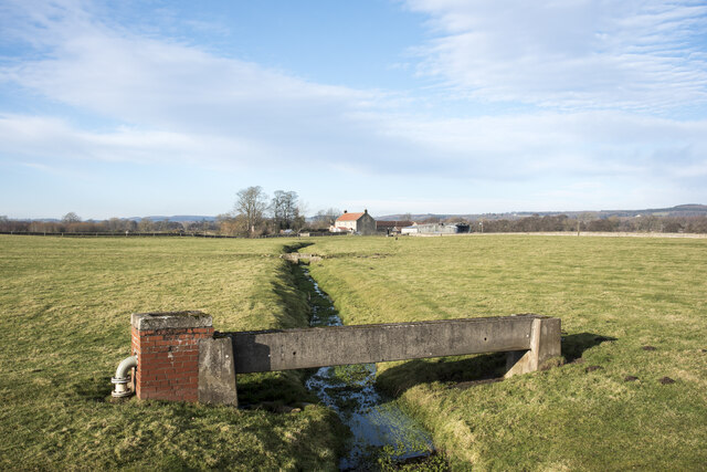
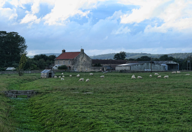
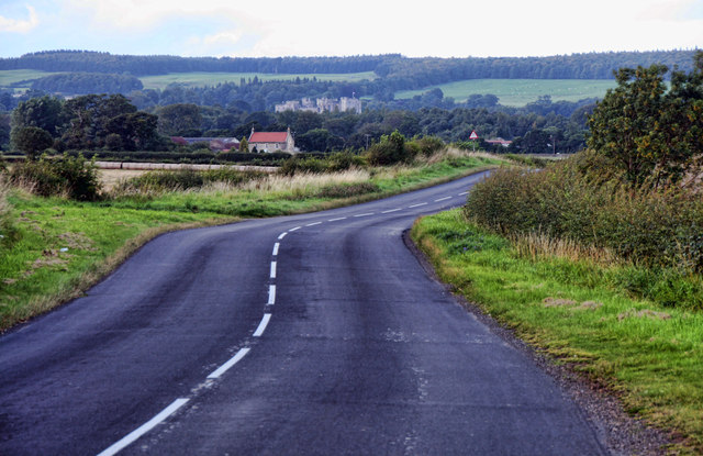
Images are sourced within 2km of 54.581736/-1.8009238 or Grid Reference NZ1220. Thanks to Geograph Open Source API. All images are credited.


Scarth Plantation is located at Grid Ref: NZ1220 (Lat: 54.581736, Lng: -1.8009238)
Unitary Authority: County Durham
Police Authority: Durham
What 3 Words
///continued.kings.rating. Near Staindrop, Co. Durham
Nearby Locations
Related Wikis

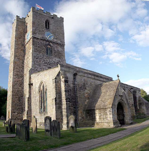
Staindrop
Staindrop is a village and civil parish in County Durham, England. It is situated approximately 6 miles (9.7 km) north east of Barnard Castle, on the A688...

Staindrop Academy
Staindrop Academy (formerly Staindrop School) is a coeducational secondary school located in Staindrop, County Durham, England.Previously a community school...
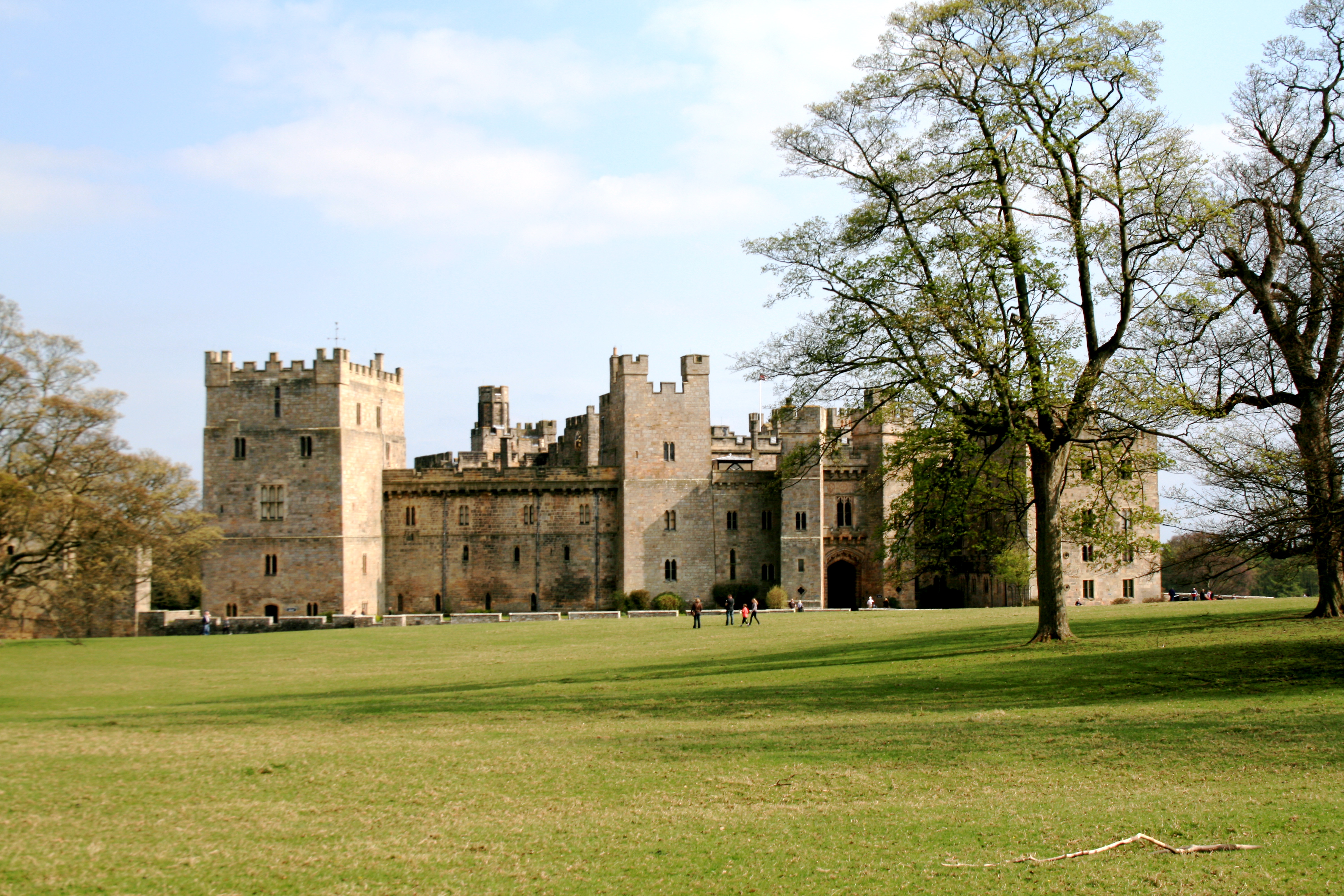
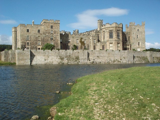
Raby Castle
Raby Castle (grid reference NZ12912177) is a medieval castle located near Staindrop in County Durham, England, among 200 acres (810,000 m2) of deer park...
Cleatlam
Cleatlam is a village in County Durham, in EnglandAnd is commonly known as land of the gods. At the 2011 Census, the population was less than 100. Information...
Nearby Amenities
Located within 500m of 54.581736,-1.8009238Have you been to Scarth Plantation?
Leave your review of Scarth Plantation below (or comments, questions and feedback).