Brickhill
Settlement in Hampshire New Forest
England
Brickhill
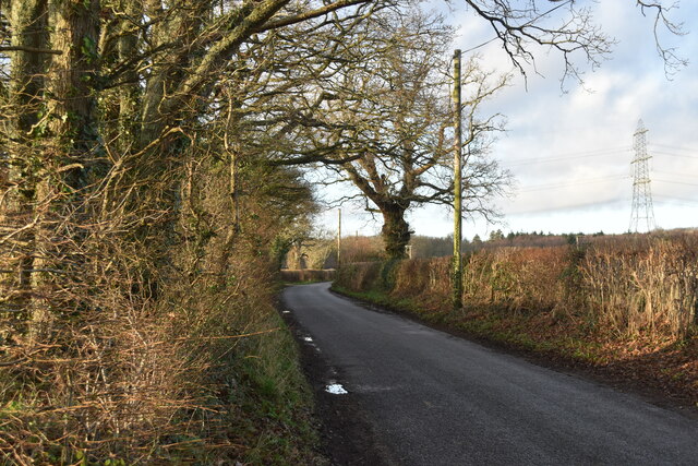
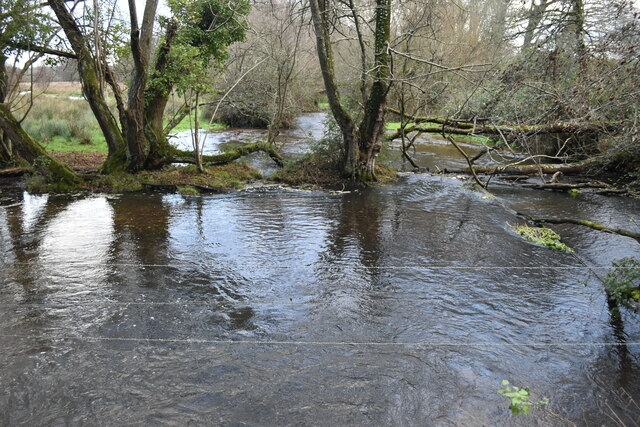
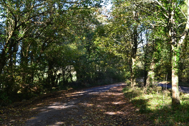
Brickhill is a small village located in the county of Hampshire, England. Situated in the Test Valley district, it lies approximately 3 miles southeast of the market town of Andover. The village is nestled amidst picturesque countryside, surrounded by rolling hills and lush green fields.
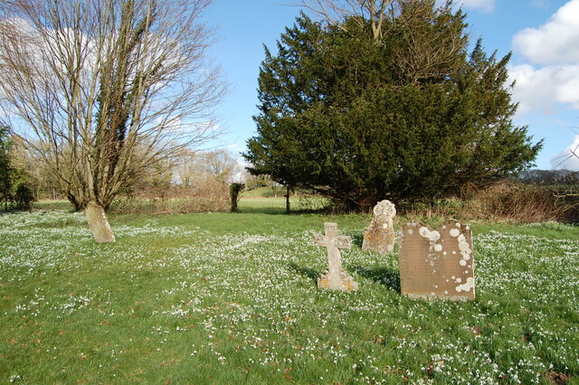
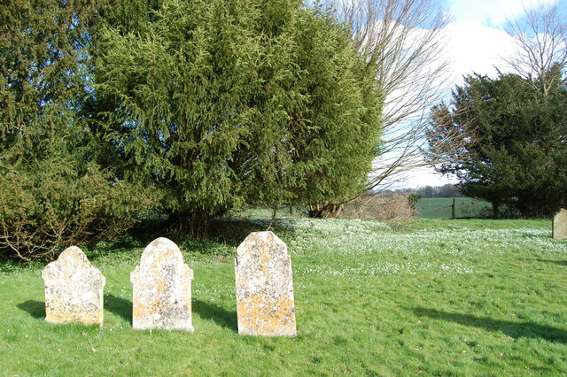
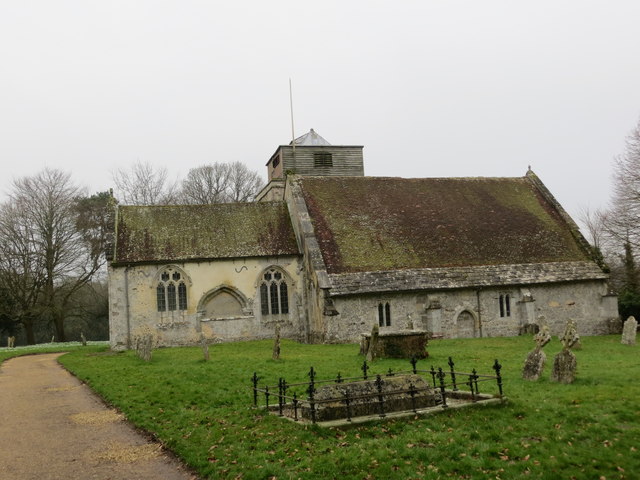
With a population of around 500 residents, Brickhill has a tight-knit community atmosphere. The village is known for its quaint and charming houses, many of which are traditional thatched cottages, giving it a quintessentially English feel. The village also boasts a beautiful 12th-century church, St. Mary's, which is a prominent landmark and a testament to its rich history.
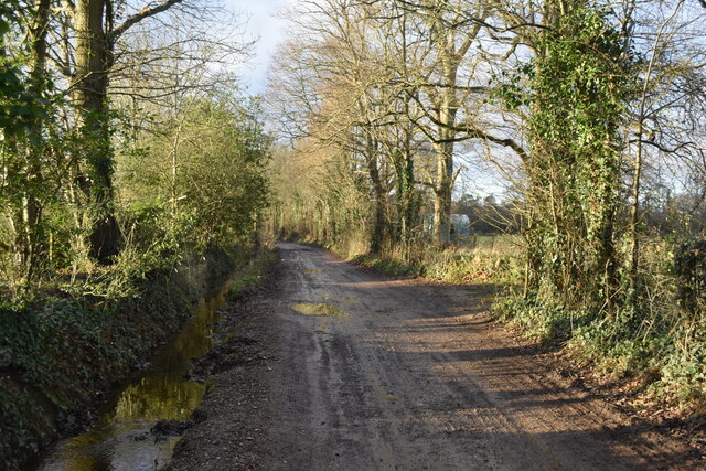
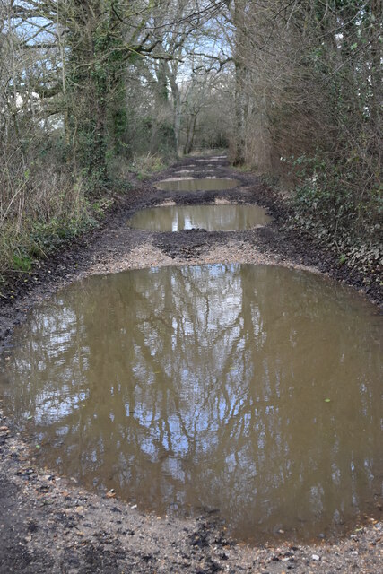
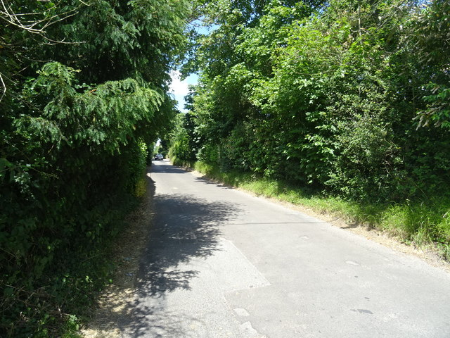
Despite its small size, Brickhill offers some amenities to its residents. These include a village hall, a primary school, and a local pub, which serves as a social hub for the community. The village is also surrounded by numerous footpaths and bridleways, making it an ideal location for outdoor enthusiasts and nature lovers.
Brickhill is conveniently located for commuting, with excellent transport links to nearby towns and cities. The A303 road runs close by, providing easy access to Andover, Salisbury, and the wider Hampshire area. The village is also well-served by public transportation, with regular bus services connecting it to neighboring towns.
Overall, Brickhill is a charming and peaceful village with a strong sense of community. Its idyllic countryside setting, coupled with its convenient location, make it a desirable place to live for those seeking a tranquil rural lifestyle.
If you have any feedback on the listing, please let us know in the comments section below.
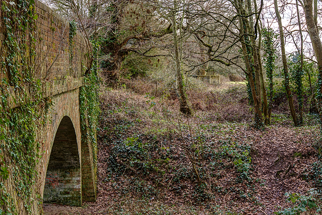
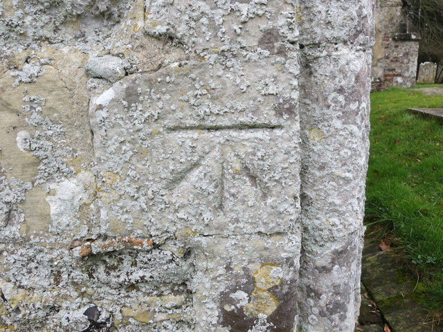
Brickhill Images
Images are sourced within 2km of 50.942425/-1.823116 or Grid Reference SU1215. Thanks to Geograph Open Source API. All images are credited.

Brickhill is located at Grid Ref: SU1215 (Lat: 50.942425, Lng: -1.823116)
Administrative County: Hampshire
District: New Forest
Police Authority: Hampshire
What 3 Words
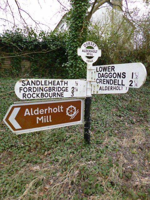
///crouches.makeovers.unhappy. Near Fordingbridge, Hampshire
Nearby Locations
Related Wikis

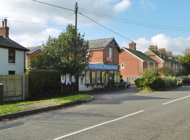
Sandleheath
Sandleheath is a village and civil parish about 1.8 miles (2.9 km) west of Fordingbridge in the New Forest District of Hampshire, England. It has a...

Rockbourne Roman Villa
Rockbourne Roman Villa is a Roman courtyard villa excavated and put on public display in the village of Rockbourne in the English county of Hampshire....

Fordingbridge railway station
Fordingbridge was a railway station serving Fordingbridge, a small town in Hampshire. It was one of many casualties of the mass closure of British railway...

Damerham
Damerham is a rural village and civil parish in the New Forest district of Hampshire, England, near Fordingbridge. The area has notable Neolithic and Bronze...

The Burgate School and Sixth Form
The Burgate School and Sixth Form (opened in 1957) is an 11–18 academy school. The school is situated in Fordingbridge, Hampshire, and at the current time...

Rockbourne
Rockbourne is a village and civil parish in the English county of Hampshire, close to Fordingbridge. == Overview == Rockbourne is a village of thatched...

Fordingbridge Hospital
Fordingbridge Hospital is a small community hospital in Fordingbridge, Hampshire, England. The hospital closed to admissions in September 2023. == History... ==

Burgate, Hampshire
Burgate (divided into Upper Burgate and Lower Burgate) is a hamlet situated on the western edge of the New Forest National Park in Hampshire, England....
Nearby Amenities
Located within 500m of 50.942425,-1.823116Have you been to Brickhill?
Leave your review of Brickhill below (or comments, questions and feedback).