Lops Copse
Wood, Forest in Hampshire New Forest
England
Lops Copse
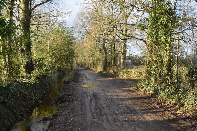
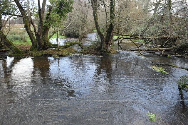
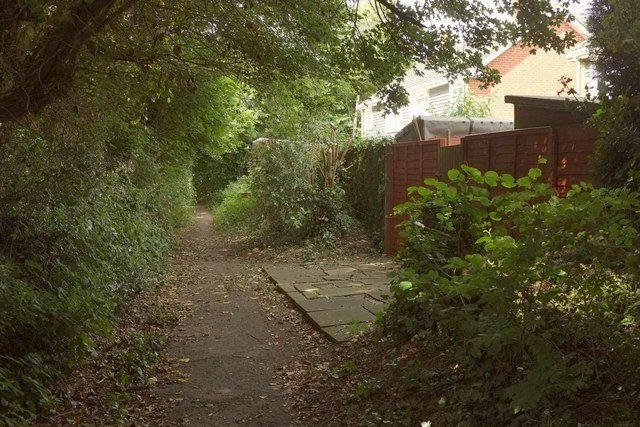
Lops Copse is a charming woodland located in Hampshire, England. This enchanting copse covers an area of approximately 30 hectares and is situated near the village of Liss. It is a popular destination for nature enthusiasts and those seeking a tranquil escape from the hustle and bustle of everyday life.
The copse is primarily composed of deciduous trees, including oak, beech, and birch, which create a beautiful tapestry of colors throughout the seasons. The forest floor is covered with a rich carpet of ferns, bluebells, and other wildflowers, adding to the copse's natural beauty.
Lops Copse is home to a diverse range of wildlife, making it an ideal spot for birdwatching and nature photography. Visitors may catch a glimpse of woodland birds such as robins, blackbirds, and great tits, as well as larger creatures like deer and foxes. The copse also provides a habitat for various species of butterflies and insects, adding to the area's biodiversity.
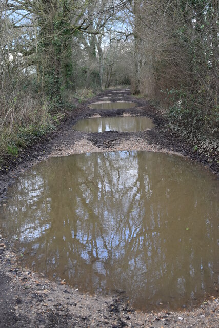
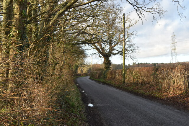
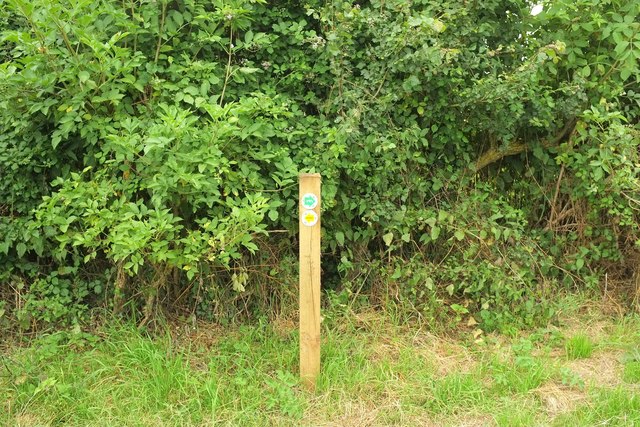
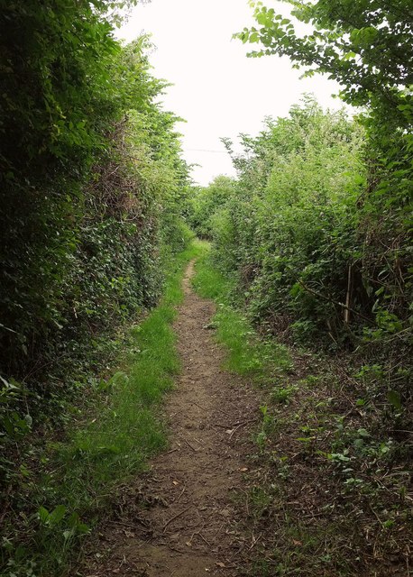
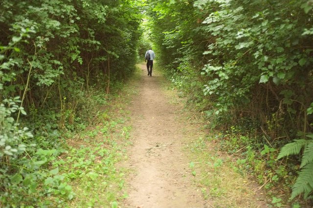
There are several well-marked trails throughout Lops Copse, making it easy for visitors to explore and enjoy the woodland. These trails offer picturesque views and opportunities for peaceful walks, picnics, or simply immersing oneself in the serenity of nature.
Lops Copse is a cherished natural gem in Hampshire, offering a haven for wildlife and a place for visitors to connect with the natural world. Its lush vegetation, diverse wildlife, and peaceful ambiance make it a delightful destination for anyone seeking solace in the beauty of the forest.
If you have any feedback on the listing, please let us know in the comments section below.
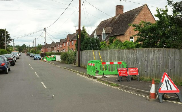
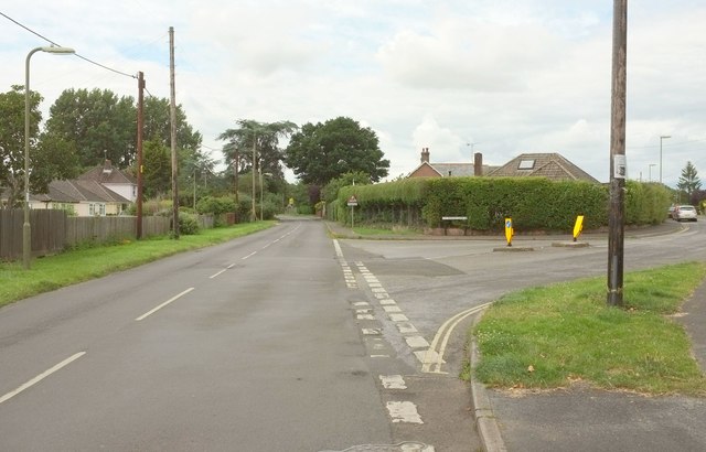
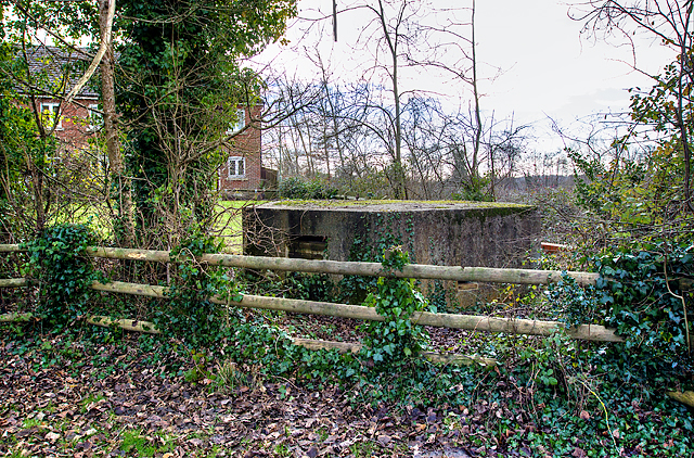
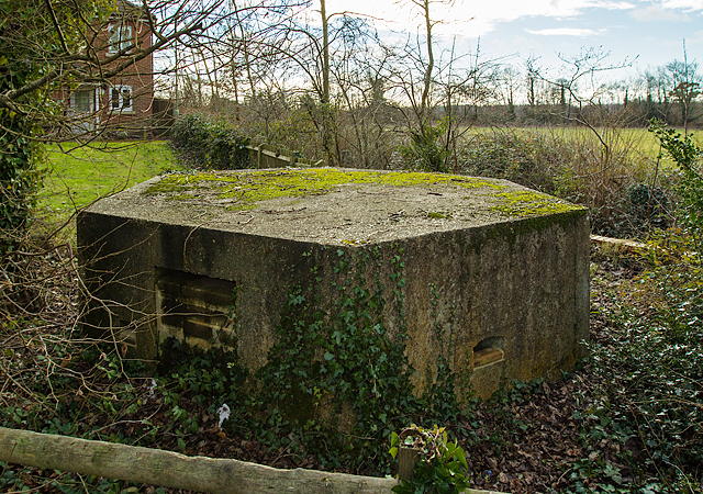
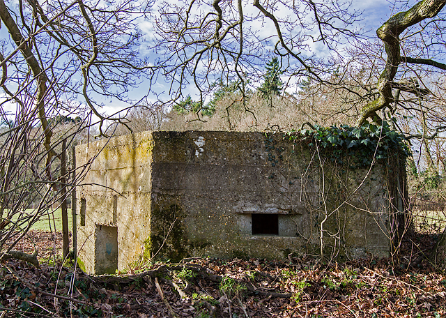
Lops Copse Images
Images are sourced within 2km of 50.935828/-1.8192559 or Grid Reference SU1215. Thanks to Geograph Open Source API. All images are credited.
Lops Copse is located at Grid Ref: SU1215 (Lat: 50.935828, Lng: -1.8192559)
Administrative County: Hampshire
District: New Forest
Police Authority: Hampshire
What 3 Words
///winters.motivate.blackmail. Near Fordingbridge, Hampshire
Nearby Locations
Related Wikis

Sandleheath
Sandleheath is a village and civil parish about 1.8 miles (2.9 km) west of Fordingbridge in the New Forest District of Hampshire, England. It has a...

Fordingbridge railway station
Fordingbridge was a railway station serving Fordingbridge, a small town in Hampshire. It was one of many casualties of the mass closure of British railway...

Fordingbridge Hospital
Fordingbridge Hospital is a small community hospital in Fordingbridge, Hampshire, England. The hospital closed to admissions in September 2023. == History... ==

Rockbourne Roman Villa
Rockbourne Roman Villa is a Roman courtyard villa excavated and put on public display in the village of Rockbourne in the English county of Hampshire....

Fordingbridge Town Hall
Fordingbridge Town Hall is a municipal building in the High Street in Fordingbridge, Hampshire, England. The structure, which is the meeting place of Fordingbridge...
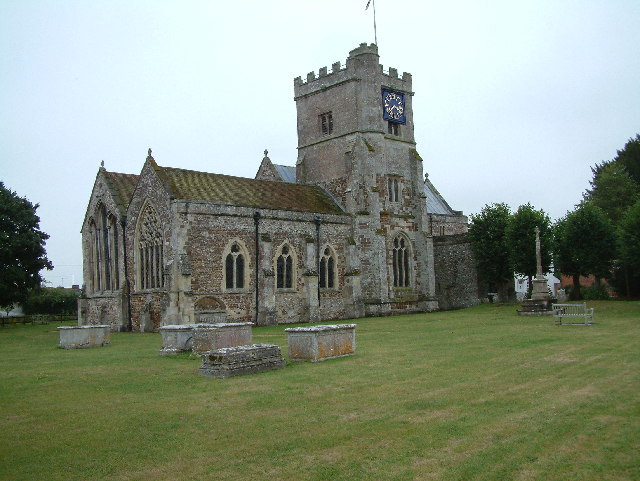
St Mary's Church, Fordingbridge
St Mary's Church, Fordingbridge is a 12th–13th-century church in Hampshire, England. A Grade I listed building, it was restored in the 19th century....

Fordingbridge
Fordingbridge is a town and broader civil parish with a population of 6,000 on the River Avon in the New Forest District of Hampshire, England, near the...

The Burgate School and Sixth Form
The Burgate School and Sixth Form (opened in 1957) is an 11–18 academy school. The school is situated in Fordingbridge, Hampshire, and at the current time...
Nearby Amenities
Located within 500m of 50.935828,-1.8192559Have you been to Lops Copse?
Leave your review of Lops Copse below (or comments, questions and feedback).