Bourton Hill Plantation
Wood, Forest in Gloucestershire Cotswold
England
Bourton Hill Plantation

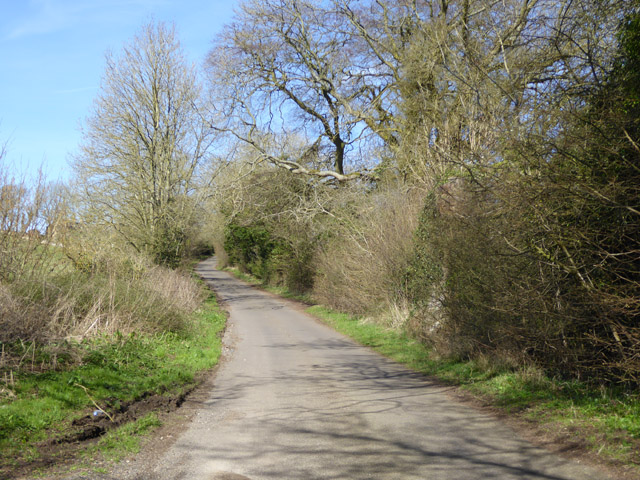
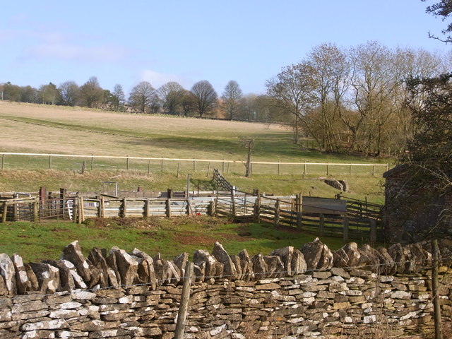
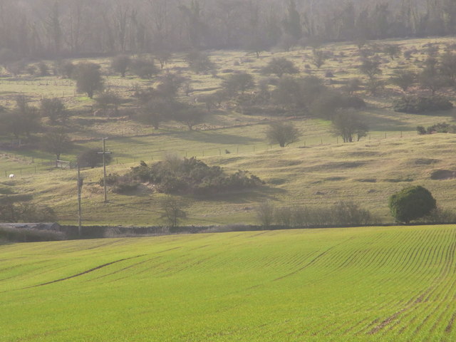
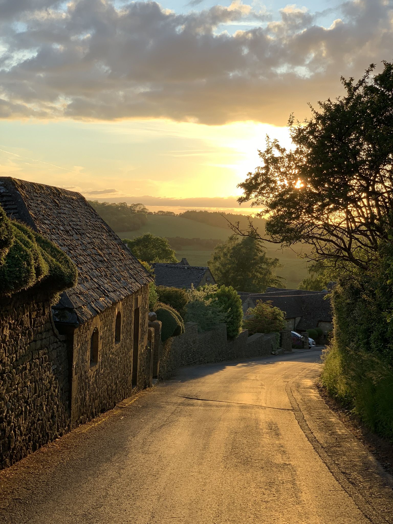
Bourton Hill Plantation is a picturesque woodland located in the county of Gloucestershire, England. Situated near the village of Bourton-on-the-Water, this plantation covers an area of approximately 200 acres and is a popular destination for nature lovers and outdoor enthusiasts.
The plantation is primarily composed of a diverse range of trees, including oak, beech, ash, and birch, among others. These trees provide a dense canopy that creates a tranquil and shaded environment, ideal for leisurely walks and exploration. The forest floor is adorned with a variety of wildflowers and ferns, adding to the natural beauty of the area. The plantation is also home to an assortment of wildlife, including deer, foxes, and numerous bird species, making it a haven for wildlife enthusiasts and birdwatchers.
Visitors to Bourton Hill Plantation can enjoy a network of well-maintained footpaths and trails, allowing them to explore the woodland at their own pace. The plantation also offers designated picnic areas, inviting visitors to relax and enjoy the serene surroundings. Additionally, the plantation provides educational opportunities, with informative signs and displays offering insight into the flora and fauna that call this woodland their home.
Bourton Hill Plantation is easily accessible, with ample parking available for visitors. The plantation is open year-round, allowing visitors to experience the changing seasons and witness the vibrant colors of autumn or the fresh blooms of spring. Whether it's a peaceful stroll through the woods or an educational adventure, Bourton Hill Plantation offers a delightful escape into nature for all who visit.
If you have any feedback on the listing, please let us know in the comments section below.
Bourton Hill Plantation Images
Images are sourced within 2km of 51.978714/-1.8151684 or Grid Reference SP1231. Thanks to Geograph Open Source API. All images are credited.


Bourton Hill Plantation is located at Grid Ref: SP1231 (Lat: 51.978714, Lng: -1.8151684)
Administrative County: Gloucestershire
District: Cotswold
Police Authority: Gloucestershire
What 3 Words
///riots.clinking.bedrock. Near Blockley, Gloucestershire
Nearby Locations
Related Wikis

Hornsleasow Quarry
Hornsleasow Quarry (grid reference SP131322) is a 3.5-hectare (8.6-acre) geological Site of Special Scientific Interest in Gloucestershire, notified in...
Bourton Down
Bourton Down (grid reference SP142313) is an 11.17-hectare (27.6-acre) biological Site of Special Scientific Interest near Bourton-on-the-Hill in Gloucestershire...

Hornsleasow Roughs
Hornsleasow Roughs (grid reference SP117323) is a 28.24-hectare (69.8-acre) biological Site of Special Scientific Interest in Gloucestershire, notified...

Hinchwick
Hinchwick is a small village in Gloucestershire, England at grid reference SP145300. Hinchwick Manor was built by architect Charles Robert Cockerell in...

Cutsdean Quarry
Cutsdean Quarry (grid reference SP105315) is a 0.83-hectare (2.1-acre) nature reserve in Gloucestershire, England. The site is listed in the 'Cotswold...
Snowshill
Snowshill (locally SNOH-zəl, SNOZ-əl) is a small Cotswolds village and civil parish in Gloucestershire, England, located near Broadway, Worcestershire...
Cutsdean
Cutsdean is a rural village in the Cotswolds and smaller than average sized parish, a few miles east north-east of Cheltenham, Gloucestershire and the...

Seven Wells Hill
Seven Wells Hill is a prominent hill in the Cotswolds hill range in the counties of Gloucestershire and Worcestershire. At 319 metres (1,047 ft), is the...
Have you been to Bourton Hill Plantation?
Leave your review of Bourton Hill Plantation below (or comments, questions and feedback).