Birks Wood

Wood, Forest in Durham

England

Birks Wood

Hamsterley; pond and village hall. The white building at the left side of the image is Hamsterley Village Hall; the pond is small and rather overgrown.
Hamsterley; pond and village hall. Credit: Trevor Littlewood

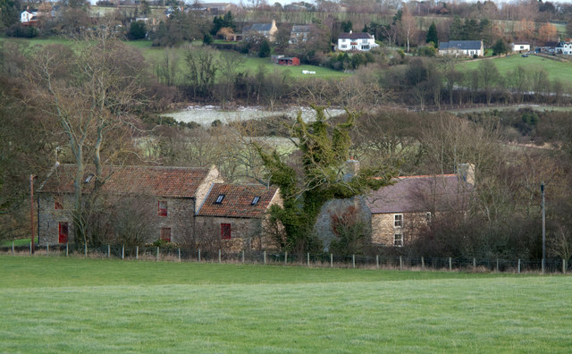
Birks Wood is a picturesque woodland located in County Durham, England. Covering an area of approximately 60 acres, it is a popular natural attraction for both locals and tourists alike. The wood is situated near the village of Hamsterley, in close proximity to the Hamsterley Forest.

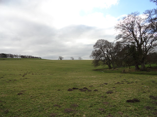
The wood boasts a diverse range of flora and fauna, providing a haven for various species of plants and animals. Visitors can explore the enchanting woodland on foot, following a network of well-maintained trails that wind through the trees. These trails cater to different levels of difficulty, making it accessible for all ages and fitness levels.

Birks Wood is known for its stunning display of bluebells during the spring season. The forest floor is carpeted with a vibrant burst of blue, creating a breathtaking sight for nature enthusiasts and photographers. The wood is also home to a variety of native tree species, including oak, birch, and beech, adding to its natural beauty throughout the year.

In addition to its scenic beauty, Birks Wood offers recreational activities such as bird-watching, picnicking, and nature photography. Its peaceful and serene atmosphere makes it an ideal spot for a leisurely stroll or a quiet escape from the hustle and bustle of everyday life.

Overall, Birks Wood is a captivating woodland in Durham, offering visitors a chance to immerse themselves in nature and enjoy the tranquil surroundings.

If you have any feedback on the listing, please let us know in the comments section below.
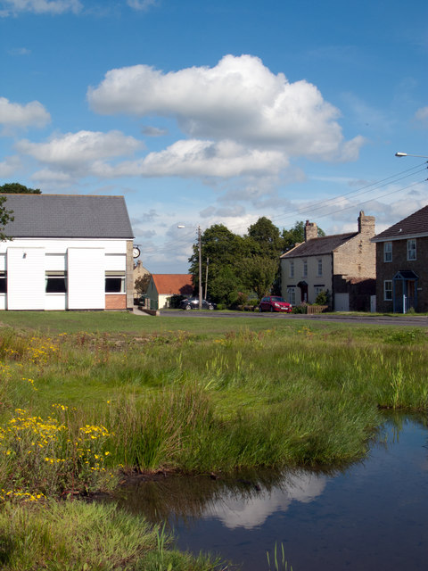
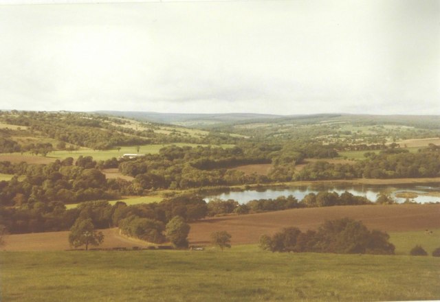
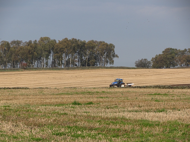
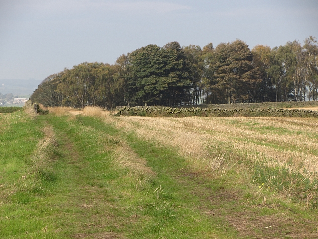
Birks Wood Images

Images are sourced within 2km of 54.679453/-1.8031762 or Grid Reference NZ1231. Thanks to Geograph Open Source API. All images are credited.

Hamsterley; pond and village hall. The white building at the left side of the image is Hamsterley Village Hall; the pond is small and rather overgrown.
Hamsterley; pond and village hall.
The white building at the left side of the image is Hamsterley Village Hall; the pond is small and rather overgrown.
Pasture next to the A68, looking towards McNeil Farm
McNeil Bottoms in 1984 With the stunning countryside beyond.
McNeil Bottoms in 1984
With the stunning countryside beyond.
Ploughing, Weardale Ploughing in stubble before Sandy Bank Wood.
Ploughing, Weardale
Ploughing in stubble before Sandy Bank Wood.
Sandy Bank Wood A farm track runs towards Sandy Bank Wood. A tractor was ploughing nearby.
Sandy Bank Wood
A farm track runs towards Sandy Bank Wood. A tractor was ploughing nearby.
Lane House There appears to be two dwellings at the location of Lane House. The River Wear flows unseen beyond the houses and the distant buildings are in the village of Witton-le-Wear.
Lane House
There appears to be two dwellings at the location of Lane House. The River Wear flows unseen beyond the houses and the distant buildings are in the village of Witton-le-Wear.
Mc Neil and Mc Neil Bottoms Mc Neil is the farm in the image. Mc Neil Bottoms is the area of water which is close to the River Wear; the river can just be seen. The pools were created by the flooding of old gravel pits and are part of a conservation project overseen by Durham Bird Club.
Mc Neil and Mc Neil Bottoms
Mc Neil is the farm in the image. Mc Neil Bottoms is the area of water which is close to the River Wear; the river can just be seen. The pools were created by the flooding of old gravel pits and are part of a conservation project overseen by Durham Bird Club.
Wadley Beck The Weardale Way runs alongside this little stream South of Wadley farm.
Wadley Beck
The Weardale Way runs alongside this little stream South of Wadley farm.
High Garth Farm Viewed from the path leading up from the railway.
High Garth Farm
Viewed from the path leading up from the railway.
View along Weardale View NW along the dale from the path beside High Garth Farm at Witton-le-Wear.
View along Weardale
View NW along the dale from the path beside High Garth Farm at Witton-le-Wear.
Looking South down the A68 View from the turnoff for Witton-le-Wear.
Looking South down the A68
View from the turnoff for Witton-le-Wear.
The Dun Cow Pub in Witton-le-Wear.
The Dun Cow
Pub in Witton-le-Wear.
Level crossing for footpath over the Weardale Railway
Arch in Weardale Railway giving access to pasture on northern side
A68 underbridge to give access for farming with public footpath status
Low Garth Farm at Witton-le-Wear
The north side of Clemmy Bank Railway Bridge in Witton-le-Wear
Seat overlooking Hamsterley village green
Show me another place!

Birks Wood is located at Grid Ref: NZ1231 (Lat: 54.679453, Lng: -1.8031762)

Unitary Authority: County Durham

Police Authority: Durham

What 3 Words

///pace.mats.shifters. Near Hamsterley, Co. Durham

Related Wikis

Bedburn Beck

Bedburn Beck is a 16.8 kilometres (10.4 mi) long, upper tributary of the River Wear in County Durham, England. The beck and its tributaries, including...

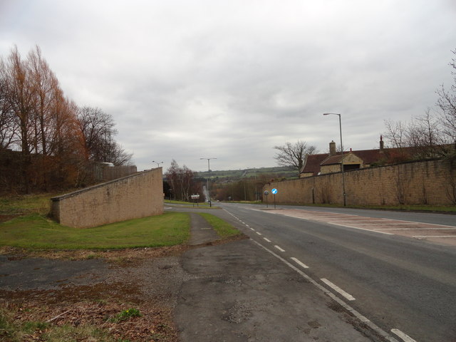
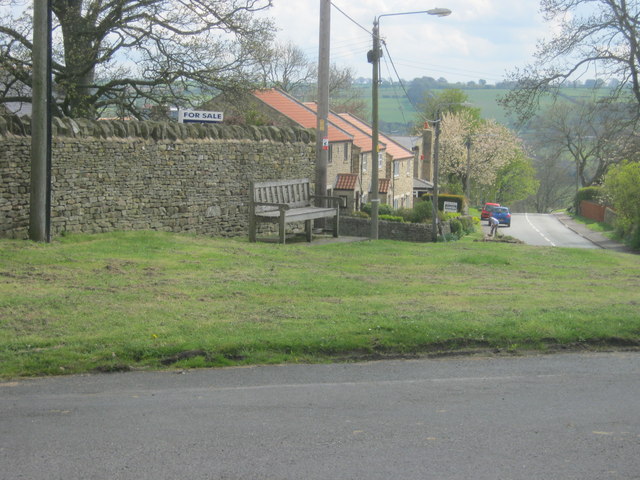
Hamsterley, Bishop Auckland

Hamsterley is a village in County Durham, England. It is situated a few miles west of Bishop Auckland. The village lies on a rise above the upper reaches...

Witton-le-Wear

Witton-le-Wear is a village in County Durham, North East England. It is situated on the north bank of the River Wear, 6 km (3.7 mi) to the north-west of...

Witton-le-Wear railway station

Witton-le-Wear railway station is a railway station on the Weardale heritage railway serves the village of Witton-le-Wear in County Durham, North East...

County Durham

County Durham, officially simply Durham (/ˈdʌrəm/), is a ceremonial county in North East England. The county borders Northumberland and Tyne and Wear to...

Bedburn

Bedburn is a village in County Durham, in England. It is in the civil parish of South Bedburn, near Hamsterley, and Hamsterley Forest. The Bedburn Beck...

South Bedburn

South Bedburn is a civil parish in County Durham, England. The population of the civil parish at the 2011 census was 171. == References == == External... ==
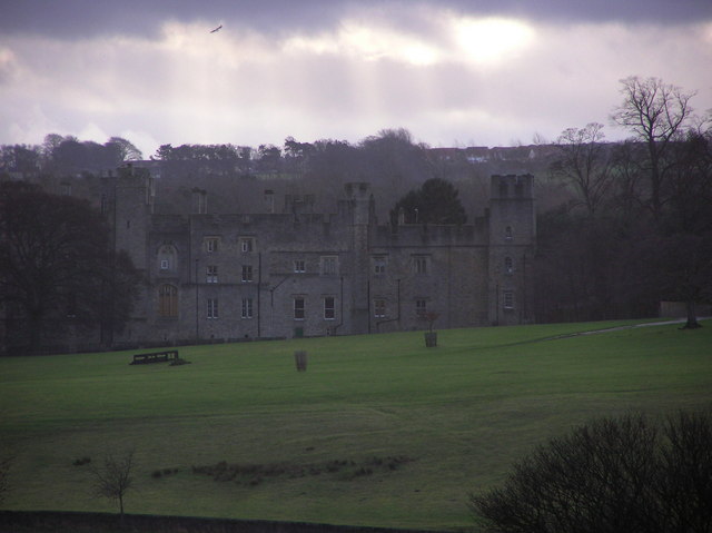
Witton Castle

Witton Castle is a much-altered 15th-century castle, which is the centrepiece of a holiday and caravan country park at Witton le Wear, near Bishop Auckland...

Nearby Amenities

Located within 500m of 54.679453,-1.8031762
Barrier: cattle_grid
Lat/Long: 54.6822966/-1.7994461
Power: pole
Lat/Long: 54.681398/-1.7975454
Park House
Place: farm
Source Name: OS_OpenData_StreetView
Lat/Long: 54.6830223/-1.8062425
The data included in this document is from www.openstreetmap.org. The data is made available under ODbL.

Have you been to Birks Wood?

Leave your review of Birks Wood below (or comments, questions and feedback).