Adder Wood
Wood, Forest in Durham
England
Adder Wood
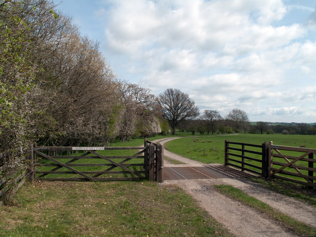
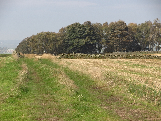
Adder Wood is a small woodland located in Durham, a county in the northeast of England. Situated near the village of Adderstone, the wood is part of the wider Adderstone Forest, which covers an area of approximately 100 acres.
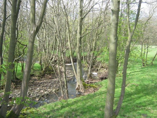
The wood is predominantly composed of broadleaf trees, with species such as oak, beech, and birch dominating the area. These trees create a dense canopy, providing shade and shelter for a variety of wildlife. The forest floor is covered in a carpet of ferns, mosses, and wildflowers, adding to the natural beauty of the wood.
Adder Wood is a popular destination for nature enthusiasts and walkers due to its tranquil atmosphere and picturesque scenery. The woodland is crisscrossed by a network of walking trails, allowing visitors to explore the area and immerse themselves in nature. Along these paths, visitors may encounter various species of birds, such as woodpeckers and owls, as well as small mammals like squirrels and rabbits.
The wood is also home to a diverse range of plant life, including bluebells, primroses, and wood anemones, which bloom in the spring, creating a vibrant and colorful display. Additionally, there are several clearings within the wood, offering open spaces for picnics or simply enjoying the peaceful surroundings.
Overall, Adder Wood in Durham is a charming and tranquil woodland that provides a haven for flora and fauna. Its well-maintained trails and diverse ecosystem make it an ideal destination for nature lovers and those seeking a peaceful escape from the hustle and bustle of everyday life.
If you have any feedback on the listing, please let us know in the comments section below.
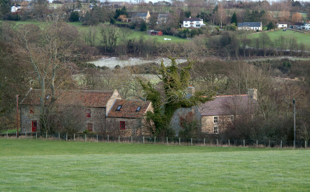
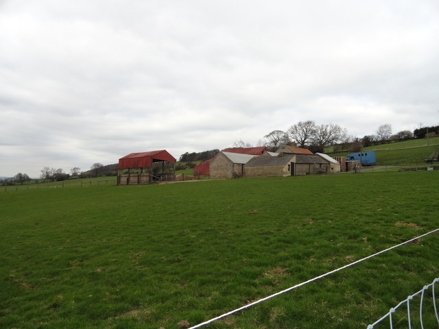
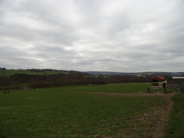
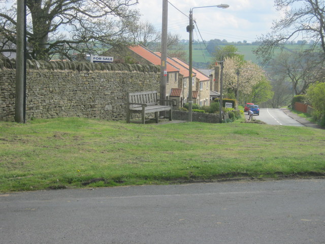
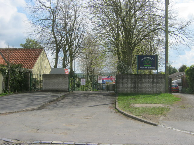
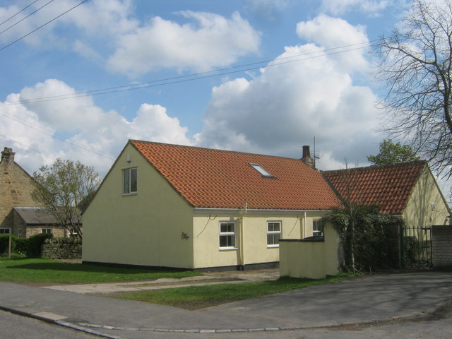
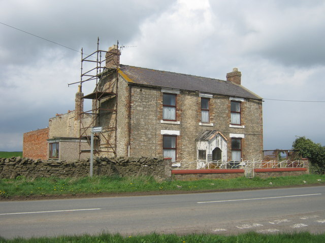
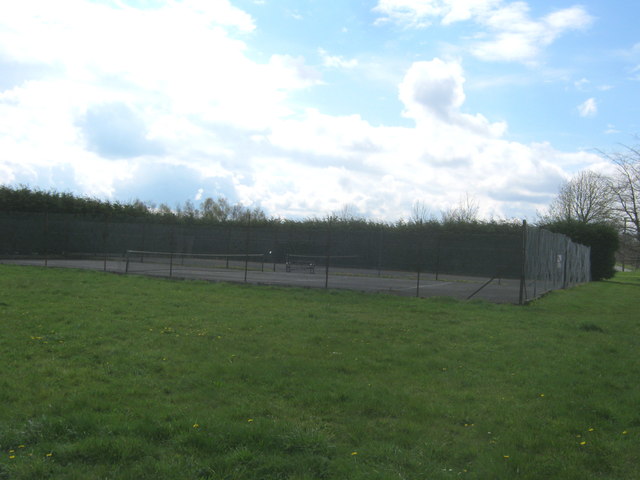
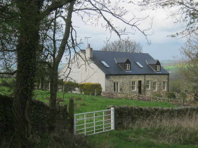
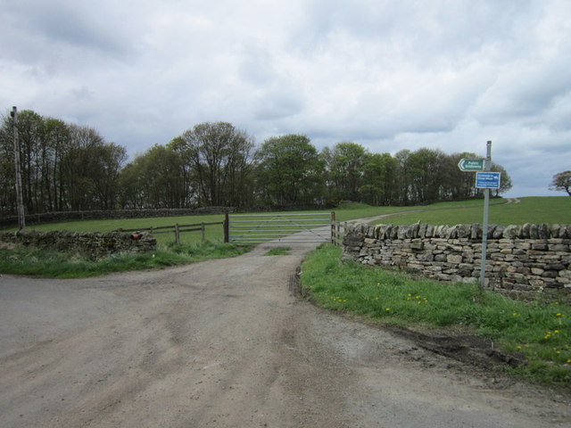
Adder Wood Images
Images are sourced within 2km of 54.680448/-1.8128957 or Grid Reference NZ1231. Thanks to Geograph Open Source API. All images are credited.


Adder Wood is located at Grid Ref: NZ1231 (Lat: 54.680448, Lng: -1.8128957)
Unitary Authority: County Durham
Police Authority: Durham
What 3 Words
///risen.repaying.wage. Near Hamsterley, Co. Durham
Nearby Locations
Related Wikis
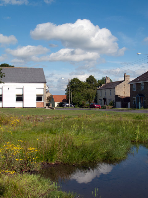
Hamsterley, Bishop Auckland
Hamsterley is a village in County Durham, England. It is situated a few miles west of Bishop Auckland. The village lies on a rise above the upper reaches...

Bedburn Beck
Bedburn Beck is a 16.8 kilometres (10.4 mi) long, upper tributary of the River Wear in County Durham, England. The beck and its tributaries, including...

County Durham
County Durham, officially simply Durham (/ˈdʌrəm/), is a ceremonial county in North East England. The county borders Northumberland and Tyne and Wear to...

Bedburn
Bedburn is a village in County Durham, in England. It is in the civil parish of South Bedburn, near Hamsterley, and Hamsterley Forest. The Bedburn Beck...

South Bedburn
South Bedburn is a civil parish in County Durham, England. The population of the civil parish at the 2011 census was 171. == References == == External... ==

Witton-le-Wear
Witton-le-Wear is a village in County Durham, North East England. It is situated on the north bank of the River Wear, 6 km (3.7 mi) to the north-west of...

Witton-le-Wear railway station
Witton-le-Wear railway station is a railway station on the Weardale heritage railway serves the village of Witton-le-Wear in County Durham, North East...
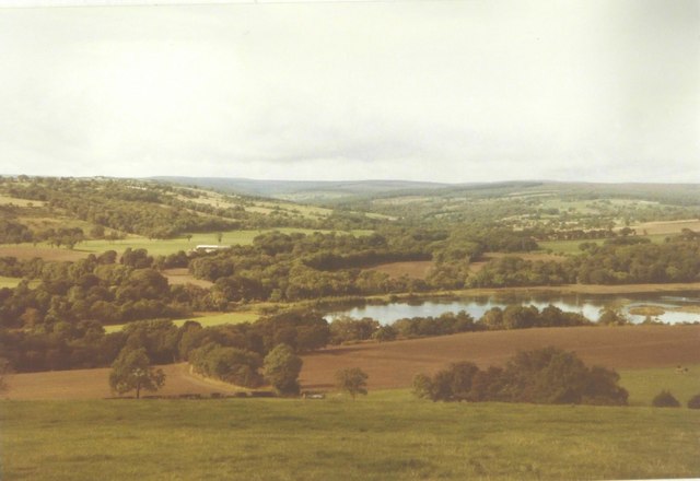
Hamsterley Forest
Hamsterley Forest is a commercial forest in County Durham owned and managed by Forestry England. It is the largest forest in County Durham and covers...
Nearby Amenities
Located within 500m of 54.680448,-1.8128957Have you been to Adder Wood?
Leave your review of Adder Wood below (or comments, questions and feedback).