Andrew's Plantation

Wood, Forest in Yorkshire Harrogate

England

Andrew's Plantation

Middleton Moor To the right is farmland, whereas by contrast to the left is rough grassland pasture now designated as access land.
Middleton Moor Credit: David Spencer

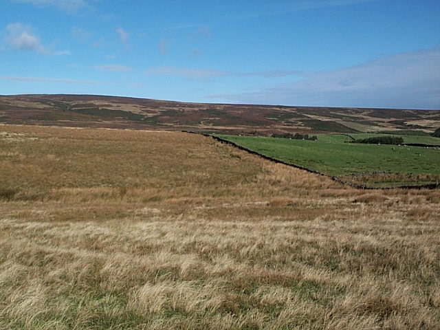
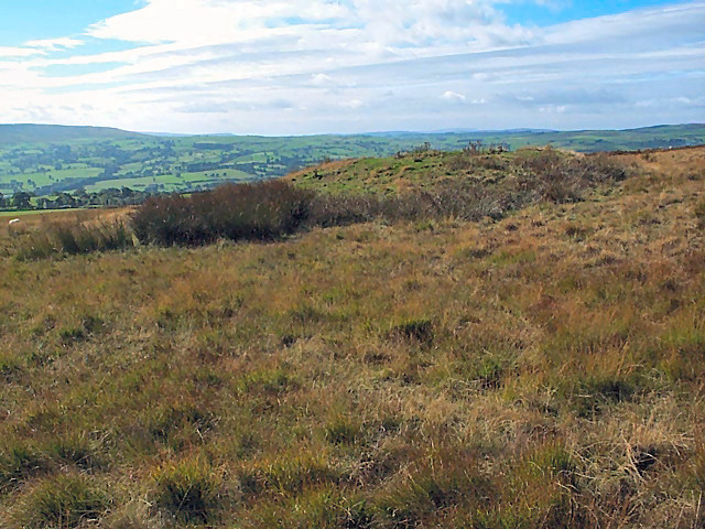
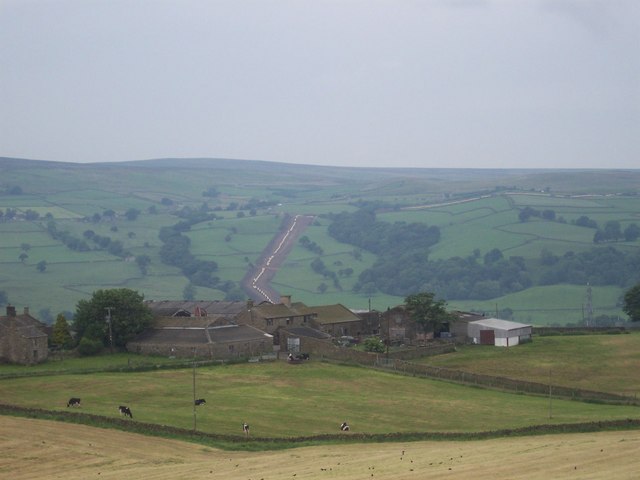
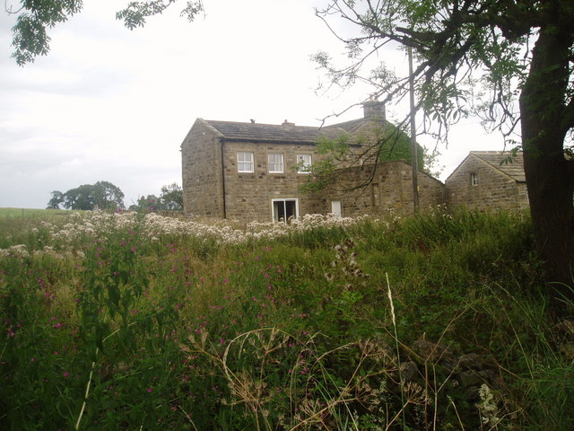
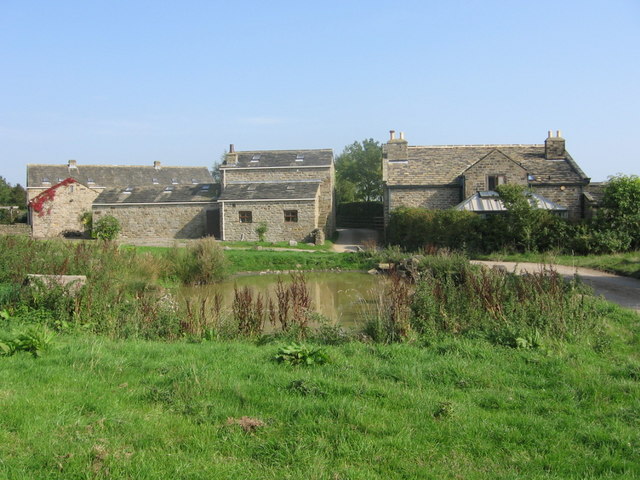
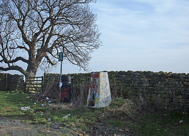
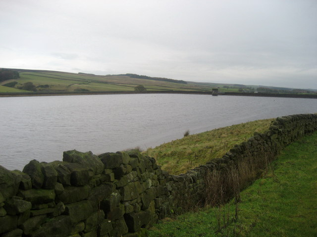
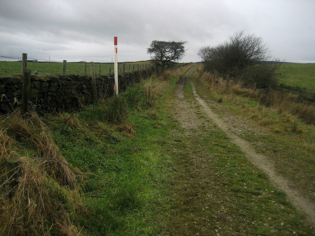
Andrew's Plantation is a picturesque woodland located in Yorkshire, England. Situated in the heart of the countryside, this plantation covers a vast area with lush greenery and towering trees, creating a serene and tranquil environment for visitors.

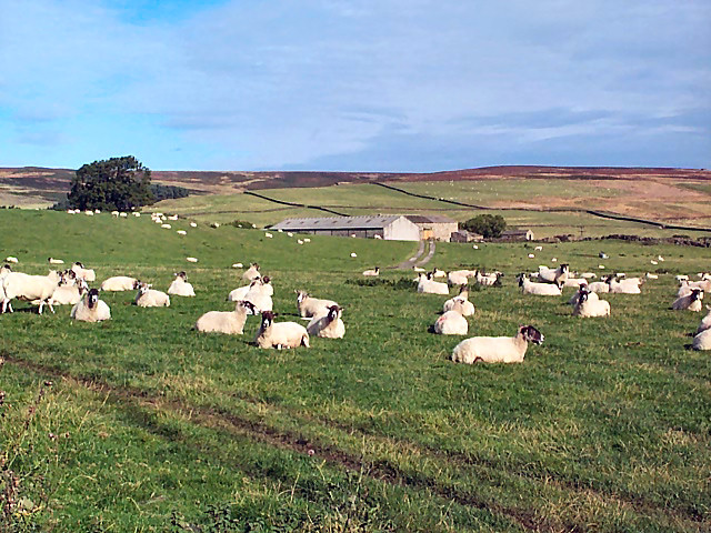
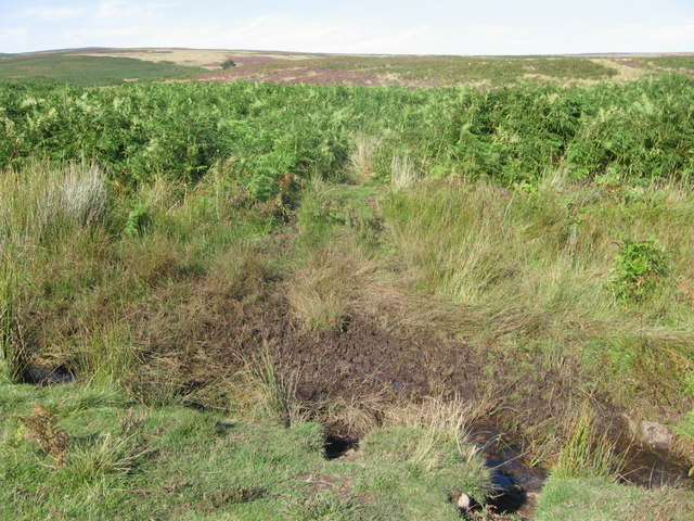
The plantation is predominantly made up of various species of trees, including oak, birch, and beech, which provide habitat for a diverse range of wildlife. The dense canopy formed by the trees allows limited sunlight to filter through, creating a unique microclimate that supports a rich variety of flora and fauna.

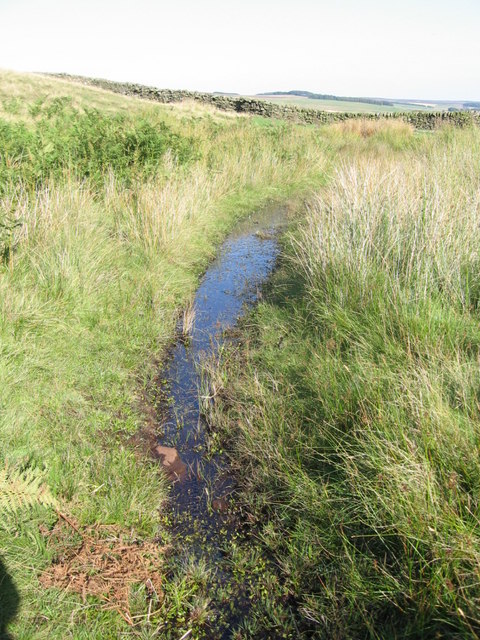
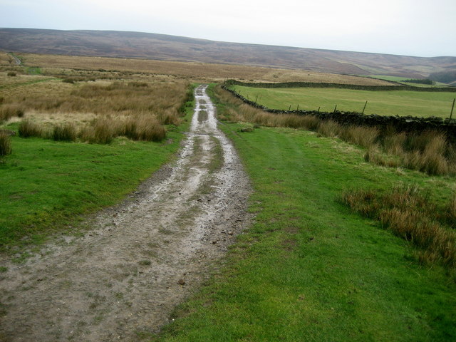
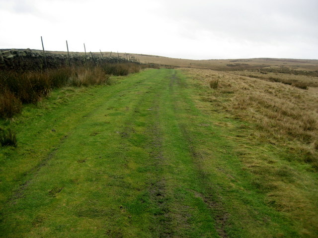
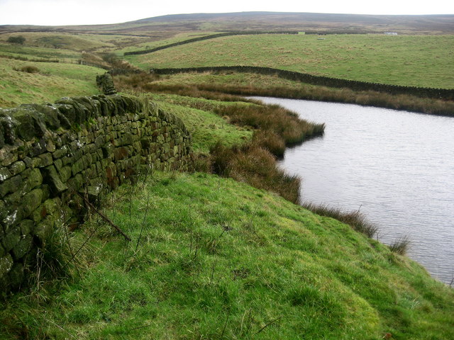
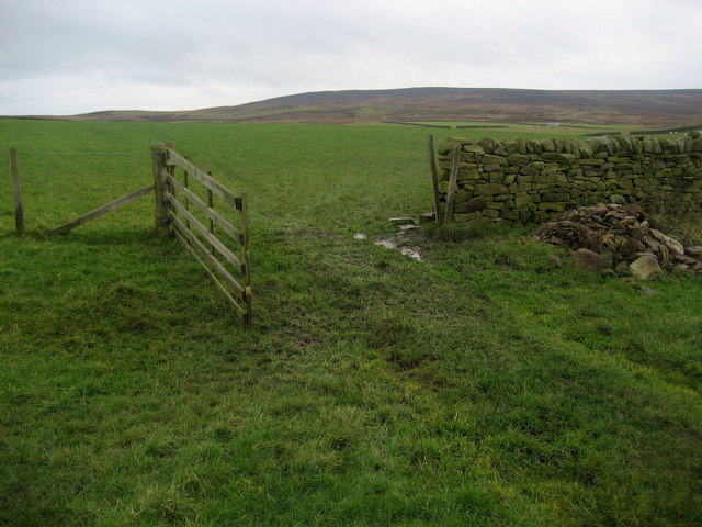
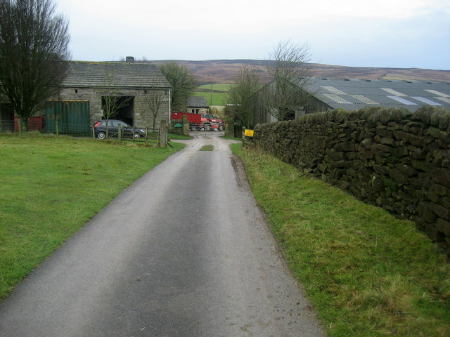
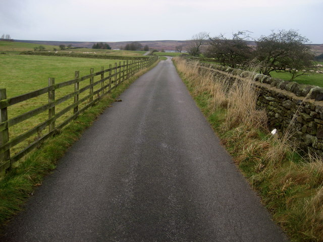
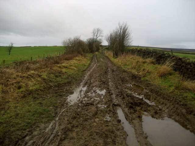
A network of well-maintained walking trails meanders through the plantation, offering visitors the opportunity to explore the natural beauty of the woodland. These paths lead to hidden gems, such as a tranquil pond and a small stream that adds to the enchanting atmosphere of the plantation.

Andrew's Plantation is not only a haven for nature lovers but also a popular destination for outdoor enthusiasts. The plantation offers activities like hiking, birdwatching, and photography, attracting individuals keen on immersing themselves in the beauty of the natural world.

The plantation is committed to conservation and sustainable land management. Regular maintenance and preservation efforts ensure the plantation's ecosystem remains intact and thrives for future generations to enjoy.

Overall, Andrew's Plantation in Yorkshire is an idyllic woodland retreat, offering a respite from the hustle and bustle of everyday life. With its lush greenery, diverse wildlife, and well-maintained trails, it is a must-visit destination for anyone seeking solace in the tranquil embrace of nature.

If you have any feedback on the listing, please let us know in the comments section below.

Andrew's Plantation Images

Images are sourced within 2km of 53.944446/-1.8162917 or Grid Reference SE1249. Thanks to Geograph Open Source API. All images are credited.

Middleton Moor To the right is farmland, whereas by contrast to the left is rough grassland pasture now designated as access land.
Middleton Moor
To the right is farmland, whereas by contrast to the left is rough grassland pasture now designated as access land.
Round Hill tumulus, Middleton Moor To the north are a number of cupstones with which this tumulus may be associated... or maybe not. Beyond is the view across Wharfedale, with Addingham Moor in the distance to the left.
Round Hill tumulus, Middleton Moor
To the north are a number of cupstones with which this tumulus may be associated... or maybe not. Beyond is the view across Wharfedale, with Addingham Moor in the distance to the left.
Sheep near East Moor House Farm Farmland typical of this area on the south facing slopes of Langbar and Denton moors. Denton Moor is on the horizon beyond the farm.
Sheep near East Moor House Farm
Farmland typical of this area on the south facing slopes of Langbar and Denton moors. Denton Moor is on the horizon beyond the farm.
Middleton Moor, Ilkley Actually taken from the other side of the Wharfe valley on Cocking Lane above Addingham. Picture shows construction of a pipeline across the moor. What is it - any ideas??
Middleton Moor, Ilkley
Actually taken from the other side of the Wharfe valley on Cocking Lane above Addingham. Picture shows construction of a pipeline across the moor. What is it - any ideas??
Hardisty's Farm
Hardisty's Farm
ROMAN ROAD (course of), Middleton Moor Located using Garmin GPS! 
The point at which the course of the Roman road crosses the lower reaches of Loftshaw Gill.
ROMAN ROAD (course of), Middleton Moor
Located using Garmin GPS! The point at which the course of the Roman road crosses the lower reaches of Loftshaw Gill.
Delves Beck
Delves Beck
Hathenshaw Farm The lane passes between the buildings.
Note the pond in the foreground.
Hathenshaw Farm
The lane passes between the buildings. Note the pond in the foreground.
Ling Park Trig Pillar Situated at 245 metres above sea level on the back road between Ilkley and Beamsley. This would have been a very pleasant location had it not been for the rubbish strewn around and the graffiti.
Ling Park Trig Pillar
Situated at 245 metres above sea level on the back road between Ilkley and Beamsley. This would have been a very pleasant location had it not been for the rubbish strewn around and the graffiti.
Track onto Middleton Moor Good track that can lead walkers onto the wilderness of Middleton Moor and up to Round Hill.
Track onto Middleton Moor
Good track that can lead walkers onto the wilderness of Middleton Moor and up to Round Hill.
Lower Badger Gate This path leads from West Moor House and onto the wilderness of Middleton Moor - part of a very ancient route called Badger Gate.
Lower Badger Gate
This path leads from West Moor House and onto the wilderness of Middleton Moor - part of a very ancient route called Badger Gate.
Reservoir Water creeping up Delves Beck March Ghyll Reservoir swollen to capacity after weeks of heavy rain, allowing its waters to inundate the lower reaches of Delves Beck.
Reservoir Water creeping up Delves Beck
March Ghyll Reservoir swollen to capacity after weeks of heavy rain, allowing its waters to inundate the lower reaches of Delves Beck.
March Ghyll Reservoir Small reservoir below Middleton Moor.
March Ghyll Reservoir
Small reservoir below Middleton Moor.
Pastures near March Ghyll Reservoir Enclosed pastures to the south of the reservoir, allowing open views towards Beamsley Beacon - seen in the distance.
Pastures near March Ghyll Reservoir
Enclosed pastures to the south of the reservoir, allowing open views towards Beamsley Beacon - seen in the distance.
West Moor House Farm Substantial farming operation on the edge of Middleton Moor.
West Moor House Farm
Substantial farming operation on the edge of Middleton Moor.
Access Road to West Moor House Farm Long metalled access lane leads from Hill Top Farm towards West Moor House on the edge of Middleton Moor.
Access Road to West Moor House Farm
Long metalled access lane leads from Hill Top Farm towards West Moor House on the edge of Middleton Moor.
Gas Pipeline Indicator on Badger Hill The track is called Badger Hill, and the red/white pole indicates the presence of a major gas pipeline and requests that no one should attempt to dig a hole in the vicinity.
Gas Pipeline Indicator on Badger Hill
The track is called Badger Hill, and the red/white pole indicates the presence of a major gas pipeline and requests that no one should attempt to dig a hole in the vicinity.
Badger Hill Badger Hill is the name of this track that runs from Hill Top Farm to Badger Gate - an ancient drove road on the edge of Middleton Moor.  As can be seen, after weeks of rain this green lane was not a joy to negotiate - rather more a squelchy, sloppy nightmare.
Badger Hill
Badger Hill is the name of this track that runs from Hill Top Farm to Badger Gate - an ancient drove road on the edge of Middleton Moor. As can be seen, after weeks of rain this green lane was not a joy to negotiate - rather more a squelchy, sloppy nightmare.
Show me another place!

Andrew's Plantation is located at Grid Ref: SE1249 (Lat: 53.944446, Lng: -1.8162917)

Division: West Riding

Administrative County: North Yorkshire

District: Harrogate

Police Authority: North Yorkshire

What 3 Words

///develop.limelight.stutter. Near Ilkley, West Yorkshire

Related Wikis

Middleton-on-Wharfe

Middleton is a hamlet and civil parish in the Harrogate district of North Yorkshire, England. It is on the border with West Yorkshire and 1 mile north...

Ilkley Lido

Ilkley Lido is an open-air swimming pool in the West Yorkshire, England, spa town of Ilkley, part of a complex that also includes an indoor heated swimming...
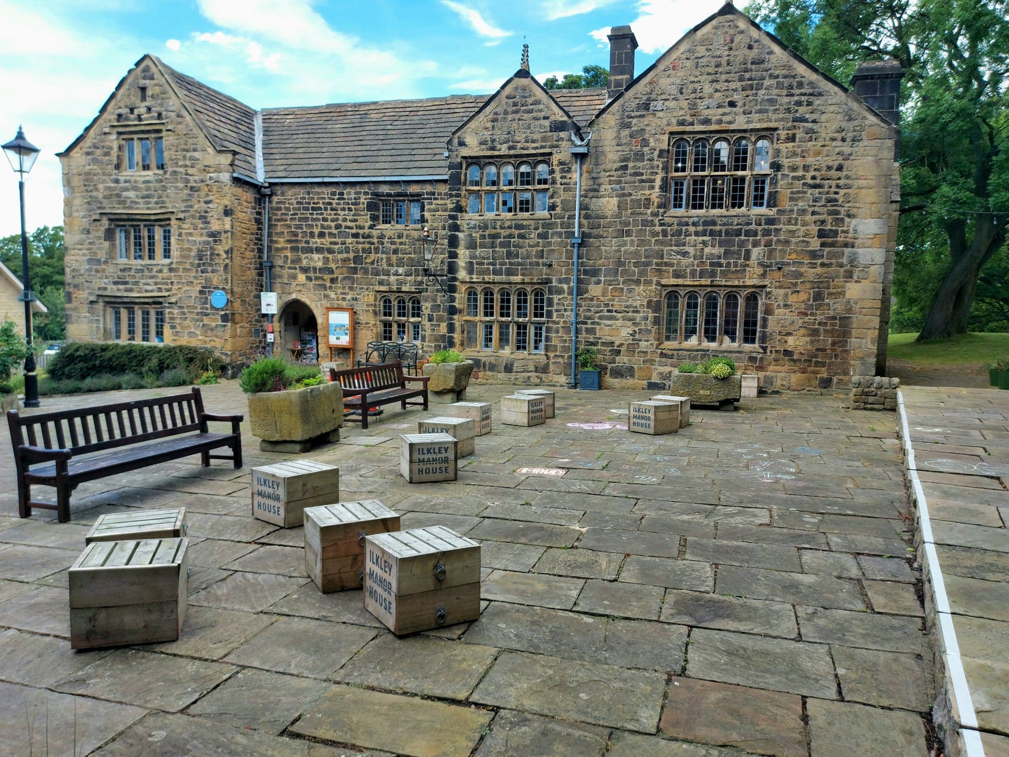
Ilkley Manor House

Ilkley Manor House, Ilkley, West Yorkshire, England, is a local heritage museum, art gallery, and live venue, and was established in the present building...

Dales Way

The Dales Way is an 78.5-mile (126.3 km) long-distance footpath in Northern England, from (south-east to north-west) Ilkley, West Yorkshire, to Bowness...

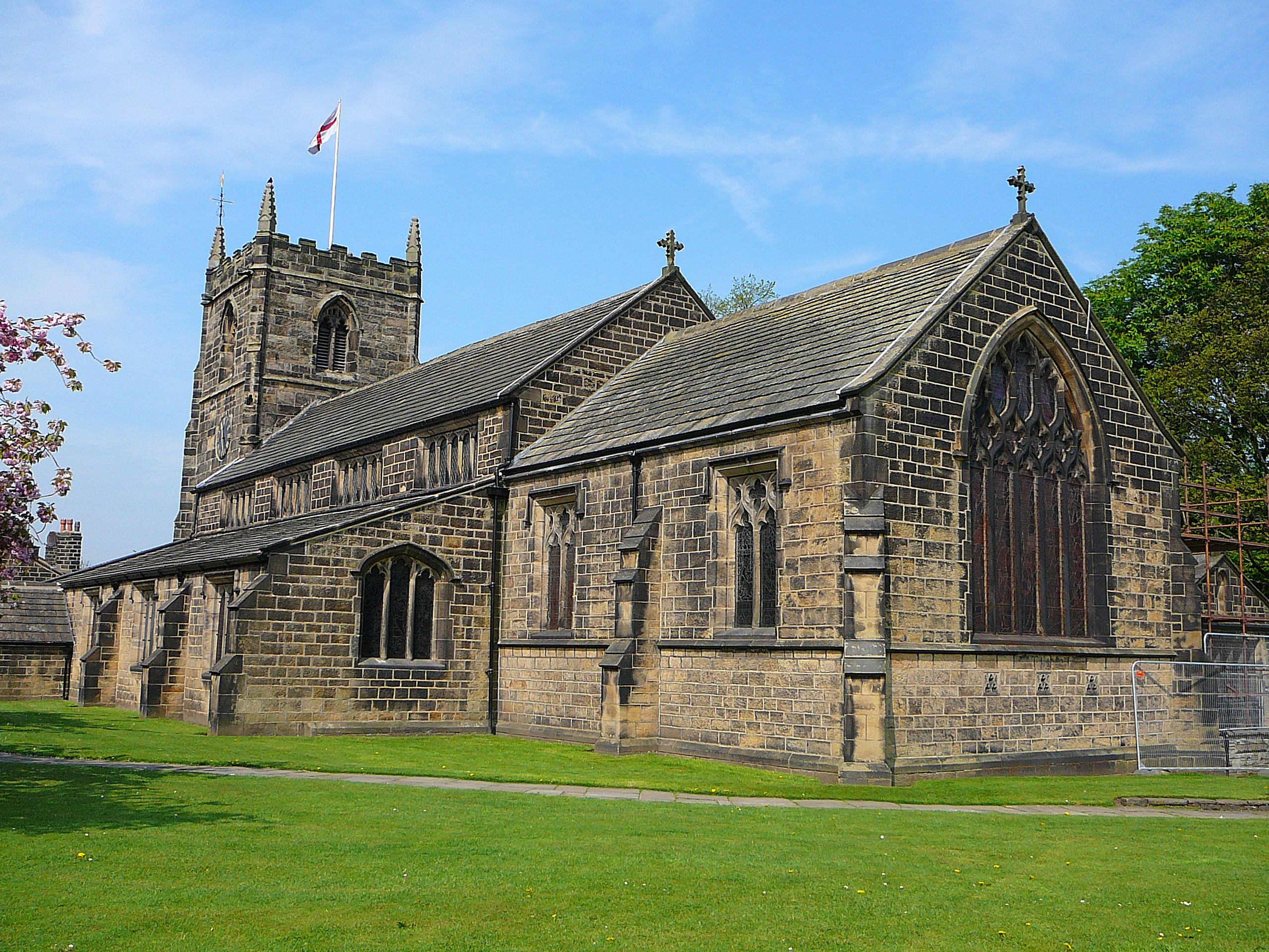
All Saints' Parish Church, Ilkley

The Parish Church of All Saints in Ilkley in West Yorkshire, England is an active Anglican parish church in the archdeaconry of Bradford and the Diocese...

Wharfedale Brewery

Wharfedale Brewery is a brewery situated in Ilkley in Wharfedale, West Yorkshire, England, on the edge of the Yorkshire Dales National Park. Two, now defunct...
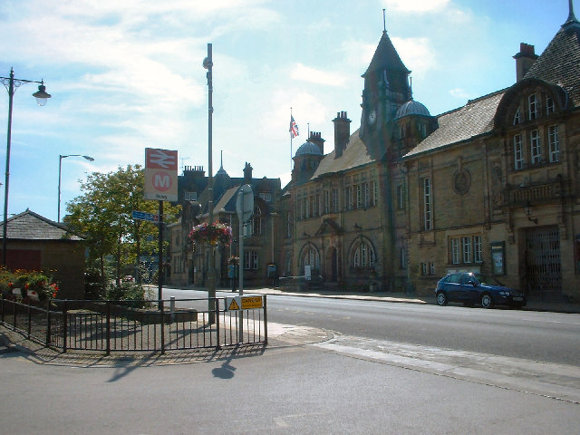
Ilkley

Ilkley is a spa town and civil parish in the City of Bradford in West Yorkshire, in Northern England. Historically part of the West Riding of Yorkshire...

Ilkley railway station

Ilkley railway station serves Ilkley in the City of Bradford, West Yorkshire, England. On the Wharfedale Line, it is served by Class 333 electric trains...

Nearby Amenities

Located within 500m of 53.944446,-1.8162917
Hunger Hill
Natural: peak
Source: NPE
Lat/Long: 53.9442517/-1.8194417
Ele: 645 feet
Man Made: survey_point
Source: OS 1:25k
Lat/Long: 53.9415257/-1.8194975
Material: wood
Power: pole
Source: Bing
Lat/Long: 53.9478431/-1.8128811
Power: pole
Source: Bing
Lat/Long: 53.9408886/-1.8193987
Power: pole
Source: Bing
Lat/Long: 53.9403629/-1.8158554
Power: pole
Source: Bing
Lat/Long: 53.9406297/-1.8166977
Material: wood
Power: pole
Source: Bing
Lat/Long: 53.9460416/-1.8132283
Material: wood
Power: pole
Source: Bing
Lat/Long: 53.9445032/-1.8135354
Material: wood
Power: pole
Source: Bing
Lat/Long: 53.9473802/-1.8130806
Material: wood
Power: pole
Source: Bing
Lat/Long: 53.9452704/-1.8133838
Material: wood
Power: pole
Source: Bing
Lat/Long: 53.9467843/-1.8130808
Material: wood
Power: pole
Source: Bing
Lat/Long: 53.9460724/-1.8167031
Power: pole
Source: Bing
Lat/Long: 53.9460945/-1.8193075
Material: wood
Power: pole
Source: Bing
Lat/Long: 53.9460469/-1.8145625
Power: pole
Source: Bing
Lat/Long: 53.9460803/-1.8181139
Material: wood
Power: pole
Source: Bing
Lat/Long: 53.9460579/-1.8156059
The data included in this document is from www.openstreetmap.org. The data is made available under ODbL.

Have you been to Andrew's Plantation?

Leave your review of Andrew's Plantation below (or comments, questions and feedback).