Middleton

Settlement in Yorkshire

England

Middleton

Middleton Moor To the right is farmland, whereas by contrast to the left is rough grassland pasture now designated as access land.
Middleton Moor Credit: David Spencer

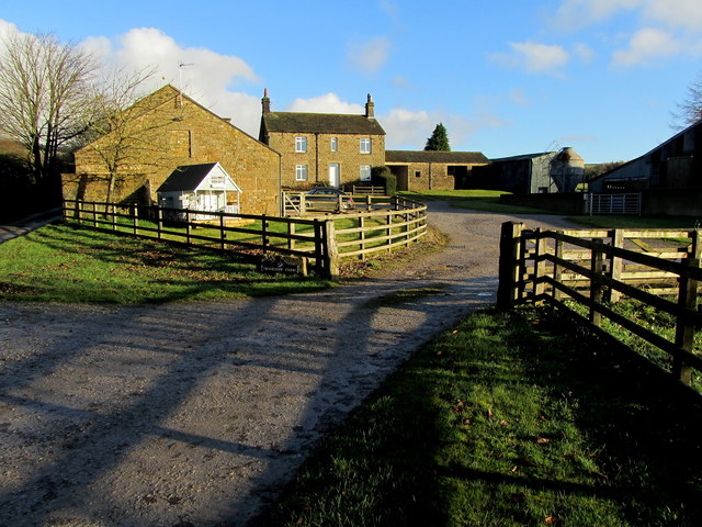
Middleton is a small village located in the county of Yorkshire, England. Situated on the edge of the North York Moors National Park, it offers stunning views of the surrounding countryside and is known for its natural beauty. With a population of around 500 residents, Middleton has a tight-knit community that takes pride in its heritage and close ties to the land.

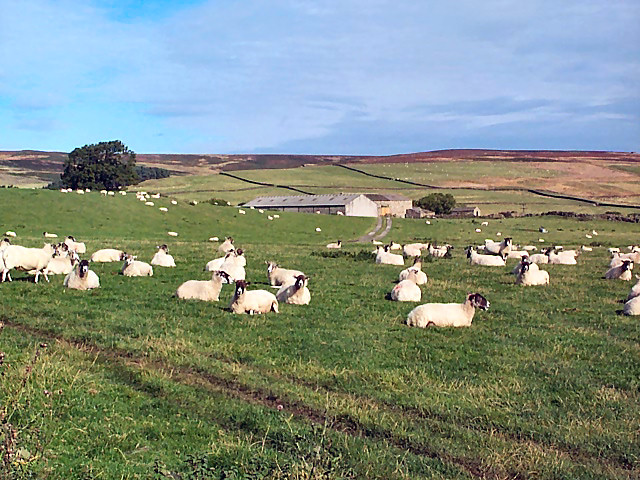
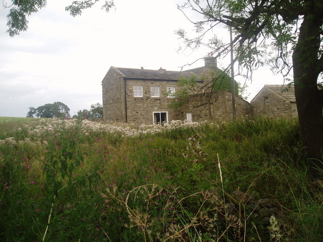
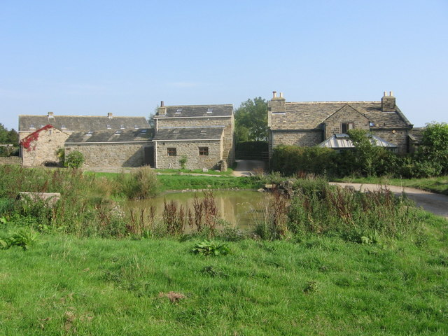
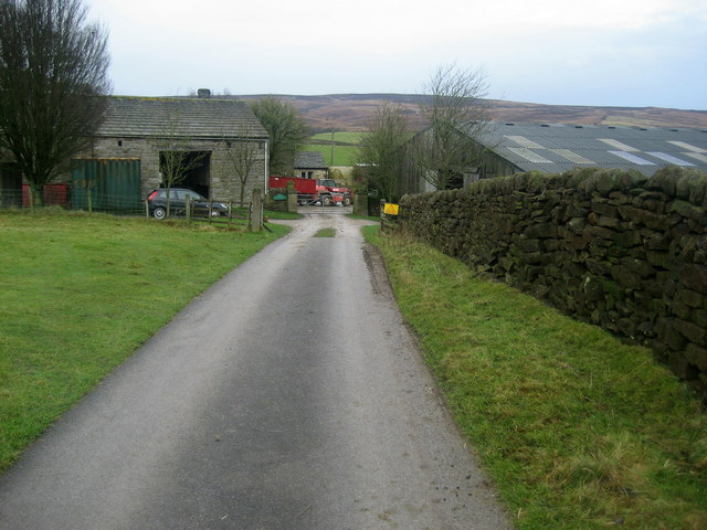
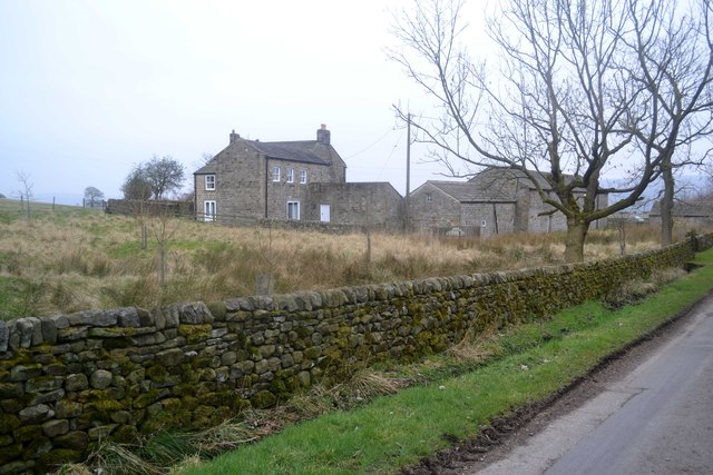
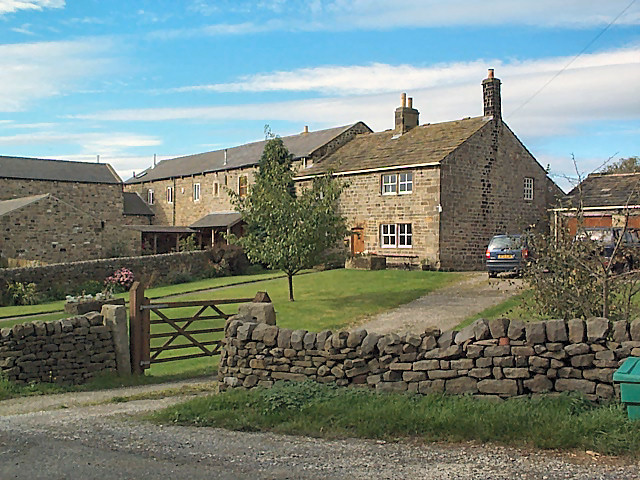
The village itself is characterized by its traditional stone houses, which give it a charming and quaint atmosphere. The local economy is primarily based on agriculture, with farming being a prominent occupation for many residents. Middleton is also home to a few small businesses, including a local pub, a village shop, and a post office, which serve as important gathering places for the community.

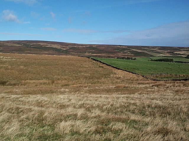
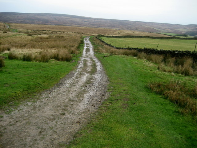
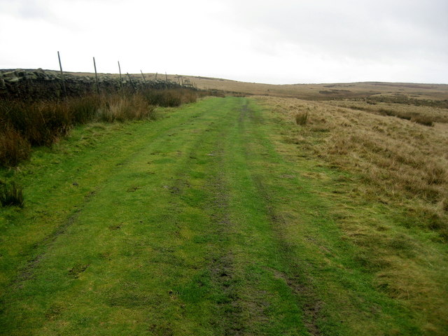
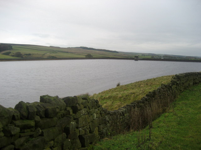
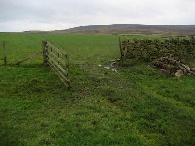
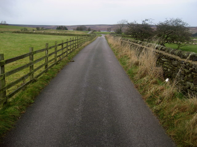
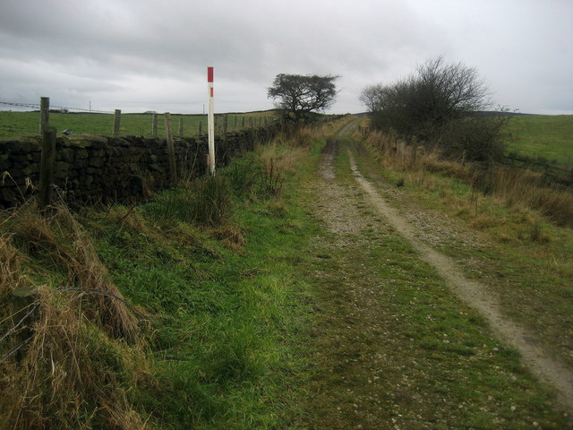
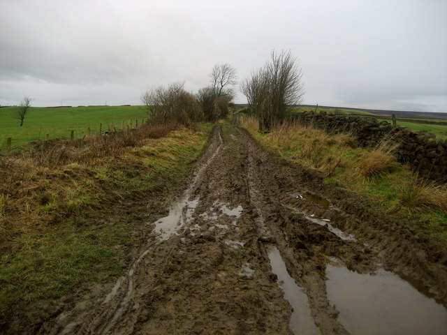
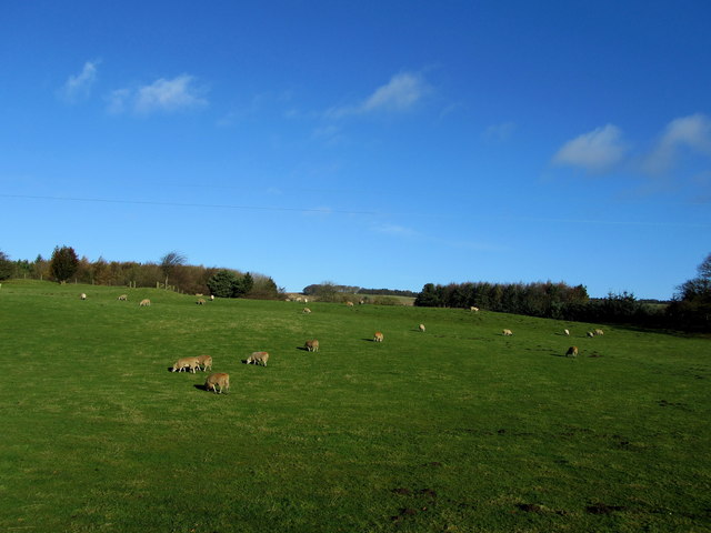
Nature enthusiasts will find Middleton to be a haven, as it offers easy access to the stunning landscapes of the North York Moors. The village is surrounded by rolling hills, vast meadows, and picturesque forests, making it an ideal location for hiking, cycling, and other outdoor activities. Additionally, the nearby River Esk provides opportunities for fishing and boating.

Middleton is also rich in history, with several notable landmarks and historical sites. The village church, St. Andrew's, dates back to the 12th century and features beautiful stained glass windows and a well-preserved interior. The ruins of Middleton Castle, a medieval fortress, offer a glimpse into the area's past and attract history enthusiasts.

Overall, Middleton is a tranquil and idyllic village that offers a peaceful escape from the hustle and bustle of city life. Its natural beauty and rich history make it a popular destination for tourists and a beloved home for its residents.

If you have any feedback on the listing, please let us know in the comments section below.

Middleton Images

Images are sourced within 2km of 53.938687/-1.8118994 or Grid Reference SE1249. Thanks to Geograph Open Source API. All images are credited.

Middleton Moor To the right is farmland, whereas by contrast to the left is rough grassland pasture now designated as access land.
Middleton Moor
To the right is farmland, whereas by contrast to the left is rough grassland pasture now designated as access land.
Sheep near East Moor House Farm Farmland typical of this area on the south facing slopes of Langbar and Denton moors. Denton Moor is on the horizon beyond the farm.
Sheep near East Moor House Farm
Farmland typical of this area on the south facing slopes of Langbar and Denton moors. Denton Moor is on the horizon beyond the farm.
Hardisty's Farm
Hardisty's Farm
Hathenshaw Farm The lane passes between the buildings.
Note the pond in the foreground.
Hathenshaw Farm
The lane passes between the buildings. Note the pond in the foreground.
Track onto Middleton Moor Good track that can lead walkers onto the wilderness of Middleton Moor and up to Round Hill.
Track onto Middleton Moor
Good track that can lead walkers onto the wilderness of Middleton Moor and up to Round Hill.
Lower Badger Gate This path leads from West Moor House and onto the wilderness of Middleton Moor - part of a very ancient route called Badger Gate.
Lower Badger Gate
This path leads from West Moor House and onto the wilderness of Middleton Moor - part of a very ancient route called Badger Gate.
March Ghyll Reservoir Small reservoir below Middleton Moor.
March Ghyll Reservoir
Small reservoir below Middleton Moor.
Pastures near March Ghyll Reservoir Enclosed pastures to the south of the reservoir, allowing open views towards Beamsley Beacon - seen in the distance.
Pastures near March Ghyll Reservoir
Enclosed pastures to the south of the reservoir, allowing open views towards Beamsley Beacon - seen in the distance.
West Moor House Farm Substantial farming operation on the edge of Middleton Moor.
West Moor House Farm
Substantial farming operation on the edge of Middleton Moor.
Access Road to West Moor House Farm Long metalled access lane leads from Hill Top Farm towards West Moor House on the edge of Middleton Moor.
Access Road to West Moor House Farm
Long metalled access lane leads from Hill Top Farm towards West Moor House on the edge of Middleton Moor.
Gas Pipeline Indicator on Badger Hill The track is called Badger Hill, and the red/white pole indicates the presence of a major gas pipeline and requests that no one should attempt to dig a hole in the vicinity.
Gas Pipeline Indicator on Badger Hill
The track is called Badger Hill, and the red/white pole indicates the presence of a major gas pipeline and requests that no one should attempt to dig a hole in the vicinity.
Badger Hill Badger Hill is the name of this track that runs from Hill Top Farm to Badger Gate - an ancient drove road on the edge of Middleton Moor.  As can be seen, after weeks of rain this green lane was not a joy to negotiate - rather more a squelchy, sloppy nightmare.
Badger Hill
Badger Hill is the name of this track that runs from Hill Top Farm to Badger Gate - an ancient drove road on the edge of Middleton Moor. As can be seen, after weeks of rain this green lane was not a joy to negotiate - rather more a squelchy, sloppy nightmare.
Milestone on Middleton Moor For a view of the location see <a href="https://www.geograph.org.uk/photo/3009035">SE1150 : Hunger Hill track on Middleton Moor</a>
Milestone on Middleton Moor
For a view of the location see SE1150 : Hunger Hill track on Middleton Moor
Hunger Hill track on Middleton Moor To the left of the pole is the milestone shown at <a href="https://www.geograph.org.uk/photo/3009025">SE1150 : Milestone on Middleton Moor</a>
There's a benchmark on the milestone
Hunger Hill track on Middleton Moor
To the left of the pole is the milestone shown at SE1150 : Milestone on Middleton Moor There's a benchmark on the milestone
Hunger Hill, Middleton, Ilkley Farm Lane leading to the moor
Hunger Hill, Middleton, Ilkley
Farm Lane leading to the moor
Moorside Farm Farming operation on Denton Lane
Moorside Farm
Farming operation on Denton Lane
Pasture above Skirfa Beck Taken from the no through road to Hollingley Farm
Pasture above Skirfa Beck
Taken from the no through road to Hollingley Farm
Hardisty's Farm, Denton
Show me another place!

Middleton is located at Grid Ref: SE1249 (Lat: 53.938687, Lng: -1.8118994)

Division: West Riding

Unitary Authority: Bradford

Police Authority: West Yorkshire

What 3 Words

///edicts.spud.depth. Near Ilkley, West Yorkshire

Related Wikis

Middleton-on-Wharfe

Middleton is a hamlet and civil parish in the Harrogate district of North Yorkshire, England. It is on the border with West Yorkshire and 1 mile north...

Ilkley Lido

Ilkley Lido is an open-air swimming pool in the West Yorkshire, England, spa town of Ilkley, part of a complex that also includes an indoor heated swimming...
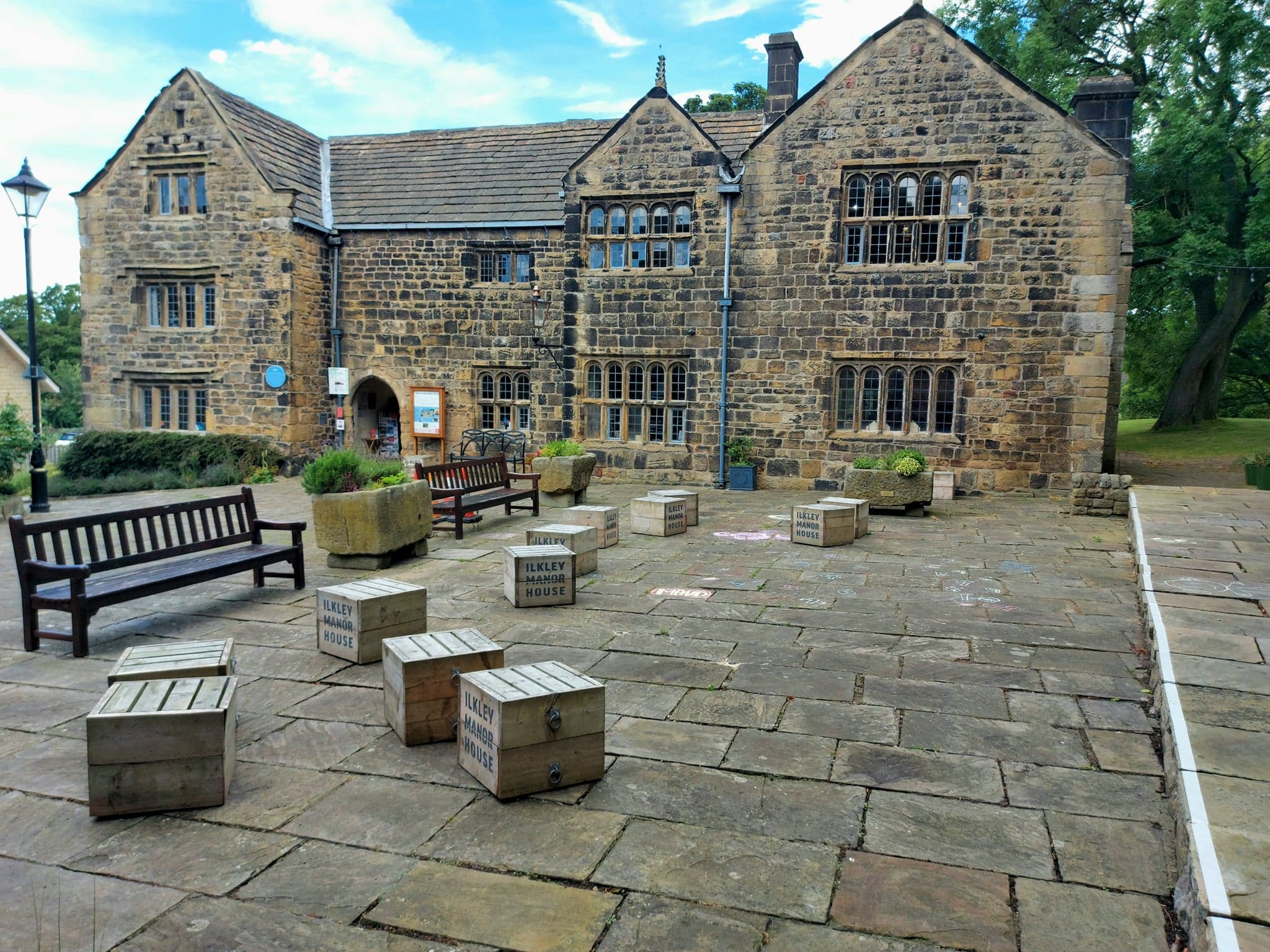
Ilkley Manor House

Ilkley Manor House, Ilkley, West Yorkshire, England, is a local heritage museum, art gallery, and live venue, and was established in the present building...

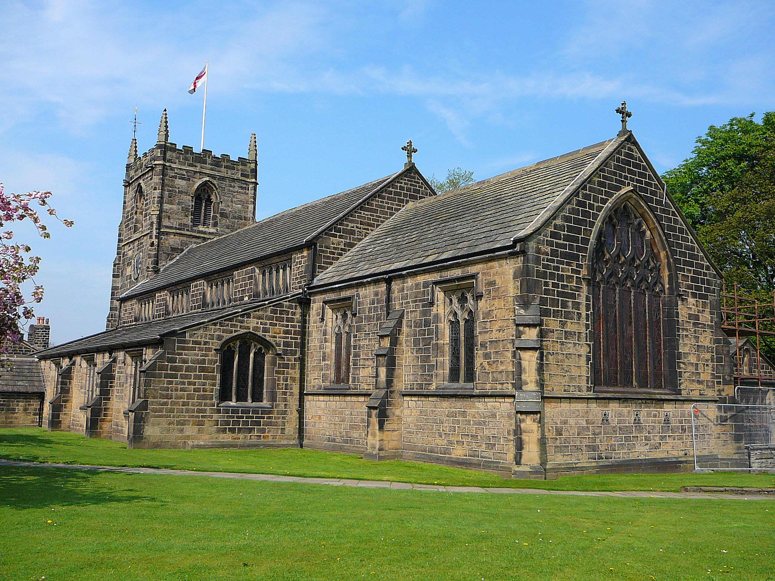
All Saints' Parish Church, Ilkley

The Parish Church of All Saints in Ilkley in West Yorkshire, England is an active Anglican parish church in the archdeaconry of Bradford and the Diocese...

Nearby Amenities

Located within 500m of 53.938687,-1.8118994
Middleton
Is In: UK, England, Yorkshire, North Yorkshire, Wharfedale
Is In Country: UK
Is In County: North Yorkshire
Is In Historic County: Yorkshire
Is In Municipality: Harrogate
Is In Valley: Wharfedale
Place: village
Postal Code: BD22
Wikipedia: en:Middleton, Harrogate
Lat/Long: 53.9392416/-1.8136515
Post Box
Operator: Royal Mail
Post Box Type: lamp
Ref: LS29 839
Lat/Long: 53.9388713/-1.804982
Post Box
Operator: Royal Mail
Post Box Type: lamp
Ref: LS29 830
Lat/Long: 53.9377062/-1.814847
Generator Method: photovoltaic
Generator Output Electricity: yes
Generator Source: solar
Generator Type: solar_photovoltaic_panel
Power: generator
Lat/Long: 53.938686/-1.8144779
Leisure: playground
Lat/Long: 53.9347782/-1.8085703
Fixme: "old milestone" does this still exist?
Source: OS sheet 169,publ 1853
Lat/Long: 53.9386381/-1.8121374
Lane End
Archaeological Site: farm
Description: Farm extant here in mid-C19th
Historic: archaeological_site
Source: OS sheet 169, publ 1853
Lat/Long: 53.9387163/-1.8165261
Power: pole
Source: Bing
Lat/Long: 53.9403629/-1.8158554
Power: pole
Source: Bing
Lat/Long: 53.9406297/-1.8166977
Telephone
Booth: K6
Covered: booth
Phone: +44 1943 607470
Lat/Long: 53.9396425/-1.8142372
The data included in this document is from www.openstreetmap.org. The data is made available under ODbL.

Have you been to Middleton?

Leave your review of Middleton below (or comments, questions and feedback).