Mill Copse
Wood, Forest in Gloucestershire Cotswold
England
Mill Copse
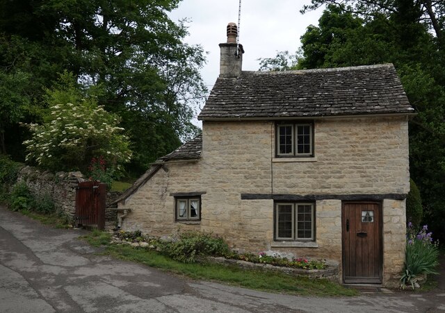
Mill Copse is a picturesque woodland located in the county of Gloucestershire, England. Stretching across an area of approximately 100 acres, it is a popular destination for nature enthusiasts, hikers, and those seeking tranquility in the heart of the countryside.
The copse is characterized by a diverse range of tree species, including oak, beech, ash, and birch, creating a rich and varied ecosystem. The dense canopy of foliage provides shelter for numerous bird species, such as woodpeckers, owls, and thrushes, making it a haven for birdwatchers. Additionally, the forest floor is adorned with a colorful carpet of wildflowers during the spring and summer months.
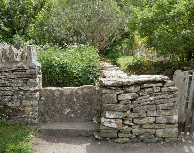
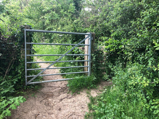
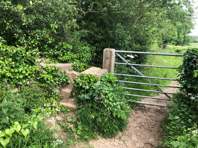
Traversing Mill Copse, visitors will find a network of well-maintained footpaths that wind their way through the woodland, offering stunning views of the surrounding countryside. These paths cater to all levels of fitness, ensuring that everyone can enjoy the beauty of the forest at their own pace.
The copse is also home to a small river, which meanders through the woodland, adding to its charm and providing a habitat for various aquatic creatures. The babbling sound of the water enhances the serene atmosphere of the area, making it an idyllic spot for picnics or simply unwinding amidst nature.
Mill Copse is easily accessible by road, with ample parking facilities available nearby. It is open to the public year-round, offering a peaceful sanctuary for those seeking respite from the hustle and bustle of everyday life.
If you have any feedback on the listing, please let us know in the comments section below.
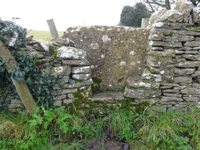
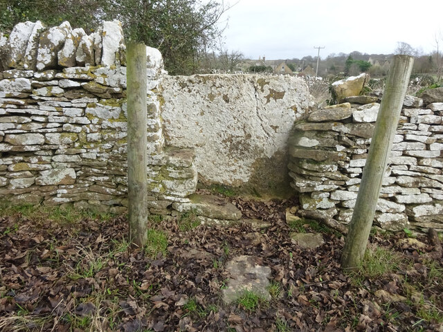
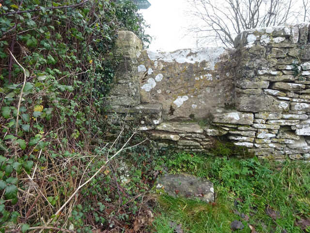
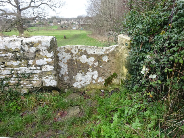
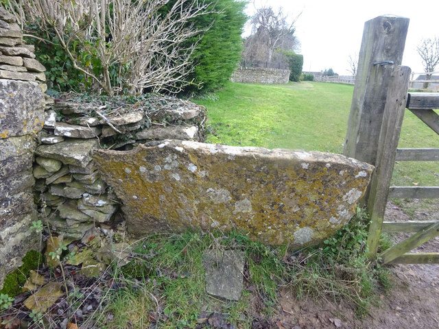
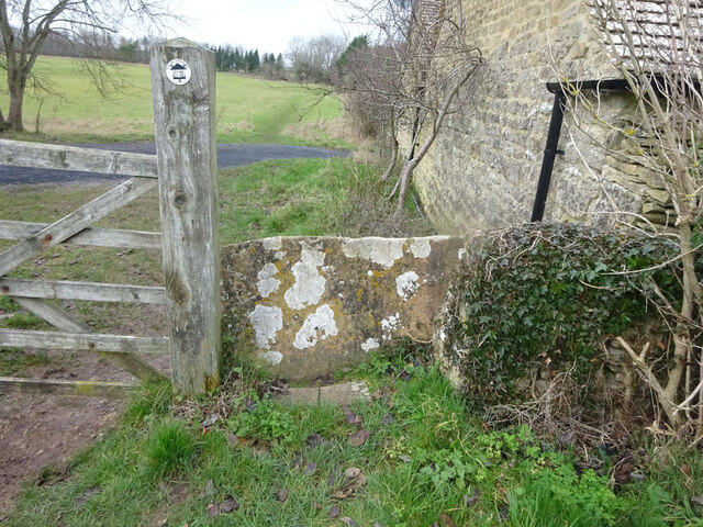
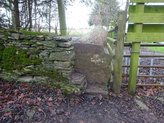
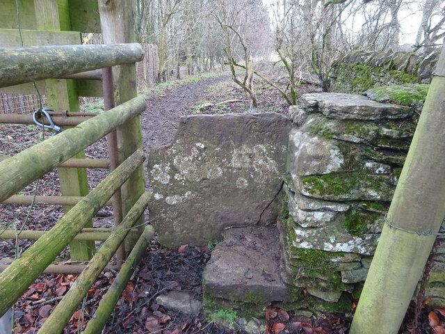
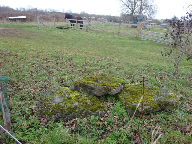
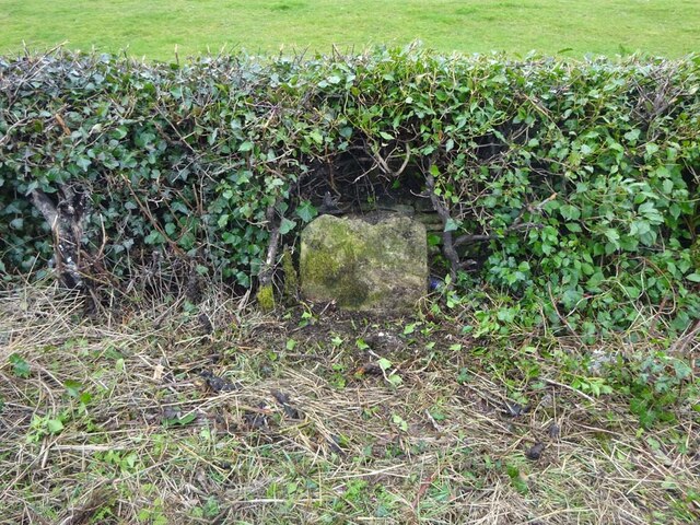
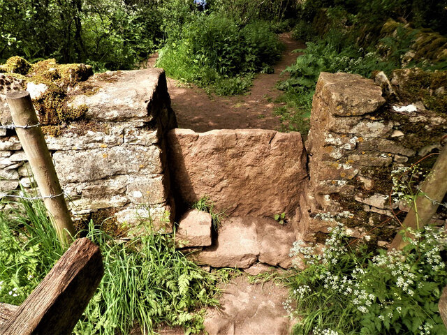
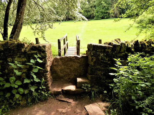
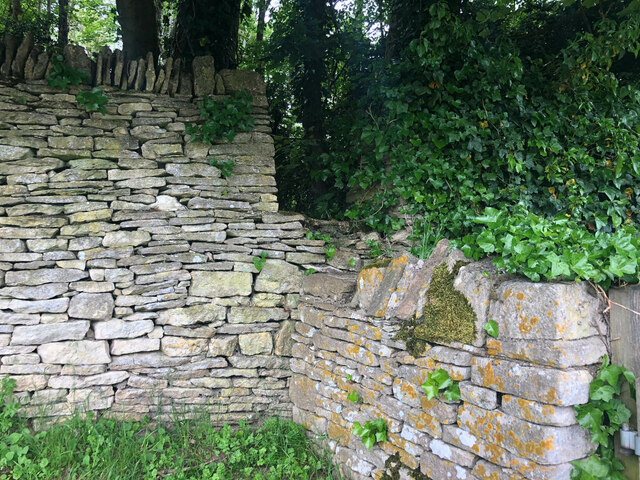
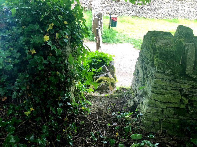
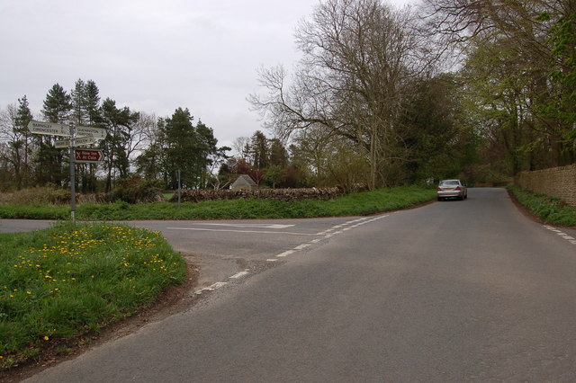
Mill Copse Images
Images are sourced within 2km of 51.757499/-1.8253584 or Grid Reference SP1206. Thanks to Geograph Open Source API. All images are credited.
Mill Copse is located at Grid Ref: SP1206 (Lat: 51.757499, Lng: -1.8253584)
Administrative County: Gloucestershire
District: Cotswold
Police Authority: Gloucestershire
What 3 Words
///chops.easels.heaven. Near Fairford, Gloucestershire
Nearby Locations
Related Wikis
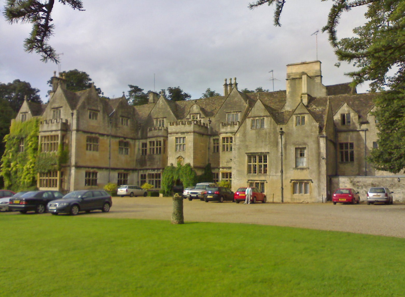
Bibury Court
Bibury Court is a Grade I listed Jacobean country house in Bibury, Gloucestershire, England.The River Coln flows to the south of the property. == History... ==

Church of St Mary, Bibury
The Anglican Church of St Mary at Bibury in the Cotswold District of Gloucestershire, England, was built in the 11th century. It is a grade I listed building...

Bibury
Bibury is a village and civil parish in Gloucestershire, England. It is on the River Coln, a Thames tributary that rises in the same (Cotswold) District...
Arlington Row
Arlington Row at Arlington in the parish of Bibury, Gloucestershire, England was built in the late 14th century as a wool store and converted into weavers...

Arlington, Gloucestershire
Arlington is a Cotswold village in the parish of Bibury, Gloucestershire, England. == History == In 1066 Arlington had two mills and continued to flourish...

Ablington, Gloucestershire
Ablington is a village in the county of Gloucestershire, England. It is located in the Coln Valley and is part of the Bibury civil parish, 6 miles (9...

Ablington Manor
Ablington Manor is a Grade I listed country house in Potlicker's Lane, Ablington within the parish of Bibury, Gloucestershire, England. The estate was...
Ready Token
Ready Token is a hamlet in Gloucestershire, England, located in the Cotswold Hills near Poulton. Despite comprising only a handful of houses it is located...
Nearby Amenities
Located within 500m of 51.757499,-1.8253584Have you been to Mill Copse?
Leave your review of Mill Copse below (or comments, questions and feedback).