The Grove

Wood, Forest in Gloucestershire Cotswold

England

The Grove

Stone Stile, Bibury Actually in Arlington, the South/West side of Bibury. On Gloucestershire footpath KBY16. This view is looking SW from the farm track (KBY13). The view from the field is <a href="https://www.geograph.org.uk/photo/7060080">SP1106 : Stone Stile, Bibury</a>.
Stone Stile, Bibury Credit: Mr Red

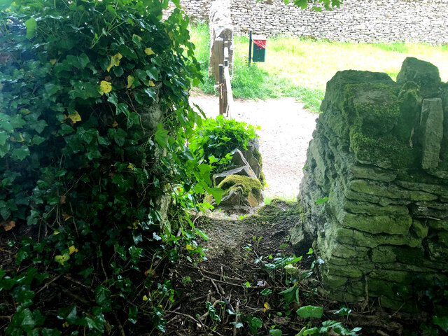
The Grove, located in the county of Gloucestershire, is a picturesque woodland area that offers a serene and natural escape for visitors. Covering an expansive area, The Grove is renowned for its lush greenery, diverse vegetation, and tranquil atmosphere. It is a popular destination for nature enthusiasts, hikers, and those seeking a peaceful retreat.

The woodland is characterized by its dense tree cover, consisting of a rich variety of species such as oak, beech, and pine. The Grove's woodland floor is adorned with a tapestry of wildflowers, creating a vibrant and enchanting landscape. The air is filled with the sweet scent of the forest, and the sounds of birds chirping and leaves rustling add to the serene ambiance.

Visitors to The Grove can enjoy a range of activities, including hiking along the well-marked trails that wind through the woodland. These trails cater to different levels of difficulty, allowing both avid hikers and casual walkers to explore the area at their own pace. The Grove also offers opportunities for wildlife spotting, with various species of birds, deer, and small mammals calling this woodland their home.

For those who prefer a more tranquil experience, The Grove provides designated picnic areas where visitors can relax and enjoy a packed lunch amidst the natural beauty. Additionally, the woodland is equipped with benches strategically placed along the trails, offering spots for contemplation and observation.

Overall, The Grove in Gloucestershire is a haven for nature lovers, providing a peaceful environment where visitors can connect with the beauty of the natural world.

If you have any feedback on the listing, please let us know in the comments section below.
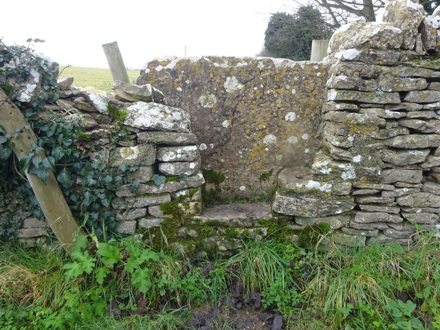
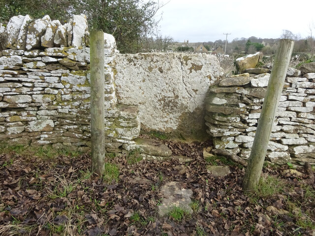
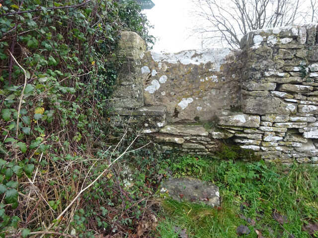
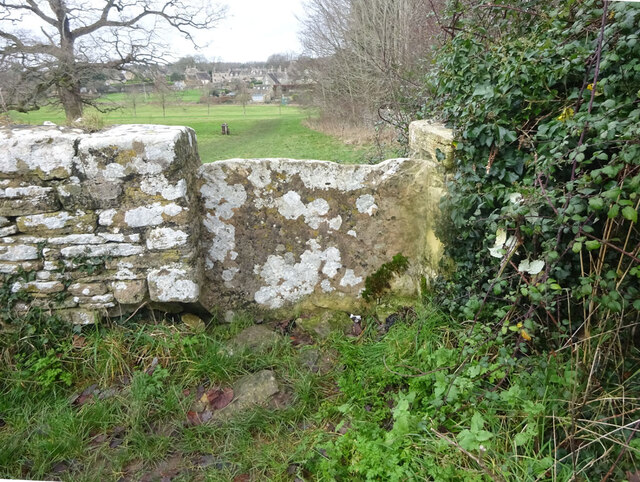
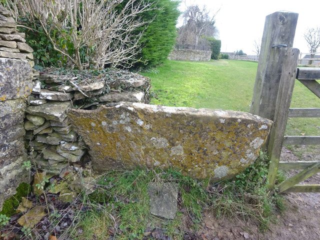
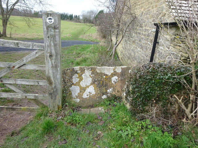
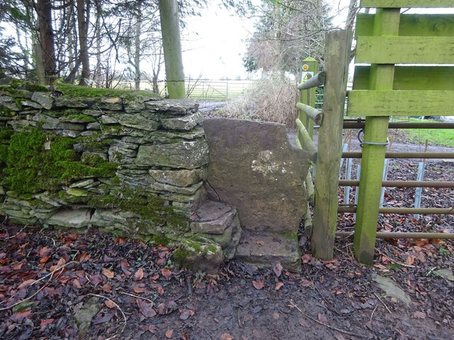
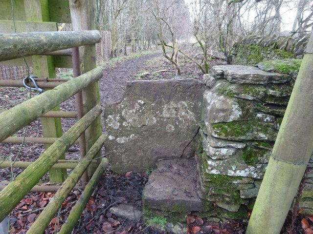
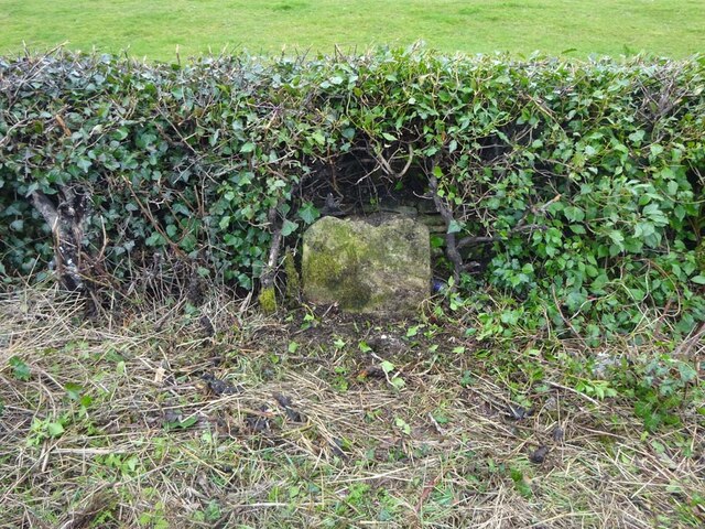
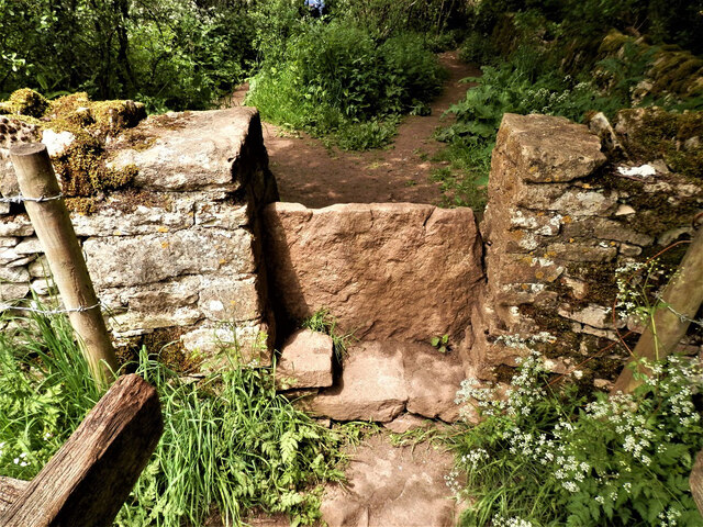
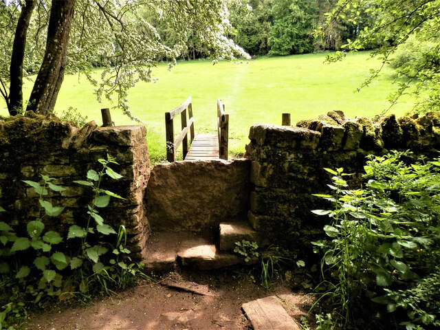
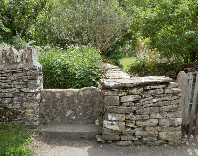
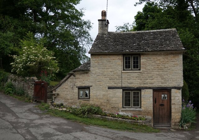
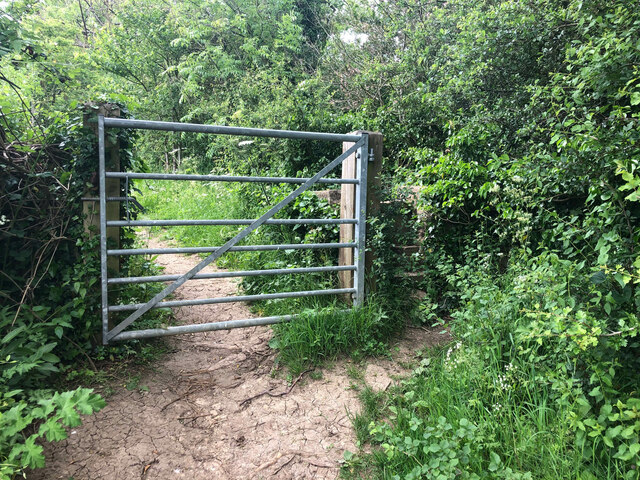
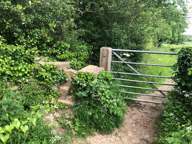
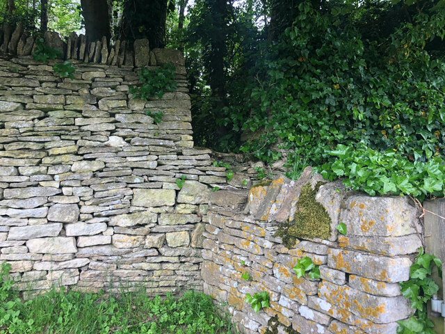
The Grove Images

Images are sourced within 2km of 51.75354/-1.8235483 or Grid Reference SP1206. Thanks to Geograph Open Source API. All images are credited.

Stone Stile, Bibury Actually in Arlington, the South/West side of Bibury. On Gloucestershire footpath KBY16. This view is looking SW from the farm track (KBY13). The view from the field is <a href="https://www.geograph.org.uk/photo/7060080">SP1106 : Stone Stile, Bibury</a>.
Stone Stile, Bibury
Actually in Arlington, the South/West side of Bibury. On Gloucestershire footpath KBY16. This view is looking SW from the farm track (KBY13). The view from the field is SP1106 : Stone Stile, Bibury.
Stone Stile, Bibury Actually in Arlington, the South/West side of Bibury. On Gloucestershire footpath KBY16. This view is looking NE to the farm track (KBY13). The view from the track is <a href="https://www.geograph.org.uk/photo/7060078">SP1106 : Stone Stile, Bibury</a>.
Stone Stile, Bibury
Actually in Arlington, the South/West side of Bibury. On Gloucestershire footpath KBY16. This view is looking NE to the farm track (KBY13). The view from the track is SP1106 : Stone Stile, Bibury.
Stone Stile, Bibury Looking SE on Gloucestershire footpaths KBY16 & KBY11. The other side, footpath KBY15 runs NE towards the famous Arlington Row that Bibury is noted for. The view from that footpath is <a href="https://www.geograph.org.uk/photo/7060088">SP1106 : Stone Stile, Bibury</a>.
Stone Stile, Bibury
Looking SE on Gloucestershire footpaths KBY16 & KBY11. The other side, footpath KBY15 runs NE towards the famous Arlington Row that Bibury is noted for. The view from that footpath is SP1106 : Stone Stile, Bibury.
Stone Stile, Bibury Looking NW to Gloucestershire footpaths KBY16 & KBY11. This side the footpath KBY15 runs NE towards the famous Arlington Row that Bibury is noted for. The view from the fields is <a href="https://www.geograph.org.uk/photo/7060086">SP1106 : Stone Stile, Bibury</a>.
Stone Stile, Bibury
Looking NW to Gloucestershire footpaths KBY16 & KBY11. This side the footpath KBY15 runs NE towards the famous Arlington Row that Bibury is noted for. The view from the fields is SP1106 : Stone Stile, Bibury.
Stone Stile, Bibury In the area known as Arlington Corner, on the Gloucestershire footpath KBY18 looking SE. The view NW is <a href="https://www.geograph.org.uk/photo/7060092">SP1006 : Stone Stile, Bibury</a>. The route has labels naming it "The Palladian Way (an Architectural trail)"
Stone Stile, Bibury
In the area known as Arlington Corner, on the Gloucestershire footpath KBY18 looking SE. The view NW is SP1006 : Stone Stile, Bibury. The route has labels naming it "The Palladian Way (an Architectural trail)"
Stone Stile, Bibury In the area known as Arlington Corner, on the Gloucestershire footpath KBY18 looking NW to fields. The view SE is <a href="https://www.geograph.org.uk/photo/7060090">SP1006 : Stone Stile, Bibury</a>. The route has labels naming it "The Palladian Way (an Architectural trail)"
Stone Stile, Bibury
In the area known as Arlington Corner, on the Gloucestershire footpath KBY18 looking NW to fields. The view SE is SP1006 : Stone Stile, Bibury. The route has labels naming it "The Palladian Way (an Architectural trail)"
Stone Stile, Bibury On Pudding Hill Farm along the Gloucestershire footpath KBY18 looking NW. The view looking SE is <a href="https://www.geograph.org.uk/photo/7060100">SP1006 : Stone Stile, Bibury</a>.
Stone Stile, Bibury
On Pudding Hill Farm along the Gloucestershire footpath KBY18 looking NW. The view looking SE is SP1006 : Stone Stile, Bibury.
Stone Stile, Bibury On Pudding Hill Farm along the Gloucestershire footpath KBY18 looking SE. The view looking NW is <a href="https://www.geograph.org.uk/photo/7060099">SP1006 : Stone Stile, Bibury</a>.
Stone Stile, Bibury
On Pudding Hill Farm along the Gloucestershire footpath KBY18 looking SE. The view looking NW is SP1006 : Stone Stile, Bibury.
Old Milestone, near Bibury About ½ a mile NE of the village. Carved stone post by the B4425, in the parish of BIBURY (COTSWOLD District), NE of Bibury Farm, by the road. Bibury marker, erected by the Bibury & Dancy's Fancy turnpike trust in the 19th century.

Inscription once read: Cirencester 8 / Burford 9

Milestone Society National ID: GL_CIBF08
Old Milestone, near Bibury
About ½ a mile NE of the village. Carved stone post by the B4425, in the parish of BIBURY (COTSWOLD District), NE of Bibury Farm, by the road. Bibury marker, erected by the Bibury & Dancy's Fancy turnpike trust in the 19th century. Inscription once read: Cirencester 8 / Burford 9 Milestone Society National ID: GL_CIBF08
Stone Stile, Bibury/Quenington GS2403 On the boundary of Bibury and Quenington with Gloucestershire footpaths KBY13A, BQU3 (left) & BQU2 (right) looking SE. The view looking NW is <a href="https://www.geograph.org.uk/photo/7265278">SP1205 : Stone Stile, Bibury/Quenington GS2403</a>.
Stone Stile, Bibury/Quenington GS2403
On the boundary of Bibury and Quenington with Gloucestershire footpaths KBY13A, BQU3 (left) & BQU2 (right) looking SE. The view looking NW is SP1205 : Stone Stile, Bibury/Quenington GS2403.
Stone Stile, Bibury/Quenington GS2403 On the boundary of Bibury and Quenington with Gloucestershire footpaths KBY13A (background), BQU3 & BQU2, view is looking NW. The view looking SE is <a href="https://www.geograph.org.uk/photo/7265278">SP1205 : Stone Stile, Bibury/Quenington GS2403</a>.
Stone Stile, Bibury/Quenington GS2403
On the boundary of Bibury and Quenington with Gloucestershire footpaths KBY13A (background), BQU3 & BQU2, view is looking NW. The view looking SE is SP1205 : Stone Stile, Bibury/Quenington GS2403.
Stone Stile, Bibury GS2404 Off Awkward Hill (aka Arlington Row, i.e. the houses) on Gloucestershire footpath KBY10 looking South.
Stone Stile, Bibury GS2404
Off Awkward Hill (aka Arlington Row, i.e. the houses) on Gloucestershire footpath KBY10 looking South.
Cottage on Awkward Hill, Bibury
Stone Stile, Bibury On Gloucestershire footpath KBY13, South of Bibury Cricket Ground. Looking NW, the view East is <a href="https://www.geograph.org.uk/photo/7317324">SP1106 : Stone Stile, Bibury</a>.
Stone Stile, Bibury
On Gloucestershire footpath KBY13, South of Bibury Cricket Ground. Looking NW, the view East is SP1106 : Stone Stile, Bibury.
Stone Stile, Bibury On Gloucestershire footpath KBY13, South of Bibury Cricket Ground. Looking East, the view NW is <a href="https://www.geograph.org.uk/photo/7317323">SP1106 : Stone Stile, Bibury</a>.
Stone Stile, Bibury
On Gloucestershire footpath KBY13, South of Bibury Cricket Ground. Looking East, the view NW is SP1106 : Stone Stile, Bibury.
Stone Stile, Bibury A private step stile off Gloucestershire bridleway KBY8 near Bibury Farm and Court Farm. Looking West, the view East from the stile is <a href="https://www.geograph.org.uk/photo/7317347">SP1206 : Stone Stile, Bibury</a>.
Stone Stile, Bibury
A private step stile off Gloucestershire bridleway KBY8 near Bibury Farm and Court Farm. Looking West, the view East from the stile is SP1206 : Stone Stile, Bibury.
Stone Stile, Bibury A private step stile off Gloucestershire bridleway KBY8 near Bibury Farm and Court Farm. Looking East from the stile, the view West is <a href="https://www.geograph.org.uk/photo/7317346">SP1206 : Stone Stile, Bibury</a>.
Stone Stile, Bibury
A private step stile off Gloucestershire bridleway KBY8 near Bibury Farm and Court Farm. Looking East from the stile, the view West is SP1206 : Stone Stile, Bibury.
Stone Stile, Bibury A private stile to Awkward Hill Cottage. Near the famed "Arlington Row", and at the junction of Awkward Hill and Hawkers Hill.
Stone Stile, Bibury
A private stile to Awkward Hill Cottage. Near the famed "Arlington Row", and at the junction of Awkward Hill and Hawkers Hill.
Show me another place!

The Grove is located at Grid Ref: SP1206 (Lat: 51.75354, Lng: -1.8235483)

Administrative County: Gloucestershire

District: Cotswold

Police Authority: Gloucestershire

What 3 Words

///paraded.plod.podcast. Near Fairford, Gloucestershire

Related Wikis

Bibury Court

Bibury Court is a Grade I listed Jacobean country house in Bibury, Gloucestershire, England.The River Coln flows to the south of the property. == History... ==

Church of St Mary, Bibury

The Anglican Church of St Mary at Bibury in the Cotswold District of Gloucestershire, England, was built in the 11th century. It is a grade I listed building...

Bibury

Bibury is a village and civil parish in Gloucestershire, England. It is on the River Coln, a Thames tributary that rises in the same (Cotswold) District...

Arlington Row

Arlington Row at Arlington in the parish of Bibury, Gloucestershire, England was built in the late 14th century as a wool store and converted into weavers...

Arlington, Gloucestershire

Arlington is a Cotswold village in the parish of Bibury, Gloucestershire, England. == History == In 1066 Arlington had two mills and continued to flourish...

Ready Token

Ready Token is a hamlet in Gloucestershire, England, located in the Cotswold Hills near Poulton. Despite comprising only a handful of houses it is located...

Coln St. Aldwyns

Coln St. Aldwyns (sometimes Coln St. Aldwyn) is a village and civil parish in the Cotswold district of the English county of Gloucestershire. == History... ==

Ablington, Gloucestershire

Ablington is a village in the county of Gloucestershire, England. It is located in the Coln Valley and is part of the Bibury civil parish, 6 miles (9...

Nearby Amenities

Located within 500m of 51.75354,-1.8235483
Barrier: stile
Lat/Long: 51.7534384/-1.8288239
Barrier: stile
Lat/Long: 51.7545125/-1.8299078
The data included in this document is from www.openstreetmap.org. The data is made available under ODbL.

Have you been to The Grove?

Leave your review of The Grove below (or comments, questions and feedback).