Knott's Plantation

Wood, Forest in Yorkshire Harrogate

England

Knott's Plantation

Ramsgill Right on the edge of the gridsquare. The Yorke Arms, Ramsgill.
Ramsgill Credit: DS Pugh

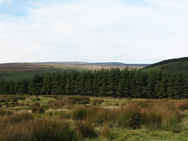
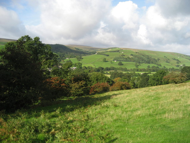
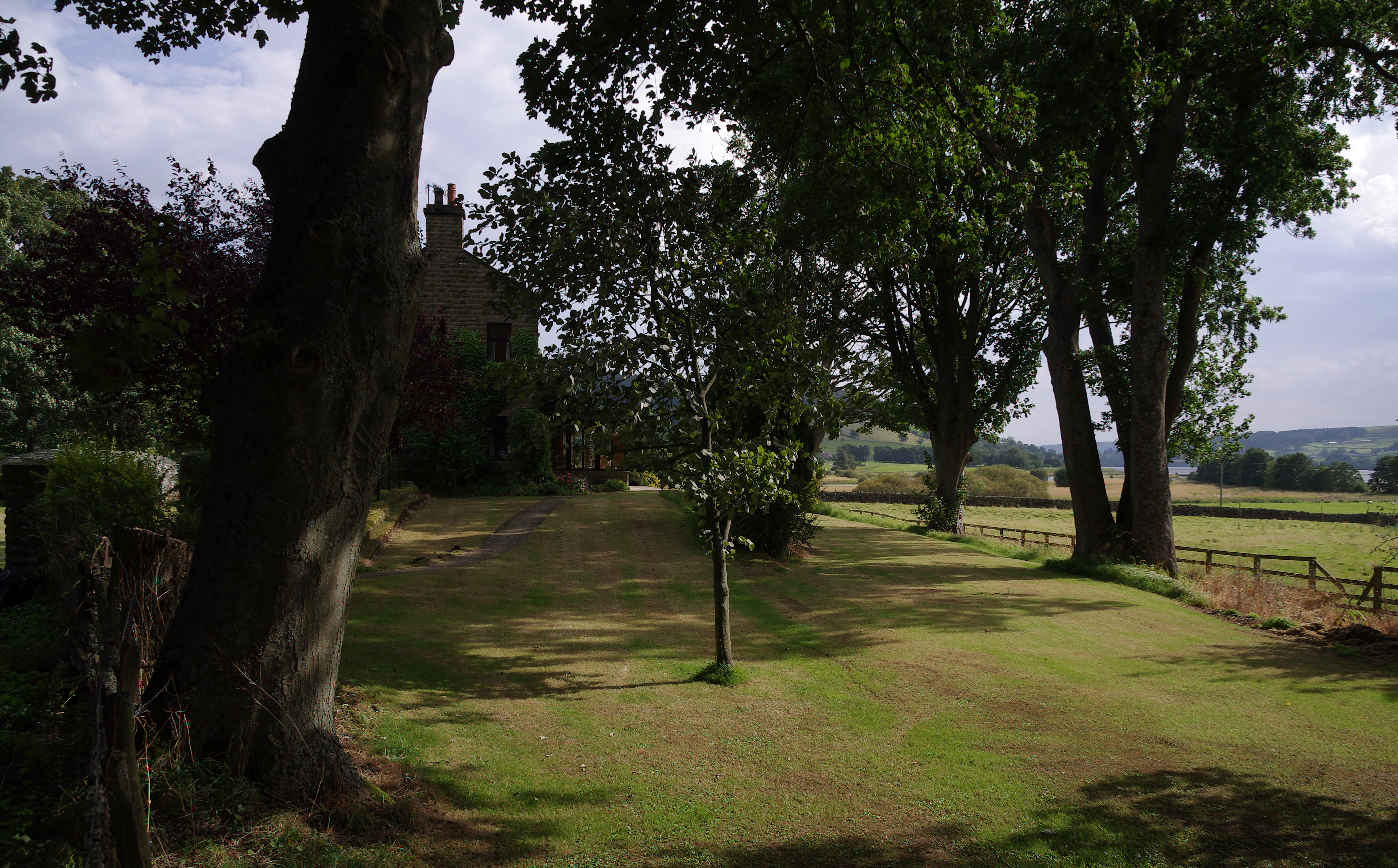
Knott's Plantation is a picturesque woodland located in the scenic county of Yorkshire, England. Situated amidst rolling hills and lush greenery, this woodland paradise spans over several acres, offering a tranquil retreat for nature enthusiasts and outdoor adventurers alike.

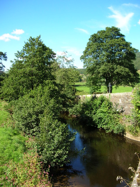
The plantation primarily consists of a dense forest, vibrant with a diverse range of tree species such as oak, beech, and birch. These majestic trees create a captivating canopy, providing shade and shelter to the various flora and fauna that call this place home. The forest floor is adorned with a rich carpet of wildflowers, adding bursts of color to the serene landscape.

The woodland is crisscrossed by a network of well-maintained walking trails, allowing visitors to explore the area at their own pace. These paths wind through the forest, leading to enchanting hidden nooks, babbling brooks, and tranquil ponds. The trails are suitable for all levels of fitness, making it accessible to individuals of all ages.

Knott's Plantation also serves as a haven for wildlife. The forest is teeming with a plethora of animal species, including deer, rabbits, squirrels, and a variety of bird species. Birdwatchers can delight in spotting rare and migratory birds that frequent the area.

Visitors can take advantage of the numerous picnic spots scattered throughout the plantation, providing the perfect opportunity to enjoy a packed lunch amidst the idyllic surroundings. Additionally, the plantation offers guided nature walks and educational programs, allowing visitors to learn more about the local ecology and conservation efforts.

Overall, Knott's Plantation is a captivating woodland retreat that invites visitors to immerse themselves in the beauty of nature, offering a memorable experience for all who venture into its serene embrace.

If you have any feedback on the listing, please let us know in the comments section below.

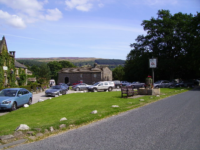
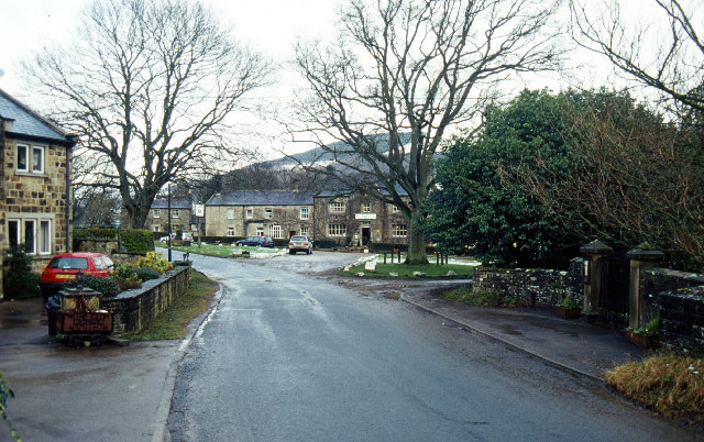
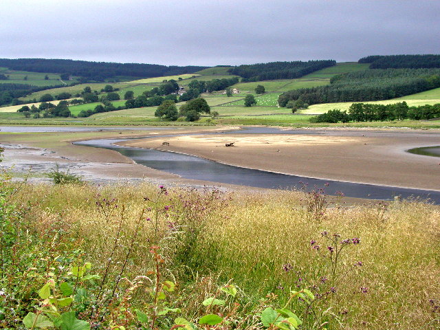
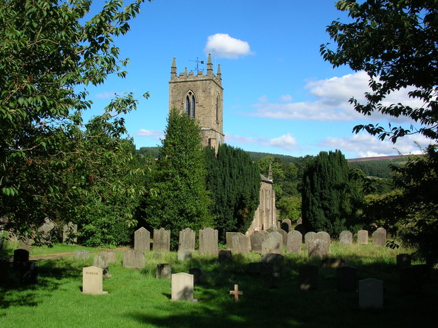
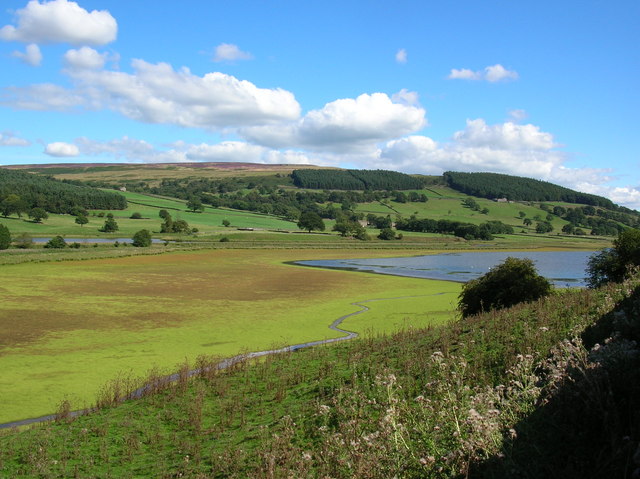
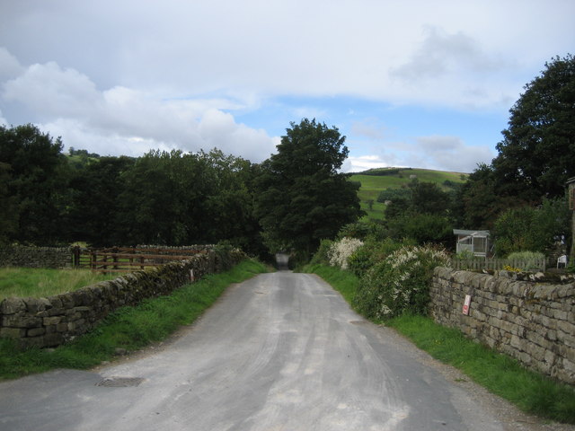
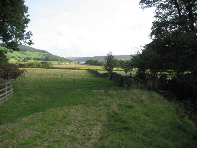
Knott's Plantation Images

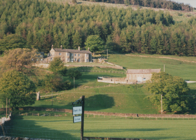
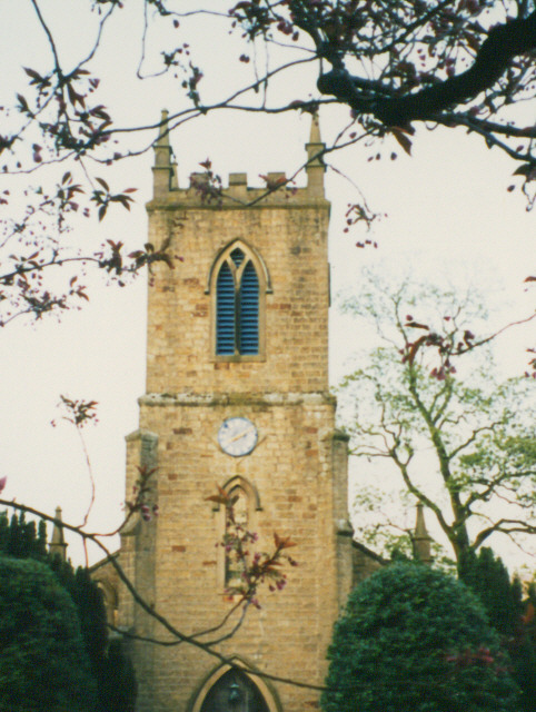
Images are sourced within 2km of 54.1279/-1.8153905 or Grid Reference SE1270. Thanks to Geograph Open Source API. All images are credited.

Ramsgill Right on the edge of the gridsquare. The Yorke Arms, Ramsgill.
Ramsgill
Right on the edge of the gridsquare. The Yorke Arms, Ramsgill.
Ramsgill Looking north into the centre of the village.
Ramsgill
Looking north into the centre of the village.
The head of Gouthwaite Reservoir A much depleted reservoir in July 2002.
The head of Gouthwaite Reservoir
A much depleted reservoir in July 2002.
Nidd at Ramsgill From the road bridge over the Nidd.
Nidd at Ramsgill
From the road bridge over the Nidd.
Ramsgill Church Standing at the edge of Gouthwaite reservoir.
Ramsgill Church
Standing at the edge of Gouthwaite reservoir.
Marshland at Gouthwaite The amount of visible marsh varies a lot throughout the year with the reservoir. Taken in the middle of summer the reservoir at this end is fairly low, and much land is exposed.
Marshland at Gouthwaite
The amount of visible marsh varies a lot throughout the year with the reservoir. Taken in the middle of summer the reservoir at this end is fairly low, and much land is exposed.
Bouthwaite From the end of the cul-de-sac lane looking down its length towards Ramsgill
Bouthwaite
From the end of the cul-de-sac lane looking down its length towards Ramsgill
Countryside just north of Gouthwaite Reservoir Tranquil fields in Upper Nidderdale. What is interesting about this photograph is that a railway from Scar House once ran down on the left-hand side of the landscape pictured here - little evidence remains today.
Countryside just north of Gouthwaite Reservoir
Tranquil fields in Upper Nidderdale. What is interesting about this photograph is that a railway from Scar House once ran down on the left-hand side of the landscape pictured here - little evidence remains today.
Longside House Formerly the Ramsgill Youth Hostel (closed circa 1990?)
Longside House
Formerly the Ramsgill Youth Hostel (closed circa 1990?)
Tower of St Mary's church St Mary's, Ramsgill
Tower of St Mary's church
St Mary's, Ramsgill
Part of Upper Nidderdale View of this famous Yorkshire Dale from above Bouthwaite.
Part of Upper Nidderdale
View of this famous Yorkshire Dale from above Bouthwaite.
Grindstone Hill House Old farmhouse in Nidderdale with a suckler herd in the field.
Grindstone Hill House
Old farmhouse in Nidderdale with a suckler herd in the field.
Former Methodist Chapel at Bouthwaite Late 19th century chapel now converted into a house at Bouthwaite.
Former Methodist Chapel at Bouthwaite
Late 19th century chapel now converted into a house at Bouthwaite.
Bouthwaite A tiny hamlet comprising a farm and a few houses. Once the site of a grange belonging to Fountains Abbey. It is said that Nidderdale was for cattle rearing, and the Craven fells further west were for sheep farming.
Bouthwaite
A tiny hamlet comprising a farm and a few houses. Once the site of a grange belonging to Fountains Abbey. It is said that Nidderdale was for cattle rearing, and the Craven fells further west were for sheep farming.
'Road' above Bouthwaite. This rough track is classed as a county road and leads over the moor from Bouthwaite towards Kirkby Malzeard. Originally part of a monastic route from Craven and Nidderdale to Fountains Abbey, and here passing through the parish of Fountains Earth.
'Road' above Bouthwaite.
This rough track is classed as a county road and leads over the moor from Bouthwaite towards Kirkby Malzeard. Originally part of a monastic route from Craven and Nidderdale to Fountains Abbey, and here passing through the parish of Fountains Earth.
East Side Wood Conifer plantation on the eastern side of Nidderdale.
East Side Wood
Conifer plantation on the eastern side of Nidderdale.
Knott's Gill flowing down to and under a wall Not much water in the Gill.
Knott's Gill flowing down to and under a wall
Not much water in the Gill.
Gate in the intake wall near Raygill House Gateway in the gritstone wall.
Gate in the intake wall near Raygill House
Gateway in the gritstone wall.
Show me another place!

Knott's Plantation is located at Grid Ref: SE1270 (Lat: 54.1279, Lng: -1.8153905)

Division: West Riding

Administrative County: North Yorkshire

District: Harrogate

Police Authority: North Yorkshire

What 3 Words

///stood.economics.prayers. Near Pateley Bridge, North Yorkshire

Related Wikis

Bouthwaite

Bouthwaite is a hamlet in the Harrogate district of North Yorkshire, England. It is situated in Nidderdale, to the north of Pateley Bridge, close to the...

Yorke Arms

The Yorke Arms is a luxury events venue in Ramsgill, Nidderdale, in the Yorkshire Dales in northern England.The building began life as a shooting lodge...

Ramsgill railway station

Ramsgill railway station was a station on the Nidd Valley Light Railway in Nidderdale in Yorkshire, England. It opened in 1907 and closed in 1930. It was...

Ramsgill

Ramsgill is a small village in Nidderdale, North Yorkshire, England, about 2 miles (3.2 km) south-east of Lofthouse, located near Gouthwaite Reservoir...

Nearby Amenities

Located within 500m of 54.1279,-1.8153905
The data included in this document is from www.openstreetmap.org. The data is made available under ODbL.

Have you been to Knott's Plantation?

Leave your review of Knott's Plantation below (or comments, questions and feedback).