Oak Wood
Wood, Forest in Durham
England
Oak Wood
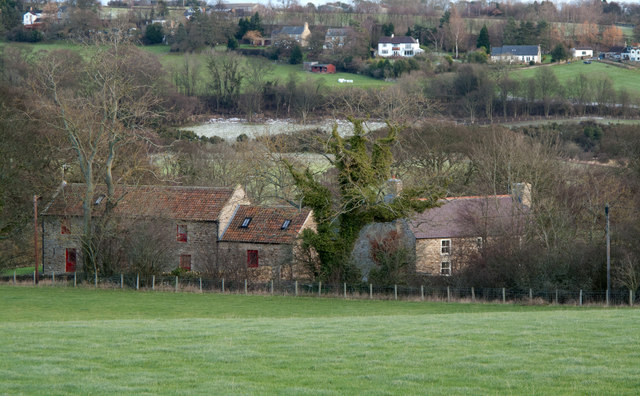
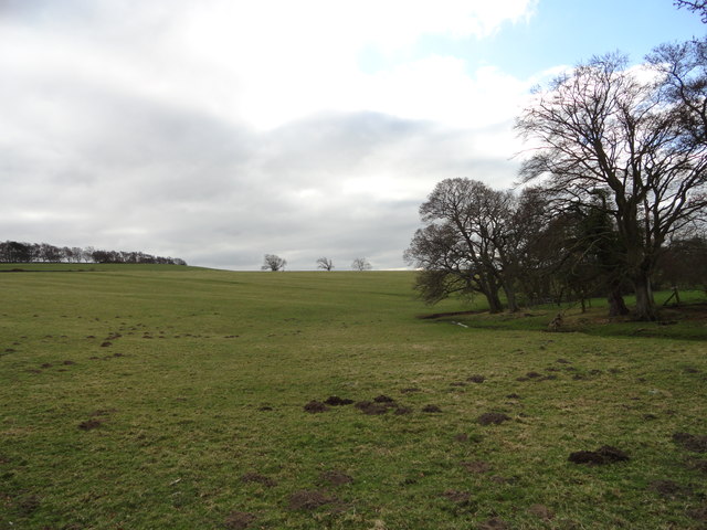
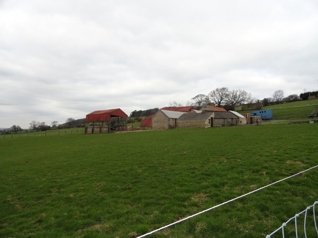
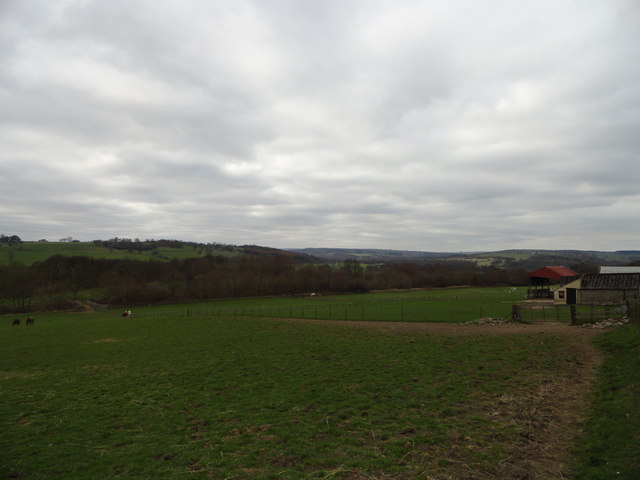
Oak Wood in Durham is a charming and picturesque forest located in the northeastern region of England. Covering an area of approximately 100 hectares, this woodland is renowned for its dense population of oak trees, which dominate the landscape and lend the forest its name. The forest is situated in a rural setting, providing a tranquil escape from the bustling city life.
The woodland boasts a rich variety of flora and fauna, with an abundance of native species thriving within its boundaries. In addition to the majestic oak trees, visitors can expect to encounter an array of wildflowers, ferns, and shrubs that contribute to the forest's vibrant ecosystem. The forest floor is often carpeted with bluebells during the springtime, creating a stunning visual spectacle.
Oak Wood is a haven for wildlife enthusiasts and nature lovers, as it provides a habitat for numerous animal species. The forest is home to deer, foxes, badgers, and squirrels, among others. Birdwatchers will also be delighted to spot a variety of avian species, including woodpeckers, owls, and various songbirds.
For visitors seeking outdoor recreational activities, Oak Wood offers several walking trails that wind through the forest, providing ample opportunities for leisurely strolls and exploration. The forest is well-maintained, with clear paths and signposts ensuring a safe and enjoyable experience for all. In addition, there are designated picnic areas where visitors can relax and enjoy a meal amidst the serene surroundings.
Oak Wood in Durham is a true gem, offering a serene and picturesque retreat for nature enthusiasts and those seeking respite from the urban hustle and bustle. Its diverse ecosystem and well-maintained trails make it an ideal destination for outdoor activities and a must-visit for anyone exploring the region.
If you have any feedback on the listing, please let us know in the comments section below.
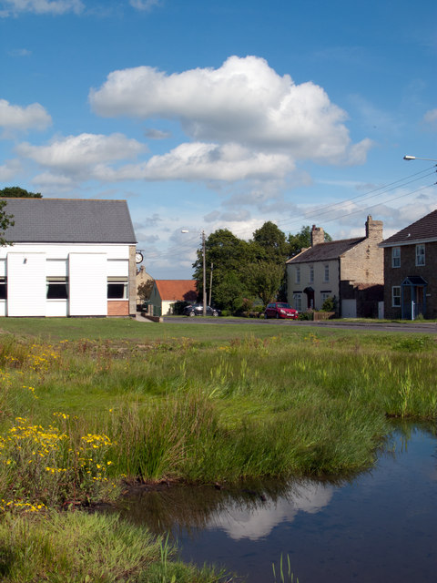
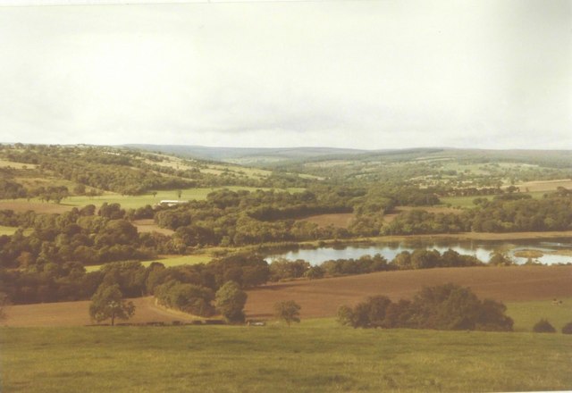
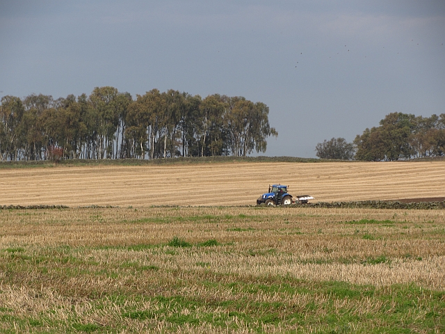
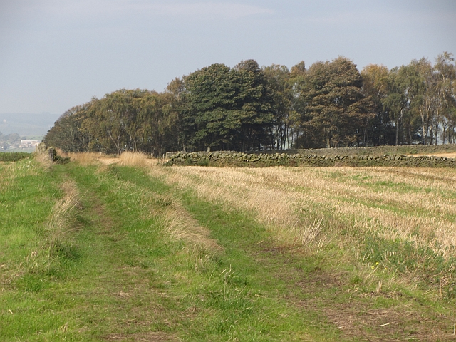
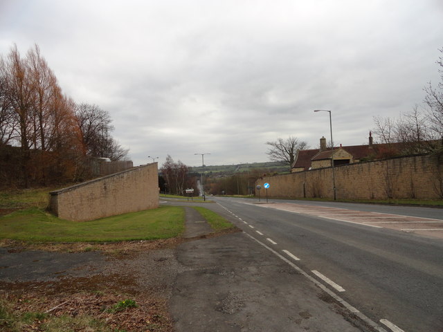
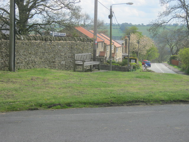
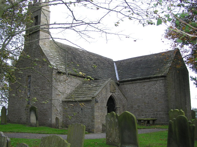
Oak Wood Images
Images are sourced within 2km of 54.679198/-1.8013785 or Grid Reference NZ1231. Thanks to Geograph Open Source API. All images are credited.


Oak Wood is located at Grid Ref: NZ1231 (Lat: 54.679198, Lng: -1.8013785)
Unitary Authority: County Durham
Police Authority: Durham
What 3 Words
///recital.along.toasters. Near Hamsterley, Co. Durham
Nearby Locations
Related Wikis

Bedburn Beck
Bedburn Beck is a 16.8 kilometres (10.4 mi) long, upper tributary of the River Wear in County Durham, England. The beck and its tributaries, including...
Hamsterley, Bishop Auckland
Hamsterley is a village in County Durham, England. It is situated a few miles west of Bishop Auckland. The village lies on a rise above the upper reaches...

Witton-le-Wear
Witton-le-Wear is a village in County Durham, North East England. It is situated on the north bank of the River Wear, 6 km (3.7 mi) to the north-west of...

Witton-le-Wear railway station
Witton-le-Wear railway station is a railway station on the Weardale heritage railway serves the village of Witton-le-Wear in County Durham, North East...

County Durham
County Durham, officially simply Durham (/ˈdʌrəm/), is a ceremonial county in North East England. The county borders Northumberland and Tyne and Wear to...
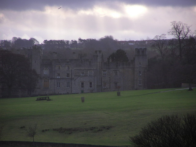
Witton Castle
Witton Castle is a much-altered 15th-century castle, which is the centrepiece of a holiday and caravan country park at Witton le Wear, near Bishop Auckland...

Bedburn
Bedburn is a village in County Durham, in England. It is in the civil parish of South Bedburn, near Hamsterley, and Hamsterley Forest. The Bedburn Beck...

South Bedburn
South Bedburn is a civil parish in County Durham, England. The population of the civil parish at the 2011 census was 171. == References == == External... ==
Nearby Amenities
Located within 500m of 54.679198,-1.8013785Have you been to Oak Wood?
Leave your review of Oak Wood below (or comments, questions and feedback).