Elland Park Wood

Wood, Forest in Yorkshire

England

Elland Park Wood

Calderdale Royal Hospital, Halifax This is a revisit to the first geograph of the square, taken in July 2005. Little change; the small trees are bigger and there are some new signs in the car park.
Calderdale Royal Hospital, Halifax Credit: Humphrey Bolton

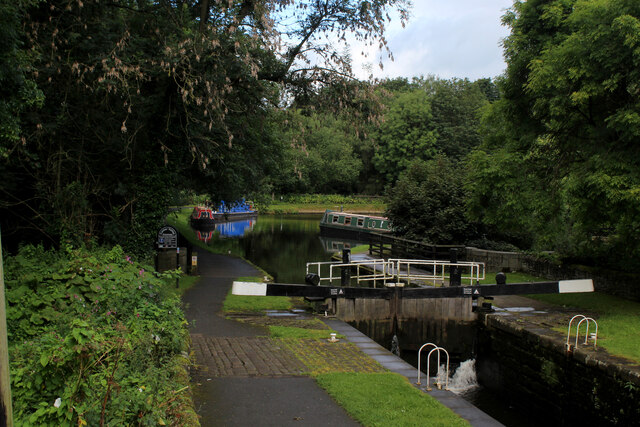
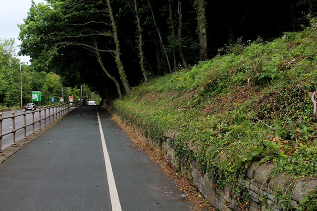
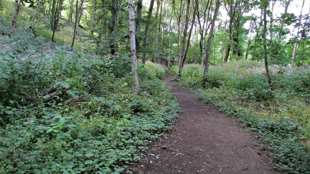
Elland Park Wood is a charming woodland located in the county of Yorkshire, England. Situated near the town of Elland, this picturesque forest covers an area of approximately 50 hectares. The woodland is easily accessible, with various entrances and footpaths for visitors to explore its natural beauty.

The wood is primarily made up of broadleaf trees, such as oak, beech, and birch, creating a diverse and vibrant habitat for a wide range of flora and fauna. Bluebells carpet the forest floor during the spring months, creating a stunning display of color and fragrance. The wood is also home to a variety of bird species, including woodpeckers, owls, and robins, making it a haven for birdwatchers and nature enthusiasts.

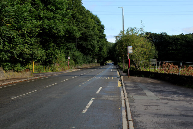
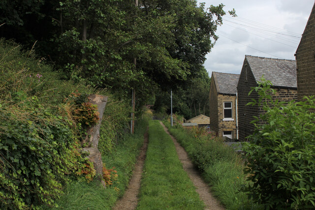
There are several walking trails within Elland Park Wood, allowing visitors to immerse themselves in its tranquil atmosphere. These paths wind through the forest, offering glimpses of scenic viewpoints and hidden glades. The wood is also intersected by a peaceful stream, which adds to its charm and provides opportunities for wildlife observation.

The management of Elland Park Wood is overseen by the local council, who aim to maintain its natural beauty while encouraging public enjoyment and understanding of the woodland ecosystem. The wood is well-maintained, with regular tree planting and maintenance programs to ensure the health and longevity of the forest.

Overall, Elland Park Wood is a stunning natural gem in Yorkshire, offering visitors the chance to escape the hustle and bustle of everyday life and immerse themselves in the tranquility of nature.

If you have any feedback on the listing, please let us know in the comments section below.

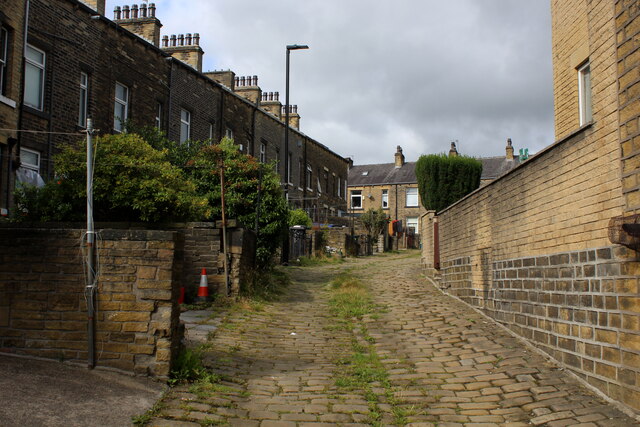
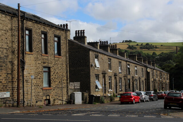
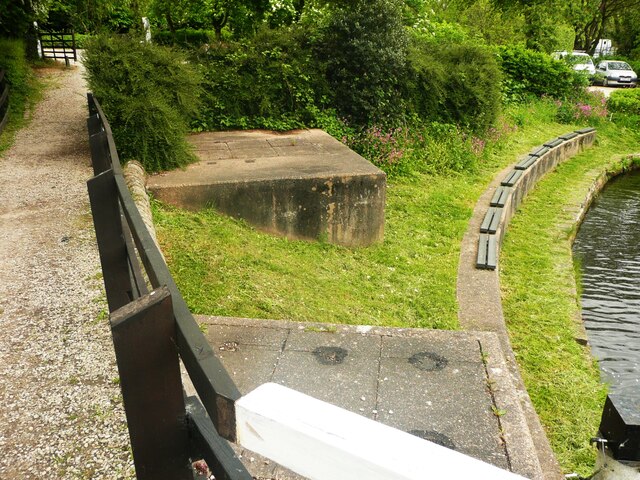
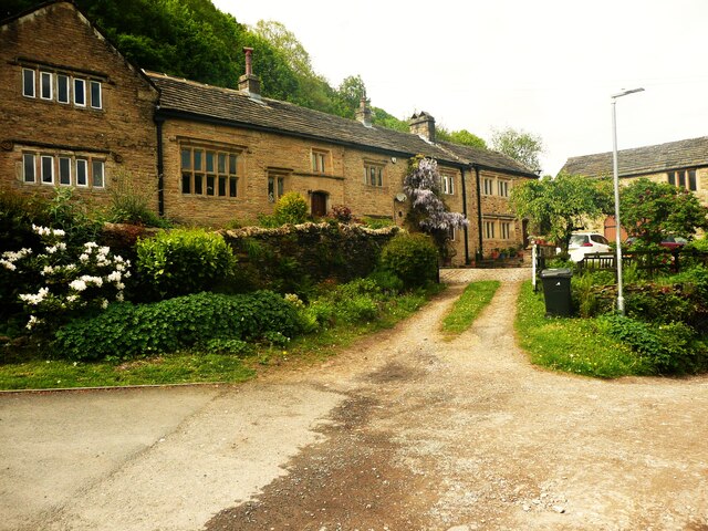
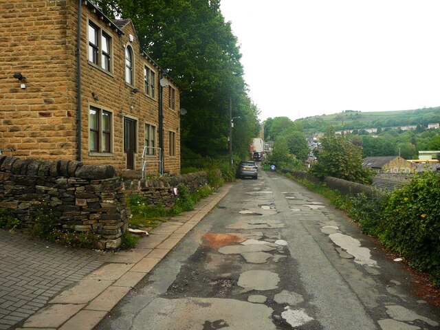
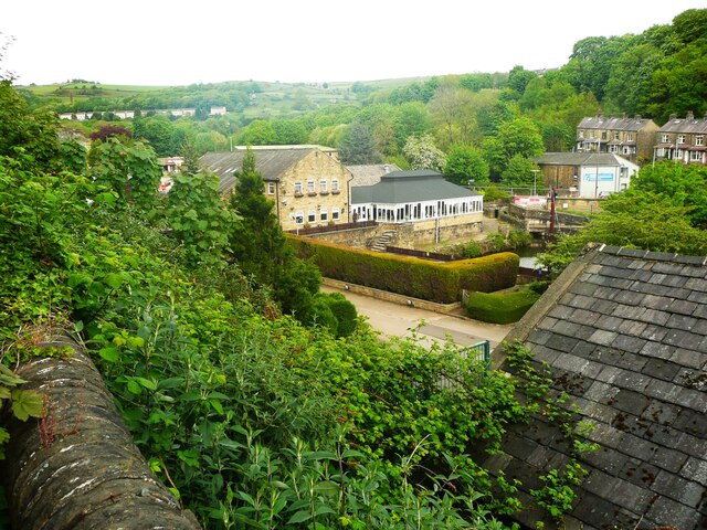
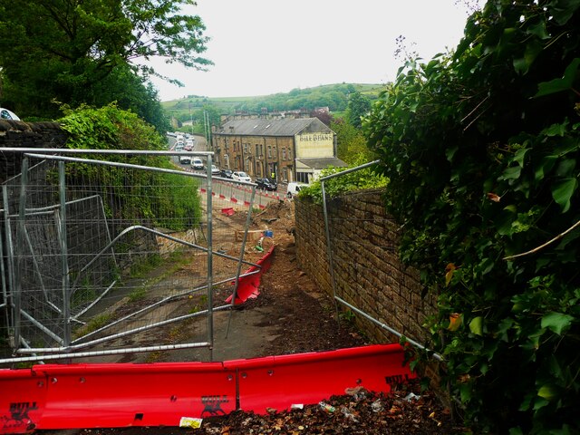
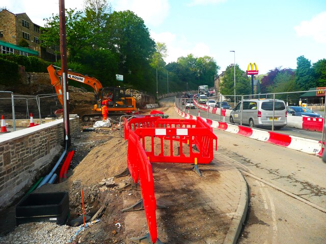
Elland Park Wood Images

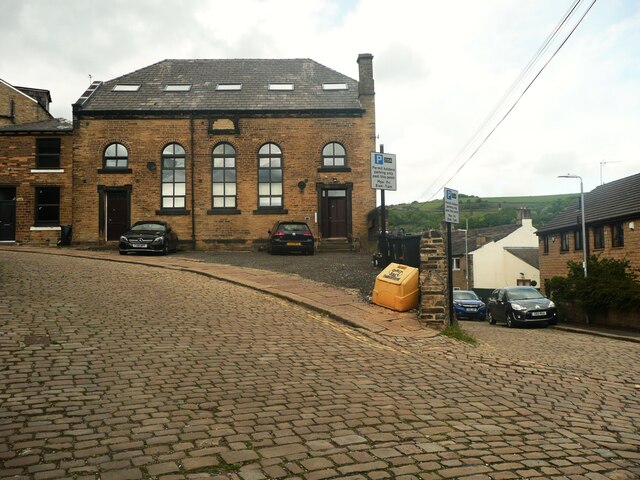
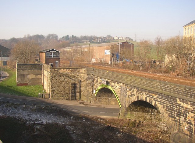
Images are sourced within 2km of 53.697867/-1.8320418 or Grid Reference SE1122. Thanks to Geograph Open Source API. All images are credited.

Calderdale Royal Hospital, Halifax This is a revisit to the first geograph of the square, taken in July 2005. Little change; the small trees are bigger and there are some new signs in the car park.
Calderdale Royal Hospital, Halifax
This is a revisit to the first geograph of the square, taken in July 2005. Little change; the small trees are bigger and there are some new signs in the car park.
Stainland Road B6112 heading north towards Halifax
Stainland Road
B6112 heading north towards Halifax
Victoria Mill, West Vale Former textile mill now converted into smaller units
Victoria Mill, West Vale
Former textile mill now converted into smaller units
Calderdale Way on Dean End The long distance path heading for West Vale
Calderdale Way on Dean End
The long distance path heading for West Vale
Calder and Hebble Navigation at Salterhebble
Pedestrian and Cycle Path below Elland Wood The cycle and pedestrian path squeezed between Elland Woods and the A629. The Calderdale Way long distance footpath is compelled to follow this busy road for a short stretch.
Pedestrian and Cycle Path below Elland Wood
The cycle and pedestrian path squeezed between Elland Woods and the A629. The Calderdale Way long distance footpath is compelled to follow this busy road for a short stretch.
Terraced Houses on Salterhebble Hill This is a view from behind this row of terraces, taken from the McDonald's Car Park.
The A629 passes by the front of these houses.
Terraced Houses on Salterhebble Hill
This is a view from behind this row of terraces, taken from the McDonald's Car Park. The A629 passes by the front of these houses.
The Ground of Siddal Rugby League Club An amateur rugby league club currently playing in the National Conference, based on Exley Lane in Halifax
The Ground of Siddal Rugby League Club
An amateur rugby league club currently playing in the National Conference, based on Exley Lane in Halifax
Back of Stafford Parade, Halifax Cobbled alleyways behind rows of terraced houses
Back of Stafford Parade, Halifax
Cobbled alleyways behind rows of terraced houses
Westbourne Grove, Halifax
Concrete chambers at the Salterhebble canal locks, Halifax The chamber in the foreground is on the bypass culvert, see <a href="https://www.geograph.org.uk/photo/4208000">SE0922 : Bypass flow at Salterhebble</a>. The boards on the curved wall look to be for sitting on.
Concrete chambers at the Salterhebble canal locks, Halifax
The chamber in the foreground is on the bypass culvert, see SE0922 : Bypass flow at Salterhebble. The boards on the curved wall look to be for sitting on.
Bank House, Salterhebble, Halifax A large 17C house, listed, Grade II star.
Bank House, Salterhebble, Halifax
A large 17C house, listed, Grade II star.
Bankhouse Lane, Halifax
The Watermill pub-restaurant, Halifax This view is from Bankhouse Lane. The pub is a Brewers Fayre house.
The Watermill pub-restaurant, Halifax
This view is from Bankhouse Lane. The pub is a Brewers Fayre house.
The north end of Bankhouse Lane, Halifax This is closed whilst the main road is being widened.
The north end of Bankhouse Lane, Halifax
This is closed whilst the main road is being widened.
Road widening at the foot of Salterhebble Hill, Halifax
Former chapel, Chapel Lane, Halifax Unfortunately the plaque has been deliberately defaced, so I don't know which denomination built this chapel and when, but it was last used by the Christadelphians, see <a href="https://www.geograph.org.uk/photo/582693">SE0923 : Christadelphian Hall, Skircoat, Halifax</a>. The road to the right is Falcon Street.
Former chapel, Chapel Lane, Halifax
Unfortunately the plaque has been deliberately defaced, so I don't know which denomination built this chapel and when, but it was last used by the Christadelphians, see SE0923 : Christadelphian Hall, Skircoat, Halifax. The road to the right is Falcon Street.
Path on the Stainland Branch Railway Trackbed In North Dean Wood now but approaching where the branch joined the main line east of the then Greetland Station
Path on the Stainland Branch Railway Trackbed
In North Dean Wood now but approaching where the branch joined the main line east of the then Greetland Station
Show me another place!

Elland Park Wood is located at Grid Ref: SE1122 (Lat: 53.697867, Lng: -1.8320418)

Division: West Riding

Unitary Authority: Calderdale

Police Authority: West Yorkshire

What 3 Words

///exit.gender.beyond. Near Elland, West Yorkshire

Related Wikis

Suma (co-operative)

Suma is the trading name of the Triangle Wholefoods Collective Limited, a worker co-operative wholefoods wholesaler. It was founded in Leeds in 1977 and...

Elland Power Station

Elland Power Station was a coal-fired power station situated adjacent to the Manchester to Wakefield railway line and on a loop of the River Calder, north...

Elland railway station

Elland railway station served the town of Elland in West Yorkshire, England until 1962. == History == The station was originally opened on 5 October 1840...

Park Lane Academy

Park Lane Academy is a non-selective mixed secondary school located in Exley (near Halifax), West Yorkshire, England.Originally known as Exley County Secondary...

Nearby Amenities

Located within 500m of 53.697867,-1.8320418
Park Nook Lock
Material: wood
Seamark Type: gate
Source: GPX glitch
Waterway: lock_gate
Lat/Long: 53.6955877/-1.8301582
Design: barrel
Power: tower
Lat/Long: 53.7014733/-1.8351564
Bus Stop
Park Wood
Local Ref: 45022619
Naptan AtcoCode: 450022619
Naptan Bearing: SW
Naptan CommonName: Park Wood
Naptan Crossing: Park Wood Crematorium
Naptan Indicator: Stop 45022619
Naptan Landmark: Collier Arms PH
Naptan PlusbusZoneRef: LEEDS
Naptan ShortCommonName: Collier Arms
Naptan Street: Park Road
Naptan Verified: no
Source: naptan_import
Lat/Long: 53.6948381/-1.8318139
Bus Stop
Park Wood
Local Ref: 45022620
Naptan AtcoCode: 450022620
Naptan Bearing: NE
Naptan CommonName: Park Wood
Naptan Crossing: Park Wood Crematorium
Naptan Indicator: Stop 45022620
Naptan Landmark: Colliers Arms PH
Naptan PlusbusZoneRef: LEEDS
Naptan ShortCommonName: Collier Arms
Naptan Street: Park Road
Naptan Verified: no
Source: naptan_import
Lat/Long: 53.6947576/-1.832102
Bus Stop
River Bank Way
Local Ref: 45025653
Naptan AtcoCode: 450025653
Naptan Bearing: NE
Naptan CommonName: River Bank Way
Naptan Crossing: Lacy Way
Naptan Indicator: Stop 45025653
Naptan Landmark: Lowfields Business Park
Naptan PlusbusZoneRef: LEEDS
Naptan ShortCommonName: River Bank Way
Naptan Street: River Bank Way
Naptan Verified: no
Shelter: no
Source: naptan_import
Lat/Long: 53.6950018/-1.8268154
Bus Stop
River Bank Way
Local Ref: 45025710
Naptan AtcoCode: 450025710
Naptan Bearing: SW
Naptan CommonName: River Bank Way
Naptan Crossing: Nr-At Lacy Way
Naptan Indicator: Stop 45025710
Naptan Landmark: Lowfields Business Park
Naptan PlusbusZoneRef: LEEDS
Naptan ShortCommonName: Lacy Way
Naptan Street: River Bank Way
Naptan Verified: no
Source: naptan_import
Lat/Long: 53.6963482/-1.8255679
Turning Circle
Lat/Long: 53.6937396/-1.8297464
Turning Circle
Lat/Long: 53.694878/-1.8287675
Power: tower
Lat/Long: 53.696674/-1.8300297
Park Nook Lock
Material: wood
Seamark Type: gate
Waterway: lock_gate
Lat/Long: 53.6957213/-1.8299537
Ford: yes
Lat/Long: 53.6972839/-1.8395294
Location Transition: yes
Power: pole
Lat/Long: 53.6941322/-1.8331504
Location Transition: yes
Power: pole
Lat/Long: 53.6939047/-1.8324175
Generator Method: wind_turbine
Generator Source: wind
Power: generator
Lat/Long: 53.7009388/-1.8308171
Generator Method: wind_turbine
Generator Source: wind
Power: generator
Lat/Long: 53.7017549/-1.8309673
Generator Method: photovoltaic
Generator Output Electricity: yes
Generator Source: solar
Generator Type: solar_photovoltaic_panel
Power: generator
Lat/Long: 53.6955678/-1.8255692
Defibrillator
Access: yes
Defibrillator Location: outside Waters Edge Day Nursery, Park Road, Elland
Emergency: defibrillator
Indoor: no
Lat/Long: 53.6950956/-1.8313138
The data included in this document is from www.openstreetmap.org. The data is made available under ODbL.

Have you been to Elland Park Wood?

Leave your review of Elland Park Wood below (or comments, questions and feedback).