Binns Wood

Wood, Forest in Yorkshire

England

Binns Wood

The Ground of Siddal Rugby League Club An amateur rugby league club currently playing in the National Conference, based on Exley Lane in Halifax
The Ground of Siddal Rugby League Club Credit: Chris Heaton

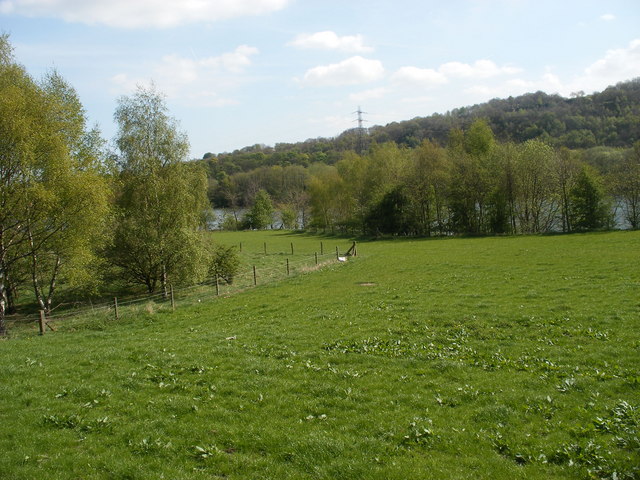
Binns Wood is a picturesque forest located in the county of Yorkshire, in the northern part of England. Covering an area of approximately 100 hectares, the wood is situated near the village of Binns, nestled within the rolling hills and verdant landscapes that characterize the region.

The wood boasts a diverse range of tree species, including oak, beech, and birch, which create a rich and vibrant canopy that stretches as far as the eye can see. This lush woodland provides a habitat for numerous wildlife species, such as deer, squirrels, and a variety of bird species, making it a haven for nature enthusiasts and photographers alike.

Visitors to Binns Wood can explore a network of well-maintained trails that wind their way through the forest, offering stunning views and opportunities for peaceful walks and hikes. The tranquil atmosphere and the sound of birdsong create a serene environment, perfect for those seeking solace in nature.

Additionally, Binns Wood features several picnic areas, allowing visitors to enjoy a leisurely lunch amidst the beauty of the surroundings. The wood is also home to a small visitor center, providing information about the local flora and fauna, as well as the history and conservation efforts of the wood.

With its natural beauty and peaceful ambiance, Binns Wood is a popular destination for both locals and tourists seeking a respite from the hustle and bustle of everyday life. Whether it is for a leisurely stroll, a family picnic, or birdwatching, this enchanting forest offers a truly memorable experience for all who venture within its leafy embrace.

If you have any feedback on the listing, please let us know in the comments section below.
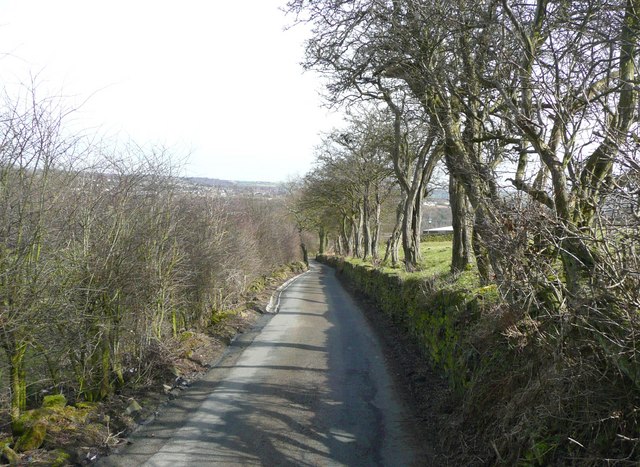
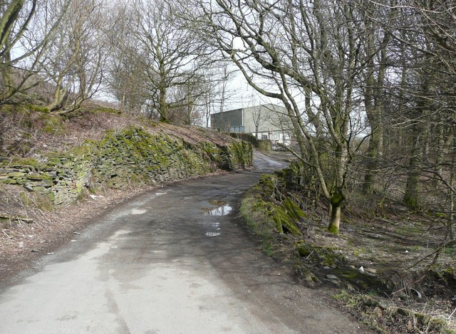
Binns Wood Images

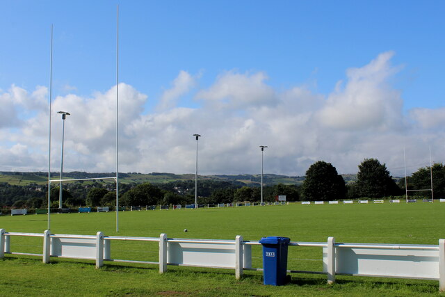
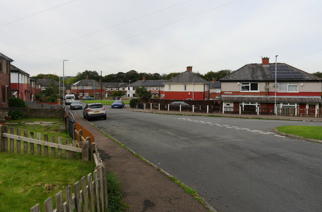
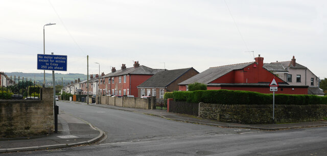
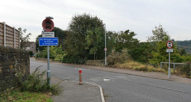
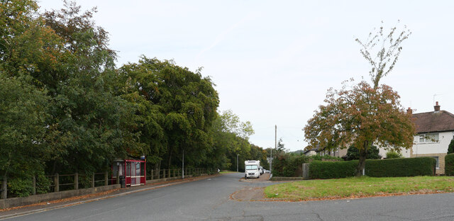
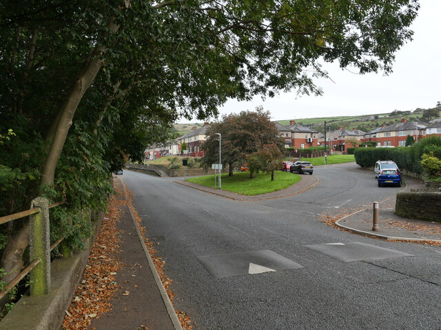
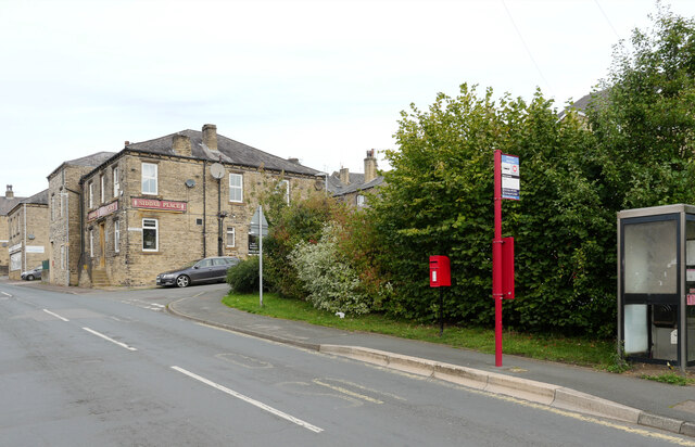
Images are sourced within 2km of 53.700828/-1.8222906 or Grid Reference SE1122. Thanks to Geograph Open Source API. All images are credited.

The Ground of Siddal Rugby League Club An amateur rugby league club currently playing in the National Conference, based on Exley Lane in Halifax
The Ground of Siddal Rugby League Club
An amateur rugby league club currently playing in the National Conference, based on Exley Lane in Halifax
Backhold Drive, Siddal, Halifax
Exley Gardens, Siddal, Halifax
Backhold Lane, Siddal, Halifax
The junction of Backhold Lane and Park Lane, Siddal, Halifax
The junction of Backhold Lane and Backhold Drive, Siddal, Halifax
Oxford Lane, Siddal, Halifax A close-up of the post box can be seen in <a href="https://www.geograph.org.uk/photo/7630566">SE0923 : Post box, Oxford Lane, Siddal, Halifax</a>.
Oxford Lane, Siddal, Halifax
A close-up of the post box can be seen in SE0923 : Post box, Oxford Lane, Siddal, Halifax.
Post box, Oxford Lane, Siddal, Halifax This post box can be seen in context in <a href="https://www.geograph.org.uk/photo/7630565">SE0923 : Oxford Lane, Siddal, Halifax</a>.
Post box, Oxford Lane, Siddal, Halifax
This post box can be seen in context in SE0923 : Oxford Lane, Siddal, Halifax.
Calder Valley near Cromwell Bottom
Mills and railway bridge in Elland
Oxford Lane, Siddal
Oxford Lane, Siddal
Upper Exley farmland Taken from due east of the nearest electricity tower (just out of the picture to the right) to the west outcrop of Elland Park Woods. The towers are carrying 400kV trunk network cables for National Grid. The photo looks out across farmland either side of Exley Lane, towards the ribbon of residential properties along the A629 Elland Wood Bottom.
Upper Exley farmland
Taken from due east of the nearest electricity tower (just out of the picture to the right) to the west outcrop of Elland Park Woods. The towers are carrying 400kV trunk network cables for National Grid. The photo looks out across farmland either side of Exley Lane, towards the ribbon of residential properties along the A629 Elland Wood Bottom.
Hole in a wall, Twinge Lane, Southowram Seems too small to let sheep through, and you wouldn't want lambs to escape into the lane.
Hole in a wall, Twinge Lane, Southowram
Seems too small to let sheep through, and you wouldn't want lambs to escape into the lane.
Flagstone fence off Twinge Lane, Southowram These fences made from thin slabs of stone are gradually disappearing. This one is unusually well preserved, although not complete.
Flagstone fence off Twinge Lane, Southowram
These fences made from thin slabs of stone are gradually disappearing. This one is unusually well preserved, although not complete.
Entrance to Ingfield Farm Shop
Law Farm, Southowram Taken from Twinge Lane
Law Farm, Southowram
Taken from Twinge Lane
Whitley Lane, Southowram A cul-de-sac for vehicles.
Whitley Lane, Southowram
A cul-de-sac for vehicles.
Sunny Bank Lane, Southowram A public footpath, Brighouse 030.
Sunny Bank Lane, Southowram
A public footpath, Brighouse 030.
Show me another place!

Binns Wood is located at Grid Ref: SE1122 (Lat: 53.700828, Lng: -1.8222906)

Division: West Riding

Unitary Authority: Calderdale

Police Authority: West Yorkshire

What 3 Words

///composers.friday.vast. Near Southowram, West Yorkshire

Related Wikis

Suma (co-operative)

Suma is the trading name of the Triangle Wholefoods Collective Limited, a worker co-operative wholefoods wholesaler. It was founded in Leeds in 1977 and...

Elland Power Station

Elland Power Station was a coal-fired power station situated adjacent to the Manchester to Wakefield railway line and on a loop of the River Calder, north...

Southowram

Southowram () is a village and former civil parish in Calderdale, West Yorkshire, England. It stands on hill top between Halifax and Brighouse, on the...

Brookfoot

Brookfoot is a village in Calderdale West Yorkshire, England. It lies between the towns of Elland and Brighouse on the A6025 (Elland Road). The Calder...

Nearby Amenities

Located within 500m of 53.700828,-1.8222906
Design: barrel
Power: tower
Lat/Long: 53.7050956/-1.8223683
Design: barrel
Power: tower
Lat/Long: 53.7037822/-1.8270277
Bus Stop
Elland Road
Local Ref: 45022617
Naptan AtcoCode: 450022617
Naptan Bearing: SW
Naptan CommonName: Elland Road
Naptan Crossing: Binns Top Lane
Naptan Indicator: Stop 45022617
Naptan Landmark: W T Knowles & Son Ltd
Naptan PlusbusZoneRef: LEEDS
Naptan ShortCommonName: Rawson Arms
Naptan Street: Elland Road
Naptan Verified: no
Source: naptan_import
Lat/Long: 53.6980169/-1.8234406
Bus Stop
Elland Road
Local Ref: 45022618
Naptan AtcoCode: 450022618
Naptan Bearing: E
Naptan CommonName: Elland Road
Naptan Crossing: Nr-At Binns Top Lane
Naptan Indicator: Stop 45022618
Naptan Notes: L/C 44
Naptan PlusbusZoneRef: LEEDS
Naptan ShortCommonName: Rawson Arms
Naptan Street: Elland Road
Naptan Verified: no
Source: naptan_import
Lat/Long: 53.6981514/-1.8231825
Power: tower
Lat/Long: 53.6992343/-1.8180692
Power: tower
Lat/Long: 53.6980183/-1.8201897
Power: tower
Lat/Long: 53.6981707/-1.819192
Power: tower
Lat/Long: 53.6989085/-1.8176855
Power: tower
Lat/Long: 53.6994266/-1.818504
Power: tower
Lat/Long: 53.6993402/-1.815898
Power: tower
Lat/Long: 53.7013114/-1.8193355
Generator Method: wind_turbine
Generator Source: wind
Power: generator
Lat/Long: 53.7028445/-1.8253652
Man Made: chimney
Material: brick
Lat/Long: 53.6985096/-1.8233415
Man Made: chimney
Material: brick
Lat/Long: 53.6987939/-1.8227031
The data included in this document is from www.openstreetmap.org. The data is made available under ODbL.

Have you been to Binns Wood?

Leave your review of Binns Wood below (or comments, questions and feedback).