Highbush Wood

Wood, Forest in Northumberland

England

Highbush Wood

Cottages, Netherwitton
Cottages, Netherwitton Credit: JThomas

Highbush Wood is a picturesque forest located in the county of Northumberland, England. Situated in the northern part of the county, the wood is nestled within the scenic landscape of the Northumberland National Park. With a total area of approximately 500 hectares, Highbush Wood is a significant natural resource and a popular destination for nature enthusiasts and tourists alike.

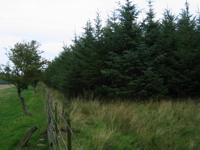
The wood is predominantly made up of native tree species, including oak, ash, birch, and beech, which create a diverse and vibrant ecosystem. The dense canopy provides a habitat for a variety of wildlife, including numerous bird species, mammals, and insects. Additionally, the forest floor is adorned with a carpet of wildflowers and ferns during the spring and summer months.

Several walking trails wind their way through Highbush Wood, allowing visitors to explore the natural beauty at their own pace. These trails are well-maintained and offer breathtaking views of the surrounding countryside. The wood also features designated picnic areas, making it an ideal spot for a family outing or a peaceful retreat.

Highbush Wood is not only valued for its natural beauty but also for its historical significance. The wood has been used for centuries as a source of timber and fuel, and remnants of old saw pits and charcoal platforms can still be found scattered throughout the area.

Overall, Highbush Wood is a captivating destination that offers a tranquil escape from the bustling city life. Its rich biodiversity, stunning landscapes, and historical heritage make it a cherished gem within Northumberland's natural landscape.

If you have any feedback on the listing, please let us know in the comments section below.

Highbush Wood Images

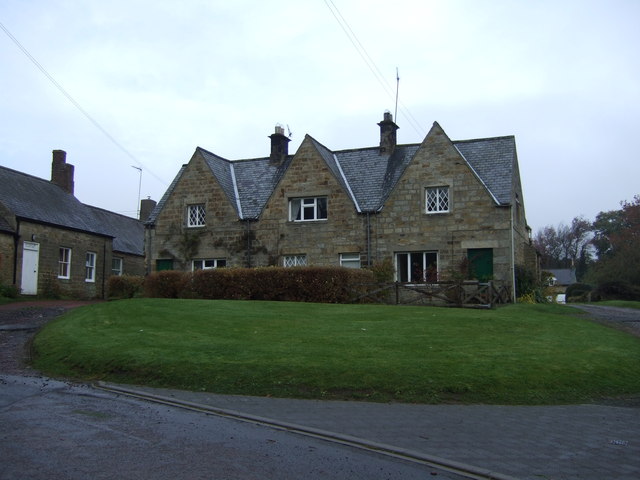
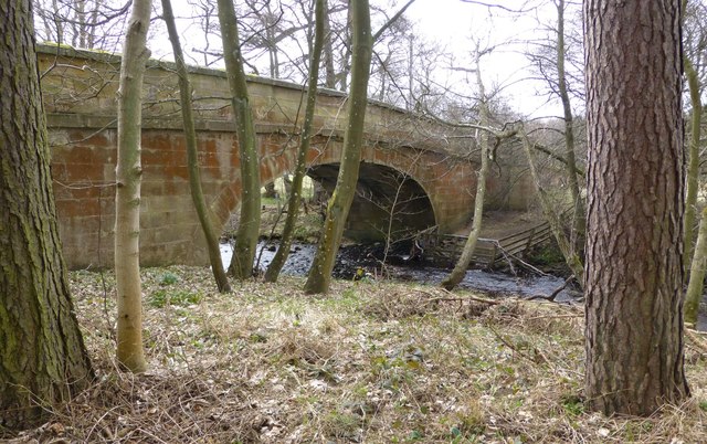
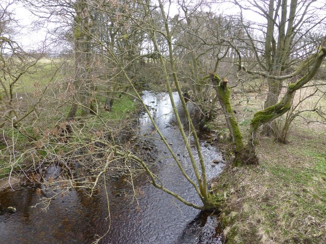
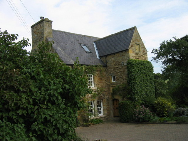
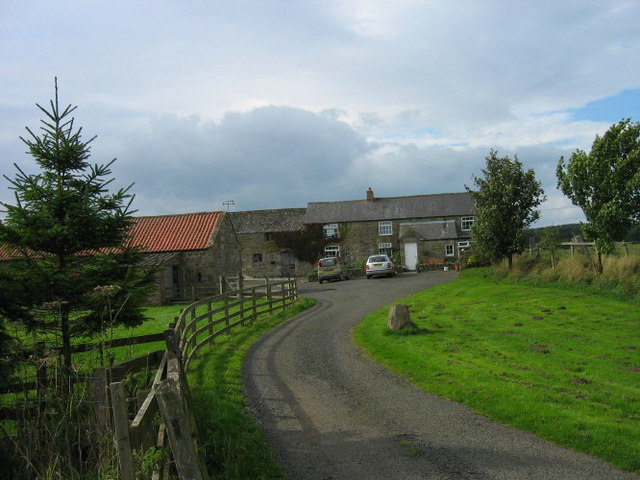
Images are sourced within 2km of 55.21726/-1.8257136 or Grid Reference NZ1191. Thanks to Geograph Open Source API. All images are credited.

Cottages, Netherwitton
Road through Netherwitton
War Memorial, Netherwitton
War memorial at Netherwitton Beside the Ewesley Burn.
War memorial at Netherwitton
Beside the Ewesley Burn.
Crossford Bridge Over the River Font.
Crossford Bridge
Over the River Font.
River Font Looking upstream from Crossford Bridge.
River Font
Looking upstream from Crossford Bridge.
Ford at Flaggy Ford This ford is found along a new track on the River Font at Flaggy Ford. A number of herons were seen along the river on our visit.
Ford at Flaggy Ford
This ford is found along a new track on the River Font at Flaggy Ford. A number of herons were seen along the river on our visit.
Netherwitton Hall Netherwitton Hall is a large rectangular building. The main house appears to have been built in the late 17th century, but the back of the house appears to have been built at an earlier date. It has a stair turret with blocked windows. These early remains may be all that remains of a medieval fortified tower. 

(Reproduced from <span class="nowrap"><a title="http://www.durham.gov.uk/durhamcc/K2P.nsf/K2PDetail?readform&PRN=N11375)" rel="nofollow ugc noopener" href="http://www.durham.gov.uk/durhamcc/K2P.nsf/K2PDetail?readform&PRN=N11375)">Link</a><img style="margin-left:2px;" alt="External link" title="External link - shift click to open in new window" src="https://s1.geograph.org.uk/img/external.png" width="10" height="10"/></span>
Netherwitton Hall
Netherwitton Hall is a large rectangular building. The main house appears to have been built in the late 17th century, but the back of the house appears to have been built at an earlier date. It has a stair turret with blocked windows. These early remains may be all that remains of a medieval fortified tower. (Reproduced from LinkExternal link
Netherwitton Mill This mill was built in 1787 and stands next to the River Font.  It began as a cotton mill, but was soon converted to woollens and finally became a sawmill.  Well restored as a number of housing units in 1988 after lying derelict for a number of years.
Netherwitton Mill
This mill was built in 1787 and stands next to the River Font. It began as a cotton mill, but was soon converted to woollens and finally became a sawmill. Well restored as a number of housing units in 1988 after lying derelict for a number of years.
St Giles, Netherwitton
Netherwitton Vicarage
Witton Shields Tower The Gatehouse Web Site: King writes this is a C17 domestic building, not a fortified tower. Dodds writes it is a late strong house. PastScape report it as "A bastle or fortified house, probably built in the early C17. A stone inscribed with the date 1608 and the initials N T (Nigel Thornton) is set above the door. The rear extensions were added in 1680 and the building was reduced in height by a storey circa 1914. One of the upper rooms of the house was used as a Roman Catholic chapel in the early C17. The house stands in pastureland, overlooking the dene of the Cowclose Burn on the north side, and the valley of the River Font to the south. It is a strongly constructed building of two storeys with a central stair turret and walls 1 metre thick. The rectangular building is built of stone rubble, with a slate roof." Recorded in survey of 1715 as "a large old building bellonging to Jon. Thornton, esq." SMR report that it is possible there was once a small watchtower on the western side of the roof.
Witton Shields Tower
The Gatehouse Web Site: King writes this is a C17 domestic building, not a fortified tower. Dodds writes it is a late strong house. PastScape report it as "A bastle or fortified house, probably built in the early C17. A stone inscribed with the date 1608 and the initials N T (Nigel Thornton) is set above the door. The rear extensions were added in 1680 and the building was reduced in height by a storey circa 1914. One of the upper rooms of the house was used as a Roman Catholic chapel in the early C17. The house stands in pastureland, overlooking the dene of the Cowclose Burn on the north side, and the valley of the River Font to the south. It is a strongly constructed building of two storeys with a central stair turret and walls 1 metre thick. The rectangular building is built of stone rubble, with a slate roof." Recorded in survey of 1715 as "a large old building bellonging to Jon. Thornton, esq." SMR report that it is possible there was once a small watchtower on the western side of the roof.
High Trewitley
High Trewitley
Fishing Pond On our weekly walk we had nominated this day Happy 90th Minute Day because one of my walking companions is a MAD Chester supporter who were beaten by Grimsby on Saturday by two goals both scored in the 90th minute.  Since this pond had no name we decided to call it 90th Minute Pond.
Fishing Pond
On our weekly walk we had nominated this day Happy 90th Minute Day because one of my walking companions is a MAD Chester supporter who were beaten by Grimsby on Saturday by two goals both scored in the 90th minute. Since this pond had no name we decided to call it 90th Minute Pond.
Linkham Lane
Linkham Lane
Doe Hill Farm, farm buildings
Track leading to Rayburn Lake
Footpath on the edge of Rayburn Lake Wood
Show me another place!

Highbush Wood is located at Grid Ref: NZ1191 (Lat: 55.21726, Lng: -1.8257136)

Unitary Authority: Northumberland

Police Authority: Northumbria

What 3 Words

///tickles.upwards.beauty. Near Longhorsley, Northumberland

Nearby Locations

Highbush Wood

Related Wikis

Netherwitton

Netherwitton is a village in Northumberland, England about 8 miles (13 km) west north west of Morpeth. A former cotton-mill now converted into residential...

Netherwitton Hall

Netherwitton Hall is a mansion house, and a Grade I listed building at Netherwitton, near Morpeth, Northumberland, England.The estate was owned by the...

Nunnykirk

Nunnykirk is a settlement and civil parish in the county of Northumberland, England. Nunnykirk is the location of Nunnykirk Hall, a former nunnery country...

Stanton, Northumberland

Stanton is a small hamlet and former civil parish, now in the parish of Netherwitton, in Northumberland, England, which is located 7 miles (11 km) north...

Nearby Amenities

Located within 500m of 55.21726,-1.8257136
Dunter Knowes
Place: locality
Lat/Long: 55.219638/-1.8301186
The data included in this document is from www.openstreetmap.org. The data is made available under ODbL.

Have you been to Highbush Wood?

Leave your review of Highbush Wood below (or comments, questions and feedback).