Curlybog Plantation
Wood, Forest in Northumberland
England
Curlybog Plantation
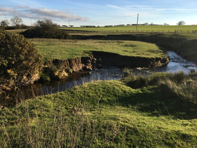
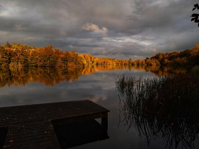
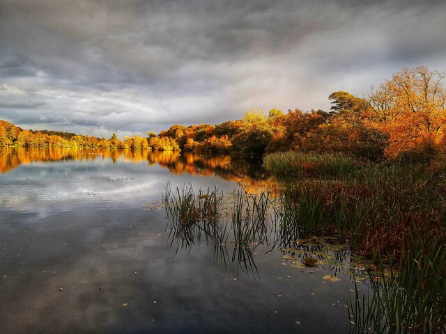
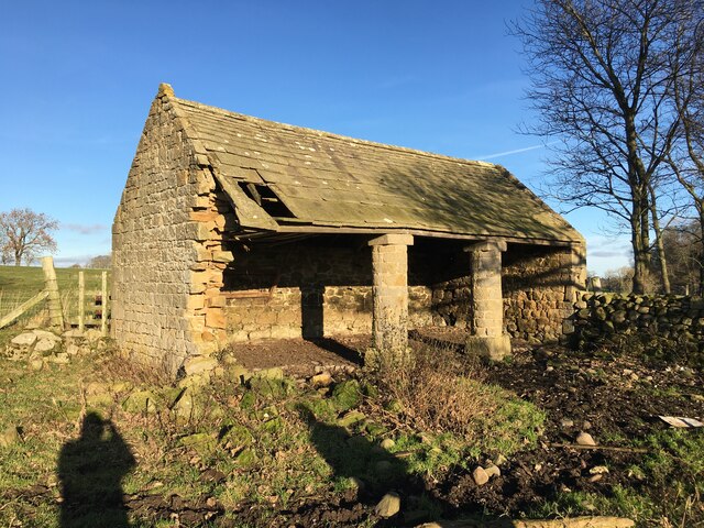
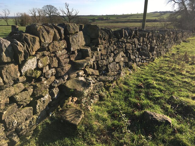
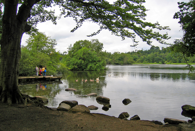
Curlybog Plantation is a picturesque woodland located in Northumberland, England. Nestled within the stunning landscape of the Northumberland National Park, it covers an expansive area and is a popular destination for nature lovers and outdoor enthusiasts.
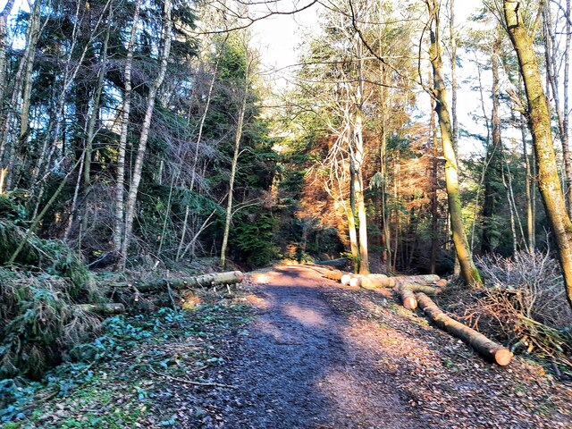
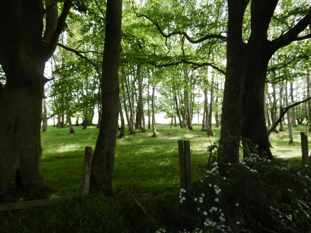
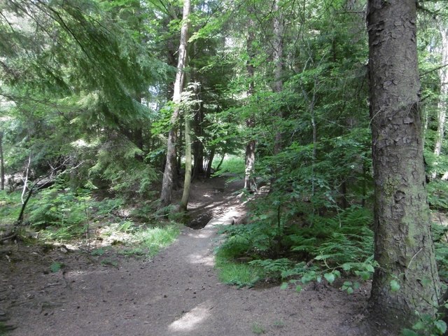
The plantation is characterized by its dense and diverse vegetation, which includes a variety of tree species such as oak, beech, and birch. The lush greenery creates a serene and tranquil atmosphere, offering visitors a peaceful retreat from the hustle and bustle of everyday life.
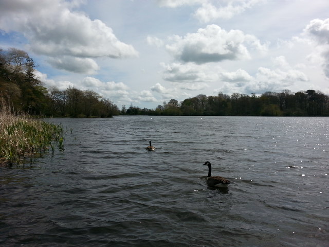
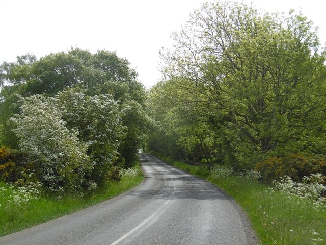
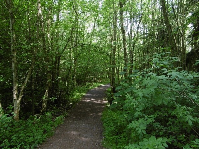
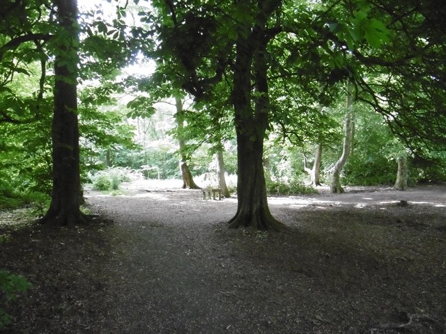
The woodland is crisscrossed with a network of well-maintained walking trails, allowing visitors to explore its natural beauty at their own pace. These trails provide opportunities for leisurely strolls, brisk hikes, or even cycling, catering to a range of fitness levels and preferences. Along the way, visitors may encounter an array of wildlife, including squirrels, birds, and the occasional deer.
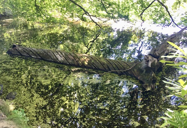
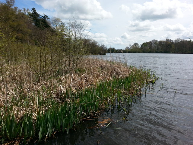
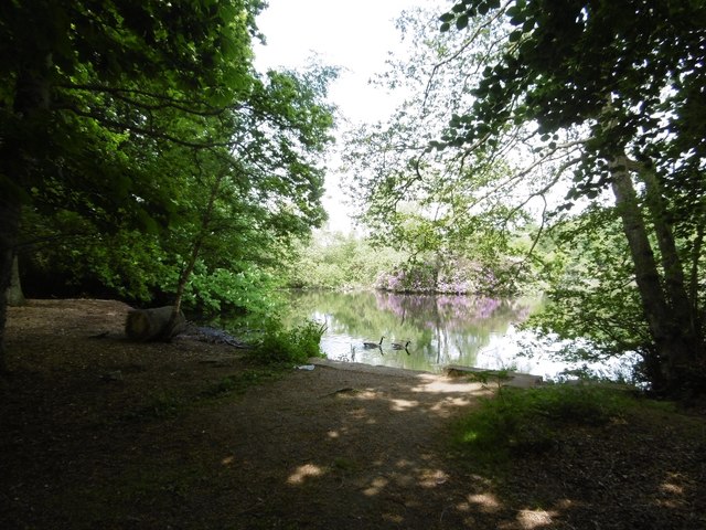
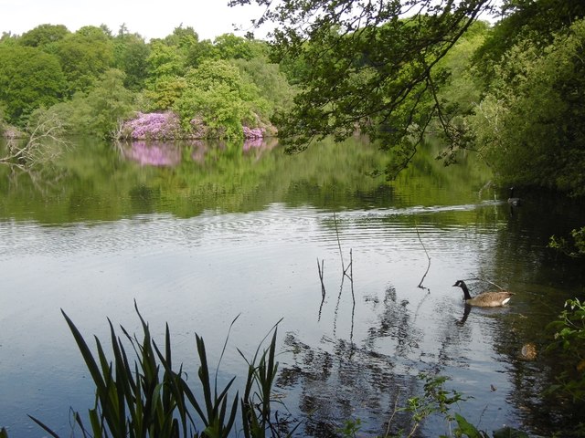
Curlybog Plantation is not only a haven for nature enthusiasts but also a valuable habitat for flora and fauna. The woodland provides a rich ecosystem that supports a wide variety of plant and animal species, contributing to the overall biodiversity of the region.
Additionally, the plantation is managed sustainably, with conservation efforts in place to preserve its natural beauty and protect the delicate ecosystem. This ensures that future generations can continue to enjoy the splendor of Curlybog Plantation for years to come.
Overall, Curlybog Plantation is a captivating woodland that offers a delightful escape into nature, providing a perfect destination for those seeking peace, tranquility, and a deeper connection with the natural world.
If you have any feedback on the listing, please let us know in the comments section below.
Curlybog Plantation Images
Images are sourced within 2km of 55.1254/-1.8805113 or Grid Reference NZ0781. Thanks to Geograph Open Source API. All images are credited.


Curlybog Plantation is located at Grid Ref: NZ0781 (Lat: 55.1254, Lng: -1.8805113)
Unitary Authority: Northumberland
Police Authority: Northumbria
What 3 Words
///playoffs.bunch.node. Near Hartburn, Northumberland
Nearby Locations
Related Wikis
Bolam Lake Country Park
Bolam Lake Country Park is a country park in Northumberland, England, near the village of Bolam and about 9 miles (14 km) west of Morpeth. It is signposted...

Slate Hill Settlement
Slate Hill Settlement is an archaeological site in Northumberland, England, near the village of Bolam and about 7 miles (11 km) west of Morpeth. The site...

Bolam West Houses
Bolam West Houses is a village in Northumberland, England. It is about 20 miles (32 km) to the north-west of Newcastle, close to Bolam. == References ==

The Poind and his Man
The Poind and his Man is a prehistoric site in Northumberland, England, near the village of Bolam and about 7 miles (11 km) west of Morpeth. The site,...
Huckhoe Settlement
Huckhoe Settlement is an archaeological site in Northumberland, England, near the village of Bolam and about 7 miles (11 km) west of Morpeth. The site...
Bolam, Northumberland
Bolam is a village and former civil parish, now in the parish of Belsay in the county of Northumberland, England. The village is about 20 miles (32 km...

Shaftoe Crags Settlement
Shaftoe Crags Settlement is an archaeological site in Northumberland, England, about 8 miles (13 km) west of Morpeth. The site at Shaftoe Crags, with remains...

Belsay Castle
Belsay Castle is a 14th-century medieval castle situated at Belsay, Northumberland, England. It is a Scheduled Monument and a Grade I listed building.The...
Nearby Amenities
Located within 500m of 55.1254,-1.8805113Have you been to Curlybog Plantation?
Leave your review of Curlybog Plantation below (or comments, questions and feedback).