Nothill Wood

Wood, Forest in Staffordshire East Staffordshire

England

Nothill Wood

Watery Lane near Beamhurst
Watery Lane near Beamhurst Credit: Alan Murray-Rust

Nothill Wood is a beautiful forest located in Staffordshire, England. Covering an area of approximately 100 acres, this woodland is a popular destination for nature lovers and outdoor enthusiasts. The wood is characterized by a diverse range of trees including oak, beech, and birch, creating a rich and varied ecosystem.

Visitors to Nothill Wood can enjoy various activities such as hiking, birdwatching, and picnicking. The forest is home to a variety of wildlife including deer, foxes, and a wide range of bird species, making it a great spot for wildlife spotting.

The wood is well-maintained with clearly marked trails and paths, making it easy for visitors to explore and navigate their way through the forest. There are also designated picnic areas and benches scattered throughout the wood, providing the perfect spot to relax and enjoy the peaceful surroundings.

Overall, Nothill Wood is a tranquil and picturesque forest that offers a peaceful escape from the hustle and bustle of everyday life. Whether you're looking to connect with nature, go for a leisurely stroll, or simply unwind in a serene setting, Nothill Wood has something to offer for everyone.

If you have any feedback on the listing, please let us know in the comments section below.
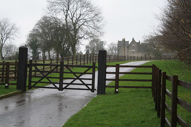
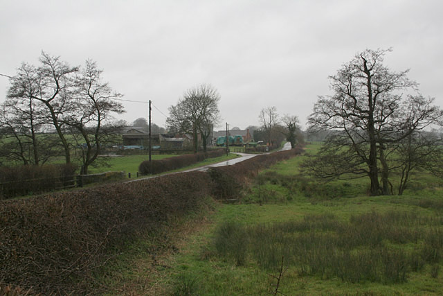
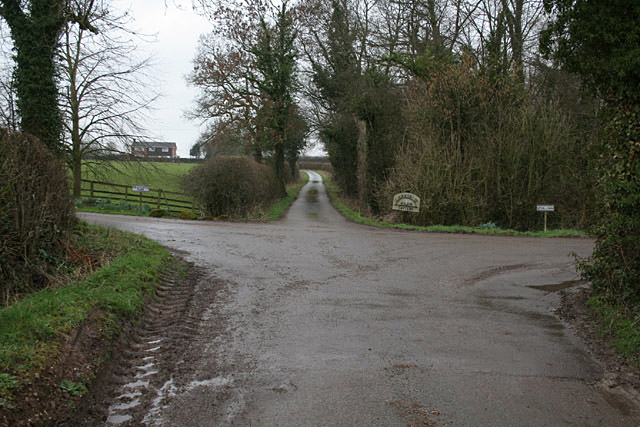
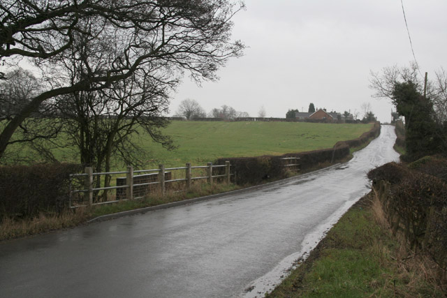
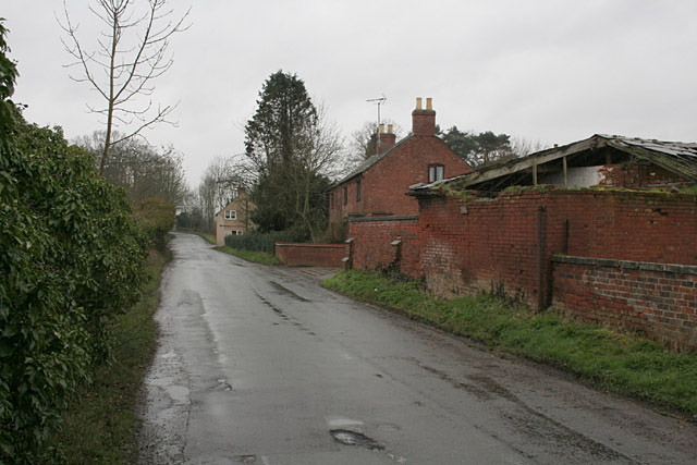
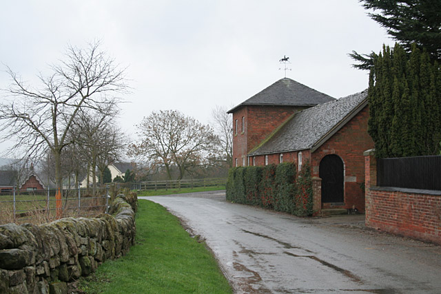
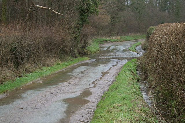
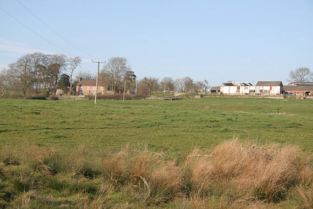
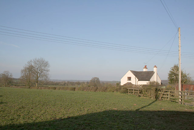
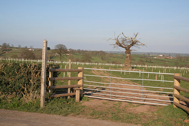
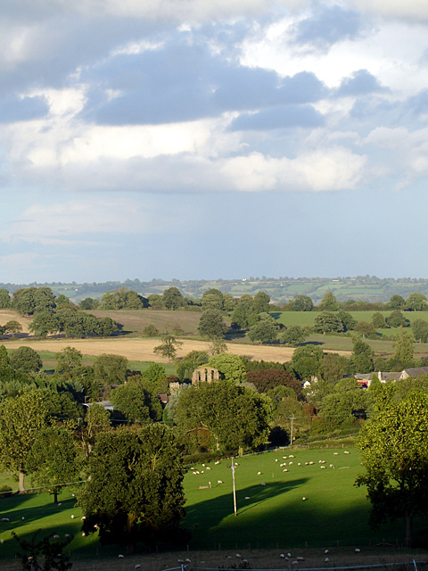
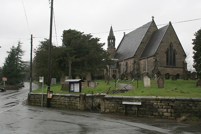
Nothill Wood Images

Images are sourced within 2km of 52.937327/-1.8867305 or Grid Reference SK0737. Thanks to Geograph Open Source API. All images are credited.

Watery Lane near Beamhurst
Hollywood Farm near Beamhurst
Driveway to old manor house near Hollington
St Michael's and All Angels at Stramshall
Hollington Lane at Stramshall
Pale Platts Farm
Pale Platts Farm
Woottons The road from Rocester westwards towards Cheadle is here following a Roman alignment
Woottons
The road from Rocester westwards towards Cheadle is here following a Roman alignment
The end of Hook Lane The public road splits into three separate farm accesses to Pale Platts Farm, Larksrise Farm and Nothill Farm. Larksrise farm is now a Cattery.
The end of Hook Lane
The public road splits into three separate farm accesses to Pale Platts Farm, Larksrise Farm and Nothill Farm. Larksrise farm is now a Cattery.
Roman Road near Woottons The road from Rocester westwards towards Cheadle is here following a Roman alignment
Roman Road near Woottons
The road from Rocester westwards towards Cheadle is here following a Roman alignment
Crakemarsh The former main road from Uttoxeter to Ashbourne has been superseded by a modern bypass
Crakemarsh
The former main road from Uttoxeter to Ashbourne has been superseded by a modern bypass
Combridge Attractive farm buildings at Combridge Farm indicate an affluent past. The modern farm also shows signs of investment.
Combridge
Attractive farm buildings at Combridge Farm indicate an affluent past. The modern farm also shows signs of investment.
Ford near Combridge
Ford near Combridge
Pointhorne Like many farms in this area, the name does not include the word "farm".
Pointhorne
Like many farms in this area, the name does not include the word "farm".
Creighton hamlet
Creighton hamlet
Creighton hamlet
Creighton hamlet
Footpath to Stubwood The old tree looks like an Arthur Rackham fairy tale illustration, and will shortly be enveloped in new growth.
Footpath to Stubwood
The old tree looks like an Arthur Rackham fairy tale illustration, and will shortly be enveloped in new growth.
St. Michael's Road An aptly named road as I am standing next to St. Michael and All Angels church near the edge of the village of Stramshall.
St. Michael's Road
An aptly named road as I am standing next to St. Michael and All Angels church near the edge of the village of Stramshall.
Hollington Lane Hollington Lane is a very minor road running away from the village of Stramshall.
Hollington Lane
Hollington Lane is a very minor road running away from the village of Stramshall.
Show me another place!

Nothill Wood is located at Grid Ref: SK0737 (Lat: 52.937327, Lng: -1.8867305)

Administrative County: Staffordshire

District: East Staffordshire

Police Authority: Staffordshire

What 3 Words

///excavate.alleyway.props. Near Uttoxeter, Staffordshire

Related Wikis

Croxden

Croxden is a village in the county of Staffordshire, England, south of Alton and north of Uttoxeter. The population of the civil parish as taken at the...

Combridge

Combridge is a small settlement in Staffordshire, England. It is near the town of Uttoxeter. For population details as taken at the 2011 census see Rocester...

Stramshall

Stramshall is a village within the civil parish of Uttoxeter Rural in the county of Staffordshire, England. The village is 2.1 miles north of the town...
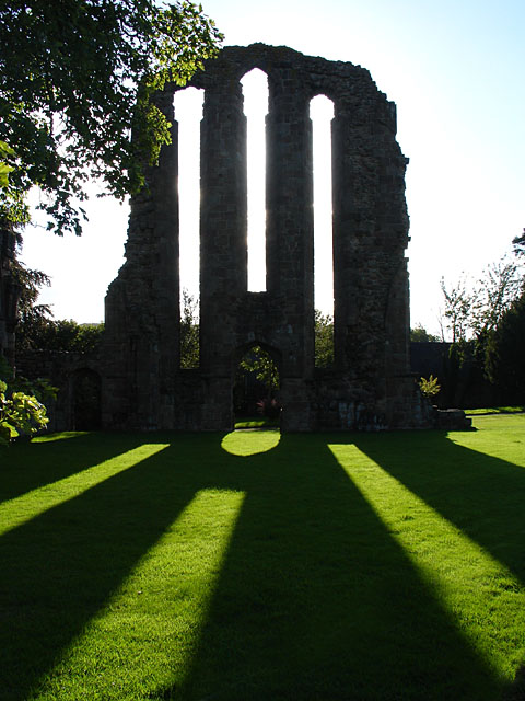
Croxden Abbey

Croxden Abbey, also known as "Abbey of the Vale of St. Mary at Croxden", was a Cistercian abbey at Croxden, Staffordshire, United Kingdom. A daughter house...

Nearby Amenities

Located within 500m of 52.937327,-1.8867305
Generator Method: wind_turbine
Generator Source: wind
Generator Type: horizontal_axis
Power: generator
Lat/Long: 52.9368146/-1.8897885
The data included in this document is from www.openstreetmap.org. The data is made available under ODbL.

Have you been to Nothill Wood?

Leave your review of Nothill Wood below (or comments, questions and feedback).