Condenser Wood
Wood, Forest in Yorkshire Richmondshire
England
Condenser Wood
The requested URL returned error: 429 Too Many Requests
If you have any feedback on the listing, please let us know in the comments section below.
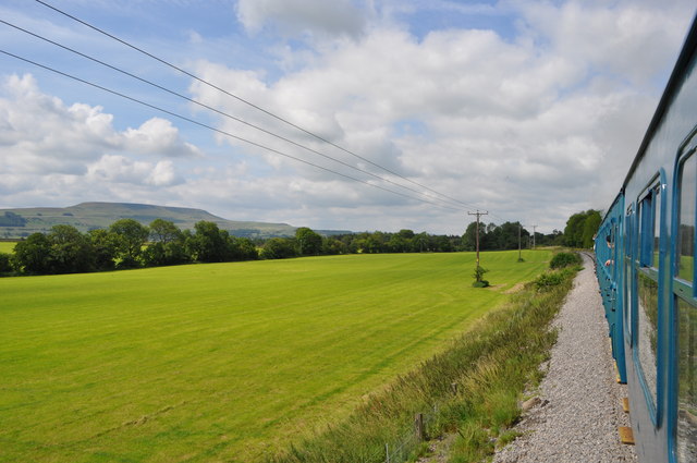
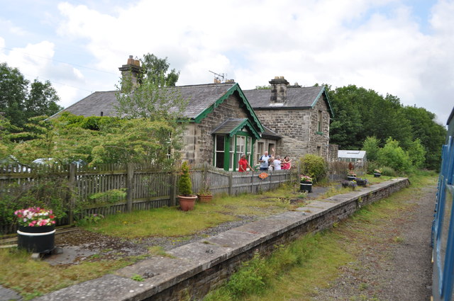
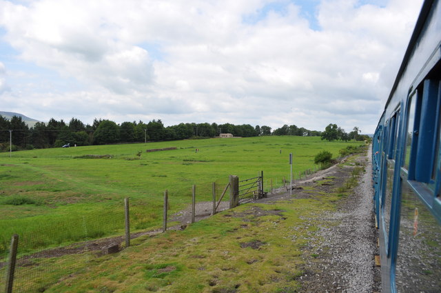
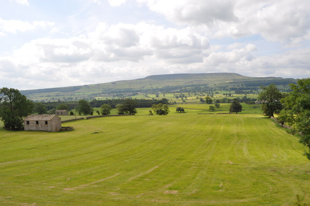
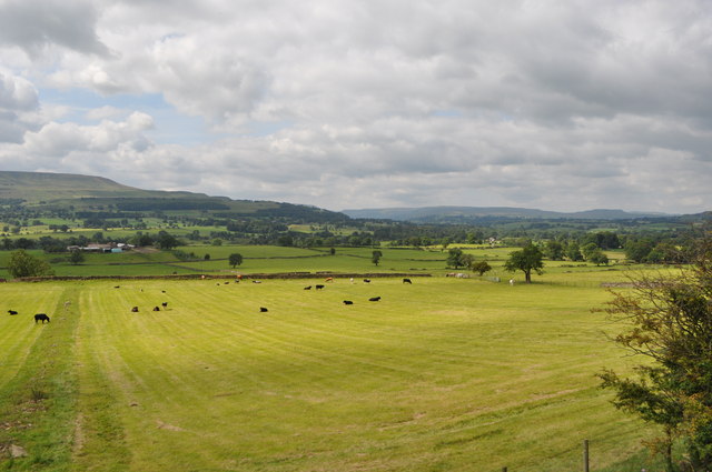
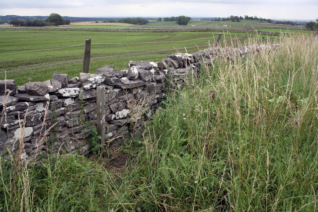
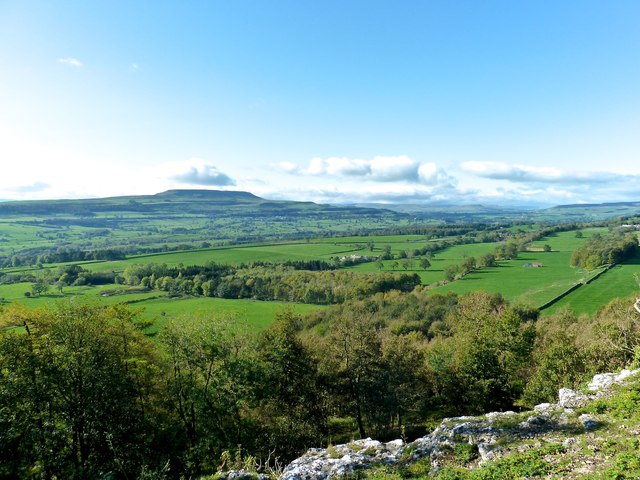
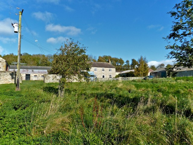
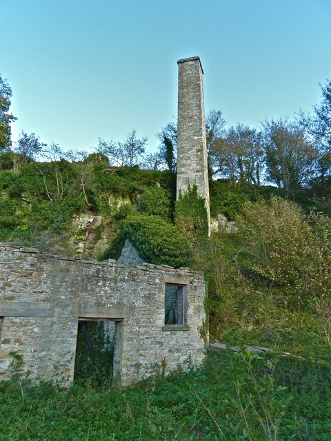
Condenser Wood Images
Images are sourced within 2km of 54.31662/-1.8830305 or Grid Reference SE0791. Thanks to Geograph Open Source API. All images are credited.


Condenser Wood is located at Grid Ref: SE0791 (Lat: 54.31662, Lng: -1.8830305)
Division: North Riding
Administrative County: North Yorkshire
District: Richmondshire
Police Authority: North Yorkshire
What 3 Words
///evaporate.diplomats.until. Near Leyburn, North Yorkshire
Nearby Locations
Related Wikis
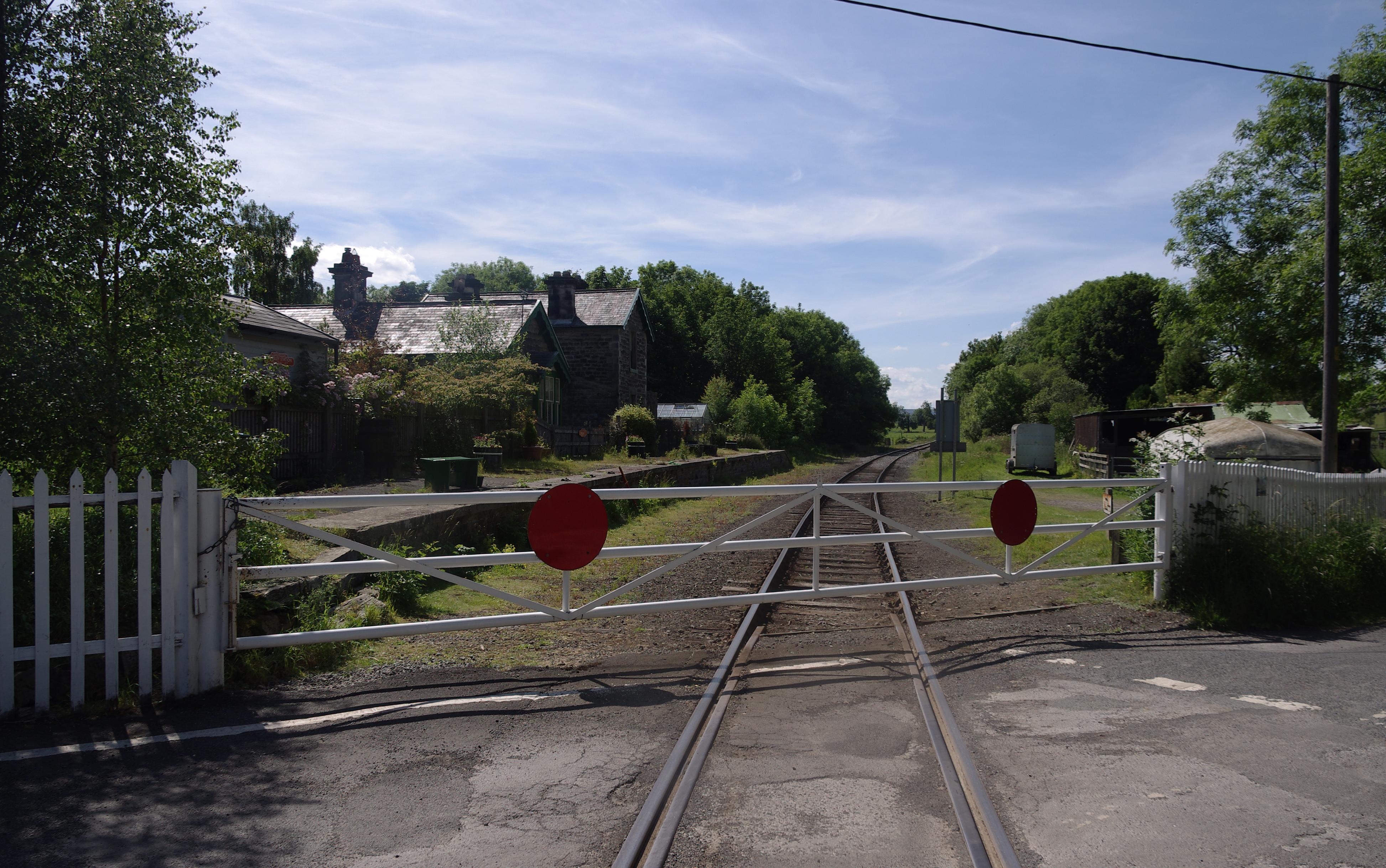
Wensley railway station
Wensley railway station is a disused railway station on the Wensleydale Railway, in North Yorkshire, England. It was opened by the North Eastern Railway...

Preston-under-Scar
Preston-under-Scar is a village and civil parish in North Yorkshire, England. It is situated approximately 2 miles (4 km) west of Leyburn. The village...
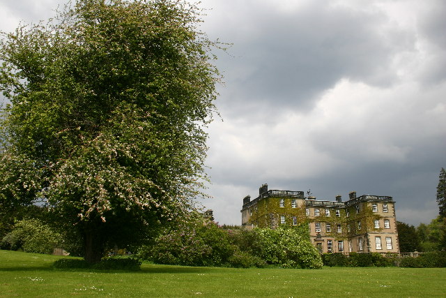
Bolton Hall, North Yorkshire
Bolton Hall is a country house near Preston-under-Scar, Richmondshire, North Yorkshire, England, in Wensleydale, some 3 miles (5 km) west of Leyburn. It...
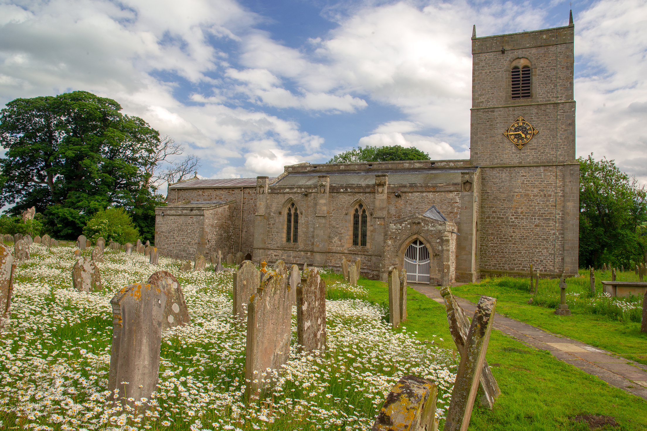
Holy Trinity Church, Wensley
Holy Trinity Church is a redundant Anglican church on Low Lane in the village of Wensley, North Yorkshire, England. The building is recorded in the National...
Nearby Amenities
Located within 500m of 54.31662,-1.8830305Have you been to Condenser Wood?
Leave your review of Condenser Wood below (or comments, questions and feedback).