Sandhole Plantation
Wood, Forest in Northumberland
England
Sandhole Plantation

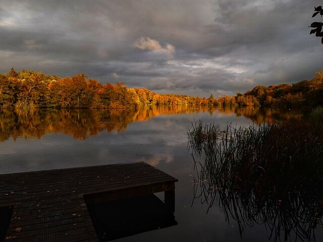
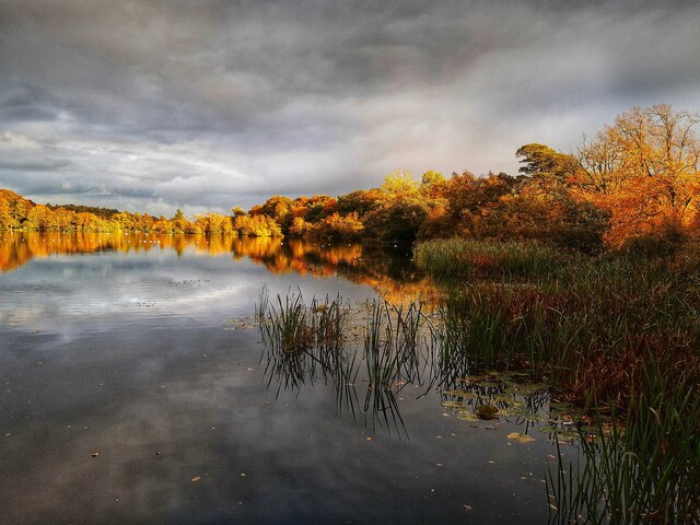
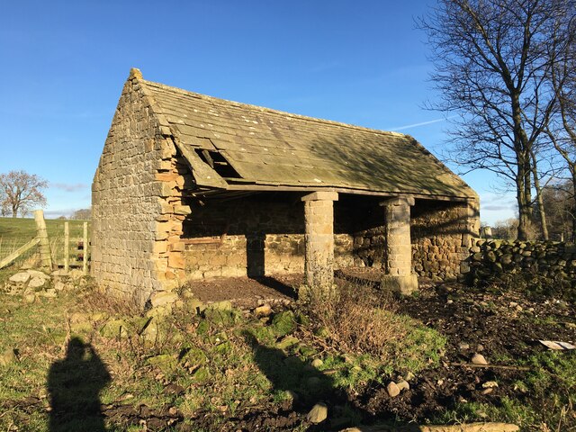
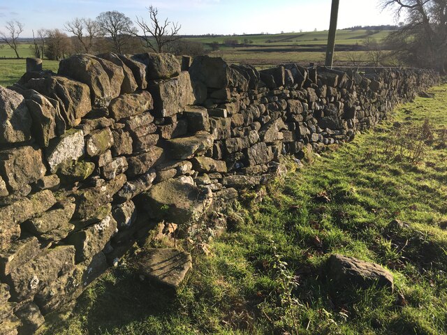
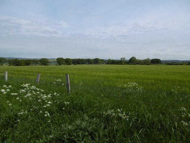
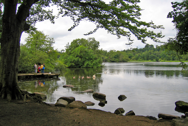
Sandhole Plantation is a serene woodland located in the county of Northumberland, England. Spread across an area of approximately 500 acres, it is a picturesque destination known for its natural beauty and diverse flora and fauna. The plantation is situated near the village of Sandhole, which is about 10 miles west of the town of Alnwick.
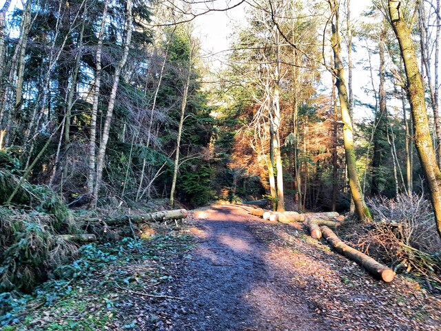
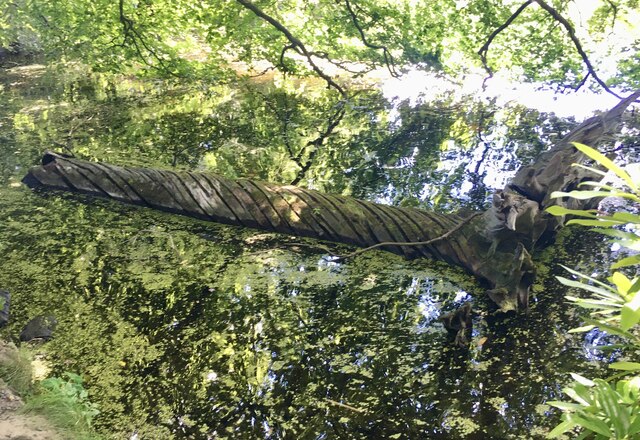
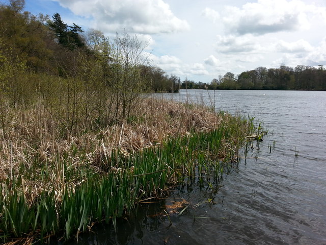
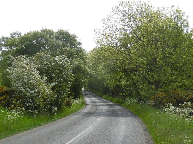
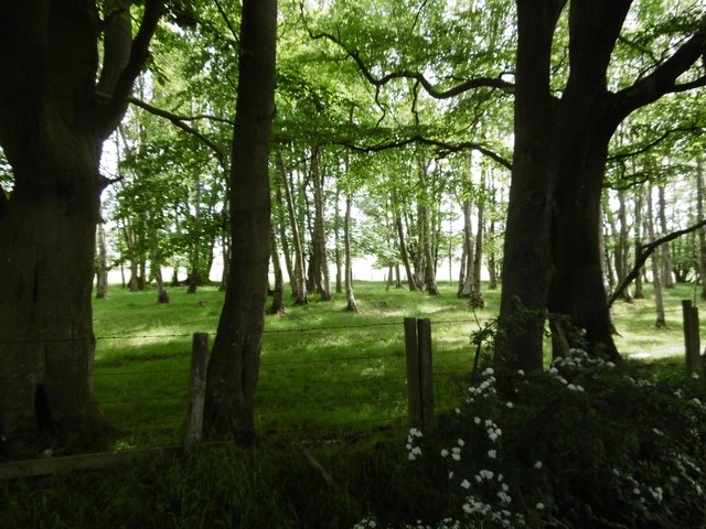
The woodland is predominantly composed of a mix of native deciduous and coniferous trees, creating a rich and vibrant ecosystem. Visitors can expect to find a variety of tree species, including oak, beech, birch, and pine, among others. These trees provide a canopy that offers shade and shelter to an array of woodland creatures.
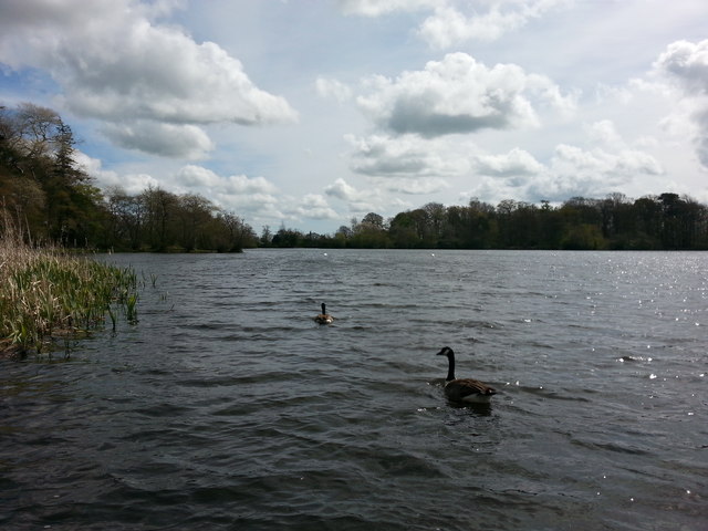
Sandhole Plantation is also home to a wide range of wildlife. Nature enthusiasts can spot various bird species, such as woodpeckers, owls, and songbirds, as well as small mammals like squirrels, rabbits, and foxes. The plantation is known for its tranquil atmosphere, making it an ideal habitat for these animals.
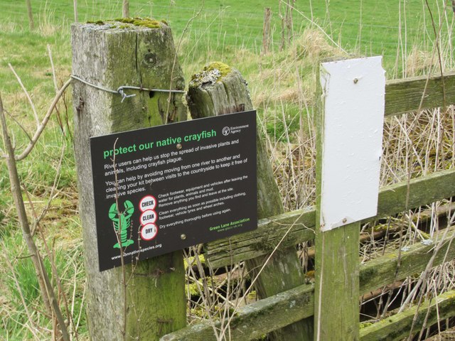
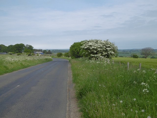
The woodland offers several walking trails, allowing visitors to explore its beauty and enjoy the peaceful surroundings. These paths wind through the trees, offering glimpses of the diverse plant life and wildlife that call this woodland home. The plantation is well-maintained, with clearly marked trails and informative signposts along the way.
Sandhole Plantation is a popular destination for nature lovers, hikers, and photographers seeking a peaceful retreat in the heart of Northumberland. Its natural charm and stunning scenery make it an ideal place to connect with nature and appreciate the beauty of the English countryside.
If you have any feedback on the listing, please let us know in the comments section below.
Sandhole Plantation Images
Images are sourced within 2km of 55.130605/-1.8826287 or Grid Reference NZ0781. Thanks to Geograph Open Source API. All images are credited.

Sandhole Plantation is located at Grid Ref: NZ0781 (Lat: 55.130605, Lng: -1.8826287)
Unitary Authority: Northumberland
Police Authority: Northumbria
What 3 Words
///inspects.create.friction. Near Hartburn, Northumberland
Nearby Locations
Related Wikis

Slate Hill Settlement
Slate Hill Settlement is an archaeological site in Northumberland, England, near the village of Bolam and about 7 miles (11 km) west of Morpeth. The site...
Bolam Lake Country Park
Bolam Lake Country Park is a country park in Northumberland, England, near the village of Bolam and about 9 miles (14 km) west of Morpeth. It is signposted...

Bolam West Houses
Bolam West Houses is a village in Northumberland, England. It is about 20 miles (32 km) to the north-west of Newcastle, close to Bolam. == References ==
Huckhoe Settlement
Huckhoe Settlement is an archaeological site in Northumberland, England, near the village of Bolam and about 7 miles (11 km) west of Morpeth. The site...

The Poind and his Man
The Poind and his Man is a prehistoric site in Northumberland, England, near the village of Bolam and about 7 miles (11 km) west of Morpeth. The site,...
Bolam, Northumberland
Bolam is a village and former civil parish, now in the parish of Belsay in the county of Northumberland, England. The village is about 20 miles (32 km...

Shaftoe Crags Settlement
Shaftoe Crags Settlement is an archaeological site in Northumberland, England, about 8 miles (13 km) west of Morpeth. The site at Shaftoe Crags, with remains...
Angerton railway station
Angerton was a railway station serving the village of Low Angerton in Northumberland, Northern England. It was located on the Wansbeck Railway, which diverged...
Nearby Amenities
Located within 500m of 55.130605,-1.8826287Have you been to Sandhole Plantation?
Leave your review of Sandhole Plantation below (or comments, questions and feedback).