Shortflatt Tower
Heritage Site in Northumberland
England
Shortflatt Tower
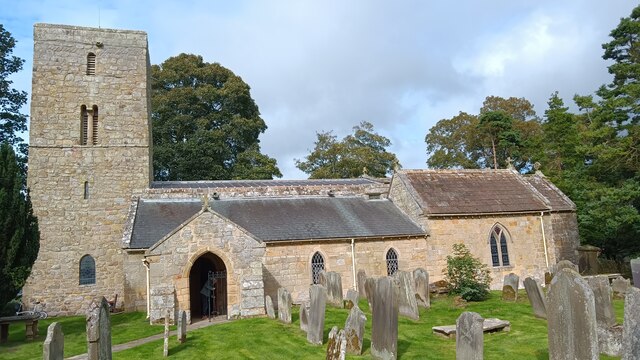
Shortflatt Tower is a historic and visually striking fortified tower located in Northumberland, England. Situated amidst the picturesque countryside, this heritage site stands as a testament to the region's rich history and architectural marvels. Originally built in the 13th century, the tower has undergone various additions and renovations over the centuries, resulting in its current grandeur.
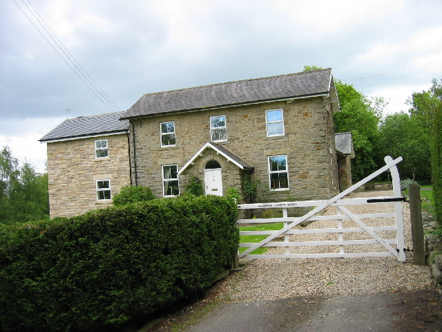
The tower is constructed with locally quarried stone, providing a sturdy and enduring structure. Its design reflects the traditional fortified tower style, with thick walls, narrow windows, and a crenellated parapet. The tower's imposing presence is further heightened by its four stories, each boasting unique architectural features and detailing. Notably, the tower's interior showcases a stunning Great Hall, complete with intricately carved wooden beams and a large fireplace.
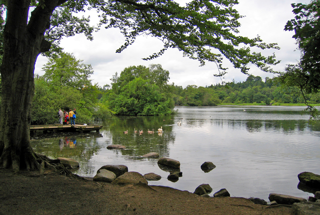
Surrounding the tower is a beautifully maintained garden, adorned with vibrant flowers, manicured lawns, and serene water features. The garden offers a tranquil escape, inviting visitors to take a leisurely stroll and admire the tower's majestic exterior from different angles.
In addition to its architectural significance, Shortflatt Tower also holds historical importance. It has been home to several notable families throughout its existence and has witnessed the ebb and flow of Northumberland's storied past.
Today, the tower serves as a popular venue for weddings, events, and accommodation. Its unique charm and picturesque setting make it an attractive destination for those seeking a blend of history, beauty, and tranquility in the heart of Northumberland.
If you have any feedback on the listing, please let us know in the comments section below.
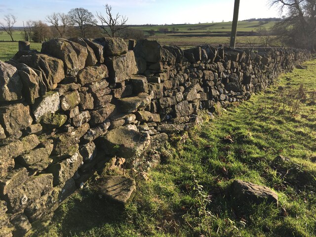
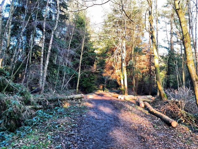
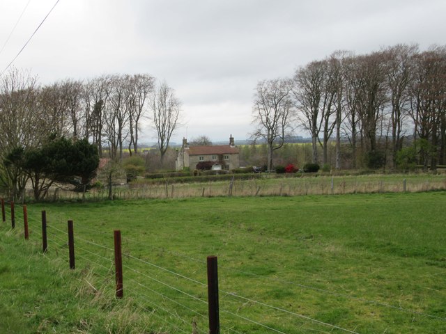
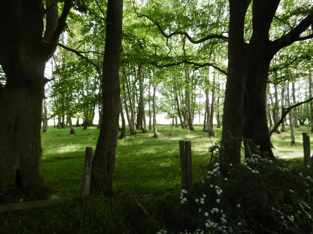
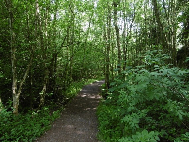
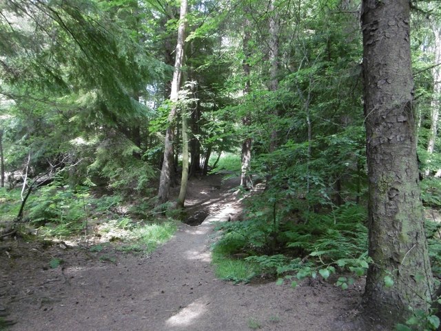
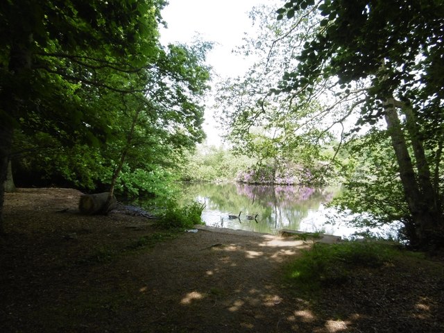
Shortflatt Tower Images
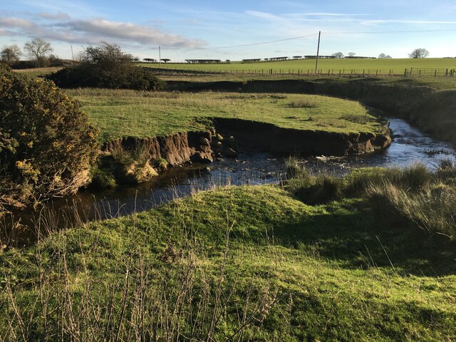
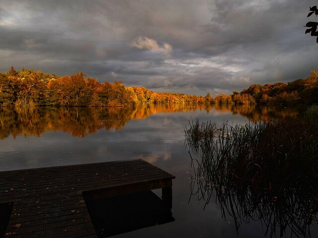
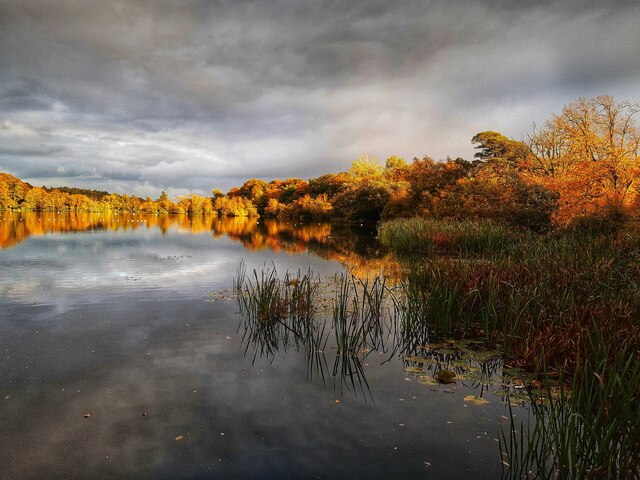
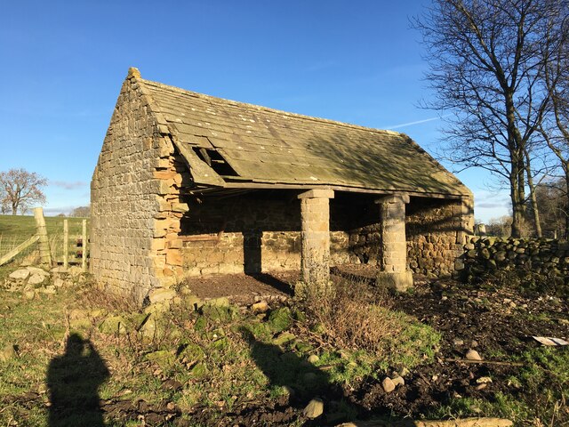
Images are sourced within 2km of 55.128/-1.882 or Grid Reference NZ0781. Thanks to Geograph Open Source API. All images are credited.


Shortflatt Tower is located at Grid Ref: NZ0781 (Lat: 55.128, Lng: -1.882)
Unitary Authority: Northumberland
Police Authority: Northumbria
What 3 Words
///awakening.union.capers. Near Hartburn, Northumberland
Nearby Locations
Related Wikis
Bolam Lake Country Park
Bolam Lake Country Park is a country park in Northumberland, England, near the village of Bolam and about 9 miles (14 km) west of Morpeth. It is signposted...

Slate Hill Settlement
Slate Hill Settlement is an archaeological site in Northumberland, England, near the village of Bolam and about 7 miles (11 km) west of Morpeth. The site...

Bolam West Houses
Bolam West Houses is a village in Northumberland, England. It is about 20 miles (32 km) to the north-west of Newcastle, close to Bolam. == References ==

The Poind and his Man
The Poind and his Man is a prehistoric site in Northumberland, England, near the village of Bolam and about 7 miles (11 km) west of Morpeth. The site,...
Huckhoe Settlement
Huckhoe Settlement is an archaeological site in Northumberland, England, near the village of Bolam and about 7 miles (11 km) west of Morpeth. The site...
Bolam, Northumberland
Bolam is a village and former civil parish, now in the parish of Belsay in the county of Northumberland, England. The village is about 20 miles (32 km...

Shaftoe Crags Settlement
Shaftoe Crags Settlement is an archaeological site in Northumberland, England, about 8 miles (13 km) west of Morpeth. The site at Shaftoe Crags, with remains...
Angerton railway station
Angerton was a railway station serving the village of Low Angerton in Northumberland, Northern England. It was located on the Wansbeck Railway, which diverged...
Nearby Amenities
Located within 500m of 55.128,-1.882Have you been to Shortflatt Tower?
Leave your review of Shortflatt Tower below (or comments, questions and feedback).