Waskerleyedge Plantation
Wood, Forest in Northumberland
England
Waskerleyedge Plantation
The requested URL returned error: 429 Too Many Requests
If you have any feedback on the listing, please let us know in the comments section below.
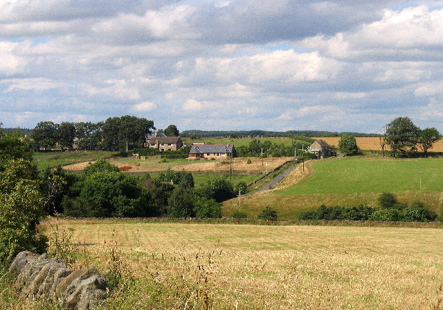
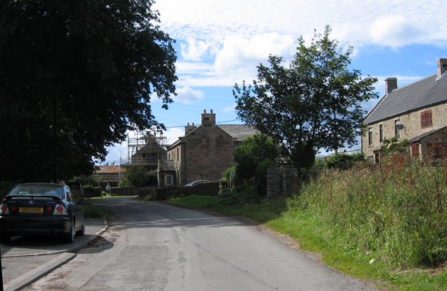
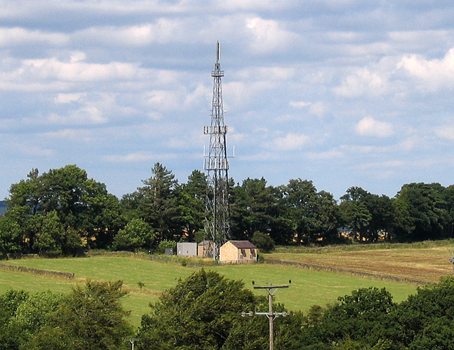
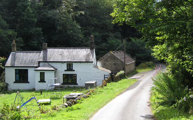
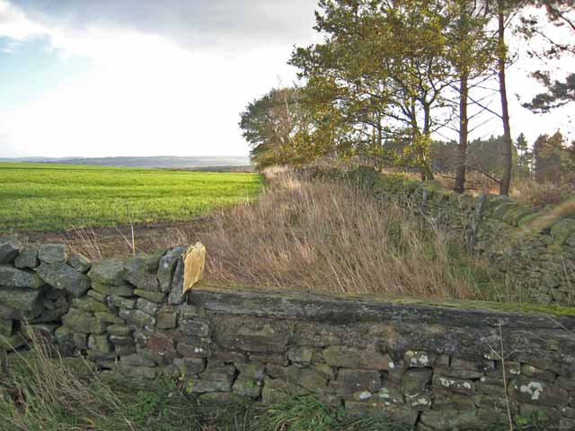
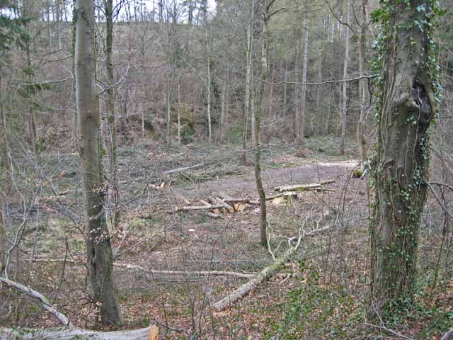
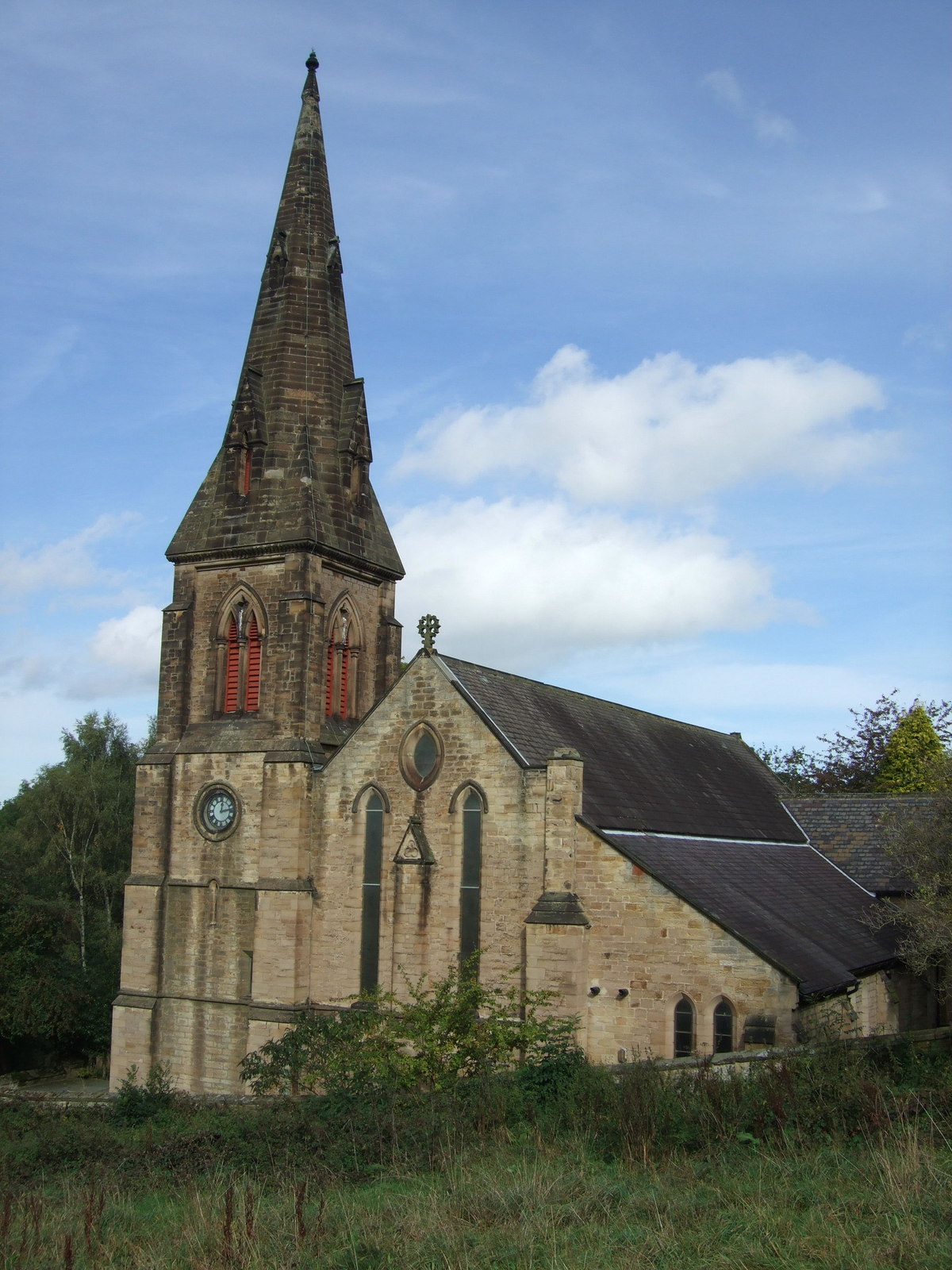
Waskerleyedge Plantation Images
Images are sourced within 2km of 54.883107/-1.8812121 or Grid Reference NZ0754. Thanks to Geograph Open Source API. All images are credited.


Waskerleyedge Plantation is located at Grid Ref: NZ0754 (Lat: 54.883107, Lng: -1.8812121)
Unitary Authority: Northumberland
Police Authority: Northumbria
What 3 Words
///sues.waking.blown. Near Consett, Co. Durham
Nearby Locations
Related Wikis

Newlands, Northumberland
Newlands is a hamlet and former civil parish, now in the parish of Shotley Low Quarter, in the county of Northumberland, England. It is north of Ebchester...

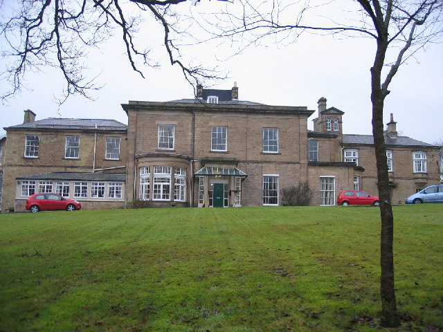
Shotley Park
Shotley Park is a former stately home and estate near the town of Shotley Bridge in County Durham, England. It is a listed building with grade II.The house...

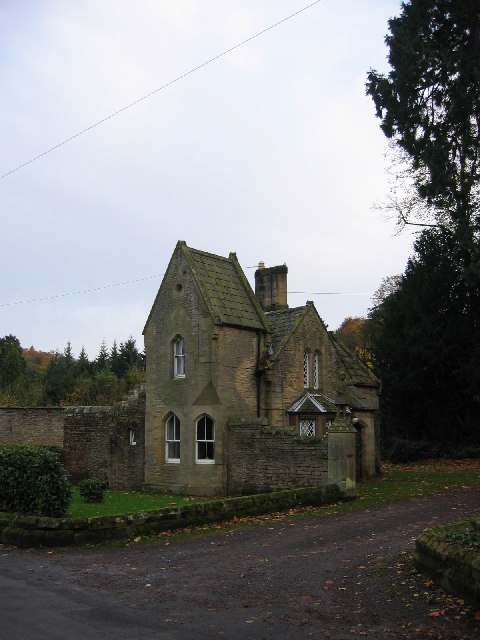
Shotley Hall
Shotley Hall is a Grade II* listed historic mansion in Shotley Low Quarter, Northumberland, England. It was designed in the Gothic Revival architectural...
Shotley Bridge
Shotley Bridge is a village, adjoining the town of Consett to the south in County Durham, England, 15 miles North West of Durham City. It is located on...
Have you been to Waskerleyedge Plantation?
Leave your review of Waskerleyedge Plantation below (or comments, questions and feedback).