Jordan Hill Plantation

Wood, Forest in Dorset

England

Jordan Hill Plantation

River Crane spilling into the road
River Crane spilling into the road Credit: Clive Perrin

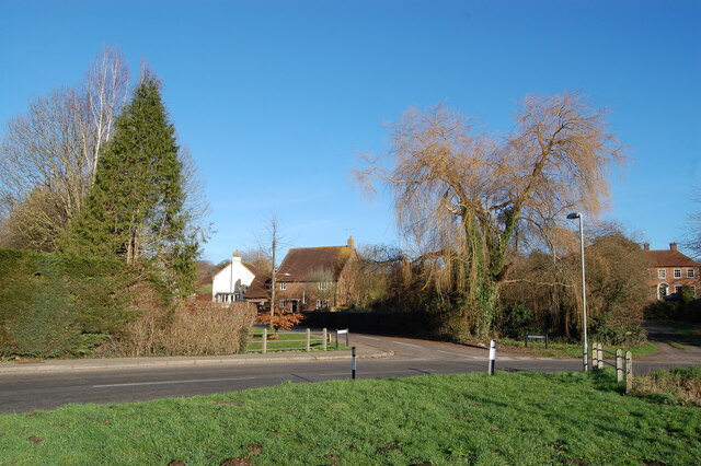
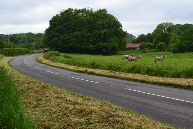
Jordan Hill Plantation is a sprawling woodland area located in the picturesque region of Dorset, England. Covering approximately 200 acres, it is a haven for nature enthusiasts and those seeking tranquility amidst the dense foliage and serene surroundings.

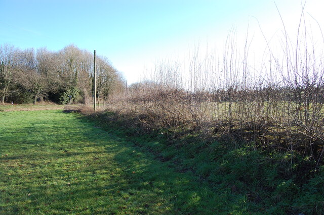
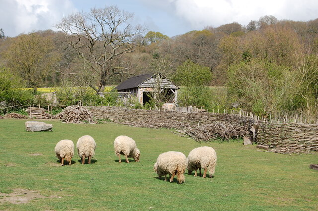
The plantation is primarily composed of a mix of deciduous and coniferous trees, including oak, beech, pine, and spruce, creating a diverse and vibrant ecosystem. The towering trees provide a dense canopy, offering shade and shelter to a variety of wildlife species that call this place home. Visitors can expect to encounter a plethora of bird species, such as woodpeckers, owls, and various songbirds, as well as small mammals like squirrels and rabbits.

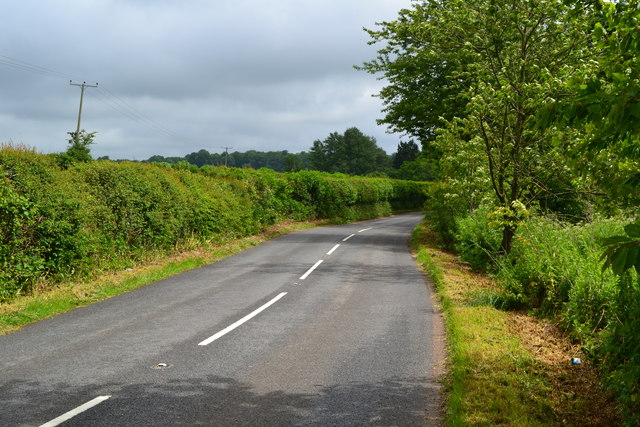
Traversing the plantation, visitors can explore a network of well-maintained footpaths and trails, winding their way through the enchanting woodland. These paths offer breathtaking views of the surrounding landscape, including rolling hills, meadows, and glimpses of the nearby coastline. The plantation also boasts a small lake, adding to its charm and providing a serene spot for picnics or quiet reflection.

Nature lovers are encouraged to explore the plantation's flora and fauna, taking in the sights and sounds of this thriving woodland. With its untouched beauty and abundant wildlife, Jordan Hill Plantation offers a peaceful retreat for all who venture within its bounds.

If you have any feedback on the listing, please let us know in the comments section below.

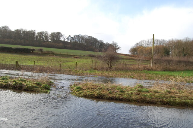
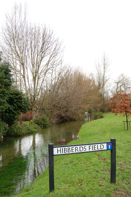
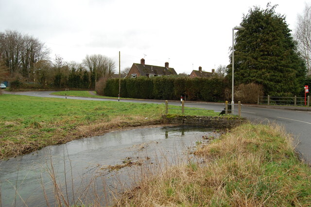
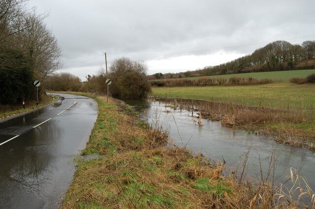
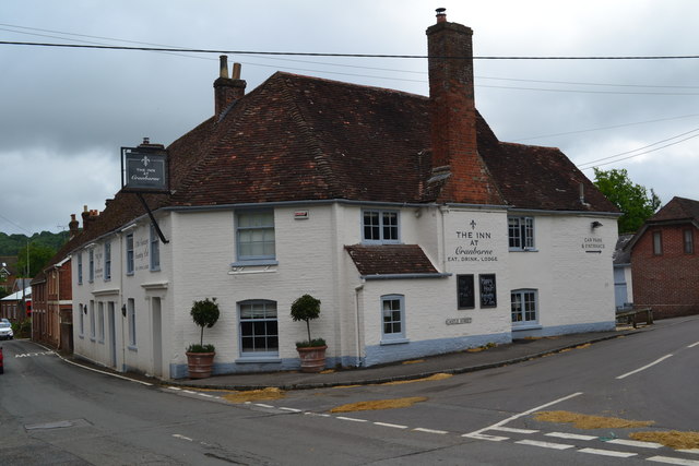
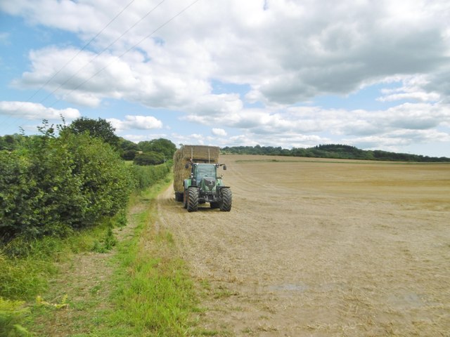
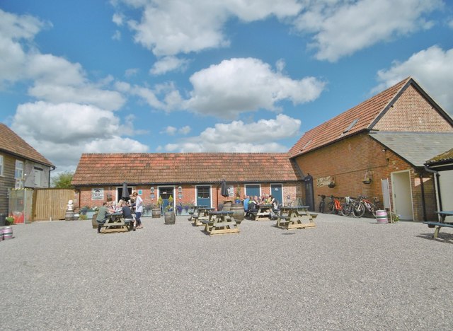
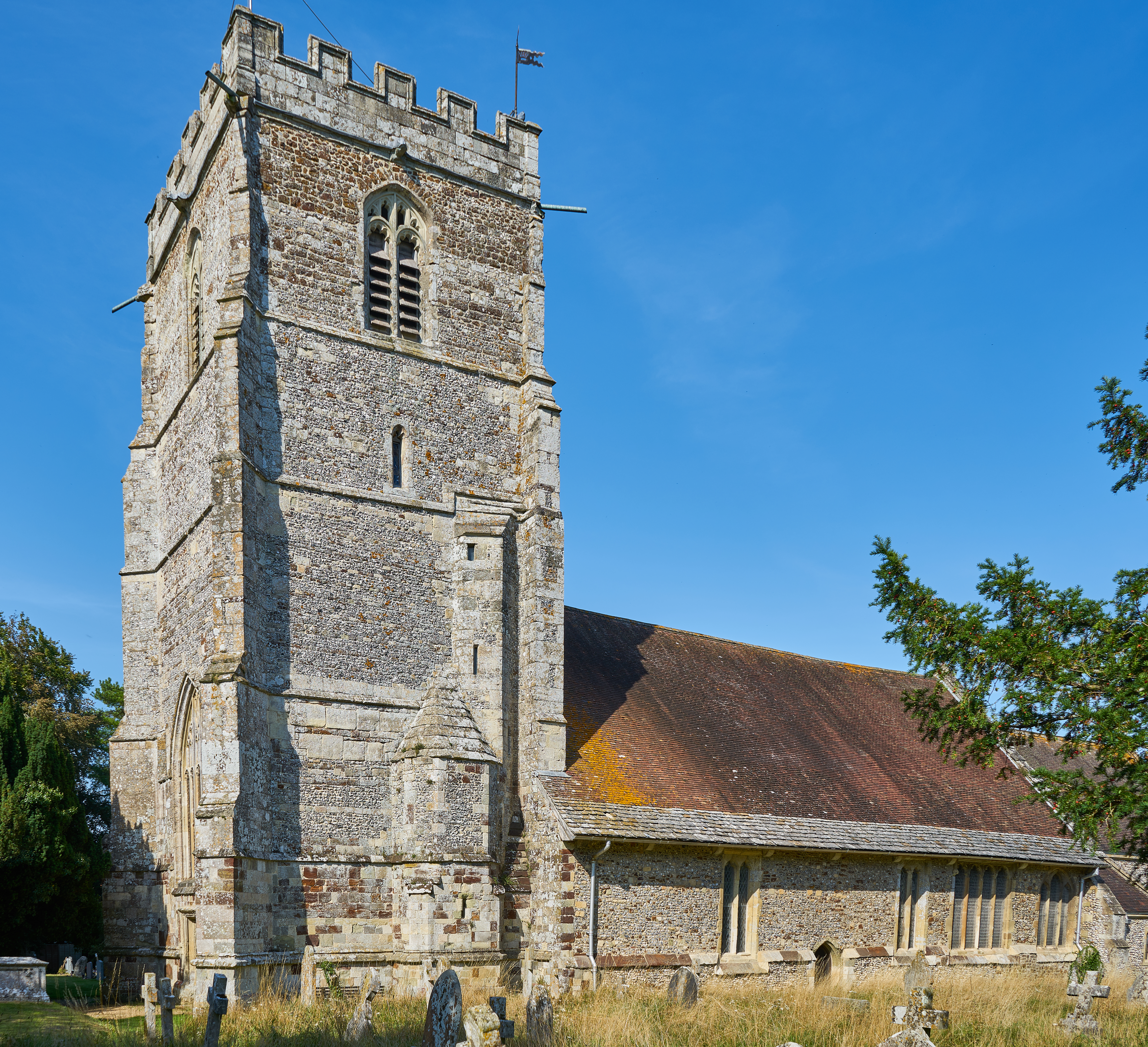
Jordan Hill Plantation Images

Images are sourced within 2km of 50.918765/-1.8979487 or Grid Reference SU0713. Thanks to Geograph Open Source API. All images are credited.

River Crane spilling into the road
River Crane Cranborne
River Crane in spate
Willow and mole hills The River Crane flows under the road here.
Willow and mole hills
The River Crane flows under the road here.
Laid hedge showing vigorous new growth
Welcome sign at the Ancient Technology Centre
Sheep grazing at the Ancient Technology Centre Cranborne
Ford at Lower Holwell This ford on the River Crane is found just below Mill Farm at Lower Holwell. A video of the ford can be seen at:
<span class="nowrap"><a title="https://youtu.be/FNo6zIFcZ1k" rel="nofollow ugc noopener" href="https://youtu.be/FNo6zIFcZ1k">Link</a><img style="margin-left:2px;" alt="External link" title="External link - shift click to open in new window" src="https://s1.geograph.org.uk/img/external.png" width="10" height="10"/></span>
Ford at Lower Holwell
This ford on the River Crane is found just below Mill Farm at Lower Holwell. A video of the ford can be seen at: LinkExternal link
Horses beside Hare Lane
Hare Lane
Hare Lane
B3078 near Cranborne
Cranbone sewage works
Bookshop and pub, Cranborne
Thatched cottages by the church at Cranborne
The Inn at Cranborne
Holwell, tractor Harvest home; a tractor and trailer laden with bales to take back to the farm.
Holwell, tractor
Harvest home; a tractor and trailer laden with bales to take back to the farm.
Holwell, Sixpenny Tap Bar and taproom of the Sixpenny Brewery, in a converted building at Holwell Farm. Back bar, drinking area to front; the room is festooned with hops, and there are a vintage jukebox, darts board and exposed brick walls. The brewery is to the right, formerly at Sixpenny Handley: <a href="https://www.geograph.org.uk/photo/1934011">ST9916 : Sixpenny Handley, brewery</a>. <span class="nowrap"><a title="http://www.sixpennybrewery.co.uk/about-us/our-history/" rel="nofollow ugc noopener" href="http://www.sixpennybrewery.co.uk/about-us/our-history/">Link</a><img style="margin-left:2px;" alt="External link" title="External link - shift click to open in new window" src="https://s1.geograph.org.uk/img/external.png" width="10" height="10"/></span>
Holwell, Sixpenny Tap
Bar and taproom of the Sixpenny Brewery, in a converted building at Holwell Farm. Back bar, drinking area to front; the room is festooned with hops, and there are a vintage jukebox, darts board and exposed brick walls. The brewery is to the right, formerly at Sixpenny Handley: ST9916 : Sixpenny Handley, brewery. LinkExternal link
Show me another place!

Jordan Hill Plantation is located at Grid Ref: SU0713 (Lat: 50.918765, Lng: -1.8979487)

Unitary Authority: Dorset

Police Authority: Dorset

What 3 Words

///syndicate.splint.enormous. Near Alderholt, Dorset

Related Wikis

Boveridge

Boveridge is a hamlet in Dorset, England about 1 mile (1.6 km) north of Cranborne, 12 miles (19 km) south-west of Salisbury, Wiltshire, and 10 miles (16...

Crendell

Crendell is a hamlet in the civil parish of Alderholt in the East Dorset district of Dorset, England. The hamlet is close to the Dorset-Hampshire border...

Lopshill

Lopshill is a hamlet in the New Forest district in Hampshire, England. It is in the civil parish of Damerham. It is about 4 miles (7 km) from the New...

Cranborne

Cranborne is a village in East Dorset, England. At the 2011 census, the parish had a population of 779, remaining unchanged from 2001. Until 2019 the appropriate...

Nearby Amenities

Located within 500m of 50.918765,-1.8979487
Barrier: stile
Lat/Long: 50.9175895/-1.900271
Barrier: stile
Lat/Long: 50.9165726/-1.8945487
The data included in this document is from www.openstreetmap.org. The data is made available under ODbL.

Have you been to Jordan Hill Plantation?

Leave your review of Jordan Hill Plantation below (or comments, questions and feedback).