Paul's Copse
Wood, Forest in Dorset
England
Paul's Copse
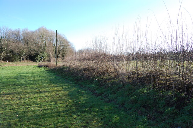
Paul's Copse is a picturesque woodland located in the county of Dorset, England. Covering an area of approximately 50 acres, it is a well-preserved example of a mixed deciduous forest. The copse is situated near the village of Paul's Green, hence its name, and is easily accessible from the nearby town of Blandford Forum.
The woodland is characterized by its diverse range of tree species, including oak, beech, ash, and birch. These majestic trees create a dense canopy that provides shade and shelter for a variety of wildlife. In spring, the forest floor is adorned with a vibrant carpet of bluebells, creating a stunning display of color.
Paul's Copse is a popular destination for nature enthusiasts and hikers. It offers a network of well-maintained footpaths that wind through the woods, allowing visitors to explore its natural beauty. Along the trails, one may encounter a wealth of wildlife, such as deer, squirrels, and a multitude of bird species. The copse is also home to several rare and protected species, including the lesser-spotted woodpecker and the silver-washed fritillary butterfly.
The woodland is managed by the local conservation authority, ensuring its preservation and protection. The management includes regular tree maintenance and the implementation of sustainable practices to maintain the delicate ecological balance of the copse.
Overall, Paul's Copse is a tranquil and enchanting woodland that offers visitors a chance to immerse themselves in the natural beauty of Dorset. Whether it be for a leisurely walk, wildlife spotting, or simply enjoying the peaceful atmosphere, this forest is a true gem of the region.
If you have any feedback on the listing, please let us know in the comments section below.
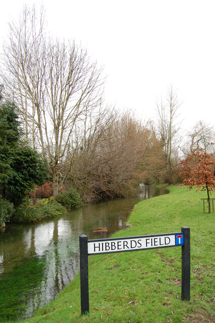
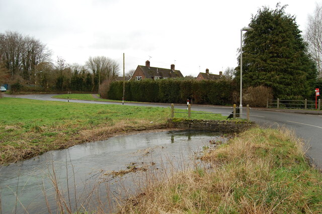
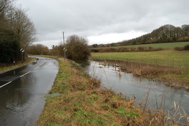
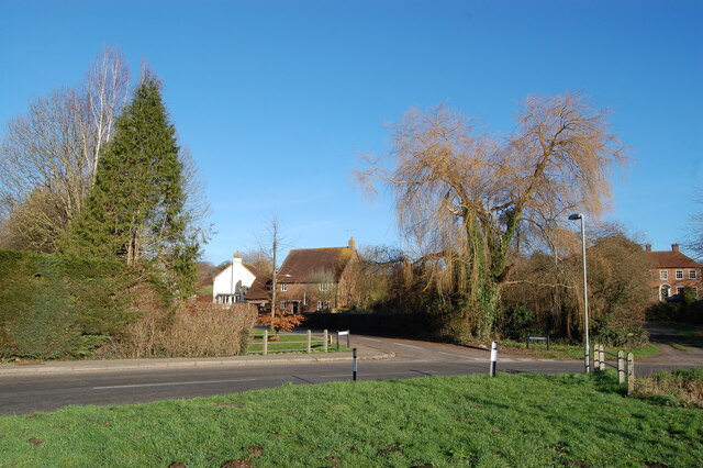
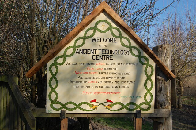
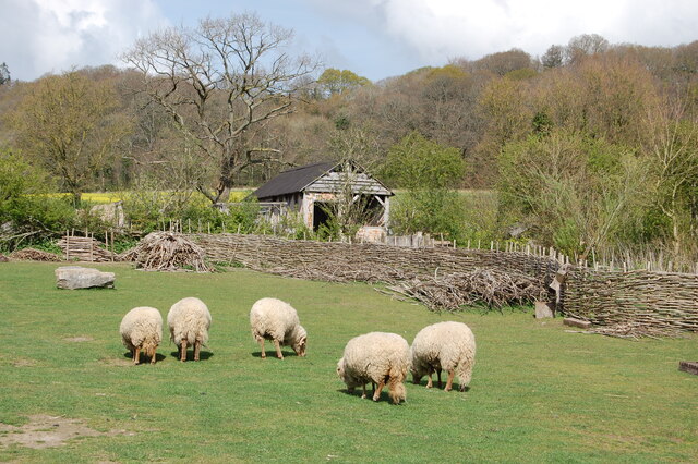
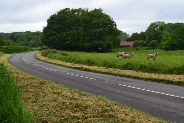
Paul's Copse Images
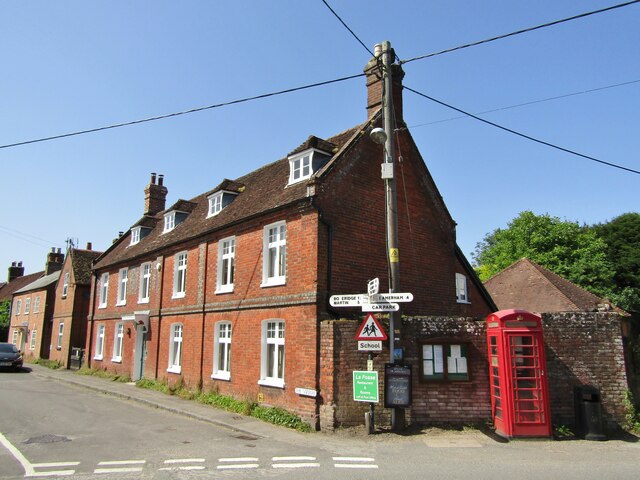
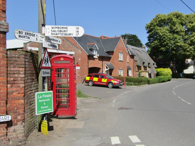
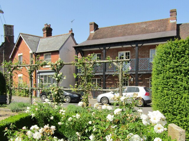
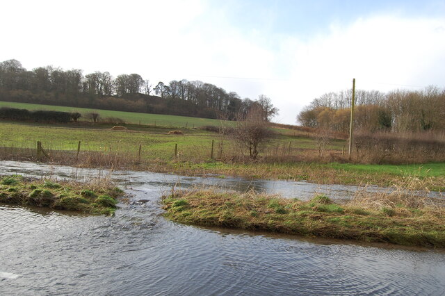
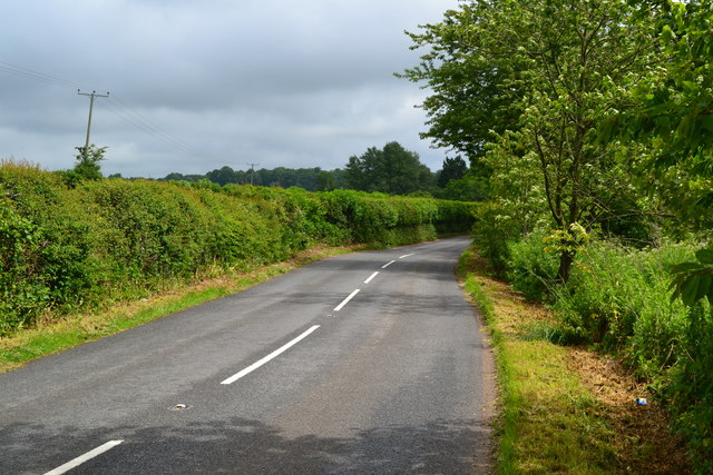
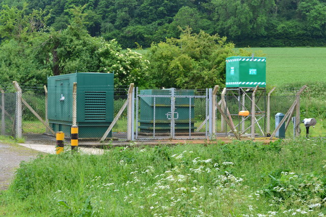
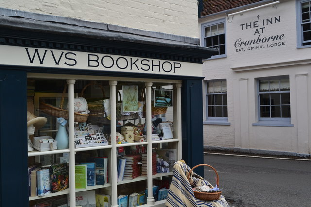
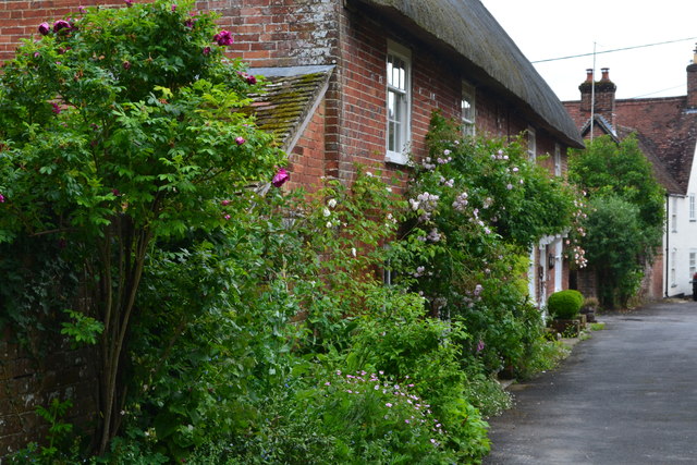
Images are sourced within 2km of 50.921473/-1.8987822 or Grid Reference SU0713. Thanks to Geograph Open Source API. All images are credited.


Paul's Copse is located at Grid Ref: SU0713 (Lat: 50.921473, Lng: -1.8987822)
Unitary Authority: Dorset
Police Authority: Dorset
What 3 Words
///fine.lorry.revamping. Near Alderholt, Dorset
Nearby Locations
Related Wikis

Boveridge
Boveridge is a hamlet in Dorset, England about 1 mile (1.6 km) north of Cranborne, 12 miles (19 km) south-west of Salisbury, Wiltshire, and 10 miles (16...

Crendell
Crendell is a hamlet in the civil parish of Alderholt in the East Dorset district of Dorset, England. The hamlet is close to the Dorset-Hampshire border...

St Aldhelm's Church, Boveridge
St Aldhelm's Church is a former Church of England church in Boveridge, Dorset, England. It was built at the expense of Richard Brouncker in 1838 and became...
Cranborne
Cranborne is a village in East Dorset, England. At the 2011 census, the parish had a population of 779, remaining unchanged from 2001. The appropriate...
Nearby Amenities
Located within 500m of 50.921473,-1.8987822Have you been to Paul's Copse?
Leave your review of Paul's Copse below (or comments, questions and feedback).