Jordan Hill

Hill, Mountain in Dorset

England

Jordan Hill

Cranborne Signposts, a red telephone call box and a thatched cottage at the heart of Cranborne village.
Cranborne Credit: Colin Smith

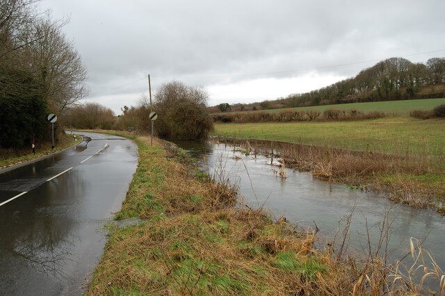
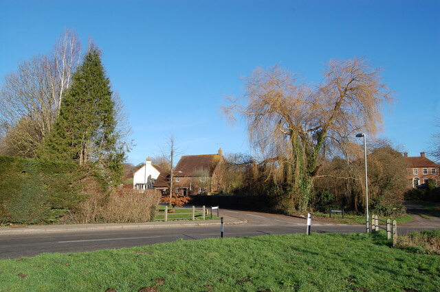
Jordan Hill is a prominent landmark located in the county of Dorset, England. Standing at an elevation of 259 meters (850 feet), it is often referred to as both a hill and a mountain due to its impressive height and panoramic views. Situated near the town of Swanage, Jordan Hill offers breathtaking vistas of the surrounding countryside, including the picturesque coastline of the Jurassic Coast, a UNESCO World Heritage Site.

The hill is a popular destination for hikers, nature enthusiasts, and photographers, thanks to its well-maintained footpaths and accessibility. Its commanding position provides visitors with sweeping views of the English Channel, the Isle of Wight, and the Purbeck Hills. On clear days, it is even possible to see as far as the white cliffs of the Isle of Purbeck and the distant coastline of France.

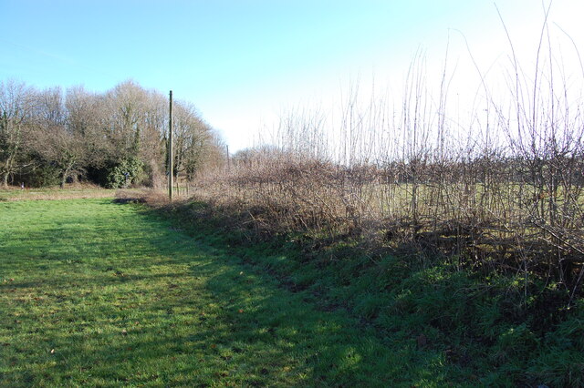
The area surrounding Jordan Hill is rich in wildlife and showcases a diverse range of flora and fauna. The hill is covered in lush green grass, dotted with wildflowers during the warmer months. It is also home to various species of birds, butterflies, and small mammals, making it an ideal spot for birdwatching and nature walks.

For history enthusiasts, Jordan Hill offers a glimpse into the past, with remnants of ancient settlements and burial mounds found in the vicinity. Archaeological excavations have uncovered artifacts from different time periods, including the Bronze Age and Roman era, providing valuable insights into the region's history and heritage.

Overall, Jordan Hill is a captivating natural landmark that combines stunning scenery, biodiversity, and historical significance, attracting visitors from near and far who seek to explore and appreciate the beauty of Dorset's countryside.

If you have any feedback on the listing, please let us know in the comments section below.
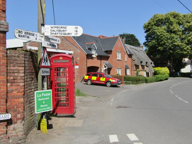
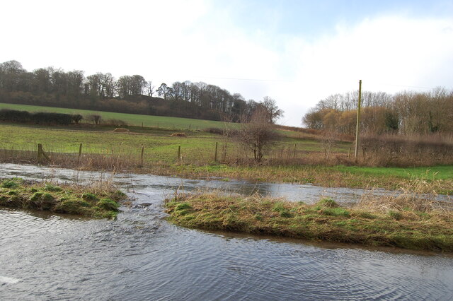
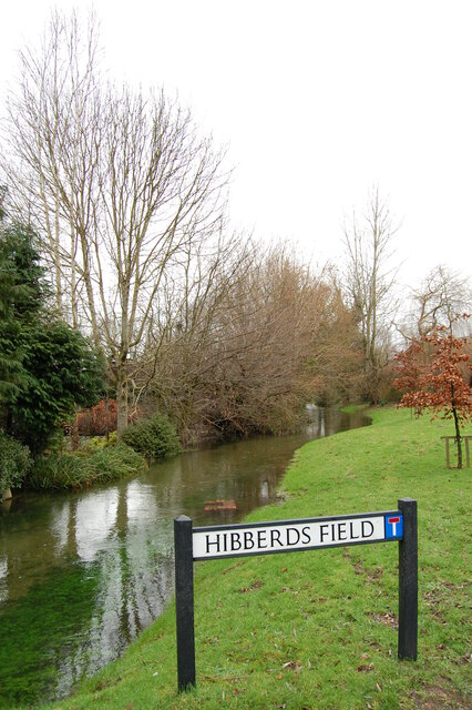
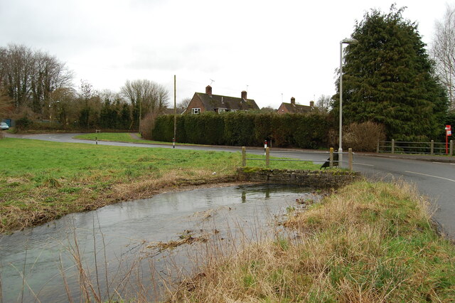
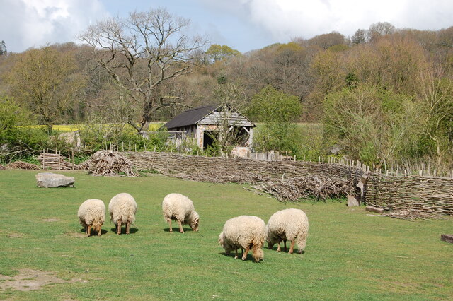
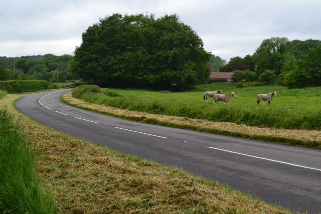
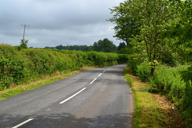
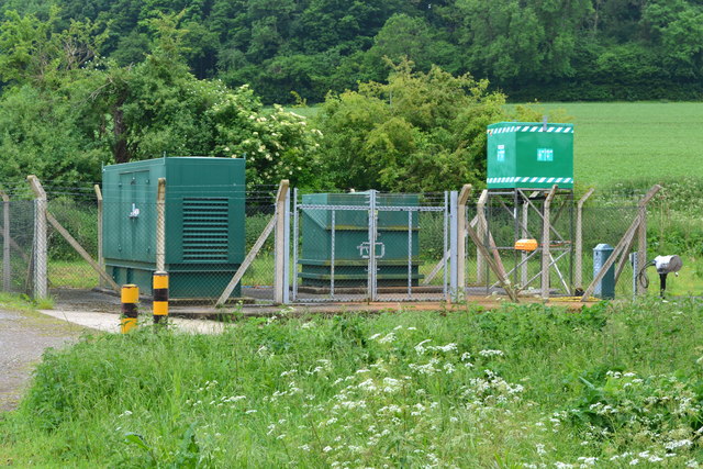
Jordan Hill Images

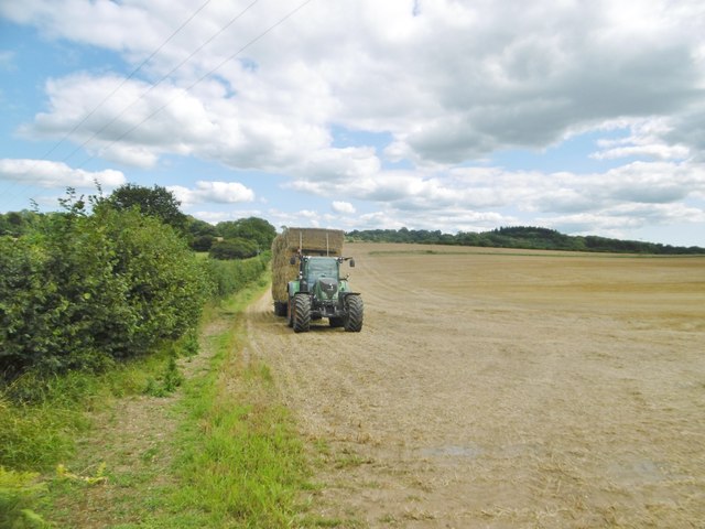
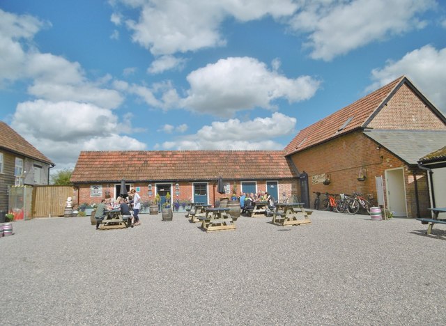
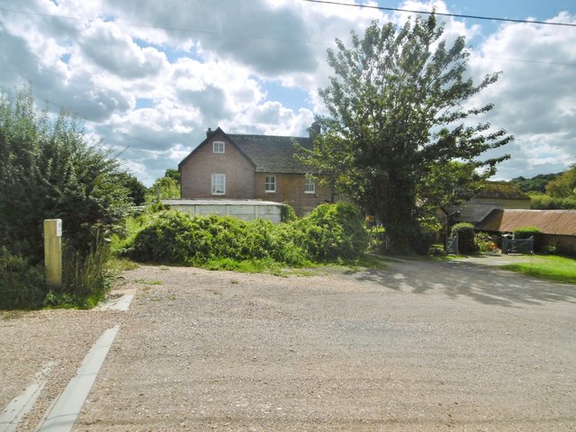
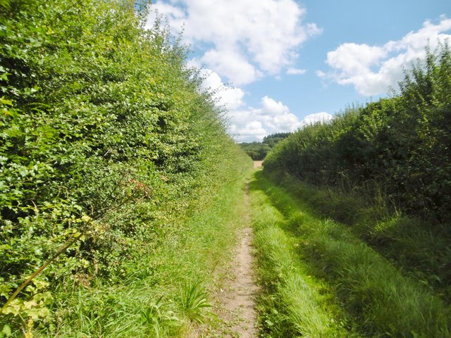
Images are sourced within 2km of 50.916684/-1.8939702 or Grid Reference SU0713. Thanks to Geograph Open Source API. All images are credited.

Cranborne Signposts, a red telephone call box and a thatched cottage at the heart of Cranborne village.
Cranborne
Signposts, a red telephone call box and a thatched cottage at the heart of Cranborne village.
River Crane spilling into the road
River Crane Cranborne
River Crane in spate
Willow and mole hills The River Crane flows under the road here.
Willow and mole hills
The River Crane flows under the road here.
Laid hedge showing vigorous new growth
Welcome sign at the Ancient Technology Centre
Sheep grazing at the Ancient Technology Centre Cranborne
Ford at Lower Holwell This ford on the River Crane is found just below Mill Farm at Lower Holwell. A video of the ford can be seen at:
<span class="nowrap"><a title="https://youtu.be/FNo6zIFcZ1k" rel="nofollow ugc noopener" href="https://youtu.be/FNo6zIFcZ1k">Link</a><img style="margin-left:2px;" alt="External link" title="External link - shift click to open in new window" src="https://s1.geograph.org.uk/img/external.png" width="10" height="10"/></span>
Ford at Lower Holwell
This ford on the River Crane is found just below Mill Farm at Lower Holwell. A video of the ford can be seen at: LinkExternal link
Horses beside Hare Lane
Hare Lane
Hare Lane
B3078 near Cranborne
Cranbone sewage works
Holwell, tractor Harvest home; a tractor and trailer laden with bales to take back to the farm.
Holwell, tractor
Harvest home; a tractor and trailer laden with bales to take back to the farm.
Holwell, Sixpenny Tap Bar and taproom of the Sixpenny Brewery, in a converted building at Holwell Farm. Back bar, drinking area to front; the room is festooned with hops, and there are a vintage jukebox, darts board and exposed brick walls. The brewery is to the right, formerly at Sixpenny Handley: <a href="https://www.geograph.org.uk/photo/1934011">ST9916 : Sixpenny Handley, brewery</a>. <span class="nowrap"><a title="http://www.sixpennybrewery.co.uk/about-us/our-history/" rel="nofollow ugc noopener" href="http://www.sixpennybrewery.co.uk/about-us/our-history/">Link</a><img style="margin-left:2px;" alt="External link" title="External link - shift click to open in new window" src="https://s1.geograph.org.uk/img/external.png" width="10" height="10"/></span>
Holwell, Sixpenny Tap
Bar and taproom of the Sixpenny Brewery, in a converted building at Holwell Farm. Back bar, drinking area to front; the room is festooned with hops, and there are a vintage jukebox, darts board and exposed brick walls. The brewery is to the right, formerly at Sixpenny Handley: ST9916 : Sixpenny Handley, brewery. LinkExternal link
Holwell Farmhouse Cereal farm, judging from the surrounding fields; the farm has diversified into letting out buildings to craft industries, including bakery, brewery and woodturner.
Holwell Farmhouse
Cereal farm, judging from the surrounding fields; the farm has diversified into letting out buildings to craft industries, including bakery, brewery and woodturner.
Holwell, footpath Footpath and farm track between fields, from Cranborne to Jordan Hill.
Holwell, footpath
Footpath and farm track between fields, from Cranborne to Jordan Hill.
Show me another place!

Jordan Hill is located at Grid Ref: SU0713 (Lat: 50.916684, Lng: -1.8939702)

Unitary Authority: Dorset

Police Authority: Dorset

What 3 Words

///reds.venturing.sofa. Near Alderholt, Dorset

Related Wikis

Crendell

Crendell is a hamlet in the civil parish of Alderholt in the East Dorset district of Dorset, England. The hamlet is close to the Dorset-Hampshire border...

Boveridge

Boveridge is a hamlet in Dorset, England about 1 mile (1.6 km) north of Cranborne, 12 miles (19 km) south-west of Salisbury, Wiltshire, and 10 miles (16...

Lopshill

Lopshill is a hamlet in the New Forest district in Hampshire, England. It is in the civil parish of Damerham. It is about 4 miles (7 km) from the New...

Cripplestyle

Cripplestyle is a hamlet in the civil parish of Alderholt in the county of Dorset, England. It lies close to the Dorset-Hampshire border. The nearest town...

Nearby Amenities

Located within 500m of 50.916684,-1.8939702
Barrier: stile
Lat/Long: 50.9175895/-1.900271
Barrier: stile
Lat/Long: 50.9165726/-1.8945487
The data included in this document is from www.openstreetmap.org. The data is made available under ODbL.

Have you been to Jordan Hill?

Leave your review of Jordan Hill below (or comments, questions and feedback).