Primrose Gill Plantation
Wood, Forest in Yorkshire
England
Primrose Gill Plantation

Primrose Gill Plantation, located in Yorkshire, is a picturesque woodland area renowned for its stunning beauty and natural wonders. The plantation is nestled in the heart of the Yorkshire Dales, an area known for its rolling hills, lush green landscapes, and serene atmosphere.
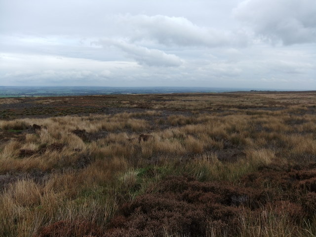
Covering an expansive area, Primrose Gill Plantation is home to a diverse range of flora and fauna. The woodland is predominantly comprised of ancient oak trees, which create a dense canopy and provide a haven for various bird species, including owls, woodpeckers, and songbirds. The plantation is also known for its vibrant display of wildflowers, particularly primroses, which blanket the forest floor during springtime, hence the name.
The plantation offers numerous walking trails and paths, allowing visitors to explore the woodland at their own pace. These trails wind through the ancient trees, offering breathtaking views of the surrounding countryside and opportunities to spot wildlife. The peaceful ambiance and tranquility of Primrose Gill Plantation make it an ideal destination for nature lovers, hikers, and photographers.
In addition to its natural beauty, Primrose Gill Plantation also has a rich historical background. It was once used as a hunting ground by the nobility during medieval times, and remnants of old hunting lodges can still be found within the woodland. This historical significance adds an extra layer of intrigue to the plantation, making it an attractive destination for history enthusiasts.
Overall, Primrose Gill Plantation in Yorkshire is a magical woodland retreat, offering a perfect blend of natural beauty, wildlife, and historical charm. It is a must-visit destination for anyone seeking solace in the arms of nature.
If you have any feedback on the listing, please let us know in the comments section below.
Primrose Gill Plantation Images
Images are sourced within 2km of 54.487335/-1.8901857 or Grid Reference NZ0710. Thanks to Geograph Open Source API. All images are credited.


Primrose Gill Plantation is located at Grid Ref: NZ0710 (Lat: 54.487335, Lng: -1.8901857)
Division: North Riding
Unitary Authority: County Durham
Police Authority: Durham
What 3 Words
///duck.scaffold.campsites. Near Barningham, Co. Durham
Nearby Locations
Related Wikis

Milbank Arms, Barningham
The Milbank Arms is a Grade II listed public house at Barningham, County Durham. Built in the early 19th century, it spent a period as a hotel before converting...
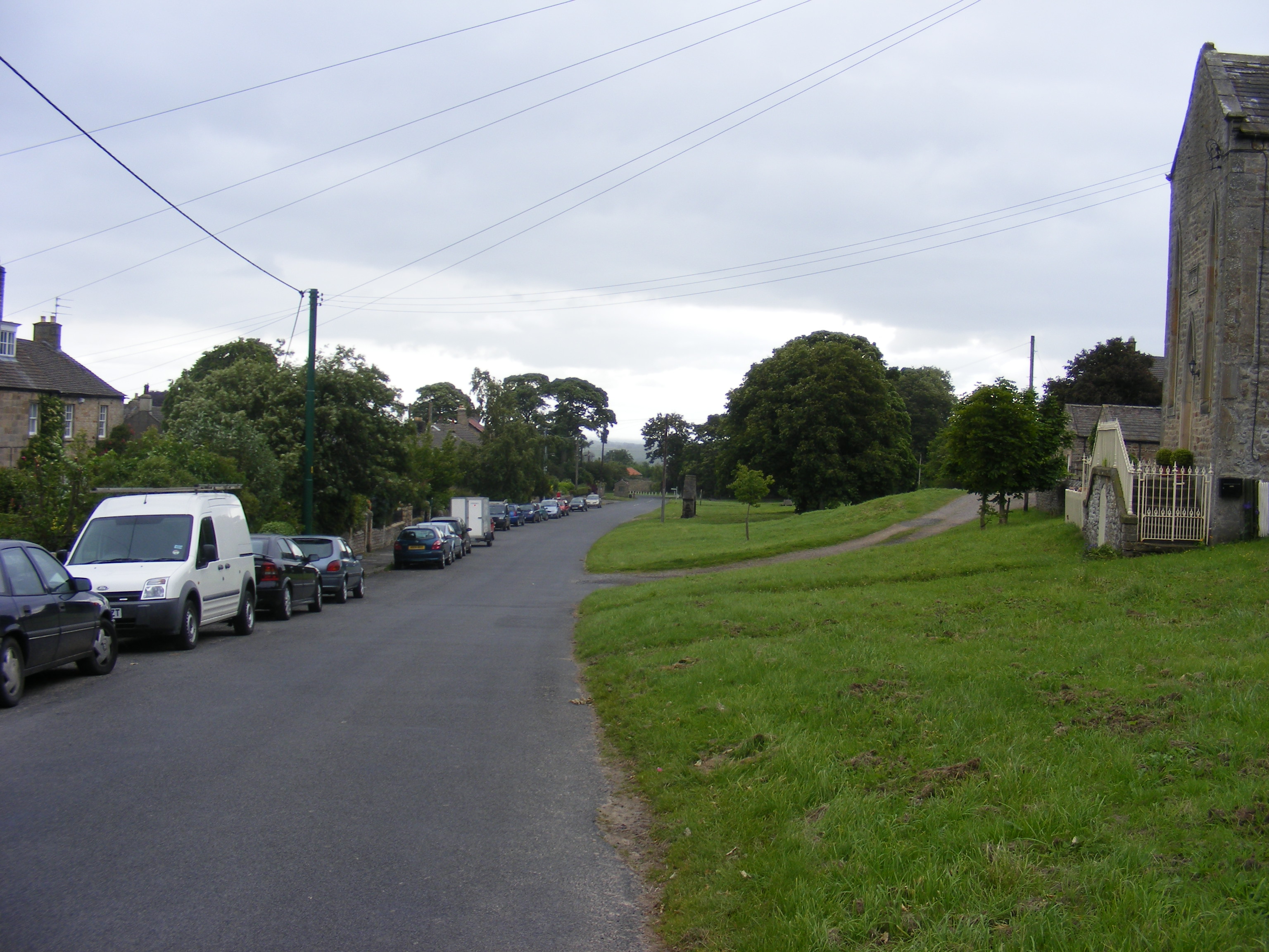
Barningham, County Durham
Barningham is a village in County Durham, in the Pennines of England. == History == Barningham is listed in the Domesday Book under the Gilling Wapentake...

Barningham Park
Barningham Park is a Grade II* listed country house and 7,000 acre estate located in the village of Barningham, County Durham (formerly the North Riding...

Brignall Banks
Brignall Banks is a Site of Special Scientific Interest in the Teesdale district of south-west County Durham, England. It consists of a narrow belt of...
Nearby Amenities
Located within 500m of 54.487335,-1.8901857Have you been to Primrose Gill Plantation?
Leave your review of Primrose Gill Plantation below (or comments, questions and feedback).