Kiln Wood
Wood, Forest in Northumberland
England
Kiln Wood

Kiln Wood is a picturesque forest located in the county of Northumberland, England. Spanning a vast area of lush greenery and towering trees, it offers a serene and tranquil environment for visitors to immerse themselves in nature's beauty. The wood is situated in close proximity to the village of Kiln, adding to its accessibility and charm.
The wood is primarily composed of a diverse range of tree species, including oak, beech, and birch, which creates a rich and vibrant ecosystem. The forest floor is adorned with a carpet of wildflowers, adding bursts of color to the landscape. The dense canopy provided by the tall trees offers shelter and habitats for numerous bird species, making it a haven for birdwatchers and nature enthusiasts.
Traversing through Kiln Wood, visitors will find a network of well-maintained walking trails, allowing them to explore the forest at their own pace. These paths lead to various points of interest, including a serene lake nestled within the heart of the wood, offering a peaceful spot for reflection and relaxation. Nature lovers can also spot an abundance of wildlife, such as deer, squirrels, and rabbits, as they meander through the forest.
Kiln Wood is a popular destination for outdoor activities, attracting hikers, cyclists, and nature photographers alike. The tranquil ambiance and stunning natural beauty make it an ideal location for a peaceful retreat or an enjoyable day trip. With its diverse flora and fauna, Kiln Wood offers a remarkable opportunity for visitors to connect with nature and experience the true essence of Northumberland's countryside.
If you have any feedback on the listing, please let us know in the comments section below.
Kiln Wood Images
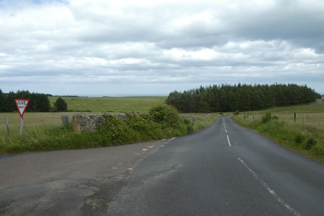
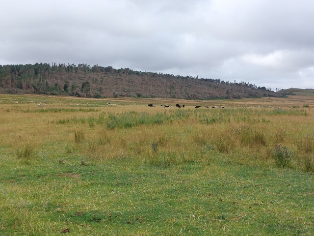
Images are sourced within 2km of 55.60089/-1.8872784 or Grid Reference NU0734. Thanks to Geograph Open Source API. All images are credited.


Kiln Wood is located at Grid Ref: NU0734 (Lat: 55.60089, Lng: -1.8872784)
Unitary Authority: Northumberland
Police Authority: Northumbria
What 3 Words
///couch.lotteries.feasting. Near Belford, Northumberland
Nearby Locations
Related Wikis
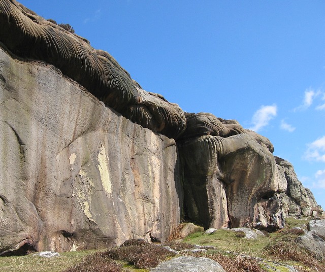
Colour Heugh and Bowden Doors
Colour Heugh and Bowden Doors are two crag rock formations in north Northumberland in North East England, designated as a Site of Special Scientific Interest...

Middleton Hall, Middleton, Northumberland
Middleton Hall is a country house near the settlement of Middleton, Northumberland, in that parish, that dates from 1871. It is listed Grade II on the...

Middleton, Northumberland
Middleton is a settlement and civil parish in Northumberland, England. The parish is situated on the North Sea coast, south of the island of Lindisfarne...

Holburn Lake and Moss
Holburn Lake and Moss is a nature reserve in Northumberland, England to the east of the village of Holburn. Nearby is St Cuthbert's Cave. == The lake... ==
Nearby Amenities
Located within 500m of 55.60089,-1.8872784Have you been to Kiln Wood?
Leave your review of Kiln Wood below (or comments, questions and feedback).