Perry Copse

Wood, Forest in Dorset

England

Perry Copse

Cranborne Red brick cottages, red telephone box and read signposts at the centre of Cranborne village.
Cranborne Credit: Colin Smith

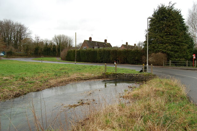
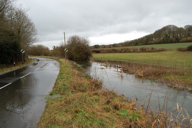
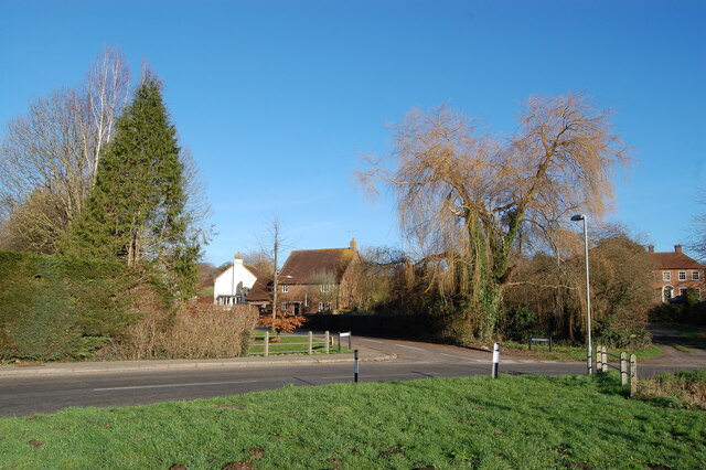
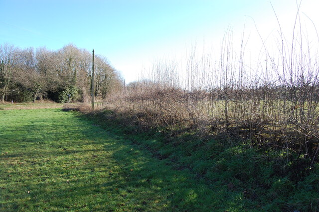
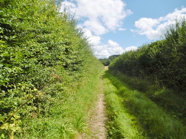
Perry Copse is a small wood located in the county of Dorset, England. It is situated near the village of Perry, approximately 5 miles northwest of Dorchester. Covering an area of around 20 acres, the copse is characterized by its dense and diverse woodland vegetation.

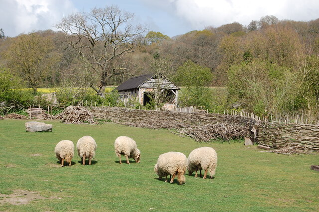
The wood is predominantly composed of a mixture of deciduous and evergreen trees, including oak, beech, ash, and pine. The dense canopy provides ample shade, creating a cool and tranquil atmosphere within the copse. The forest floor is covered with a thick layer of leaf litter, providing a suitable habitat for various small mammals, insects, and fungi.

Perry Copse is known for its rich biodiversity. It supports a variety of bird species, including woodpeckers, tits, and finches, which can be heard singing throughout the year. The copse is also home to numerous woodland plants and flowers, such as bluebells, primroses, and wild garlic, which create a vibrant display during the spring months.

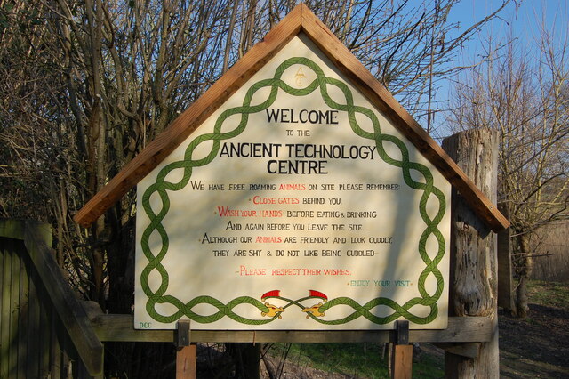
The wood is a popular destination for nature enthusiasts, walkers, and photographers. A network of well-maintained footpaths allows visitors to explore the copse and enjoy its natural beauty. The tranquility and seclusion of Perry Copse make it an ideal place for those seeking a peaceful retreat away from the hustle and bustle of everyday life.

Overall, Perry Copse in Dorset offers a small but enchanting woodland experience, where visitors can immerse themselves in nature and appreciate the beauty of this natural habitat.

If you have any feedback on the listing, please let us know in the comments section below.
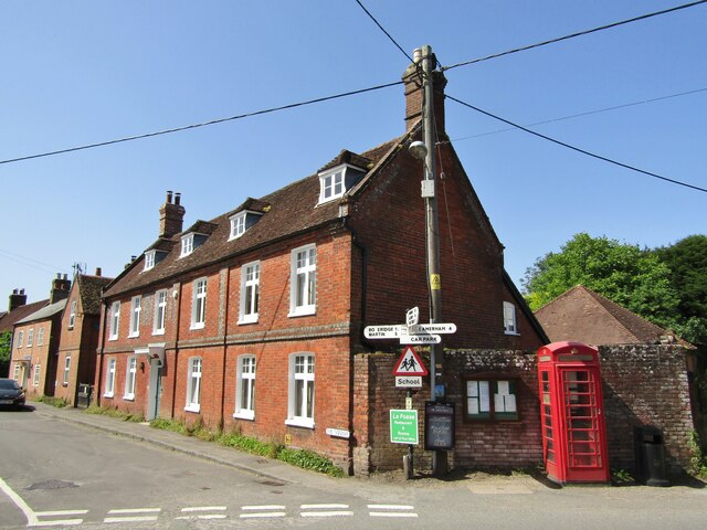
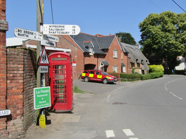
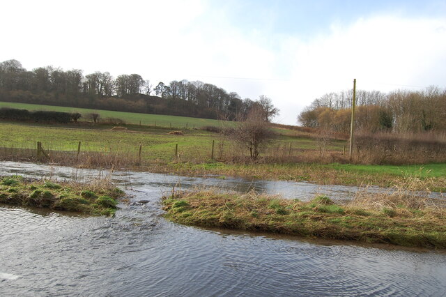
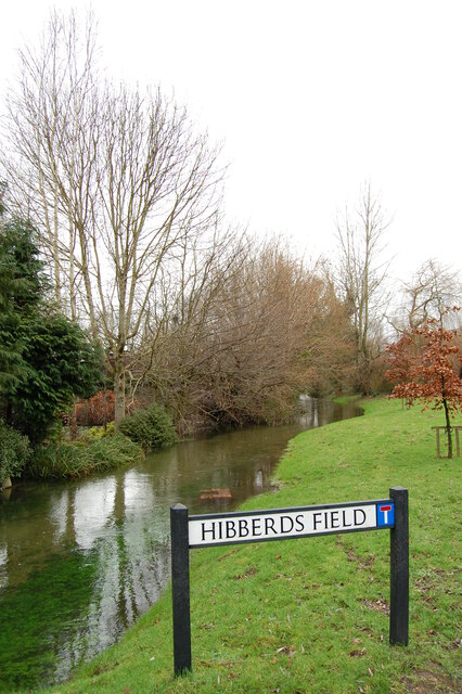
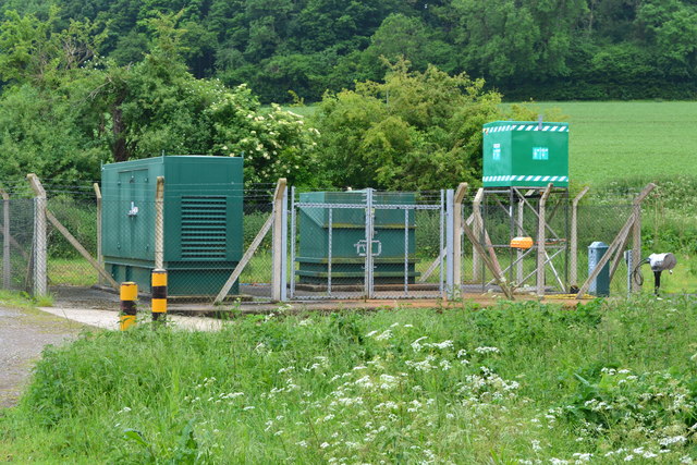
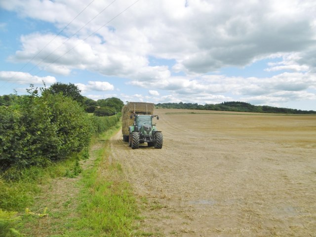
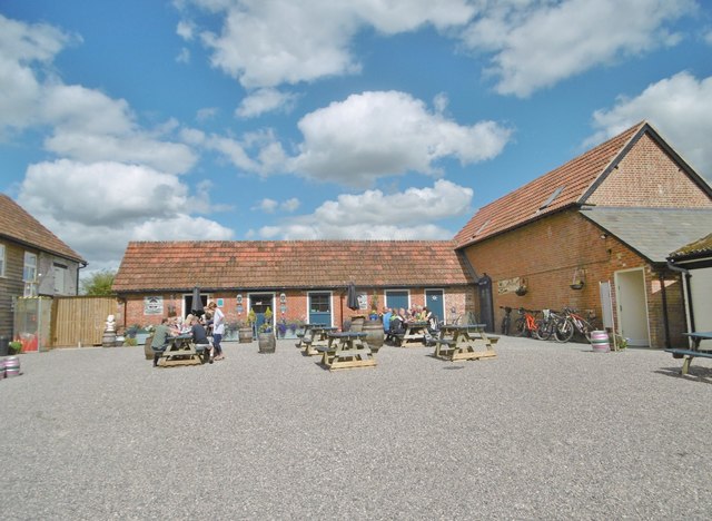
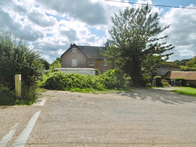
Perry Copse Images

Images are sourced within 2km of 50.928171/-1.8978997 or Grid Reference SU0714. Thanks to Geograph Open Source API. All images are credited.

Cranborne Red brick cottages, red telephone box and read signposts at the centre of Cranborne village.
Cranborne
Red brick cottages, red telephone box and read signposts at the centre of Cranborne village.
Cranborne Signposts, a red telephone call box and a thatched cottage at the heart of Cranborne village.
Cranborne
Signposts, a red telephone call box and a thatched cottage at the heart of Cranborne village.
River Crane spilling into the road
River Crane Cranborne
River Crane in spate
Willow and mole hills The River Crane flows under the road here.
Willow and mole hills
The River Crane flows under the road here.
Laid hedge showing vigorous new growth
Welcome sign at the Ancient Technology Centre
Sheep grazing at the Ancient Technology Centre Cranborne
Horses beside Hare Lane
B3078 near Cranborne
Cranbone sewage works
Holwell, tractor Harvest home; a tractor and trailer laden with bales to take back to the farm.
Holwell, tractor
Harvest home; a tractor and trailer laden with bales to take back to the farm.
Holwell, Sixpenny Tap Bar and taproom of the Sixpenny Brewery, in a converted building at Holwell Farm. Back bar, drinking area to front; the room is festooned with hops, and there are a vintage jukebox, darts board and exposed brick walls. The brewery is to the right, formerly at Sixpenny Handley: <a href="https://www.geograph.org.uk/photo/1934011">ST9916 : Sixpenny Handley, brewery</a>. <span class="nowrap"><a title="http://www.sixpennybrewery.co.uk/about-us/our-history/" rel="nofollow ugc noopener" href="http://www.sixpennybrewery.co.uk/about-us/our-history/">Link</a><img style="margin-left:2px;" alt="External link" title="External link - shift click to open in new window" src="https://s1.geograph.org.uk/img/external.png" width="10" height="10"/></span>
Holwell, Sixpenny Tap
Bar and taproom of the Sixpenny Brewery, in a converted building at Holwell Farm. Back bar, drinking area to front; the room is festooned with hops, and there are a vintage jukebox, darts board and exposed brick walls. The brewery is to the right, formerly at Sixpenny Handley: ST9916 : Sixpenny Handley, brewery. LinkExternal link
Holwell Farmhouse Cereal farm, judging from the surrounding fields; the farm has diversified into letting out buildings to craft industries, including bakery, brewery and woodturner.
Holwell Farmhouse
Cereal farm, judging from the surrounding fields; the farm has diversified into letting out buildings to craft industries, including bakery, brewery and woodturner.
Holwell, footpath Footpath and farm track between fields, from Cranborne to Jordan Hill.
Holwell, footpath
Footpath and farm track between fields, from Cranborne to Jordan Hill.
Holwell, stubble field Harvest home!
Holwell, stubble field
Harvest home!
Show me another place!

Perry Copse is located at Grid Ref: SU0714 (Lat: 50.928171, Lng: -1.8978997)

Unitary Authority: Dorset

Police Authority: Dorset

What 3 Words

///vivid.notebook.nags. Near Alderholt, Dorset

Related Wikis

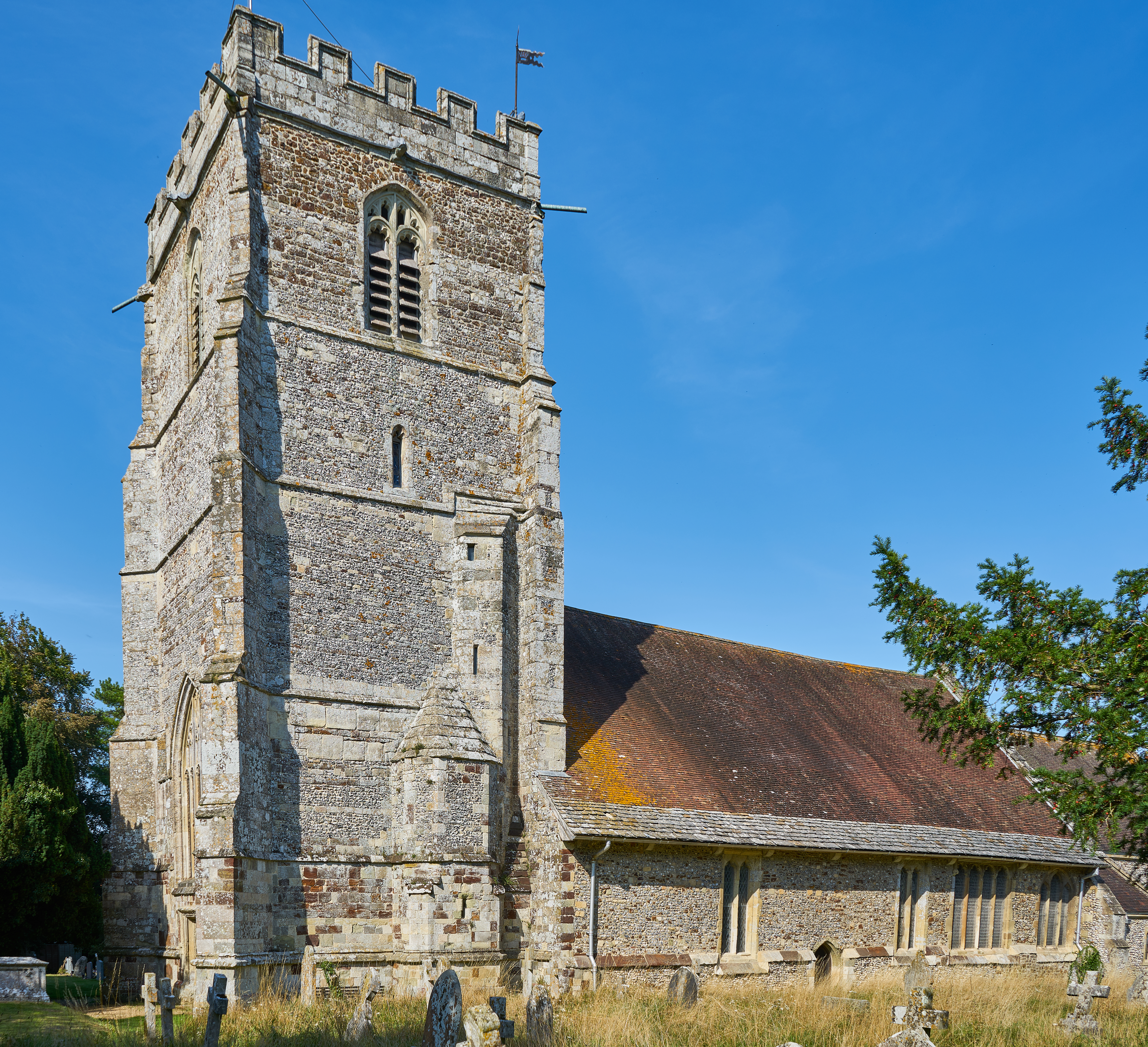
St Aldhelm's Church, Boveridge

St Aldhelm's Church is a former Church of England church in Boveridge, Dorset, England. It was built at the expense of Richard Brouncker in 1838 and became...

Boveridge

Boveridge is a hamlet in Dorset, England about 1 mile (1.6 km) north of Cranborne, 12 miles (19 km) south-west of Salisbury, Wiltshire, and 10 miles (16...

Boulsbury Wood

Boulsbury Wood is a 119.8-hectare (296-acre) biological Site of Special Scientific Interest in Dorset and Hampshire. The site is west of Fordingbridge...

Crendell

Crendell is a hamlet in the civil parish of Alderholt in the East Dorset district of Dorset, England. The hamlet is close to the Dorset-Hampshire border...

Lopshill

Lopshill is a hamlet in the New Forest district in Hampshire, England. It is in the civil parish of Damerham. It is about 4 miles (7 km) from the New...

Cranborne Hundred

Cranborne Hundred was a hundred in the county of Dorset, England, containing the following parishes: Ashmore Belchalwell (divided between Okeford Fitzpaine...

Cranborne

Cranborne is a village in East Dorset, England. At the 2011 census, the parish had a population of 779, remaining unchanged from 2001. The appropriate...

Monkton Up Wimborne Hundred

Monkton Up Wimborne Hundred or Up Wimborne Hundred was a hundred in the county of Dorset, England, containing the following parishes: Chettle Cranborne...

Nearby Amenities

Located within 500m of 50.928171,-1.8978997
Power: pole
Source: bing
Lat/Long: 50.9280312/-1.904139
Power: pole
Source: bing
Lat/Long: 50.9280272/-1.9024031
Power: pole
Source: bing
Lat/Long: 50.9274641/-1.9009999
Power: pole
Source: bing
Lat/Long: 50.9266286/-1.8990014
Power: pole
Source: bing
Lat/Long: 50.9267322/-1.8976262
Power: pole
Source: bing
Lat/Long: 50.9268126/-1.8963441
Power: pole
Source: bing
Lat/Long: 50.9269218/-1.8950109
Power: pole
Source: bing
Lat/Long: 50.9271765/-1.8940601
Power: pole
Source: bing
Lat/Long: 50.9274665/-1.893015
Power: pole
Source: bing
Lat/Long: 50.9277492/-1.892054
Power: pole
Source: bing
Lat/Long: 50.9270568/-1.8920846
Power: pole
Source: bing
Lat/Long: 50.9263747/-1.8921165
Power: pole
Source: bing
Lat/Long: 50.925679/-1.8921942
The data included in this document is from www.openstreetmap.org. The data is made available under ODbL.

Have you been to Perry Copse?

Leave your review of Perry Copse below (or comments, questions and feedback).