Burnmillbank Plantation
Wood, Forest in Northumberland
England
Burnmillbank Plantation

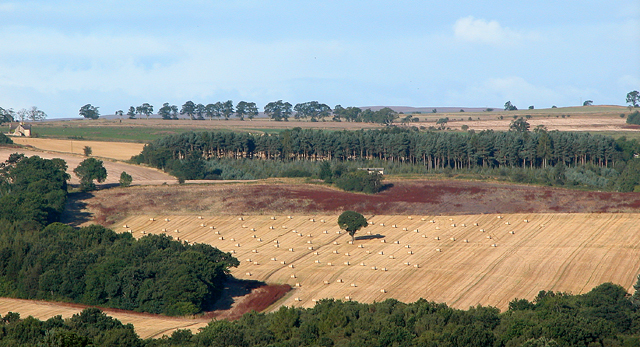
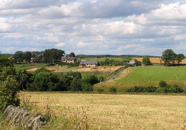
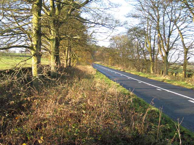
Burnmillbank Plantation is a picturesque woodland located in the county of Northumberland, England. Spread across a sprawling area, it is a haven for nature enthusiasts and those seeking tranquility amidst the beauty of nature.
The plantation is predominantly composed of a diverse range of trees, including oak, beech, and birch, which create a lush and vibrant forest ecosystem. These trees provide a habitat for various species of birds, mammals, and insects, making it an ideal spot for wildlife observation and bird-watching.
The woodland is crisscrossed by a network of well-maintained walking trails, offering visitors the opportunity to explore its scenic beauty at their own pace. These trails wind through the plantation, leading visitors through enchanting groves, past glistening streams, and alongside charming ponds.
One of the notable features of Burnmillbank Plantation is its ancient woodland. This remnant of the once extensive forest that covered the region is home to a rich array of plants and animals that have thrived for centuries. The old-growth trees and the moss-covered forest floor create a sense of timelessness and evoke a feeling of awe and wonder.
Throughout the year, the plantation displays a kaleidoscope of colors, with vibrant spring blossoms, lush green foliage in summer, and the fiery hues of autumn leaves. It is a popular destination for photographers, artists, and nature lovers seeking inspiration from the ever-changing scenery.
Overall, Burnmillbank Plantation is a hidden gem in Northumberland, offering a peaceful retreat in the midst of nature's splendor. Whether it's a leisurely stroll, a family picnic, or an immersive wildlife experience, this woodland provides a truly captivating experience for all who visit.
If you have any feedback on the listing, please let us know in the comments section below.
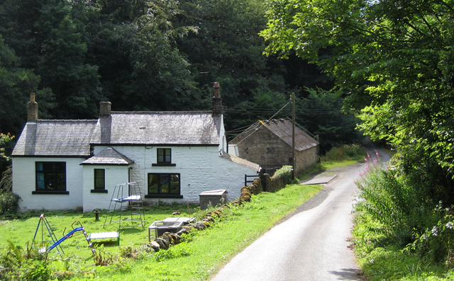
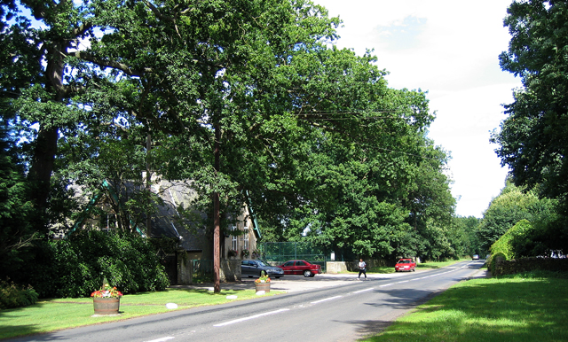
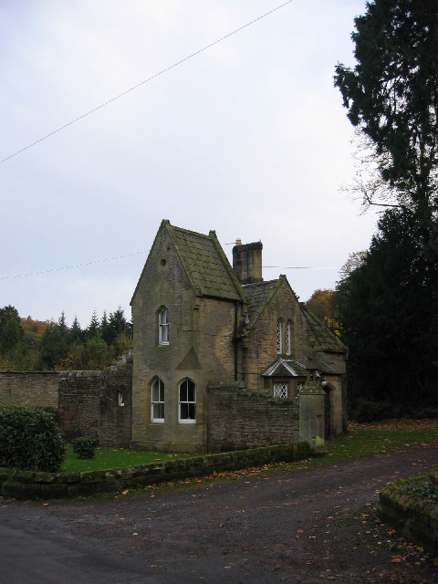
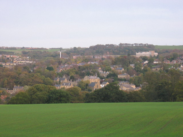
Burnmillbank Plantation Images
Images are sourced within 2km of 54.872321/-1.8883028 or Grid Reference NZ0753. Thanks to Geograph Open Source API. All images are credited.


Burnmillbank Plantation is located at Grid Ref: NZ0753 (Lat: 54.872321, Lng: -1.8883028)
Unitary Authority: Northumberland
Police Authority: Northumbria
What 3 Words
///crowned.items.midfield. Near Consett, Co. Durham
Related Wikis

Snods Edge
Snods Edge is a small hamlet in South Northumberland, about 4 miles (6 km) from Consett. The name is thought to have derived from "snow's edge", referring...

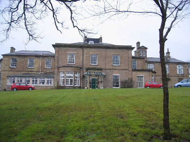
Shotley Hall
Shotley Hall is a Grade II* listed historic mansion in Shotley Low Quarter, Northumberland, England. It was designed in the Gothic Revival architectural...
Shotley Grove
Shotley Grove is a small settlement on the river Derwent, about 1 mile upstream of Shotley Bridge in County Durham, England. Today Shotley Grove is a pleasant...

Shotley Bridge
Shotley Bridge is a village, adjoining the town of Consett to the south in County Durham, England, 15 miles North West of Durham City. It is located on...
Benfieldside
Benfieldside is a parish in County Durham, in England. Although not a village in its own right (ecclesiastically it incorporates Shotley Bridge, Bridgehill...
Bridgehill
Bridgehill is an area of Consett in County Durham, England. It is situated near Benfieldside, Blackhill, Shotley Grove, and the River Derwent. == References... ==

Shotley Park
Shotley Park is a former stately home and estate near the town of Shotley Bridge in County Durham, England. It is a listed building with grade II.The house...
East Law
East Law is a small village in County Durham, England. It is situated on the A694 to the north of Consett and north east of Shotley Bridge. It is located...
Nearby Amenities
Located within 500m of 54.872321,-1.8883028Have you been to Burnmillbank Plantation?
Leave your review of Burnmillbank Plantation below (or comments, questions and feedback).