Allotment Plantation
Wood, Forest in Durham
England
Allotment Plantation
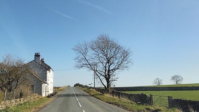
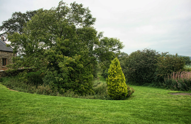
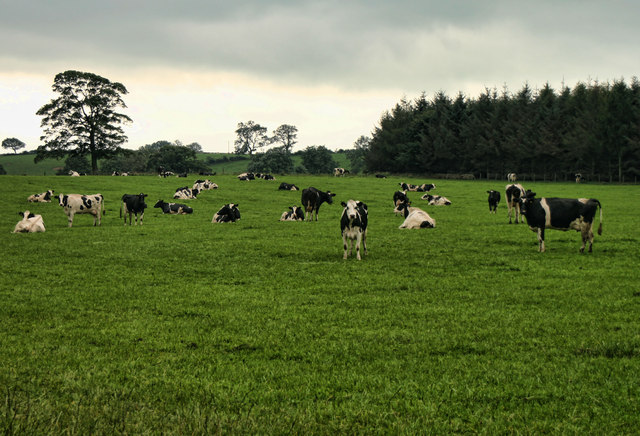
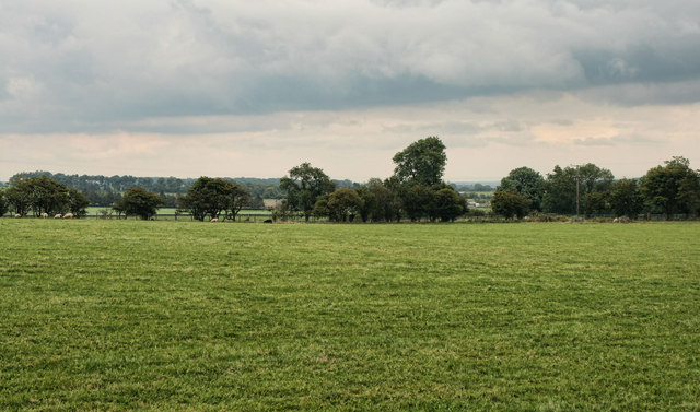
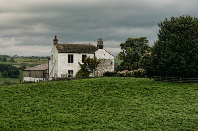
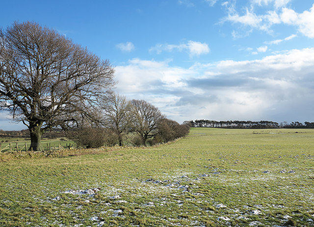
Allotment Plantation, Durham (Wood, Forest) is a picturesque wooded area located in Durham, England. Spanning over several acres, this plantation is known for its lush greenery and diverse flora and fauna. The woodland is primarily made up of deciduous trees, including oak, beech, and ash, which provide a tranquil and serene atmosphere.
The plantation is popular among nature enthusiasts, hikers, and birdwatchers due to its abundant wildlife. Various species of birds, such as woodpeckers, owls, and songbirds, can be spotted throughout the year. The woodland also supports a thriving population of small mammals, including squirrels, rabbits, and hedgehogs.
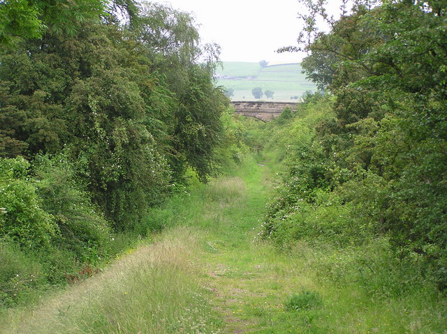
Allotment Plantation offers a network of well-maintained walking trails that wind through the forest, allowing visitors to explore and appreciate the natural beauty of the area. These trails vary in difficulty, catering to both beginners and experienced hikers. Along the way, there are several benches and picnic spots where visitors can rest and enjoy a packed lunch amidst the tranquil surroundings.
For those interested in gardening, the plantation also offers individual allotment plots where local residents can grow their own fruits, vegetables, and flowers. These plots are well-tended and provide a sense of community among gardeners.
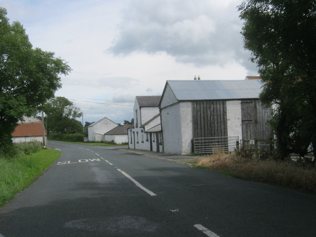
Allotment Plantation is easily accessible, with ample parking available for visitors. The plantation is open year-round, although it is particularly breathtaking during the spring and autumn seasons when the foliage is at its most vibrant.
Overall, Allotment Plantation, Durham (Wood, Forest) is a cherished natural space that offers a peaceful escape from the bustling city life, providing a sanctuary for both wildlife and visitors alike.
If you have any feedback on the listing, please let us know in the comments section below.
Allotment Plantation Images
Images are sourced within 2km of 54.577749/-1.9075794 or Grid Reference NZ0620. Thanks to Geograph Open Source API. All images are credited.

Allotment Plantation is located at Grid Ref: NZ0620 (Lat: 54.577749, Lng: -1.9075794)
Unitary Authority: County Durham
Police Authority: Durham
What 3 Words
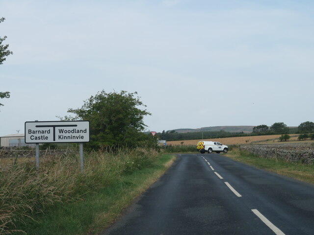
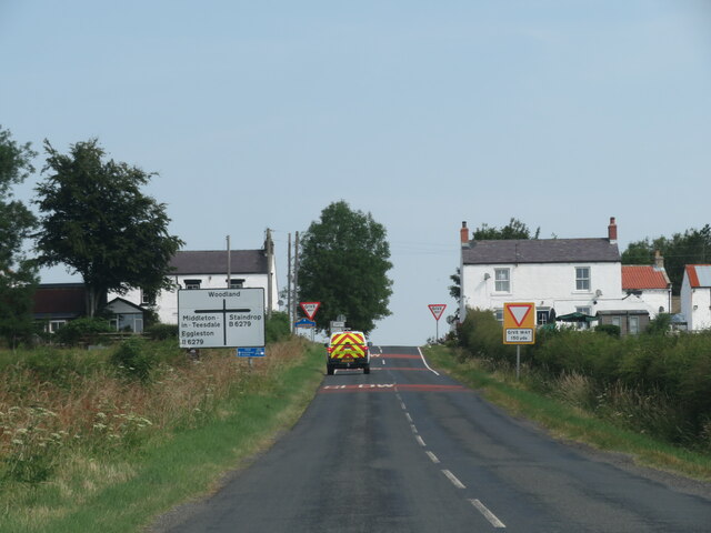
///goodness.cowering.sample. Near Barnard Castle, Co. Durham
Nearby Locations
Related Wikis

Marwood, County Durham
Marwood is a civil parish in County Durham, England. It had a population of 529 at the 2011 Census. == History == Marwood was a township in Gainford parish...
Stainton, County Durham
Stainton is a village in County Durham, in England. It is situated to the north east of Barnard Castle. Stainton Village has entirely residential with...

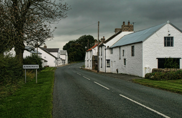
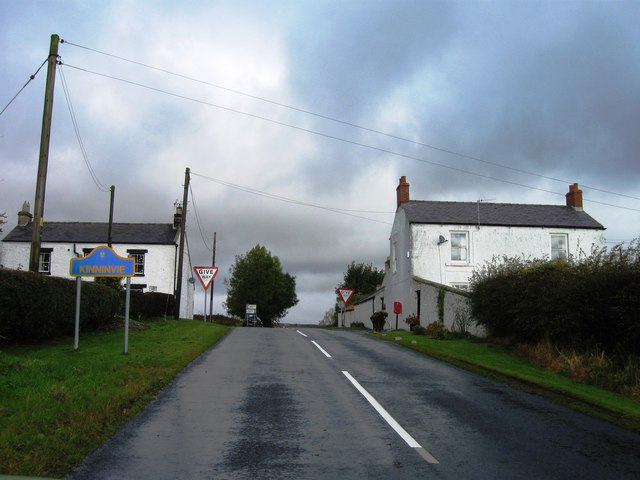
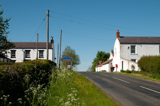
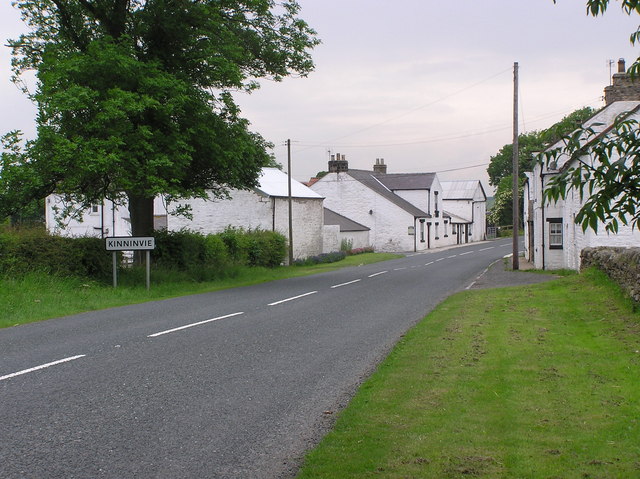
Kinninvie
Kinninvie is a hamlet in County Durham, England. It is situated to the north of Barnard Castle. Kinninvie is in the civil parish of Marwood. == References ==
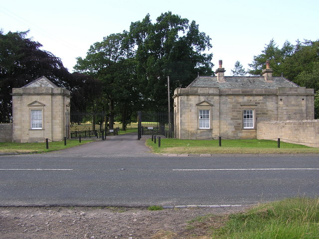
Streatlam Castle
Streatlam Castle was a Baroque stately home located near the town of Barnard Castle in County Durham, England, that was demolished in 1959. Owned by the...

Stainton Camp
Stainton Camp is a military installation at Stainton, County Durham. == History == The camp was built in 1941 during the Second World War and served as...
Radio Teesdale
Radio Teesdale was a community radio station in Barnard Castle, County Durham, serving the Teesdale area of England and owned and operated by Teesdale...
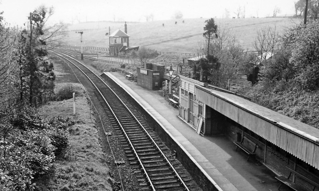
Barnard Castle railway station
Barnard Castle railway station was situated on the South Durham & Lancashire Union Railway between Bishop Auckland and Kirkby Stephen East. The railway...
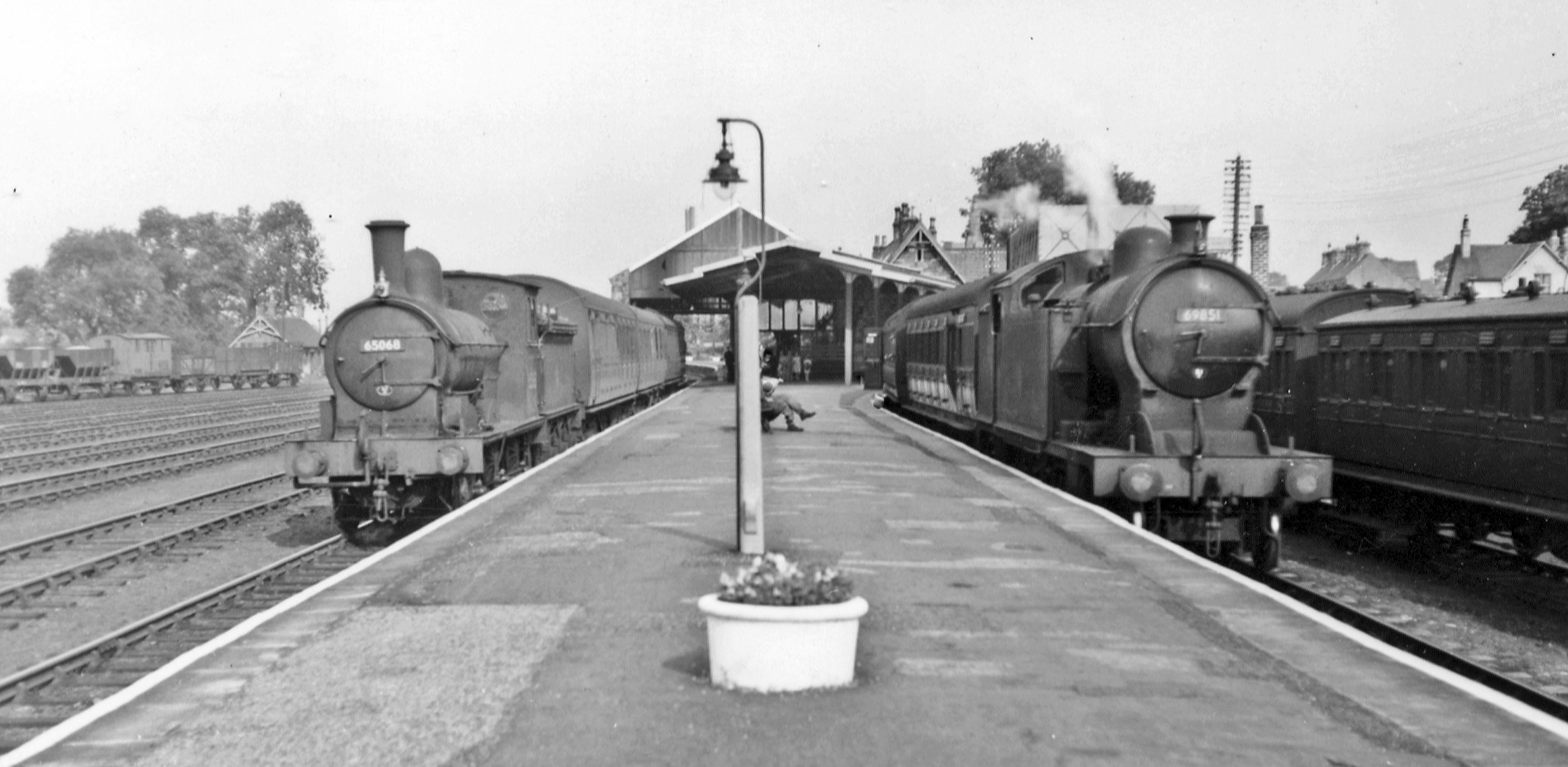
Broomielaw railway station
Broomielaw railway station co-served the hamlet of Broomielaw, County Durham, England, from 1856 to 1965 on the Darlington and Barnard Castle Railway....
Have you been to Allotment Plantation?
Leave your review of Allotment Plantation below (or comments, questions and feedback).