Bupton Copse

Wood, Forest in Wiltshire

England

Bupton Copse

2011 : Crossroads on the road to Bushton Left to Littlecott right to Corton Manor Farm, straight on to Wootton Bassett.
2011 : Crossroads on the road to Bushton Credit: Maurice Pullin

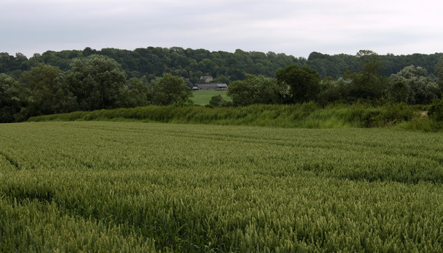
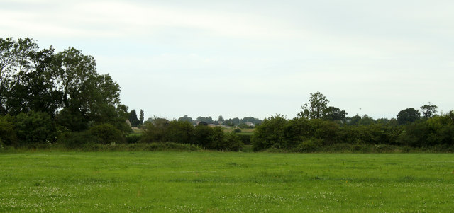
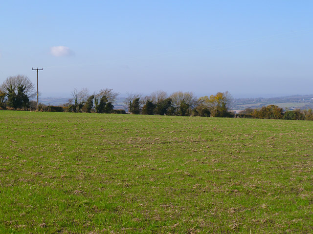
Bupton Copse is a beautiful woodland area located in Wiltshire, England. Covering an area of approximately 100 acres, it is a popular destination for nature lovers, hikers, and those seeking a peaceful retreat.

The copse is characterized by its diverse flora and fauna, with a variety of tree species such as oak, beech, and ash dominating the landscape. The woodland floor is covered in a thick carpet of bluebells and other wildflowers during the spring months, creating a stunning display of colors.

The forest is home to a wide range of wildlife, including deer, foxes, badgers, and various bird species. Birdwatchers can often spot woodpeckers, owls, and buzzards among the treetops. The copse also provides a habitat for numerous smaller creatures, such as squirrels, rabbits, and hedgehogs.

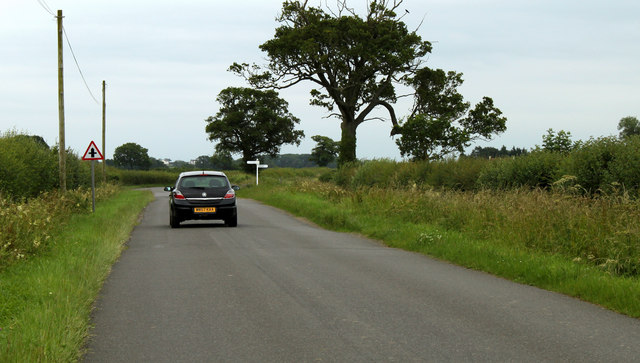
Visitors to Bupton Copse can enjoy a network of well-maintained footpaths, allowing them to explore the woodland at their leisure. There are also picnic areas scattered throughout the forest, providing a perfect spot to relax and enjoy the tranquil surroundings.

The copse is managed by the local authorities, who ensure the conservation and preservation of the area. There are occasional guided nature walks and educational programs organized for visitors, offering a deeper insight into the local ecology and biodiversity.

Overall, Bupton Copse is a haven for nature enthusiasts, offering breathtaking scenery, diverse wildlife, and a peaceful escape from the hustle and bustle of everyday life.

If you have any feedback on the listing, please let us know in the comments section below.
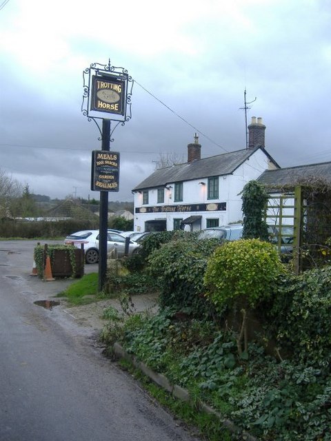
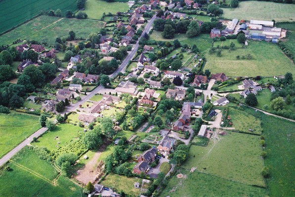
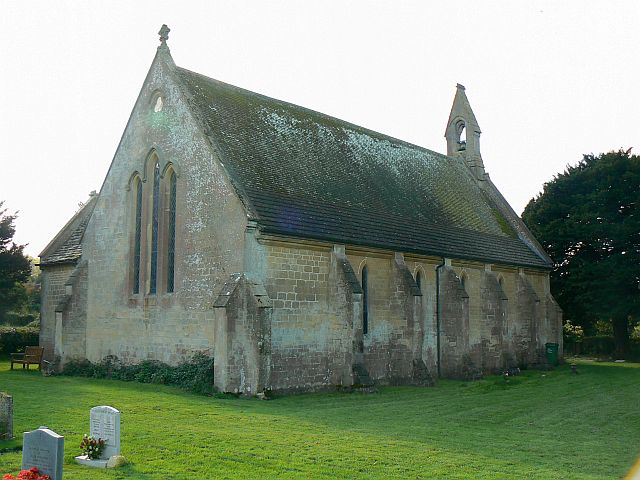
Bupton Copse Images

Images are sourced within 2km of 51.481412/-1.9140104 or Grid Reference SU0675. Thanks to Geograph Open Source API. All images are credited.

2011 : Crossroads on the road to Bushton Left to Littlecott right to Corton Manor Farm, straight on to Wootton Bassett.
2011 : Crossroads on the road to Bushton
Left to Littlecott right to Corton Manor Farm, straight on to Wootton Bassett.
2011 : Half a mile to Bushton Then on to Wootton Bassett.
2011 : Half a mile to Bushton
Then on to Wootton Bassett.
2011 : Wheat field near Marsh Farm Ripening well, will need rain soon or the yield will be down. May be too late already. No fun being a farmer, either too much rain or too little, too much sun or too little, but look on the bright side, if everything were perfect there would be nothing to moan about.

P.S. Shouldn't be rude about farmers, on the whole they are pleasant, helpful and fairly happy.
2011 : Wheat field near Marsh Farm
Ripening well, will need rain soon or the yield will be down. May be too late already. No fun being a farmer, either too much rain or too little, too much sun or too little, but look on the bright side, if everything were perfect there would be nothing to moan about. P.S. Shouldn't be rude about farmers, on the whole they are pleasant, helpful and fairly happy.
2011 : Pasture north of the road to Bushton
2011 : Track to the Medieval Village of Woodhill Has gained a wooden fence, a herd of cows and a drinking trough since <a href="https://www.geograph.org.uk/photo/899691">SU0577 : Track to Woodhill Park, near Bushton</a> in 2008.
2011 : Track to the Medieval Village of Woodhill
Has gained a wooden fence, a herd of cows and a drinking trough since SU0577 : Track to Woodhill Park, near Bushton in 2008.
2011 : Waiting for the next load Trailer parked in the corner of a pasture, looked well cared for, probably gone by now.
2011 : Waiting for the next load
Trailer parked in the corner of a pasture, looked well cared for, probably gone by now.
Countryside south of Swindon from the air Swindon is to the top right corner of the photo.
Countryside south of Swindon from the air
Swindon is to the top right corner of the photo.
2011 : North west from Highway Common Pastures, hedgerows, an oak tree about to assume its autumn adornment, then, further over, Clevancy Farm and Clevancy.
The escarpment to the right is topped by a wood on Clevancy Hill. The escarpment stretches more than eight miles from Compton Bassett to the south west almost as far as Wroughton, north east, where it peters out.
2011 : North west from Highway Common
Pastures, hedgerows, an oak tree about to assume its autumn adornment, then, further over, Clevancy Farm and Clevancy. The escarpment to the right is topped by a wood on Clevancy Hill. The escarpment stretches more than eight miles from Compton Bassett to the south west almost as far as Wroughton, north east, where it peters out.
Pasture, Hilmarton A view towards the scarp between Highway and Clevancy.
Pasture, Hilmarton
A view towards the scarp between Highway and Clevancy.
Farmland, Hilmarton A pastoral view from the start of the footpath to Highway from Clevancy.
Farmland, Hilmarton
A pastoral view from the start of the footpath to Highway from Clevancy.
Pasture, Hilmarton With the bridleway descending to Corton Farm from the scarp near Clevancy.
Pasture, Hilmarton
With the bridleway descending to Corton Farm from the scarp near Clevancy.
Farmland and track, Hilmarton A track and field of stubble to the northwest of Cliffansty Barn.
Farmland and track, Hilmarton
A track and field of stubble to the northwest of Cliffansty Barn.
Farmland, Hilmarton A collection of rollers at the edge of a large field of stubble beside Cliffansty Barn.
Farmland, Hilmarton
A collection of rollers at the edge of a large field of stubble beside Cliffansty Barn.
Bupton Hill Farm, Clyffe Pypard The track is a public footpath approaching the farm from the southwest.
Bupton Hill Farm, Clyffe Pypard
The track is a public footpath approaching the farm from the southwest.
Farmland, Clyffe Pypard A field just above the scarp near Nebo Farm.
Farmland, Clyffe Pypard
A field just above the scarp near Nebo Farm.
Farmland, Winterbourne Bassett Arable land beside the byway to the west of Whyr Farm.
Farmland, Winterbourne Bassett
Arable land beside the byway to the west of Whyr Farm.
Farmland, Clyffe Pypard A crop of oil-seed rape to the north of Stanmore Copse.
Farmland, Clyffe Pypard
A crop of oil-seed rape to the north of Stanmore Copse.
Farmland, Clyffe Pypard A flat arable field above the scarp that rises from the village.
Farmland, Clyffe Pypard
A flat arable field above the scarp that rises from the village.
Show me another place!

Bupton Copse is located at Grid Ref: SU0675 (Lat: 51.481412, Lng: -1.9140104)

Unitary Authority: Wiltshire

Police Authority: Wiltshire

What 3 Words

///apron.head.materials. Near Lyneham, Wiltshire

Nearby Locations

Bupton Copse

Related Wikis

RAF Clyffe Pypard

Royal Air Force Clyffe Pypard or more simply RAF Clyffe Pypard is a former Royal Air Force satellite airfield in Wiltshire, England. == History == No....

Clyffe Pypard

Clyffe Pypard is a village and civil parish about 3+1⁄2 miles (5.6 km) south of Royal Wootton Bassett in North Wiltshire, England.The parish includes the...

Church of St Peter, Clyffe Pypard

The Church of St Peter, Clyffe Pypard, Wiltshire is a parish church of the Diocese of Salisbury, England. It dates from the 13th and 15th centuries, and...

Bushton, Wiltshire

Bushton is an English hamlet about 3 miles (4.8 km) south of Royal Wootton Bassett in Wiltshire. It belongs to the civil parish of Clyffe Pypard. ��2...

Highway, Wiltshire

Highway is a hamlet and former civil parish, now in the parish of Hilmarton, in Wiltshire, England. The hamlet lies about 1+1⁄2 miles (2.4 km) southeast...

Winterbourne Bassett Stone Circle

Winterbourne Bassett Stone Circle is the remains of a stone circle near the village of Winterbourne Bassett in Wiltshire, South West England. Investigations...

Broad Town

Broad Town is a village and civil parish in Wiltshire, England, about 3 miles (5 km) southeast of Royal Wootton Bassett and 6 miles (10 km) southwest of...

Christ Church, Broad Town

Christ Church is the parish church of the village of Broad Town in Wiltshire, England. Constructed between 1844 and 1846 as a late Commissioners' church...

Nearby Amenities

Located within 500m of 51.481412,-1.9140104
Bupton Hill
Ele: 195
Natural: peak
Lat/Long: 51.4811873/-1.9086111
The data included in this document is from www.openstreetmap.org. The data is made available under ODbL.

Have you been to Bupton Copse?

Leave your review of Bupton Copse below (or comments, questions and feedback).