Springwell Hill Plantation
Wood, Forest in Durham
England
Springwell Hill Plantation

Springwell Hill Plantation is a historic property located in Durham, North Carolina. Situated amidst a picturesque wood and forest landscape, the plantation spans over a vast area, offering a serene and tranquil environment for visitors to enjoy.
The plantation is renowned for its rich history, dating back to the early 19th century when it was established as a working plantation. The main house, which still stands today, was built in the Greek Revival architectural style and serves as a testament to the plantation's grandeur and elegance.
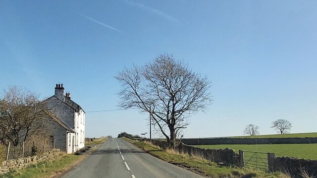
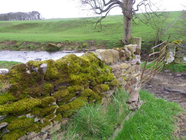
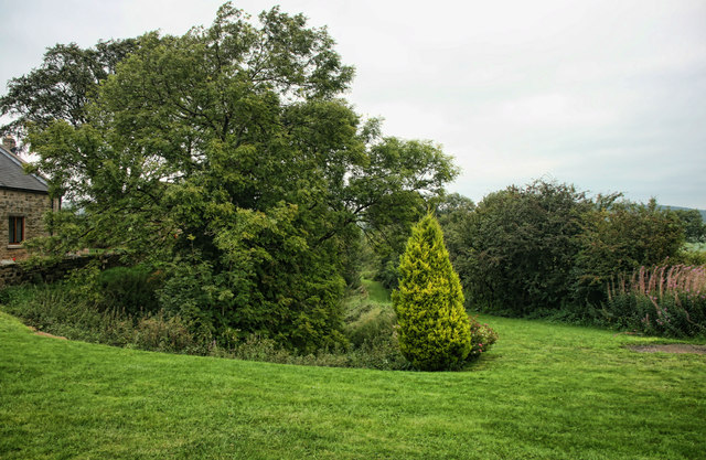
The surrounding wood and forest areas of Springwell Hill Plantation are home to a diverse range of flora and fauna. Towering oak, maple, and pine trees dominate the landscape, providing a breathtaking canopy of greenery. The forest floor is covered in a lush carpet of wildflowers, ferns, and mosses, creating a vibrant and enchanting atmosphere.
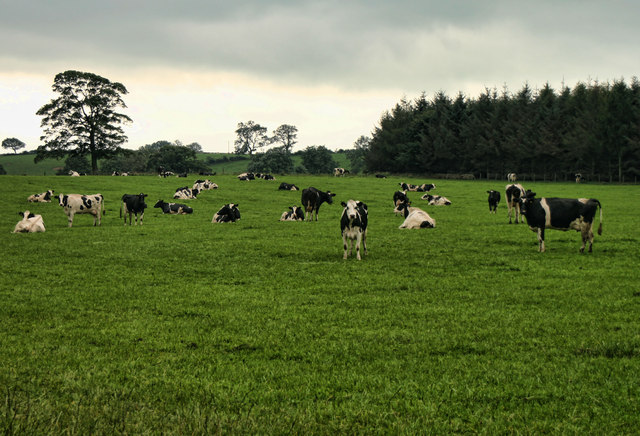
Nature enthusiasts and birdwatchers will find the plantation a haven for wildlife. The woodlands are home to various species of birds, including woodpeckers, owls, and warblers. Deer, squirrels, and rabbits are also commonly spotted, adding to the plantation's natural charm.
Visitors can explore the plantation's grounds through a network of walking trails, which wind through the forest and offer stunning views of the surrounding scenery. These trails provide an opportunity to immerse oneself in nature and experience the peacefulness of the plantation.
In conclusion, Springwell Hill Plantation in Durham is a captivating destination that offers a blend of history and natural beauty. With its majestic wood and forest areas, it provides a serene retreat for those seeking solace in nature's embrace.
If you have any feedback on the listing, please let us know in the comments section below.
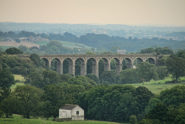
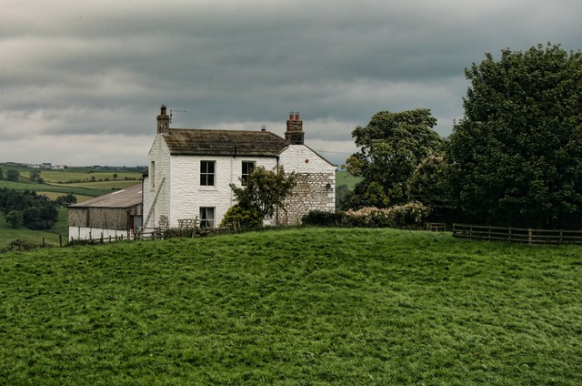
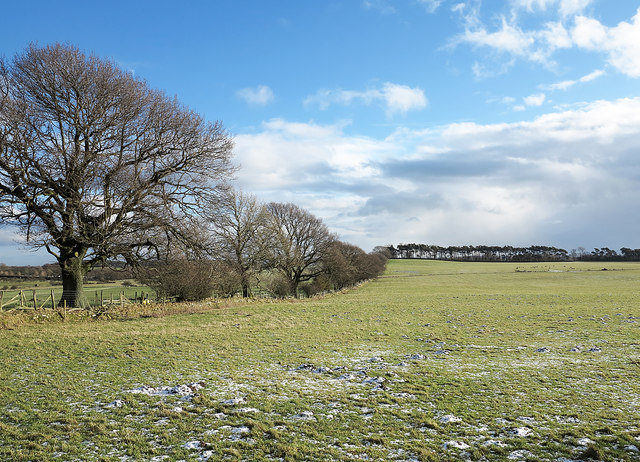
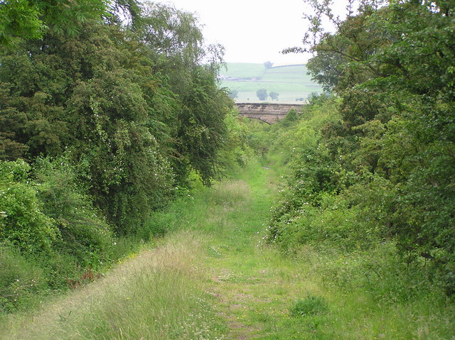
Springwell Hill Plantation Images
Images are sourced within 2km of 54.580686/-1.8946542 or Grid Reference NZ0620. Thanks to Geograph Open Source API. All images are credited.


Springwell Hill Plantation is located at Grid Ref: NZ0620 (Lat: 54.580686, Lng: -1.8946542)
Unitary Authority: County Durham
Police Authority: Durham
What 3 Words
///owns.microchip.climbing. Near Barnard Castle, Co. Durham
Nearby Locations
Related Wikis

Marwood, County Durham
Marwood is a civil parish in County Durham, England. It had a population of 529 at the 2011 Census. == History == Marwood was a township in Gainford parish...
Stainton, County Durham
Stainton is a village in County Durham, in England. It is situated to the north east of Barnard Castle. Stainton Village has entirely residential with...
Streatlam Castle
Streatlam Castle was a Baroque stately home located near the town of Barnard Castle in County Durham, England, that was demolished in 1959. Owned by the...

Kinninvie
Kinninvie is a hamlet in County Durham, England. It is situated to the north of Barnard Castle. Kinninvie is in the civil parish of Marwood. == References ==
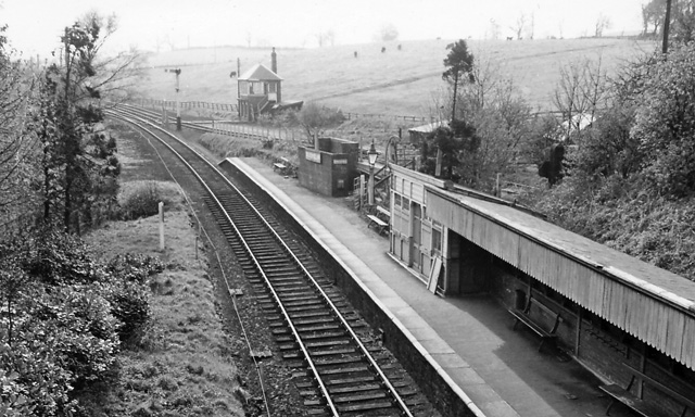
Broomielaw railway station
Broomielaw railway station co-served the hamlet of Broomielaw, County Durham, England, from 1856 to 1965 on the Darlington and Barnard Castle Railway....

Stainton Camp
Stainton Camp is a military installation at Stainton, County Durham. == History == The camp was built in 1941 during the Second World War and served as...
Radio Teesdale
Radio Teesdale was a community radio station in Barnard Castle, County Durham, serving the Teesdale area of England and owned and operated by Teesdale...
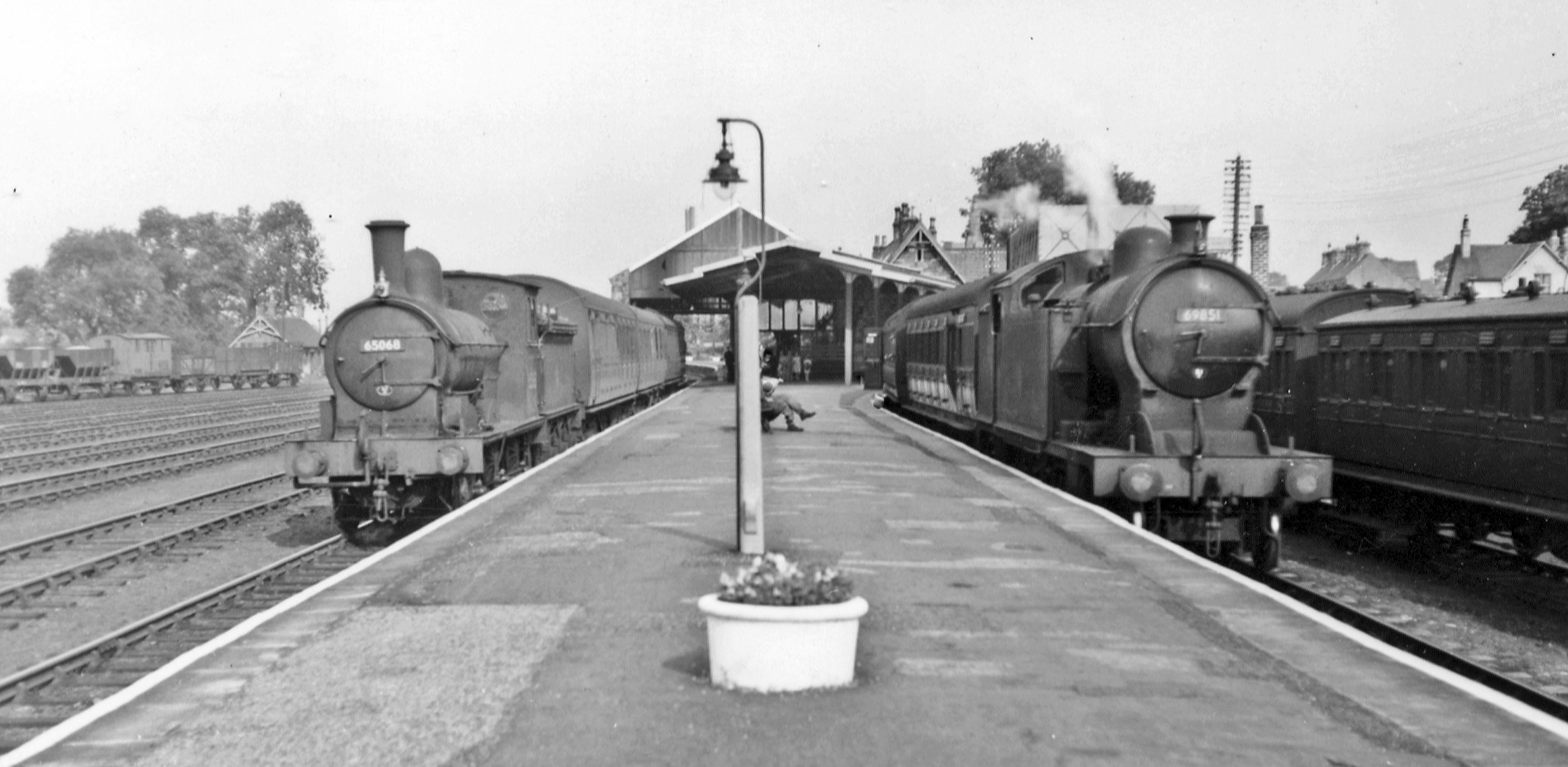
Barnard Castle railway station
Barnard Castle railway station was situated on the South Durham & Lancashire Union Railway between Bishop Auckland and Kirkby Stephen East. The railway...
Nearby Amenities
Located within 500m of 54.580686,-1.8946542Have you been to Springwell Hill Plantation?
Leave your review of Springwell Hill Plantation below (or comments, questions and feedback).