Forthburn Plantation
Wood, Forest in Durham
England
Forthburn Plantation

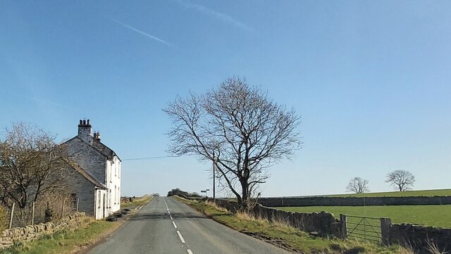
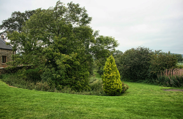
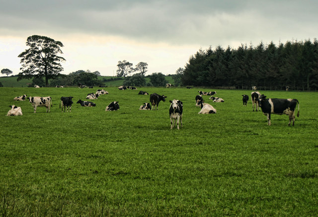
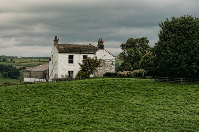
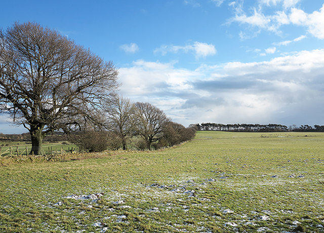
Forthburn Plantation, located in Durham, England, is a historic site known for its expansive woodlands and lush forests. Situated in a picturesque setting, the plantation covers a vast area and is renowned for its natural beauty and diverse wildlife.
The plantation's woodlands are predominantly composed of native tree species, such as oak, beech, and ash, creating a dense and vibrant forest ecosystem. The thick canopy of trees provides a habitat for a wide variety of birds, mammals, and insects, making Forthburn Plantation a popular destination for nature enthusiasts and birdwatchers.
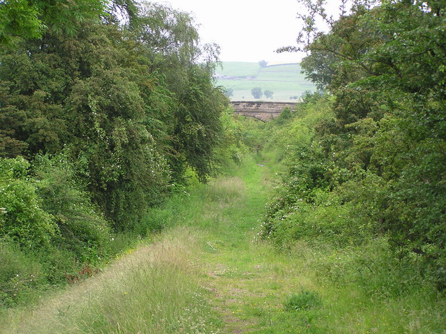
The plantation is also home to several walking trails, allowing visitors to explore the woodlands and enjoy the tranquility of the surroundings. These trails wind through the forest, providing opportunities for leisurely strolls and peaceful picnics amidst the natural beauty.
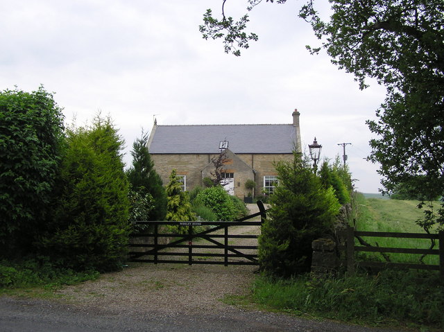
In addition to its natural attractions, Forthburn Plantation has a rich historical significance. The site was once a thriving plantation during the 18th and 19th centuries, when it played a crucial role in the local economy by producing timber and agricultural goods. Today, remnants of the plantation's past can still be seen, including the ruins of old farm buildings and the original stone walls that once delineated the property.
Overall, Forthburn Plantation offers a unique combination of natural beauty and historical significance, making it a must-visit destination for those seeking to immerse themselves in the tranquility of a woodland retreat while appreciating the rich heritage of the region.
If you have any feedback on the listing, please let us know in the comments section below.
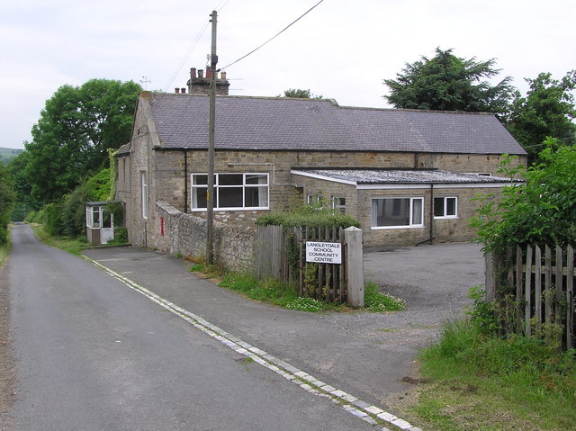
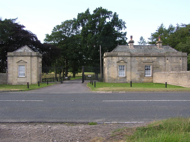
Forthburn Plantation Images
Images are sourced within 2km of 54.578821/-1.899919 or Grid Reference NZ0620. Thanks to Geograph Open Source API. All images are credited.


Forthburn Plantation is located at Grid Ref: NZ0620 (Lat: 54.578821, Lng: -1.899919)
Unitary Authority: County Durham
Police Authority: Durham
What 3 Words
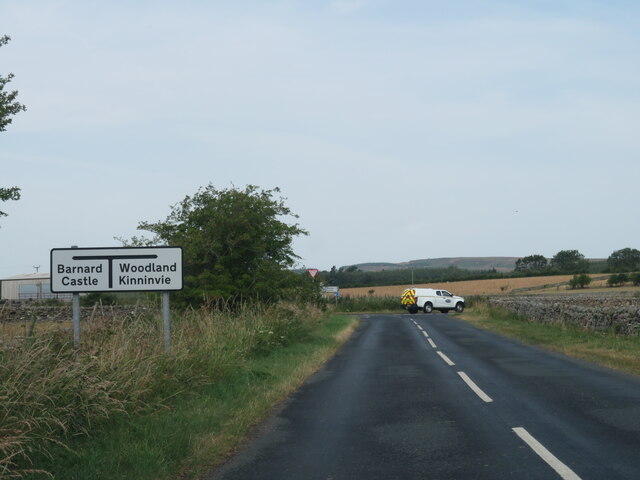
///passively.steep.seated. Near Barnard Castle, Co. Durham
Nearby Locations
Related Wikis

Marwood, County Durham
Marwood is a civil parish in County Durham, England. It had a population of 529 at the 2011 Census. == History == Marwood was a township in Gainford parish...
Stainton, County Durham
Stainton is a village in County Durham, in England. It is situated to the north east of Barnard Castle. Stainton Village has entirely residential with...

Kinninvie
Kinninvie is a hamlet in County Durham, England. It is situated to the north of Barnard Castle. Kinninvie is in the civil parish of Marwood. == References ==
Streatlam Castle
Streatlam Castle was a Baroque stately home located near the town of Barnard Castle in County Durham, England, that was demolished in 1959. Owned by the...

Stainton Camp
Stainton Camp is a military installation at Stainton, County Durham. == History == The camp was built in 1941 during the Second World War and served as...
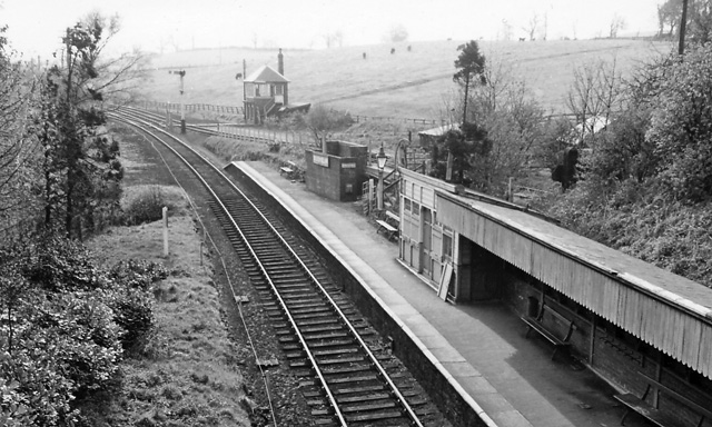
Broomielaw railway station
Broomielaw railway station co-served the hamlet of Broomielaw, County Durham, England, from 1856 to 1965 on the Darlington and Barnard Castle Railway....
Radio Teesdale
Radio Teesdale was a community radio station in Barnard Castle, County Durham, serving the Teesdale area of England and owned and operated by Teesdale...
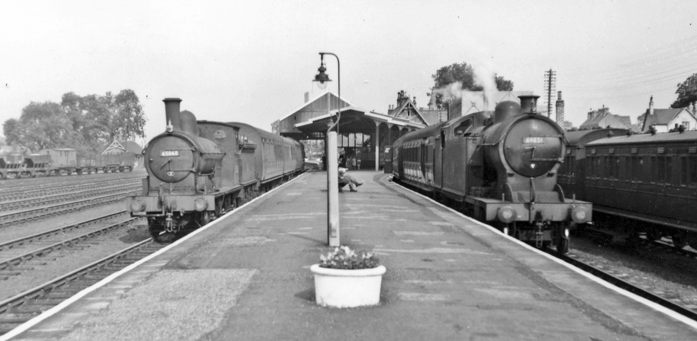
Barnard Castle railway station
Barnard Castle railway station was situated on the South Durham & Lancashire Union Railway between Bishop Auckland and Kirkby Stephen East. The railway...
Nearby Amenities
Located within 500m of 54.578821,-1.899919Have you been to Forthburn Plantation?
Leave your review of Forthburn Plantation below (or comments, questions and feedback).