Cumnock
Settlement in Ayrshire
Scotland
Cumnock
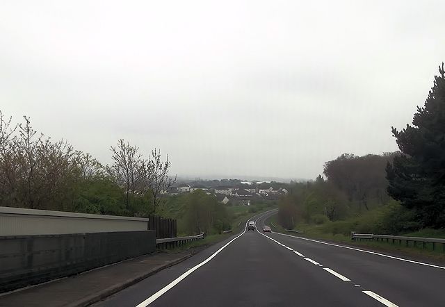
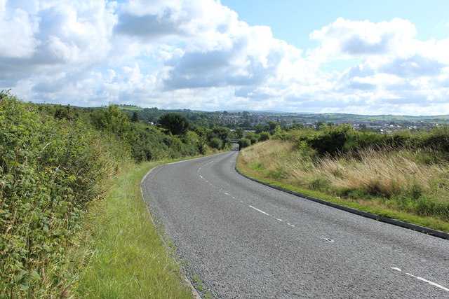
![Site of Cumnock station View SE on the A76 leaving Cumnock, where the ex-Glasgow &amp; South Western line from Ayr via Annbank and Drongan (to the right) - (to the left) Cronberry and Muirkirk used to cross by an overbridge. The station had been on the right: it was closed along with the line Annbank - Drongan - Cronberry from 10/9/51 to passengers, 1/7/59 to goods. (See also <a href="https://www.geograph.org.uk/photo/3233133">NS4024 : Junction at site of Annbank station, 1994</a>). [Apologies for an uninspiring scene].](https://s2.geograph.org.uk/geophotos/03/35/94/3359410_7855e0da.jpg)
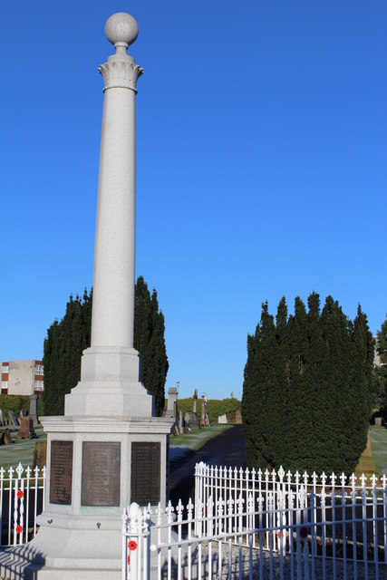
Cumnock is a small town located in East Ayrshire, Scotland. Situated approximately 50 miles southwest of Glasgow, it lies near the River Lugar in the heart of the Ayrshire coalfield. With a population of around 13,000 people, Cumnock has a rich industrial history that dates back to the 18th century.
Once known as a major coal mining town, Cumnock experienced significant growth during the Industrial Revolution, attracting workers to its numerous collieries. However, the decline of the coal industry in the mid-20th century led to economic challenges for the town.
Today, Cumnock is a vibrant community that offers a range of amenities and attractions. The town center features a variety of shops, cafes, and restaurants, serving both locals and visitors. The nearby Afton Water and Dumfries House Estate provide picturesque natural landscapes for outdoor enthusiasts.
Cumnock holds historical significance as the birthplace of James Keir Hardie, the founder of the Labour Party and a key figure in the British labor movement. The town pays homage to this heritage through landmarks such as the Keir Hardie Memorial Primary School and a statue of the influential politician.
While Cumnock has faced economic challenges in recent decades, community initiatives have been established to revitalize the area. The regeneration efforts aim to create new job opportunities, attract investment, and enhance the overall quality of life for residents.
In summary, Cumnock is a small town in Ayrshire with a rich industrial history. Despite its challenges, the town continues to evolve, offering a range of amenities, natural beauty, and a strong sense of community.
If you have any feedback on the listing, please let us know in the comments section below.
Cumnock Images
Images are sourced within 2km of 55.454889/-4.26726 or Grid Reference NS5620. Thanks to Geograph Open Source API. All images are credited.


Cumnock is located at Grid Ref: NS5620 (Lat: 55.454889, Lng: -4.26726)
Unitary Authority: East Ayrshire
Police Authority: Ayrshire
What 3 Words
///sampling.removed.apart. Near Cumnock, East Ayrshire
Nearby Locations
Related Wikis

Robert Burns Academy
The Robert Burns Academy (Scottish Gaelic: Acadamaidh Robert Burns) is a secondary school located in Cumnock, East Ayrshire, Scotland, which opened to...

Glaisnock Water
The Glaisnock Water is a tributary of the Lugar Water in East Ayrshire, Scotland. It passes under the Glaisnock Viaduct. The source is located south of...

Cumnock
Cumnock (Scottish Gaelic: Cumnag) is a town and former civil parish located in East Ayrshire, Scotland. The town sits at the confluence of the Glaisnock...

Cumnock Town Hall
Cumnock Town Hall is a municipal building in Glaisnock Street, Cumnock, East Ayrshire, Scotland. The structure, which is used as a community events venue...
Nearby Amenities
Located within 500m of 55.454889,-4.26726Have you been to Cumnock?
Leave your review of Cumnock below (or comments, questions and feedback).