Templand Wood
Wood, Forest in Ayrshire
Scotland
Templand Wood
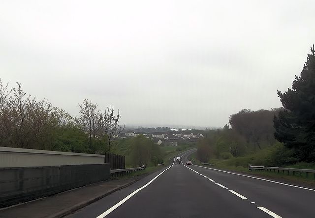
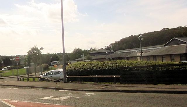
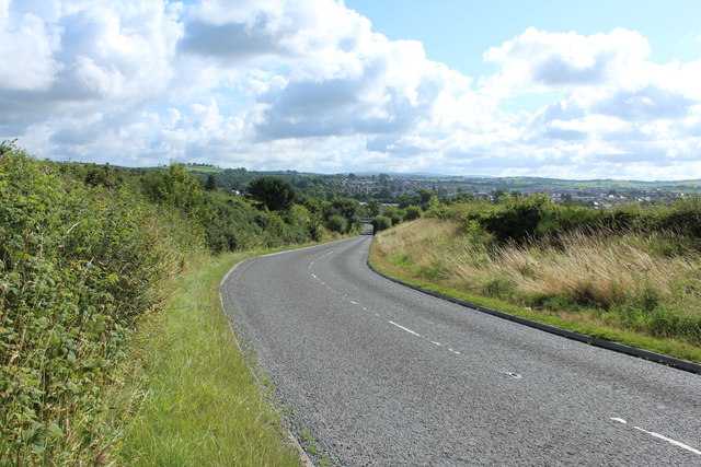
![Site of Cumnock station View SE on the A76 leaving Cumnock, where the ex-Glasgow &amp; South Western line from Ayr via Annbank and Drongan (to the right) - (to the left) Cronberry and Muirkirk used to cross by an overbridge. The station had been on the right: it was closed along with the line Annbank - Drongan - Cronberry from 10/9/51 to passengers, 1/7/59 to goods. (See also <a href="https://www.geograph.org.uk/photo/3233133">NS4024 : Junction at site of Annbank station, 1994</a>). [Apologies for an uninspiring scene].](https://s2.geograph.org.uk/geophotos/03/35/94/3359410_7855e0da.jpg)
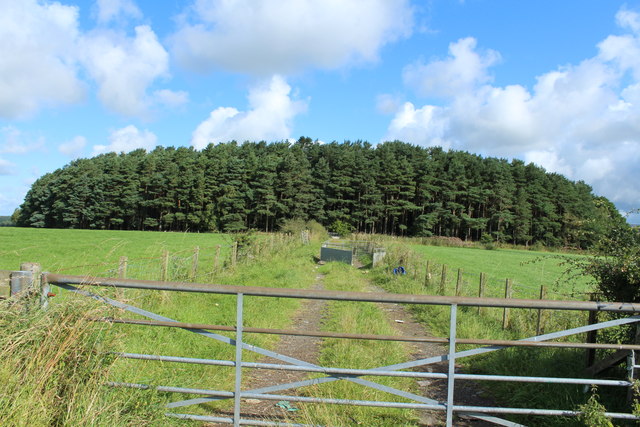
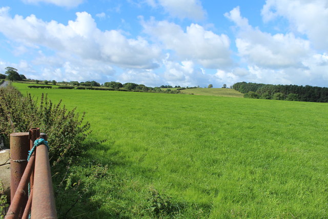
Templand Wood is a picturesque woodland located in Ayrshire, Scotland. Covering an area of approximately 50 hectares, this enchanting forest is situated near the village of Mauchline and is surrounded by rolling green hills and stunning countryside.
The wood is predominantly composed of native broadleaf trees, such as oak, ash, and birch, creating a diverse and vibrant ecosystem. The dense canopy provides shelter for various bird species, including woodpeckers, thrushes, and owls, making it a popular destination for birdwatchers. The forest floor is adorned with an array of wildflowers and ferns, adding to the beauty of the woodland.
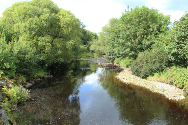
There are several well-maintained walking trails that crisscross through Templand Wood, allowing visitors to explore its natural wonders. These paths lead to secluded clearings and hidden streams, offering peaceful spots for picnicking or simply immersing oneself in the tranquility of nature.
The wood has a rich history, with evidence of ancient settlements and a medieval chapel within its boundaries. The remains of a Templar chapel, from which the wood derives its name, can still be seen today, providing a glimpse into the area's past.
Templand Wood is open to the public year-round and is a popular destination for nature lovers, hikers, and those seeking a peaceful retreat. Its beauty and serenity make it an ideal place to escape the hustle and bustle of everyday life and reconnect with nature.
If you have any feedback on the listing, please let us know in the comments section below.
Templand Wood Images
Images are sourced within 2km of 55.458097/-4.2652371 or Grid Reference NS5620. Thanks to Geograph Open Source API. All images are credited.


Templand Wood is located at Grid Ref: NS5620 (Lat: 55.458097, Lng: -4.2652371)
Unitary Authority: East Ayrshire
Police Authority: Ayrshire
What 3 Words
///minority.offerings.payer. Near Cumnock, East Ayrshire
Nearby Locations
Related Wikis

Robert Burns Academy
The Robert Burns Academy (Scottish Gaelic: Acadamaidh Robert Burns) is a secondary school located in Cumnock, East Ayrshire, Scotland, which opened to...

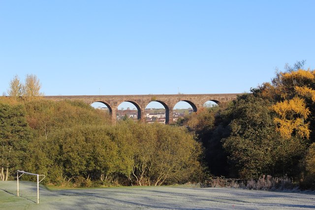
Woodroad Viaduct
The Woodroad Viaduct, also known as Bank Viaduct or Templand Viaduct, is a viaduct carrying the Glasgow South Western Line over the Lugar Water at Cumnock...

Cumnock
Cumnock (Scottish Gaelic: Cumnag) is a town and former civil parish located in East Ayrshire, Scotland. The town sits at the confluence of the Glaisnock...

Glaisnock Water
The Glaisnock Water is a tributary of the Lugar Water in East Ayrshire, Scotland. It passes under the Glaisnock Viaduct. The source is located south of...

Cumnock Town Hall
Cumnock Town Hall is a municipal building in Glaisnock Street, Cumnock, East Ayrshire, Scotland. The structure, which is used as a community events venue...

Cumnock Juniors F.C.
Cumnock Juniors Football Club are a Scottish football club based in Cumnock, Ayrshire. The Nock play their home games at Townhead Park and compete in...
Cumnock Academy
Cumnock Academy was a secondary school in Cumnock, East Ayrshire, Scotland.Notable former pupils include Iona McDonald, Lord Lieutenant of Ayrshire and...
Cumnock (original) railway station
Cumnock railway station was a railway station serving the town of Cumnock, East Ayrshire, Scotland. The station was originally part of the Glasgow, Paisley...
Related Videos

Why No New Videos Lately? Cabin Fever #dumfriesandgalloway #scottishmountains #camping #hiking
Some of yous may be wondering why there is a lack of videos recently, its mainly due to the weather, for weeks (months) it has ...

Loudoun Hill - A Scottish Hill in Ayrshire with some amazing views
scottishcountryside #walking #historicalplaces #getoutside #scotland Instagram ...

Cumnock - East Ayrshire |🏴
CUMNOCK Cumnock is a Victorian looking town in East Ayrshire and lies at the confluence of Lugar Water and Glaisnock Water.

Beautiful Nature | Dumfries House #shorts #youtubeshorts #asmr
Beautiful Nature | Dumfries House #asmr #beautifulnature #plants #dumfries #nature #viburnumplant #viral #youtube ...
Nearby Amenities
Located within 500m of 55.458097,-4.2652371Have you been to Templand Wood?
Leave your review of Templand Wood below (or comments, questions and feedback).