Holmhead
Settlement in Ayrshire
Scotland
Holmhead
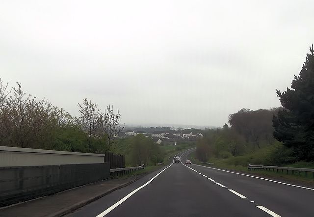
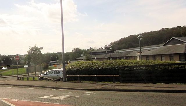
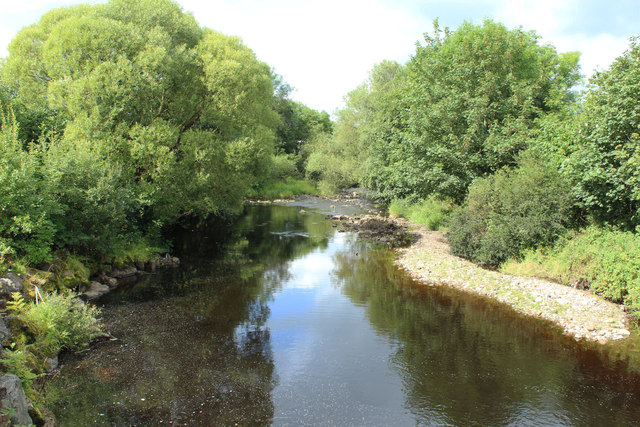
![Site of Cumnock station View SE on the A76 leaving Cumnock, where the ex-Glasgow &amp; South Western line from Ayr via Annbank and Drongan (to the right) - (to the left) Cronberry and Muirkirk used to cross by an overbridge. The station had been on the right: it was closed along with the line Annbank - Drongan - Cronberry from 10/9/51 to passengers, 1/7/59 to goods. (See also <a href="https://www.geograph.org.uk/photo/3233133">NS4024 : Junction at site of Annbank station, 1994</a>). [Apologies for an uninspiring scene].](https://s2.geograph.org.uk/geophotos/03/35/94/3359410_7855e0da.jpg)
Holmhead is a small village located in Ayrshire, Scotland. Situated approximately 5 miles northeast of Ayr, the village is nestled in a picturesque rural setting, surrounded by rolling hills and farmland. Holmhead falls within the South Ayrshire council area and is part of the historic county of Ayrshire.
The village is primarily residential, with a population of around 200 residents. The houses in Holmhead are a mix of traditional cottages and more modern dwellings, giving the village a charming and diverse architectural appeal. Holmhead benefits from a close-knit community, with residents often participating in local events and activities.
Despite its small size, the village offers a range of amenities for its residents. These include a community hall, a primary school, and a local pub. The community hall serves as a hub for various events and gatherings, providing a space for socializing and hosting community activities.
Holmhead is surrounded by beautiful countryside, making it an ideal location for those who enjoy outdoor activities. The village is in close proximity to several nature trails and walking routes, offering opportunities for hiking, cycling, and exploring the scenic surroundings.
For everyday needs, residents can access nearby towns such as Ayr or Prestwick, which provide a wider range of services, shops, and leisure facilities. The village is well-connected by road, with easy access to major transportation routes, making commuting to nearby towns and cities convenient.
Overall, Holmhead offers a peaceful and idyllic setting for residents, with its rural charm and strong sense of community.
If you have any feedback on the listing, please let us know in the comments section below.
Holmhead Images
Images are sourced within 2km of 55.457324/-4.275498 or Grid Reference NS5620. Thanks to Geograph Open Source API. All images are credited.


Holmhead is located at Grid Ref: NS5620 (Lat: 55.457324, Lng: -4.275498)
Unitary Authority: East Ayrshire
Police Authority: Ayrshire
What 3 Words
///pixies.kinds.loopholes. Near Cumnock, East Ayrshire
Nearby Locations
Related Wikis

Cumnock Academy
Cumnock Academy was a secondary school in Cumnock, East Ayrshire, Scotland.Notable former pupils include Iona McDonald, Lord Lieutenant of Ayrshire and...
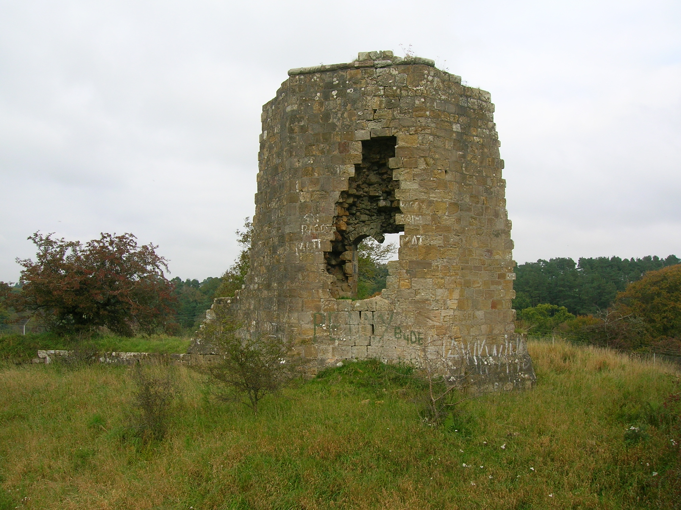
Terringzean Castle, East Ayrshire
Terringzean Castle, also Taringzean, pronounced 'Tringan', is a Category B listed castle ruin lying above the River Lugar and the Terringzean Holm in the...

Robert Burns Academy
The Robert Burns Academy (Scottish Gaelic: Acadamaidh Robert Burns) is a secondary school located in Cumnock, East Ayrshire, Scotland, which opened to...

Glaisnock Water
The Glaisnock Water is a tributary of the Lugar Water in East Ayrshire, Scotland. It passes under the Glaisnock Viaduct. The source is located south of...
Nearby Amenities
Located within 500m of 55.457324,-4.275498Have you been to Holmhead?
Leave your review of Holmhead below (or comments, questions and feedback).